Derrick VC Rest Area
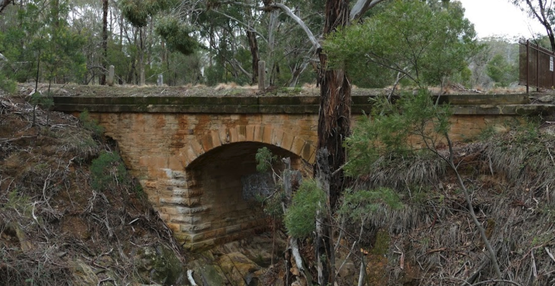
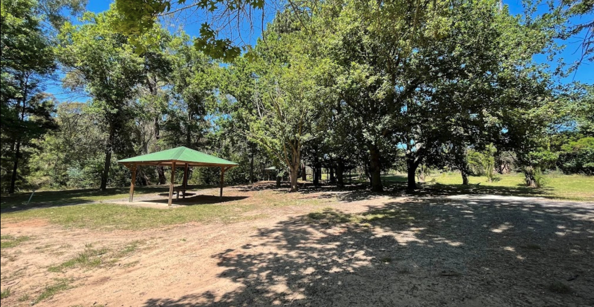
While stopping at the Derrick VC Rest Area, is a good place for rest with trees for shade, public toilets with hand wash basin, undercover picnic tables, rubbish bins and tank water. Take a look at the Towrang Bridge, it's a Convict built bridge from a bygone era, built around 1839 and still standing today.
Location Map
Entrance to the Derrick VC Rest Area
Derrick VC Rest Area location map
Address
Derrick VC Rest Area, Hume Highway, Boxers Creek, 2580, New South Wales
Sat Nav Coordinate
-34.73622856940642, 149.8302725671258
Road Access
Asphalt Road Surface
Parking Area
Predominantly Asphalt Surface
Elevation above Sea Level
628.5 meters
Drive through site
Yes - Some Drive through sites available
Big Rigs
Yes - there is room to maneuver
Power Available
No onsite mains power available
Toilets
Yes - At least one public toilet block available
Dump Point
No black water dump point
Rubbish Bins
Yes - At least one rubbish bin located here
Drinking Water
Non Potable Water is available and it must be treated first before drinking
Shade
Yes - Quite a few Shady Spots to select from
Picnic Tables
Yes - At least one Picnic Table located here
Fixed BBQ's
Yes - At least one BBQ facility is available
Pet Friendly
Yes - Dogs are Permitted Conditions Apply
Childrens Playground
No playground infrastructure onsite
Short Walks
Nothing much to see here
Fishing
No fishing spots within easy walking distance
TV Reception
Yes - Your TV will pick up reception here
Mobile Phone Reception
Mobile phone coverage is available depending on your carrier
Internet Access
Yes - Uses your Mobile Phones Internet Data Plan
Unique Pageviews
3,742
Facilities Available
 ,
,  ,
,  ,
,  ,
, 
Camping Info
