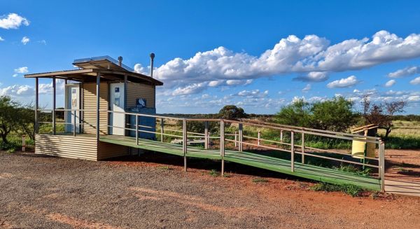
Facilities: Wheelchair Toilet Access
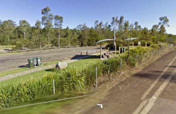
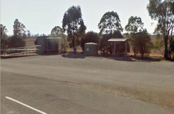
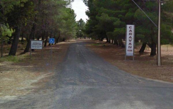
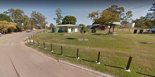
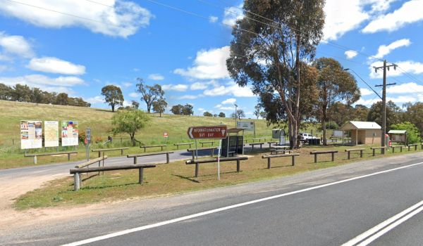
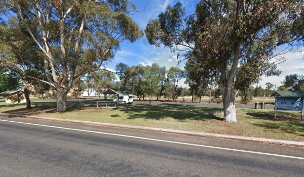
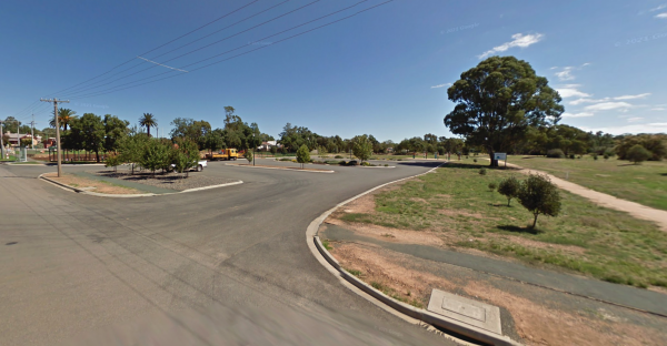
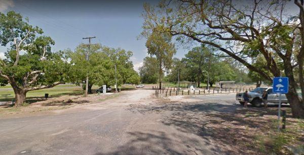
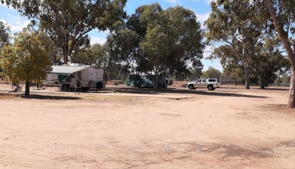
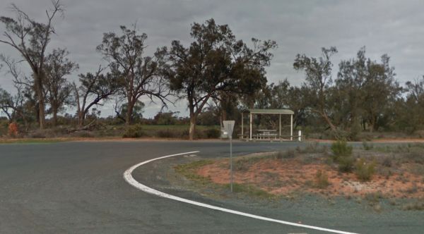
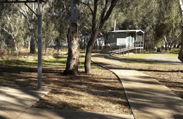
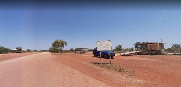
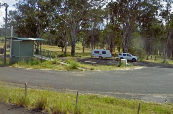
12 Mile Rest Area - Southbound
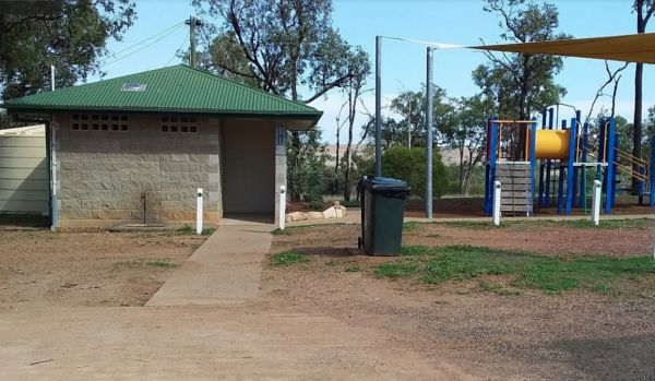
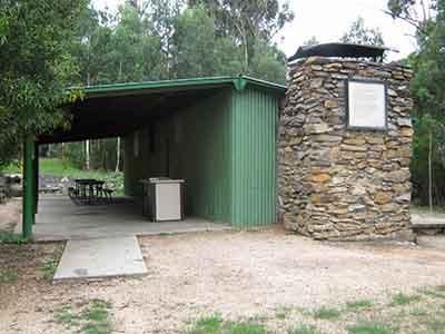
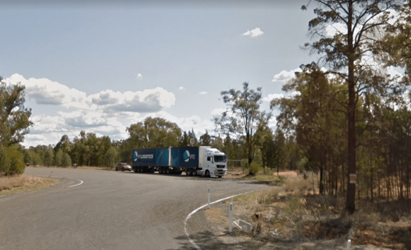
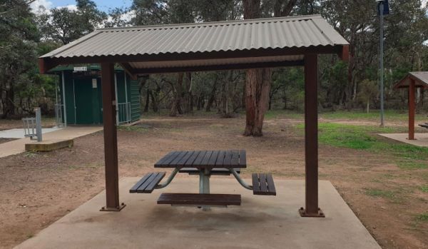
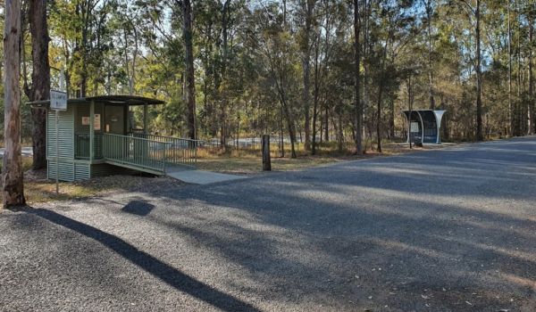
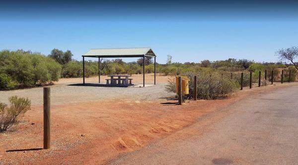
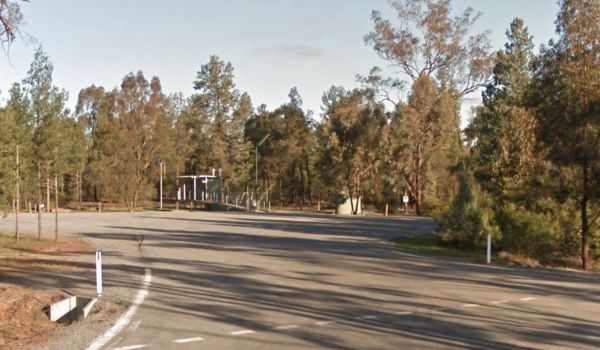
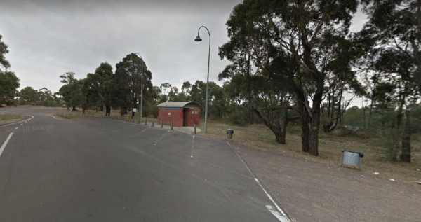
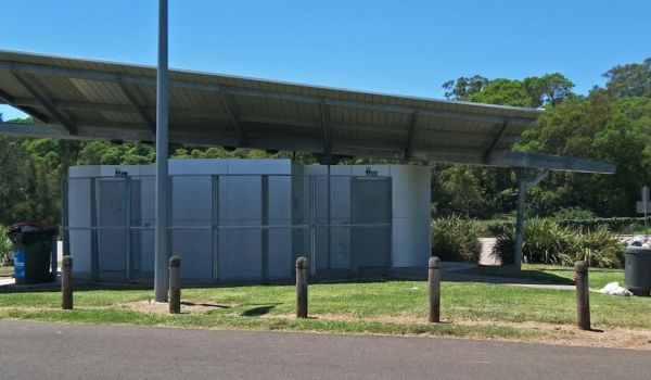
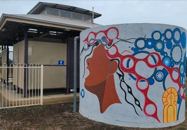
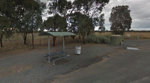
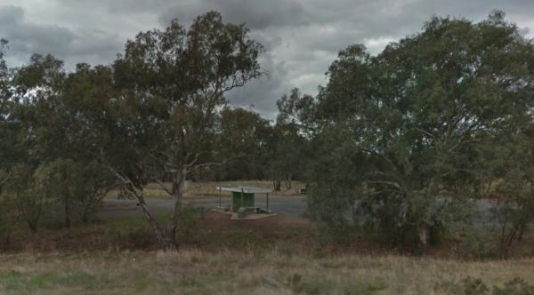
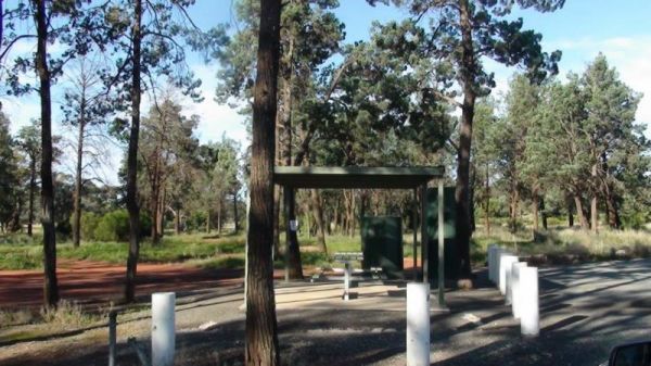
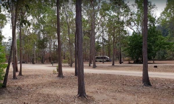
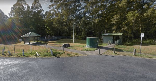
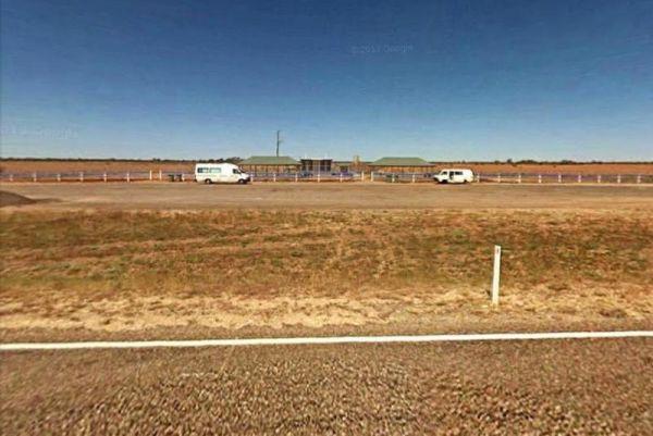
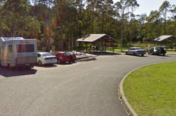
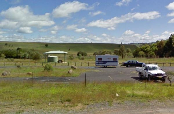
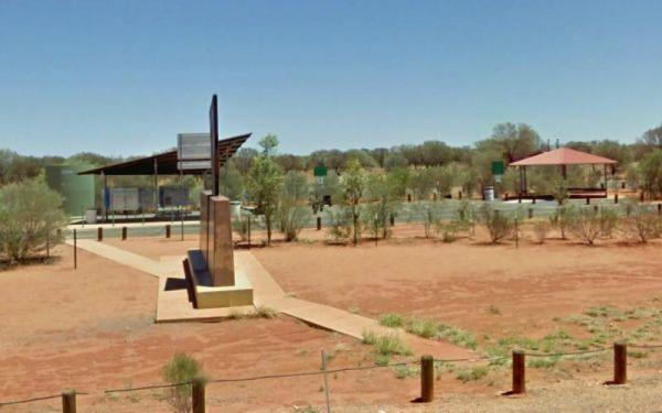
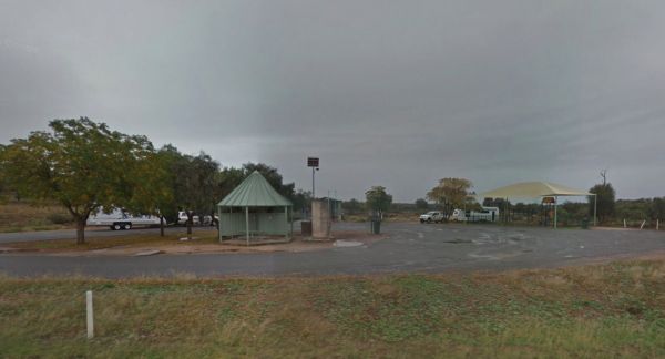
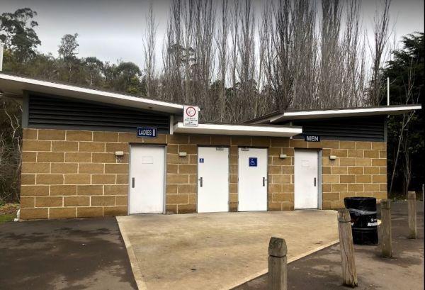
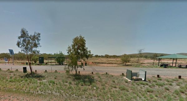
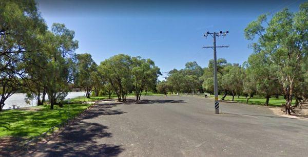
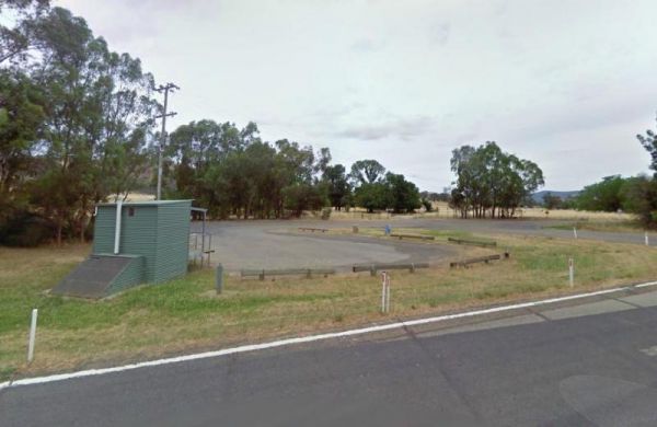
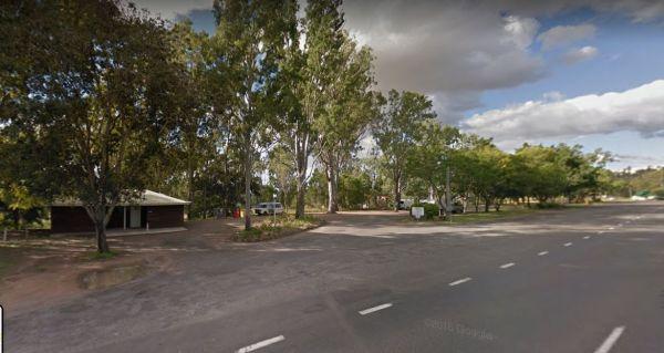
The 12 Mile Rest Area has two public toilets, and a few rubbish bins and undercover picnic tables. You will have plenty of room to park your caravan, but please make room for the truckies, as it's a popular truck rest area for them.
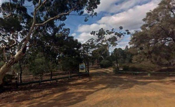
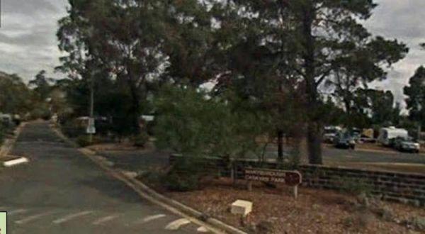
Entrance to the 12 Mi ...
Read More...
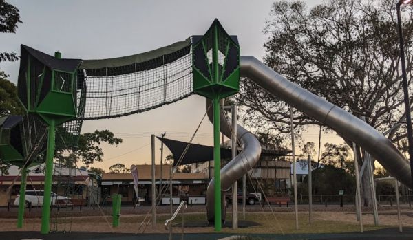
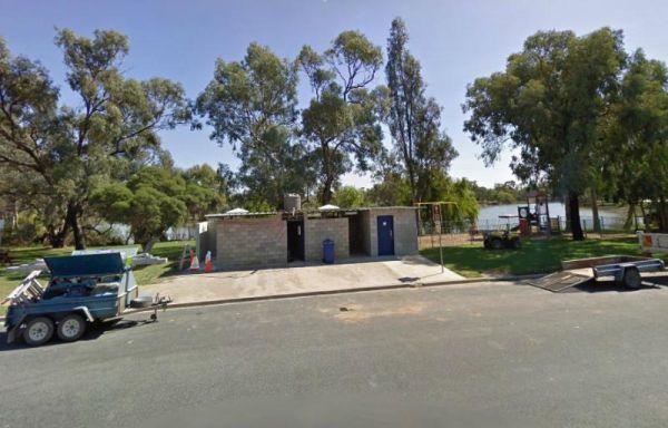
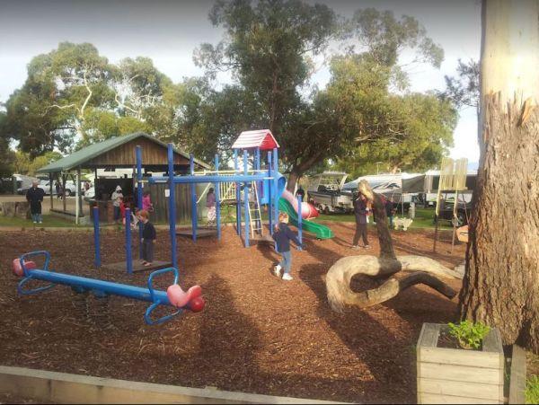
Alf Larson Lions Park
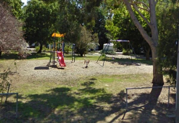
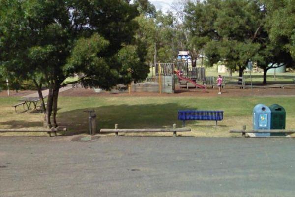
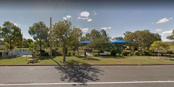
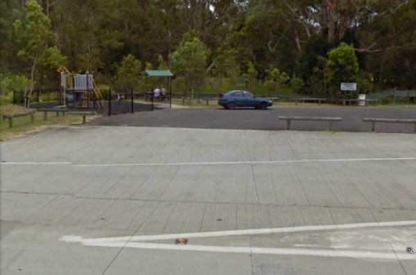
From the Alf Larson Lions Park has an amazing playground for kids and dog friendly with a takeaway & convenience store over the road. Access to the Dump point is via the car park opposite Dougall Street GPS -24.327585, 151.561173 Be sure to pop over t ...
Read More...
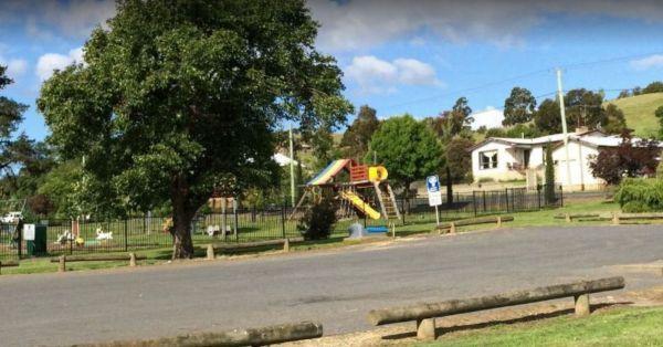
Anderson VC Rest Area
Entrance to the Anderson VC Rest Area Anderson VC Rest Area location map
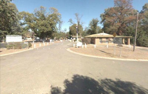
Entrance to the Anglesea Beachfront Family Caravan Park Anglesea Beachfront Family Caravan Park location map
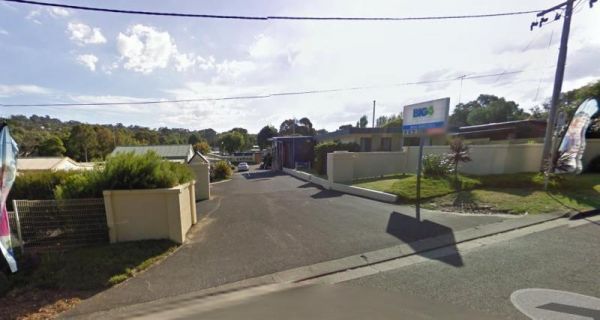
Entrance to the Anglesea Holiday Park BIG4 Anglesea Holiday Park BIG4 location map
The Ardlethan Rest Area has long drop toilets, picnic tables and rubbish bins. You will hear some road noise through the night from the Newell Highway. This rest spot straddles both sides of the Highway and it's popular with truck drivers.
Entrance to th ...
Read More...
Entrance to the Armidale Tourist Park Armidale Tourist Park location map
Ascot Holiday Park BIG4
Entrance to the Ascot Holiday Park BIG4 Ascot Holiday Park BIG4 location map
The Baden Park Rest Area has plenty of parking spaces, long drop toilet, wood fired bbq, undercover picnic table with rubbish bins and tank water. There's really not a lot to do here, apart from taking a break from driving, and contemplate how hard it was ...
Read More...
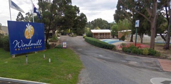
Entrance to the Ballarat Windmill Holiday Park BIG4 Ballarat Windmill Holiday Park BIG4 location map
Entrance to the Barham Caravan & Tourist Park. Barham Caravan & Tourist Park location map
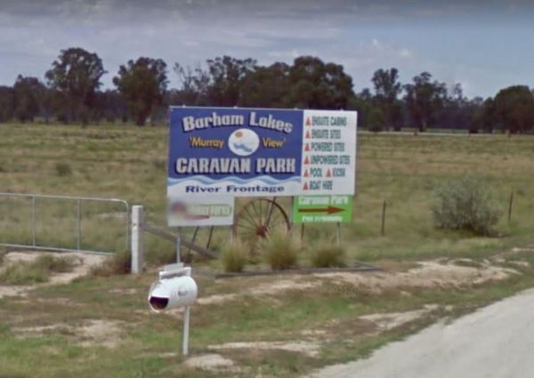
Entrance to the Barham Lakes Caravan Park Barham Lakes Caravan Park location map
Barossa Reservoir Whispering Wall
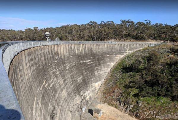
You will find the Barossa Reservoir Whispering Wall (Dam wall) was built between 1899 and 1903 its almost a perfect acoustic wall, with sound travelling along its full length using your normal voice levels. Free Entry
Entrance to the Barossa Reservoir Wh ...
Read More...
The Barraba Lions Park Rest Area is a credit to the Lions and Shire council. This is pleasant little area adjacent the main road, offering a bit of shade and covered picnic tables, bbqs and long drop toilets.
Entrance to the Barraba Lions Park Rest Area ...
Read More...
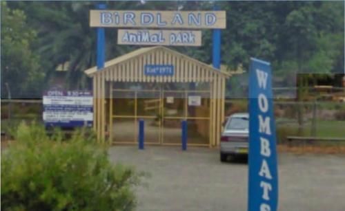
Batemans Bay - Birdland Animal Park
Entrance to the Batemans Bay - Birdland Animal Park Batemans Bay - Birdland Animal Park location map
Baxter Rest Area 24 Hour Limit
The Baxter Rest Area has public toilets, and a black water dump point, picnic tables, rubbish bins, and lots of level ground to put your caravan on. This site is off the Eyre Highway and set well back from the main road, with a few small trees offering so ...
Read More...
The Beasley River Rest Area has a public toilet, fire places, picnic tables and some small tree for shade. It's is set back a few hundred metres from the Nanutarra Wittenoom Road and runs parallel with it for a few kilometers, use the GPS coordinate below ...
Read More...
At the Benaraby Public Campgrounds there are cold showers available, tap water, a public toilet, picnic tables, bbqs, some rubbish bins and you can get phone reception here.
Entrance to the Benaraby Public Campgrounds
Boyne River Rest Area location ma ...
Read More...
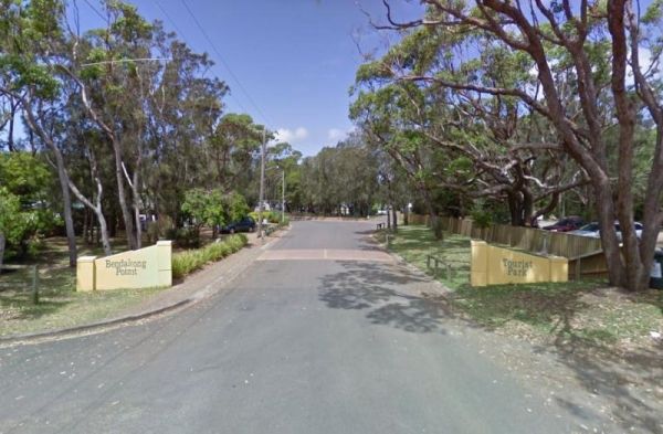
Entrance to the Holiday Haven Bendalong Holiday Haven Bendalong location map
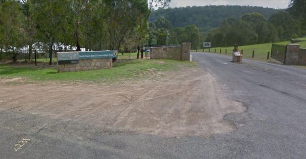
Bents Basin Campground has nice open areas, lots of areas to setup a tent, caravan, camper trailer or for a day visit. Lots of areas to choose a campsite, there are fire pits, clean toilets with hot showers too. The Nepean River is close by if you want to ...
Read More...
The Big Spring Creek Rest Area is a good overnight location to stop prior to entering into the Bungles, so this place can get pretty crowded at times. There are Public Long Drop Toilets, undercover picnic tables, and bbq facilities and some trees for shad ...
Read More...
Birdcage River Reserve Rest Area
The Birdcage River Reserve Rest Area has lots of room for a caravan and campers covers both sides of the road and is a large area with access to the Murrumbidgee River and plenty of places to rest for an hour or two or try to catch a fish. There are compo ...
Read More...
The Black Stump Mundubbera Rest Area is a nicely set up rest area, it has flushing toilets, good water, internet, a free camp kitchen with plenty of tables, seats and a children's playground.
Entrance to the Black Stump Mundubbera Rest Area
Black Stum ...
Read More...
The Blandford Rest Area has a public toilet block, undercover picnic tables and rubbish bins, plus there are fixed BBQ fireplaces scattered around also. The road is a bit on the tight side for large rigs, so you might want to check it out first before com ...
Read More...
Blanket Bay Camping Area campsites are more suited to Vehicle based camping and small camper trailers. Water tends to be a bit scarce, so it is better to bring your own.
No Petrol Generators permitted.
Take your Rubbish away with you.
The Blanket B ...
Read More...
Note: The hut interior has only an open fireplace and picnic table, so you will need to bring all your supplies with you. To stay at the Blue Range Hut Recreation area, Bookings are essential, as you will not be able to get inside the locked gate unless y ...
Read More...
The Boggabri South Rest Area is just off the Kamilaroi Highway, with room to turn and park your caravan. There is an undercover picnic table, tank water, rubbish bins and public toilets with wheelchair access located here.
If your visiting the Boggabri S ...
Read More...
Bohena Creek Rest Area
Bohena Creek Rest Area is a large asphalted and slightly elevated spot with plenty of room to park all sized caravans and motorhomes. There are trees running alongside the rest area to park under with public toilets offering wheelchair access and a few ru ...
Read More...
The Boolooroo Rest Area is next to the Gydir River so you might be able to catch dinner here. There is a public toilet and undercover picnic tables and a few rubbish bins, with plenty of room to park quite a few caravans.
From the Boolooroo Rest Area you ...
Read More...
Entrance to the Boort Lakes Holiday Park Boort Lakes Holiday Park location map
The Bower Rest Area is located next to tennis courts and town hall. A public toilet is onsite and some tank water. Entrance to the Bower Rest Area Bower Rest Area location map
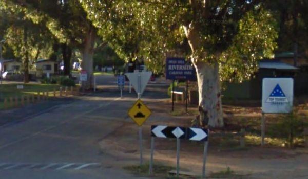
The Bright Riverside Holiday Park is located on right the banks of the Ovens River, with plenty of poewed and unpowered sites with riverfront views, the only drawback is it close proximity to HT powerlines buzzing overhead.
Entrance to the Bright Riversi ...
Read More...
Brooms Head Caravan Park
Entrance to the Brooms Head Caravan Park Brooms Head Caravan Park location map
Browns Flat Rest Area Southbound with plenty of parking for both light and heavy vehicles. There are flushing public toilets with wheelchair access, covered picnic tables and rubbish bins. The stop is a large area with plenty of room for large caravans mo ...
Read More...
The Burkett Road Rest Area has no shade trees, a public toilet, rubbish bins, undercover picnic table with an information board, all located on a large gravel area just off the North West Coastal Highway with room to park all sized rigs. There is
Entranc ...
Read More...
Burracoppin Centenary Park
The Burracoppin Centenary Park has flushing public toilets, some shade trees, undercover picnic tables, bbqs, water taps and just across from the Tavern where you can grab a cold drink to help wash away the dust. This park is on the corner of Great Easter ...
Read More...
Burrill Lake Tourist Park
Entrance to the Burrill Lake Tourist Park Burrill Lake Tourist Park location map
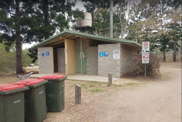
Calliope River Rest Area 48 Hour Limit
The Calliope River Rest Area has spacious camping areas on both sides, with the opportunity to sleep the night next to the Calliope River. There are public drop toilets, fireplaces and fishing and it is a popular spot to free camp.
Be Aware: Crocodiles a ...
Read More...
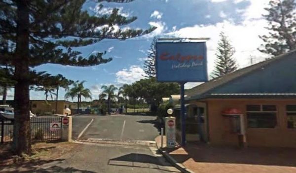
Entrance to the Calypso Holiday Park Calypso Holiday Park location map
Entrance to Camp Crusty Eldorado Camp Crusty Eldorado location Map
Canberra - National Zoo & Aquarium
Entrance to the Canberra - National Zoo & Aquarium Canberra - National Zoo & Aquarium location map
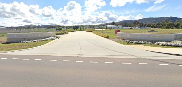
Entrance to the Canberra Park Canberra Park location map
The Candelo Rest Area has a Sunday Market and public toilet close to a children's playground that's worth visiting, plus a good general store and café directly opposite so you can easily restock your pantry, plus a public phone-box.
Entrance to the Cande ...
Read More...
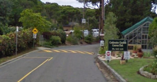
Castlemaine Gardens Caravan Park
Entrance to the Castlemaine Gardens Caravan Park Castlemaine Gardens Caravan Park location map
The Casuarina Sands Reserve is a really great place to swim in freshwater then have a bbq, and undercover picnic tables, then use the public toilets. This picnic area is located on the banks of the mighty Murrumbidgee River.
Entrance to the Casuarina San ...
Read More...
Chiltern Park Rest Area has a short walk to some historic Gold diggings and an undercover bbq, picnic tables and public toilet, with plenty of room to park your caravan.
Entrance to the Chiltern - Ironbark Rest Area
Chiltern - Ironbark Rest Area locat ...
Read More...
If stopping at the Chowne VC Memorial Rest Area it's worth your time to read as to whom this site is named after, and understand how a brave man died for his country. This rest spot has a public toilet, tank water, some undercover picnic tables and a few ...
Read More...
Entrance to the Clunes Caravan Park Clunes Caravan Park location map
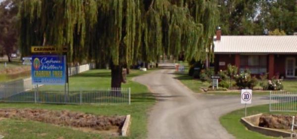
Entrance to the Cobram Willows Caravan Park Cobram Willows Caravan Park location map
Collendina Caravan Park
The Collendina Caravan Park is close to the beach, and has a full size basketball court and footy oval to keep the kids active. Entrance to the Collendina Caravan Park Collendina Caravan Park location map
The Coonalpyn Soldiers Memorial Caravan Park is an older style park, but everything thing you need is available here, and very reasonably priced.
Entrance to the Coonalpyn Soldiers Memorial Caravan Park
Coonalpyn Soldiers Memorial Caravan Park locatio ...
Read More...
The Coraki Riverside Caravan Park is close to shops and right on the Richmond river. Great for bike rides, fishing, kayaking, boats etc. There is also an off leash dog area
The Coraki Art Festival - October each year
Entrance to the Coraki Riverside ...
Read More...
Coronation Beach Campground
The Coronation Beach Campground is a lovely little spot with drop toilets, shower cubicles, covered eating areas, rubbish bins and a small playground. There is a protected beach with outer reef, fishing, diving and snorkelling are pretty good here.
This ...
Read More...
The Cotter Campground is located on the banks of the Cotter River with access to fishing, swimming and quite a bit of wildlife including emus and kangaroos, and there are walking tracks available. This campsite has bbs, fireplaces, potable water, hot show ...
Read More...
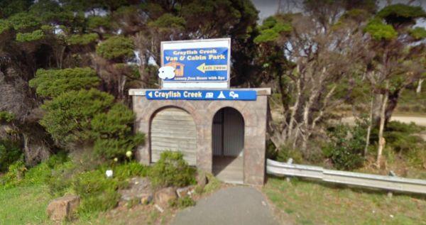
Crayfish Creek Van and Cabin Park
The Crayfish Creek Van and Cabin Park has good facilities and they have an after hour phone number available plus an on site manager 24 hours a day. Entrance to the Crayfish Creek Van and Cabin Park Crayfish Creek Van and Cabin Park location map
Crystal Brook Holiday Centre
Entrance to the Crystal Brook Holiday Centre Crystal Brook Holiday Centre location map
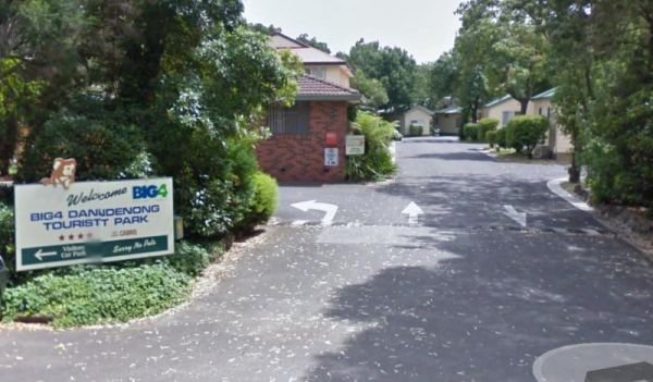
Dandenong Tourist Park Big4
Entrance to the Dandenong Tourist Park Big4 Dandenong Tourist Park Big4 location map
Dando's Camping Area
The Dando's Camping Area is well set up campsite with lots of camping areas and relatively easy access by car. The river is very close and easily accessible. There's 2 clean drop toilets, and some fire pits with bbq swing plates. The Dando's Camping Area ...
Read More...
Daylesford Victoria Caravan Park
Entrance to the Daylesford Victoria Caravan Park Daylesford Victoria Caravan Park location map
The De Grey River Rest Area is next to the river, with amazing pools of water along river. This is a very large and popular stopping place for caravanners, there are flushing public toilets with a black water dump point and some rubbish bins. You can take ...
Read More...
The Delegate River Camping Area and is a beautiful little campground with approximately 6 suitable areas to camp at. There are fire pits with bbq plates, a long drop toilet. As the name suggests, this camping ground is next to the Delegate River, so don't ...
Read More...
The Derby Park is set well back from the main road, with a river right next to your spot you have pulled over at. If you have a bike with you, ride over to Briseis Lake Entrance to the Derby Park Derby Park location map
Derrinallum Recreation Reserve Rest Area 24 Hour Limit
The Derrinallum Recreation Reserve Rest Area is a free camp run by the local council, so drop some money in town and make a donation if you use this spot.
Entrance to the Derrinallum Recreation Reserve Rest Area
Derrinallum Recreation Reserve Rest Are ...
Read More...
The Dinjerra Road Rest Area has plenty of room to park all sized rigs, with public toilets that have hand wash basins and wheelchair access, picnic tables, rubbish bins, fireplaces with bbq facilities and a children's playground. This rest spot is set a s ...
Read More...
The Donald Lakeside Caravan Park is a beautiful lakeside area with large sites and very clean amenities. There is an honesty box, and the caretaker drops in daily to collect for powered sites.
Entrance to the Donald Lakeside Caravan Park
Donald Lakesi ...
Read More...
Doon Reserve Caravan Park
Doon Reserve is a great place to come with your caravan or motorhome & to camp as a family, couple or individual..
You’ll enjoy great access to the Yarra as well as the beautiful surrounds including mountain views.
With Yarra Junction just minutes a ...
Read More...
If your stopping at the Dululu Rest Area pop in to the Dululu Hotel for showers and power if needed, walk over to the Dee River and cast a line in to try and catch lunch. Entrance to the Dululu Rest Area Dululu Rest Area location map
Eagle Point Caravan Park
Entrance to the Eagle Point Caravan Park Eagle Point Caravan Park location map
Echo Point Information Centre Open Hours:Weekdays 10.00am to 5.00pmSaturday 10.00am to 4.00pmSunday Closed Entrance to the Echo Point Information Centre Echo Point Information Centre location map
Entrance to the NRMA Echuca Holiday Park NRMA Echuca Holiday Park location map
The Edaggee Rest Area is a large gravel area to park your caravan, it has a flushing public toilet with a black water dump point, undercover picnic tables, rubbish bins, but no shade. This is a popular place, so you will have quite a few fellow travellers ...
Read More...
Entrance to the Edenhope Lakeside Tourist Park Edenhope Lakeside Tourist Park location map
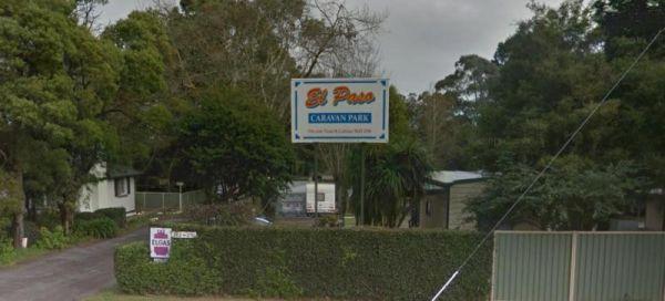
Entrance to the El-Paso Caravan Park El-Paso Caravan Park location map
Emmdale Roadhouse Camping Area is an oasis approx 100 k's east of Wilcannia, it's a good place to stop for a break. It's a roadhouse with camping and showers and toilets.
Fuel prices are very competitive
Entrance to the Emmdale Roadhouse Camping Area ...
Read More...
FigTree Holiday Village
Entrance to the FigTree Holiday Village FigTree Holiday Village location map
Firth Park Camping Area
The Firth Park Camping Area has some undercover Picnic Tables, there is also a small lake where you can try to catch a fish or two. Not many places for caravans, but plenty of room for tents, there are 4 long drop toilets, fireplaces with swivel bbq plate ...
Read More...
Frank Potts Reserve
The Frank Potts Reserve has quite a few places amongst the trees to pull into and have a picnic and a few hundred metres from a wine tasting centre. Entrance to the Frank Potts Reserve Frank Potts Reserve location map
The Fraser Range Rest Area is an excellent overnight stop, with plenty of shaded and level camp spots to park your caravan, or motorhome. There is a long drop toilet with a black water dump point, undercover picnic tables, and rubbish bins.
Entrance to t ...
Read More...
Freds Landing Rest Area
From the Freds Landing Rest Area you can launch your Kayak and go for a paddle up or down the Murray River, or try your hand at catching dinner. Entrance to the Freds Landing Rest Area Freds Landing Rest Area location map
The Gascoyne River South Branch is a large gravel parking areas with some shade. There are long drop toilets with wheelchair access, some rubbish bins, a blackwater dump point, undercover picnic tables and fire pits. There is also provision for wheelchair ...
Read More...
Entrance to the Geelong Discovery Park Geelong Discovery Park location map
The Gillenbah South Rest Area is set back and running parallel with the Newell Highway. There are plenty of places to park your caravan under shady trees, public toilets with wheelchair access, picnic tables and some rubbish bins.
Entrance to the Gillenb ...
Read More...
The Gisborne Northbound Rest Area is a popular Truck stop with plenty of parking for large Caravans and RV's. Entrance to the Gisborne Northbound Rest Area Gisborne Northbound Rest Area location map
Glen Road Recreation Reserve Rest Area
Entrance to the Glen Road Recreation Reserve Rest Area Glen Road Recreation Reserve Rest Area location map
Grantville - Picnic BBQ Area
Entrance to the Grantville - Picnic BBQ Area Grantville - Picnic BBQ Area location map
Grass Trees Rest Area Northbound Entrance to the Grass Trees Rest Area Northbound Grass Trees Rest Area Northbound location map
Entrance to the Great Aussie Holiday Park Great Aussie Holiday Park location map
When visiting the Greens Point Camping Area you can pop over to the historic old township of Sofala, it's well worth the short drive from your campsite. Greens Point Camping Area location map
Gum Bend Lake Camping Area 14 Day Limit
The Gum Bend Lake Camping Area has hot showers, rubbish bins, undercover picnic tables and bbqs with plenty of camping places to pick from, fishing, photographic opportunities everywhere and it's about 5km from the town of Condobolin in Central NSW. The G ...
Read More...
Entrance to the Gunalda Rest Area Gunalda Rest Area location map
The Gunbower Park Rest Area is on the banks of the Gunbower Creek.So why not take a stroll and check it out, or drop your kayak in for a better look.There is a children's playground right next to the toilets to keep the kids amused.
Entrance to the Gunbo ...
Read More...
The Hamilton Rest Area is opposite the Bicentennial Park, is a beautiful place with apple and pear trees, public toilet and showers, laundry, dump point and potable water. where you'll find a public toilet, undercover picnic tables and rubbish bins. Or yo ...
Read More...
Heathcote Queen Meadow Caravan Park Entrance to the Heathcote Queen Meadow Caravan Park <h3>Heathcote Queen Meadow Caravan Park location map
The Henry Angel Flat Camping Area is a nice spot to enjoy a week or two, fishing swimming photography and short walks all on your doorstep. Entrance to the Henry Angel Flat Camping Area Henry Angel Flat Camping Area location map
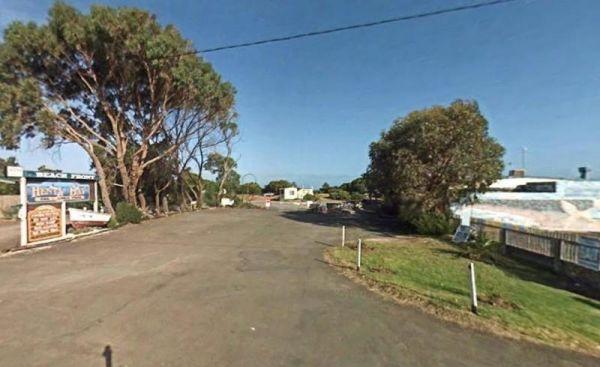
Entrance to the Henty Bay Beach Front Van & Cabin Park Henty Bay Beach Front Van & Cabin Park location map
Entrance to the the High Country Holiday Par.
The Hillston Rest Area is set on an asphalt strip running alongside the Kidman Way, it's a well known truck stop. There is a public toilet ,picnic tables and some rubbish bins. Entrance to the Hillston Rest Area Hillston Rest Area location map
The Hobart Beach campground has drop toilets, hot showers, wood fired bbq on each campsite. Close to lake and beach, with lots of wildlife, including goannas, wallabies, echidnas and possums.
For the fishermen, you can catch prawns at night
Note: The pa ...
Read More...
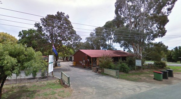
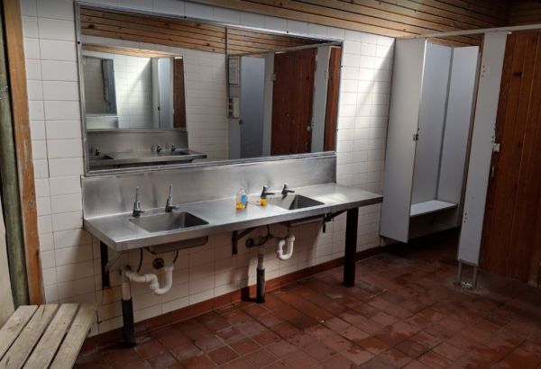
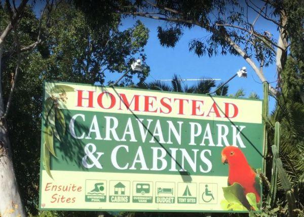
The Homestead Caravan Park and Cabins is an older style caravan park situated on 7 acres. They have a camp kitchen, laundry facilities, covered bbq area, and hey have added a new salt water swimming pool and games area, there are also Powered Ensuite Site ...
Read More...
Entrance to the Horsham Riverside Caravan Park Horsham Riverside Caravan Park location map
The House Creek Bridge Rest Area has public toilets with black water dump points, picnic tables, rubbish bins and some shade trees to park your caravan under. The ground is fairly level for camping, and the main camp area approximately one hundred metres ...
Read More...
Entrance to the Huskisson White Sands Holiday Park Huskisson White Sands Holiday Park location map
The Ilford Rest Area is just off the main highway, not a lot to do here, apart from rest and refresh, before heading on your way. There are public toilets, picnic tables, rubbish bins and tank water with room to park your caravan under a few shade trees. ...
Read More...
The Illabo Rest Area is located opposite the Illabo Pub, the rest area has a public toilet undercover picnic tables, rubbish bins and plenty of room to park your caravan. Entrance to the Illabo Rest Area Illabo Rest Area location map
Entrance to the Iluka on Freycinet Holiday Park Big4 Iluka on Freycinet Holiday Park Big4 location map
Entrance to the Inverloch Foreshore Camping Inverloch Foreshore Camping location map
Entrance to the J.Sloane Park Rest Area J.Sloane Park Rest Area location map
Jacka Park Rest Area
Entrance to the Jacka Park Rest Area
Jacka Park Rest Area location map
Wedderburn is a rural town located in Victoria, Australia on the Calder Highway, 214 kilometres north of Victoria's capital city, Melbourne. At the 2006 census, Wedderburn ...
Read More...
James Norman Hedges Park Rest Area
Entrance to the James Norman Hedges Park Rest Area James Norman Hedges Park Rest Area location map
Camping at the Jericho Showgrounds has nice level spots with power and water and showers with fees payable via Honesty Box. Sites with Power and Water are limited, so be early if you need them. Hot Showers are also available.
Entrance to the Jericho Show ...
Read More...
Entrance to the Jervis Bay Caravan Park Jervis Bay Caravan Park location map
The Jimmy Bullocks Camping Area is close to the Big River that flows around a bend, giving you plenty of river to explore, without walking too far from your tent. Jimmy Bullocks Camping Area location map
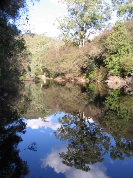
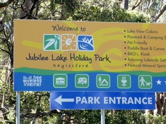
Jubilee Lake Caravan Park
Entrance to the Jubilee Lake Caravan Park Jubilee Lake Caravan Park location map
Kangaroo Flat Park Area
Entrance to the Kangaroo Flat Park Area Kangaroo Flat Park Area location map
The Keith Park Rest Area is a rather large park that spans both sides of the road, with plenty of picnic tables to chooses from. Entrance to the Keith Park Rest Area Keith Park Rest Area location map
Kentish Park Camping Area - Permanetly Closed
NOTE: Kentish Campground has Permanently closed, there are no longer toilet facilities at this site. Parks & Wildlife Tasmania have taken over.
The Kentish Park Camping Area has a boat ramp is located just below the toilet block area, there are plent ...
Read More...
Entrance to the Kerang Caravan & Tourist Park Kerang Caravan & Tourist Park location map
If you intend to stop at the Kiama North Rest Area, it's worth taking a photo of the recently restored 1890's Police Station and Courthouse, set isolated against the mountains.
Entrance to the Kiama North Rest Area
Kiama North Rest Area location map ...
Read More...
The Kibby VC Rest Area, has plenty of room to park, long drop toilets with hand basin, undercover picnic tables, rubbish bins and tank water.
You will also see a couple of old deserted buildings in the area, that might warrant taking a photo of.
Entranc ...
Read More...
The King River Rest Area is close to the road so expect some noise, two large tanks with some potable water is onsite, undercover picnic tables and fireplaces available, and for the more adventurous, you can take a short walk to Leech Lagoon.
Entrance to ...
Read More...
Korumburra Tourist Park
Entrance to the Korumburra Tourist Park Korumburra Tourist Park location map
Entrance to the Kyabram Western Gums Tourist Park Kyabram Western Gums Tourist Park location map
The Lake Benanee Rest Area has great views of lake and birdlife and sunsets are nice. This is a gravel area with a public toilet with wheelchair access, a few picnic tables, rubbish bins and plenty of spots to park your caravan.
Entrance to the Lake Bena ...
Read More...
Lake Boga Caravan Park Entrance to the Lake Boga Caravan Park Lake Boga Caravan Park location map
The Lake Boga Rest Area lake is sometimes subject to drought condition, so NO Permanent WATER. Entrance to the Lake Boga Rest Area Lake Boga Rest Area location map
Entrance to the Lake Hume - Discovery Parks Lake Hume - Discovery Parks location map
Lake Towerrinning Lakeside Camping
Entrance to the Lake Towerrinning Lakeside Camping Lake Towerrinning Lakeside Camping location map
Entrance to the Lake Weeroona Park Rest Area Lake Weeroona Park Rest Area location map
Lake Wyangan Picnic Area 72 Hour Limit
When staying at the Lake Wyangan Picnic Area, you will find some camping spots for your caravan close to the lake with some trees for shade. There are some picnic tables, bbqs and flushing public toilets with cold showers, plus the occasional got and peac ...
Read More...
Lakes & Craters Holiday Park
Entrance to the Lakes & Craters Holiday Park Lakes & Craters Holiday Park location map
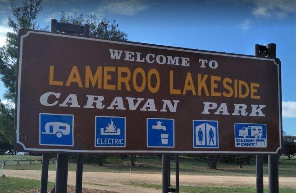
Entrance to the Lameroo Lakeside Caravan Park Lameroo Lakeside Caravan Park location map
Lightning Creek Camping Area
The Lightning Creek Camping Area is a large level and well grassed area with beautiful mountain scenery to set up camp in. There is plenty of room for caravans, clean long drop toilets with wheelchair access, bbqs, picnic tables, large grassy areas with s ...
Read More...
Lightning Ridge Turnoff Rest Area
Entrance to the Lightning Ridge Turnoff Rest Area Lightning Ridge Turnoff Rest Area location map
Lilydale Pine Hill Caravan Park is at the gateway to Victoria’s famous Yarra Valley and the Dandenong Ranges.
We have a range of modern & affordable accommodation in Lilydale, Victoria. Whether you need a Cabin or a Site for your RV’s, caravan, larg ...
Read More...
Little Billabong Rest Area
Little Billabong Rest Area has some historical information boards, nice view across farm paddocks to the hills. There is plenty of room to park your caravan, public toilets, undercover seating and rubbish bins, but no shade for your vehicle.
Entrance to ...
Read More...
Entrance to the Little Desert Nature Lodge Little Desert Nature Lodge location map
The Long Point Campground has plenty of room for all sized caravans and motorhomes. This campsite has some picnic tables, and a public toilet, please remember to buy your camping ticket at the gate entrance.
Entrance to the Long Point Campground
Long ...
Read More...
MacFarlane Rest Area
At the MacFarlane Rest Area there is not much to do here, other than take a break from driving, and make a cuppa. The scenery is pretty much the same in all directions. (Rather flat)
Entrance to the MacFarlane Rest Area
MacFarlane Rest Area location m ...
Read More...
Magorra Caravan Park
Entrance to the Magorra Caravan Park Magorra Caravan Park location map
Manangatang Rest Area
The Manangatang Rest Area is opposite the a Manangatang hotel and set on a large gravel with toilets and plenty of room to park your rig. Note a donation is asked if you use the power and toilets. These small towns are struggling, so do help them out, and ...
Read More...
Mann River Caravan Park
Entrance to the Mann River Caravan Park Mann River Caravan Park location map
Entrance to the Maranup Ford Caravan Park Maranup Ford Caravan Park location map
Marathon Rest Area if you don't like this place to stop, then your in for another 48 kilometre drive to the next one. So take a short break from driving, then continue on to the next one, at either, Richmond or Hughenden, depending which upon direction yo ...
Read More...
Marengo Holiday Park
Entrance to the Marengo Holiday Park Marengo Holiday Park location map
Marr Creek Rest Area
The Marr Creek Rest Area has the makings of a wonderful overnight spot, with the Mann River on your doorstep. There are undercover picnic tables, wood fired bbqs, rubbish bins and tank water here.
Entrance to the Marr Creek Rest Area
Marr Creek Rest A ...
Read More...
Marsden Rest Area Northbound
Entrance to the Marsden Rest Area Northbound Marsden Rest Area Northbound location map
Marsden Rest Area Southbound
Entrance to the Marsden Rest Area Southbound Marsden Rest Area Southbound location map
Maryborough Caravan Park
Entrance to the Maryborough Caravan Park Maryborough Caravan Park location map
McDonalds Hole Road Rest Area
The McDonalds Hole Road Rest Area is set back a short way from the main road with a few picnic tablets spread around with a nice shaded area. The rest area is on an elevated gravel section, running next to the Castlereagh Highway
Entrance to the McDonald ...
Read More...
The McNamara Park Rest Area is a fairly large campground, surrounded by bush picnic tables, rubbish bins and flushing toilets. This park is suitable for caravans, campers, motorhomes as well as tents and is located on the banks of Wollombi Brook, with a t ...
Read More...
The Meadow Glen Rest Area is set a short distance away from the main road in amongst some trees with a public toilet, picnic table and fixed fire place, water is also available.
Entrance to the Meadow Glen Rest Area
Meadow Glen Rest Area location map ...
Read More...
Entrance to the Meilman East Truck Parking Area Meilman East Truck Parking Area location map
The Mendooran Free Camp is a picturesque area on the river and close to township, beautiful setting with plenty of space for caravans and mobile homes. There are undercover picnic tables, flushing toilets, cold showers, and town water tap behind amenities ...
Read More...
Entrance to the Mick Tuck Riverside Reserve Mick Tuck Riverside Reserve location map
At the Middle Creek Camping Area, you can take a stroll along the Cave Walking Track, but be warned, it's rather steep. Entrance to the Middle Creek Camping Area Middle Creek Camping Area location map
The Millicent AH&P Society Showground RV Camping is the latest addition to friendly tourist accommodation in Millicent. We are the gateway to the Limestone Coast and the best route to the Coonawarra Wine Region. The site is run by volunteers from the ...
Read More...
Entrance to the Millicent Lakeside Caravan Park Millicent Lakeside Caravan Park location map
Entrance to the Millicent Lakeside Caravan Park Millicent Lakeside Caravan Park location map
The Mokoan Rest Area (South Bound) has electric bbqs, public toilets with hand washing facilities, picnic tables, plus plenty of room to park all sized rigs. Entrance to the Mokoan Rest Area (South Bound) Mokoan Rest Area (South Bound) location map
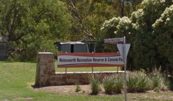
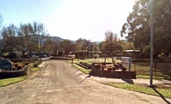
Molesworth Reserve Camping Ground
Entrance to the Molesworth Reserve Camping Ground Molesworth Reserve Camping Ground location map
Entrance to the Mornington Peninsula Holiday Park BIG4 Mornington Peninsula Holiday Park BIG4 location map
Entrance to the Mount Beauty Holiday Centre and Caravan Park Mount Beauty Holiday Centre and Caravan Park location map
The Mountain Dam Camping Area has a boat ramp so you can launch your kayak with ease. There is a drop toilet and a few fire pits with picnic tables and this campsite has plenty of campsites to choose from.
Mountain Dam Camping Area
Mountain Dam Campin ...
Read More...
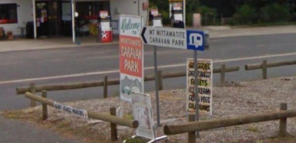
Entrance to the Mt Mittamatite Caravan Park Mt Mittamatite Caravan Park location map
Entrance to the Mt Robinson Rest Area Mt Robinson Rest Area location map
Entrance to the Mundaring Visitors Information Centre Mundaring Visitors Information Centre location map
The Mundoonan Rest Area is an extremely well appointed rest area and accessible to northbound traffic on the Hume Highway. There are modern public toilets, undercover parking for cars, undercover picnic tables and free electric bbqs rubbish bins and emerg ...
Read More...
Murray Falls State Forest Camping Area
From the Murray Falls State Forest Camping Area you can take a short stroll to the falls or go for a swim in one of the water holes in the creek.
Entrance to the Murray Falls State Forest Camping Area
Murray Falls State Forest Camping Area location ma ...
Read More...
Myrtleford Holiday Park
Entrance to the Myrtleford Holiday Park Myrtleford Holiday Park location map
Entrance to the Newmans Road Rest Area Northbound Newmans Road Rest Area Northbound location map
The Newmans Road Rest Area Southbound has an emergency phone is located at this spot along with a few rubbish bins. Entrance to the Newmans Road Rest Area Southbound Newmans Road Rest Area Southbound location map
Entrance to the Nicholson River Caravan Park Nicholson River Caravan Park location map
Entrance to the Nitmiluk Gorge Caravan Park Nitmiluk Gorge Caravan Park Location Map
The NRMA Bright Holiday Park is located on the banks of Morse’s Creek which flows into the Ovens River all within easy walking distance from your campsite. Entrance to the NRMA Bright Holiday Park NRMA Bright Holiday Park location map
Entrance to the NRMA Halls Gap Holiday Park BIG4 NRMA Halls Gap Holiday Park BIG4 location map
Entrance to the Nyngan Riverside Tourist Park Nyngan Riverside Tourist Park location map
Oasis Tourist Park
Entrance to the Oasis Tourist Park Oasis Tourist Park location map
Ocean Grove Holiday Park
Entrance to the Ocean Grove Holiday Park Ocean Grove Holiday Park location map
Oorindi Rest Area
The Oorindi Rest Area has undercover picnic tables, public toilets with wheelchair access. This a place to pull over if its getting late, as your next rest area is approximately 70 kilometres in either direction.
Entrance to the Oorindi Rest Area
Oori ...
Read More...
Otways Tourist Park
Entrance to the Otways Tourist Park Otways Tourist Park location map
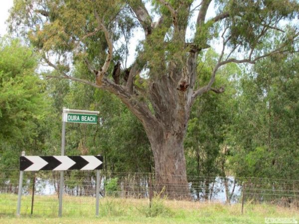
The Oura Beach Reserve is a huge area so you should always find a nice grassy site with access to the Murrumbidgee River on your doorstep, drop a line in or try out your Kayak and remember to take your camera.
Entrance to the Oura Beach Reserve
Oura B ...
Read More...
Entrance to the Ourimbah Exit Rest Area Ourimbah Exit Rest Area location map
Oxley's Crossing Rest Area
The Ourimbah Exit Rest Area is a popular spot, there is a public toilet, water taps, plus quite a few undercover picnic tables, and rubbish bins. Parking can be a bit tricky with caravans on public holidays, but you can drive through if you don't find a s ...
Read More...
The Paddys River Falls Camping Area is a nice quiet and not so rough bush camp, with hiking, swimming, fishing and fishing all within easy reach of your campsite.
Note: There is a 4 Week camping limit in place.
Entrance to the Paddys River Falls Camping ...
Read More...
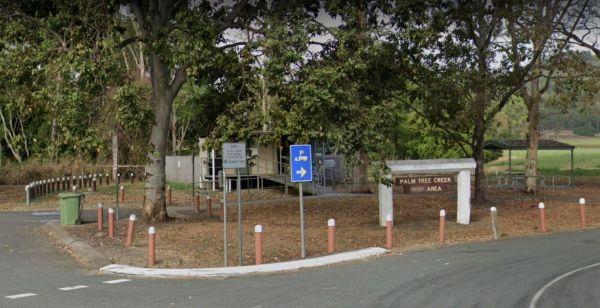
Entrance to the Palm Beach Creek Rest Area Palm Beach Creek Rest Area location map
Visiting the Perth Lions Park Rest Area might be a bit of a tight squeeze if you have a big rig and try to park in Little Mulgrave Street, as the end of the street is a court, and you might have trouble turning.
Entrance to the Perth Lions Park Rest Area ...
Read More...
Pinch River Camping Area
When stopping at the Pinch River Camping Area is split into two camping grounds on both sides of the Pinch River. This is a nice spot to stay along the Barry way. with some long drop toilets, picnic shelters and fire rings. The pinch river is a small cree ...
Read More...
The Pindari Dam Camping Area is utopia if you enjoy fishing and camping and has a boat ramp available if needed. There is plenty of shoreline fishing spots available, great place for a kayak and camera , undercover picnic tables, public long drop toilets, ...
Read More...
Entrance to the Pocock Park Rest Area Pocock Park Rest Area location amp
Point Lowly Camping Area
The Point Lowly Camping Area has it all, great views, good fishing, clean facilities its a credit to the Whyalla Council. As of 1 July 2013 a camping permit system was introduced at Point Lowly Camping Area.
Entrance to the Point Lowly Camping Area
Po ...
Read More...
Port Albert Seabank Caravan Park
Entrance to the Port Albert Seabank Caravan Park Port Albert Seabank Caravan Park location map
Entrance to the Portland Holiday Village Portland Holiday Village location map
The Private Jackson Park Gungal Rest Area is set back approximately 70 metres from Maitland Street, with a public toilet, some undercover picnic tables and rubbish bins. There is quite a bit of space to park your caravan and enjoy a break from driving.
E ...
Read More...
Entrance to the Quaama Rest Area Quaama Rest Area location map
Entrance to the RAC Cervantes Holiday Park RAC Cervantes Holiday Park location map
Red Cliffs Caravan Park
Entrance to the Red Cliffs Caravan Park Red Cliffs Caravan Park location map
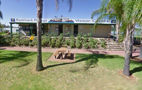
Renmark Paringa Visitor Information Centre
Facilities include:
Tourism information
Theatrette with interpretive displays
Souvenirs
Digital Signage
Internet access
Disabled access
Accommodation enquiries
Booking agents for events and River cruis ...
Read More...
From the Richmond Rest Area you can walk over to the lake and pop a line in and see what bites, take a quick paddle around the lake for some exercise, or simple take a walk and stretch your legs for a bit.
Entrance to the Richmond Rest Area
Richmond R ...
Read More...
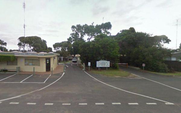
Riverview Family Caravan Park
Entrance to the Riverview Family Caravan Park Riverview Family Caravan Park location map
Entrance to the Robe River Rest Area Robe River Rest Area location map
Entrance to the Robinvale Riverside Caravan Park Robinvale Riverside Caravan Park location map
Rose Bay Park Rest Area 12 Hour Limit
The Rose Bay Park Rest Area is a lovely park with shady trees and good playground for kids, plus a skate ramp and Basketball hoops. There is also a public toilet, some undercover picnic tables, rubbish bins and free electric BBQ's . You can easliy walk ov ...
Read More...
Running Waters Camping Area
At the Running Waters Camping Area you just have to love the experience of camping beside the Snowy River. There is a long drop toilet and a couple of picnic tables and fireplaces with plenty of cut logs. There are plenty of things to capture within the c ...
Read More...
Entrance to the San Remo Holiday Park San Remo Holiday Park location map
The Sandside Rest Area is an overnight camp at roadside truck stop. There are composting toilet facilities with wheelchair access, undercover picnic tables and plenty of room for large caravans and motorhomes. The rest area is bit noisy from passing traff ...
Read More...
The Shadforth Reserve Rest Area offers no shade and is located at the corner of Millthorpe Road and Mitchell Highway. Lots of room to park your caravan while you take advantage of the public toilet, picnic tables and rubbish bins.
Entrance to the Shadfor ...
Read More...
Skenes Creek Beachfront Park
Entrance to the Skenes Creek Beachfront Park Skenes Creek Beachfront Park location map
Entrance to Skipworth Reserve Skipworth Reserve Location Map
Entrance to the South Australia - Northern Territory Border Rest Area South Australia - Northern Territory Border Rest Area location map
Entrance to the South Australia - Northern Territory Rest Area Location Map of the South Australia - Northern Territory Rest Area
Entrance to the Spring Creek Rest Area Spring Creek Rest Area location map
Spring Hill Rest Area
At the Spring Hill Rest Area you will find an undercover children’s playground, Undercover picnic tables, public toilet, tank water and rubbish bins. There is a normally dry creek-bed to explore, overall it's a nice spot to take a rest and refresh yoursel ...
Read More...
St Peters Pass Rest Area is a nice secluded rest stop, just north of Oatlands. Pass Creek runs behind the rest area, this is fairly level ground with an old stone shelter and picnic tables, public toilets and rubbish bins.
Entrance to the St Peters Pass ...
Read More...
Stanley Rest Area 24 Hour Limit
Entrance to the Stanley Rest Area Stanley Rest Area location map
Entrance to the Stratford Top Tourist Park Stratford Top Tourist Park location map
Entrance to the Big4 Swan Hill Riverside Caravan Park Big4 Swan Hill Riverside Caravan Park location map
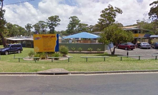
Entrance to the Swan Lake Holiday Park Swan Lake Holiday Park location map
Taronga Zoo is the city zoo of Sydney, New South Wales, Australia. Officially opened on 7 October 1916, it is located on the shores of Sydney Harbour in the suburb of Mosman.
Taronga Zoo is managed by the Zoological Parks Board of New South Wales under t ...
Read More...
Entrance to the Taggerty Holiday Park BIG4 Taggerty Holiday Park BIG4 location map
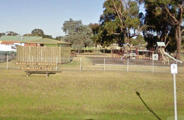
Entrance to the Tarpeena Margaret Medhurst Memorial Park Rest Area Tarpeena Margaret Medhurst Memorial Park Rest Area location map
Tarra Valley Caravan Park
Entrance to the Tarra Valley Caravan Park Tarra Valley Caravan Park location map
Taylor Creek Rest Area has a mobile-phone signal enhancer that enable your phone to access the network. Plenty of room to park with undercover picnic tables, wood fired bbqs, rubbish bins, tank water and public toilet making this a well equipped rest spot ...
Read More...
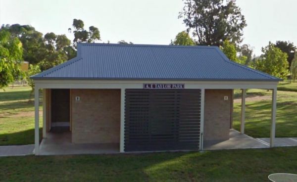
The Taylor Park Rest Area is a nice free overnighter with toilets and a pump out station for RV's. This spot is directly opposite the Commercial Hotel, drop in for a bite to eat while your stopping at the rest area.
Entrance to Taylor Park Rest Area ...
Read More...
Teddington Reservoir Camping Area
When at Teddington Reservoir Camping Area, is an absolutely beautiful spot with flushing toilets, some fire pits, and quite a few places to choose a campsite for a day or two, there's plenty of wildlife passing by. You can walk over and take a look at the ...
Read More...
Teds Beach Camping Area
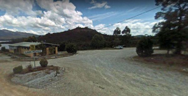
Teds Beach Camping Area has Free Electric BBQ, Boat Ramp, Great Views. Take an easy stroll along the walkway to get some great photos to remember this spot you visited on the Lake Pedder foreshore.
Entrance to the Teds Beach Camping Area
Teds Beach Ca ...
Read More...
The Telleraga Rest Area doesn't have much to see or do apart from a small pit stop before heading off to your next destination. Entrance to the Telleraga Rest Area Telleraga Rest Area location map
Take a short toilet break at the Thangool Memorial Park Rest Area, check out the military hardware on-site, then pop down the road to the pup for a cold drink, before heading off again on your adventure.
The entrance to the Thangool Memorial Park Rest Ar ...
Read More...
Entrance to the The Bert Dix Memorial Park The Bert Dix Memorial Park location map
The Neck Camping Area
The Neck Camping Area is run by Parks Tas, with beach access only a short distance away. Enjoy your surroundings and walk to the beach. Be sure to check out the boardwalk viewing platforms. Keep an eye open for penguins around dusk, as the inhabit burrows ...
Read More...
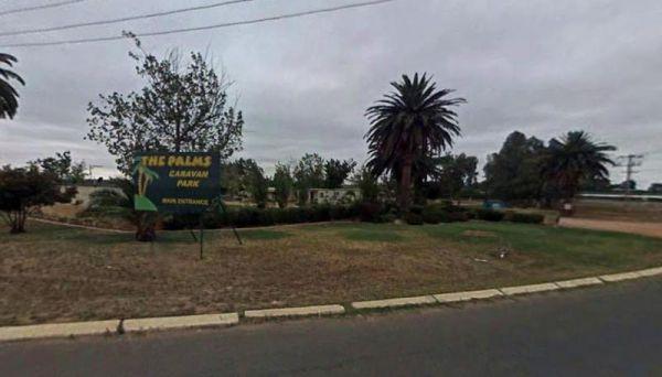
Entrance to the The Palms Caravan Park The Palms Caravan Park location map
Entrance to the Toora Tourist Park Toora Tourist Park location map
Tooraweenah Rest Area
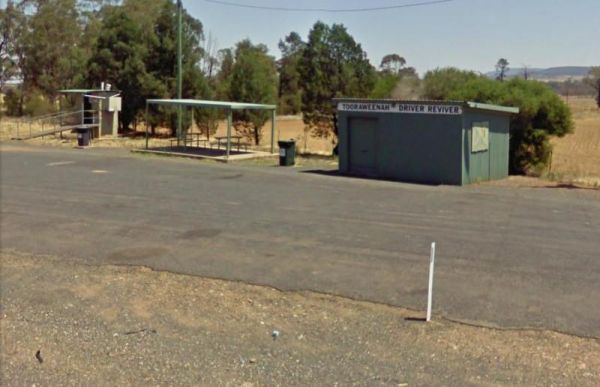
Tooraweenah Rest Area is a strip of asphalt with public toilets, undercover picnic tables and rubbish bins with nice views of the mountains in the distance. Entrance to the Tooraweenah Rest Area Tooraweenah Rest Area location map
Torquay Visitor Information Centre it's not easy for parking Caravans and Big Rigs, your best bet is to park on Beach Road, and walk over. Torquay Visitor Information Centre Torquay Visitor Information Centre location map
You will need Camping permits to stay at Tully Gorge National Park Camping grounds, they are available both online and at the park. We advise you book in advance to avoid disappointment. Generator use is permitted between 9.00 am and 12.00 noon and only i ...
Read More...
Entrance to the Tumblong Rest Area Tumblong Rest Area location map
Twin Dolphins Holiday Park has a nice swimming pool and camp kitchen, new amenities and spacious powered sites. It has lots of cycle paths that take you right to shops, bushland or the beach
Tuncurry Chinese Restaurant, 110 Manning Street
Royal India ...
Read More...
If stopping at the Tyagarah Rest Area flushing style composting toilets and tank water. If your lucky you will see the Byron Bay Gliding Club use the runway which is at a 90 degree angle to this spot, on the other side of the Hwy. You might get to see a f ...
Read More...
Entrance to the Venus Bay Caravan Park Venus Bay Caravan Park location map
Victoria - South Australia Border Rest Area
Entrance to the Victoria - South Australia Border Rest Area Victoria - South Australia Border Rest Area location map
Vietnam Memorial Rest Area - Muswellbrook North
At the Vietnam Memorial Rest Area - Muswellbrook North some uncaring Campers are doing the wrong thing by all of us, and are causing damage to these free facilities provided by the local RSL, and if it continues, we are possibly all going to lose the abil ...
Read More...
The Waanyarra Camping Grounds is situated in the Waanyarra/Dunolly state forest. There are long drop toilets, a shade hut with seating, and tank water but not suitable for drinking. The campground is quite large and is accessible for all vehicles includin ...
Read More...
Walkerville Foreshore Camping Reserve
Entrance to the Walkerville Foreshore Camping Reserve Walkerville Foreshore Camping Reserve location map
From the Wallacetown Rest Area you can walk over to the shop and grab a few things and ask what’s in the area worth visiting. Entrance to the Wallacetown Rest Area Wallacetown Rest Area location map
Wallumbilla Rest Area
The Wallumbilla Rest Area is located in the Centre of Town, you can cross the road and walk to the Newsagent and Grab a Take Away while your there. Heritage Complex and Calico Cottage are in the same location. The Queens Theatre and Museum is a short walk ...
Read More...
The Wang Wauk Rest Area is a nice spot to take a break from driving. with plenty of room for big rigs. Entrance to the Wang Wauk Rest Area Wang Wauk Rest Area location map
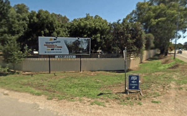
Wangaratta Caravan & Tourist Park
Entrance to the Wangaratta Caravan & Tourist Park Wangaratta Caravan & Tourist Park location map
Entrance to the Wantirna Park Caravan Park Wantirna Park Caravan Park location map
Entrance to the Warburton Caravan Camping Park Warburton Caravan Camping Park location map
Entrance to the Wardell Rest Area (Southbound) Wardell Rest Area (Southbound) location map
The Warri Camping Reserve is a great area to camp close the Shoalhaven River with some road noise during the day but quiet at night.
Access to some sites are better suited to off road setups, but there are plenty of sites accessible for most. The campgro ...
Read More...
The Warwick Victoria Park Rest Area is on large flat bitumen area with grassy areas and plenty of room to turn around big rigs. There is a wood-fired bbq, public toilet with wheelchair access, and a childrens playground.
Entrance to the Warwick Victoria ...
Read More...
Entrance to Wave Rock Caravan Park. Wave Rock Caravan Park location map.
Waverley Creek Rest Area 20 Hour Limit
The Waverley Creek Rest Area has a maximum stay 20 hours allowed, Facilities include Wood fired BBQs, and tap water, as with most water your not sure about, it's advisable to purify it first by boiling before drinking. There is also a telephone box availa ...
Read More...
Werribee South Beach Caravan Park
Entrance to the Werribee South Beach Caravan Park Werribee South Beach Caravan Park Location map
West of The Range Rest Area
The West of The Range Rest Area has a public toilet and picnic tables but no rubbish bins. Entrance to the West of The Range Rest Area West of The Range Rest Area location map
Entrance to West Peawah River Rest Area West Peawah River Rest Area Location Map
Whiters Holiday Village Big4
Entrance to the Whiters Holiday Village Big4 Whiters Holiday Village Big4 location map
Wing's Wildlife Park
The Wing's Wildlife Park also has a campground attached, with special dispensation for access to the wildlife park. Entrance to the Wing's Wildlife Park Wing's Wildlife Park location map
Entrance to the Wodonga Caravan & Cabin Park Wodonga Caravan & Cabin Park location map
To enter the Woodend Visitor Information Centre enter from Calder highway onto Margery Crescent. Woodend Visitor Information Centre Woodend Visitor Information Centre location map
Woods Reserve
To camp at the Woods Reserve camping area, you must pre-book online first, otherwise you will not be able to stay here.
There are some fire pits, bbqs, and public toilets and showers with hot water available and a sink is provided for washing up, and thi ...
Read More...
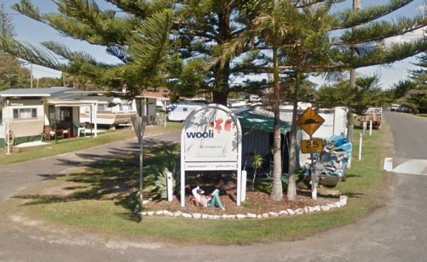
The Wooli Caravan Park is a tidy little park located between the Wooli Wooli River and the open Ocean. Try and get a campsite facing the river, that way you'll get great uninterrupted sunsets.
{tab title="Local Places to Eat" class="grey"}
Harry's Chi ...
Read More...
The Wyaralong Dam Camping Area with easy access to picnic tables, and bbqs there are two camping areas available.
The lilybrook Recreation Area and Ngumbi campsite have a public toilet, cold showers, water tanks, bbq's, undercover picnic tables and a chi ...
Read More...
Wycheproof Caravan Park
Entrance to Wycheproof Caravan Park Wycheproof Caravan Park Location Map
The Wynyard Foreshore Parking Area is a quiet beach front day parking area, with good facilities, and will keep the kids entertained for a while in the playground area. Entrance to the Wynyard Parking Area Wynyard Parking Area Location Map
Entrance to the Yanakie Caravan Park Yanakie Caravan Park location map
Yarra Valley Park Lane Holiday Park BIG4
Entrance to the Yarra Valley Park Lane Holiday Park BIG4 Yarra Valley Park Lane Holiday Park BIG4 location map
Yarrawonga Holiday Park
Entrance to the Yarrawonga Holiday Park Yarrawonga Holiday Park location map
Entrance to the Yea Riverside Caravan Park Yea Riverside Caravan Park location map
The Zonhoven Park Rest Area is just a hop step and a jump from the Burnett River if your into fishing, perhaps a short walk to the Big Orange is more your thing. (About 400 metres up the road.)
You will hear some noise from passing trucks at night and th ...
Read More...
