Postcode: 0872
Entrance to the Gemtree Caravan Park & Gem Stone Fossicking Gemtree Caravan Park & Gem Stone Fossicking location map
Geraldton Bore Camping Area
The Geraldton Bore Camping Area is on Aboriginal Land, so permits are needed to camp here. This campsite is located on Hunt Oil Road just off the Gunbarrel Highway.
You must contact Department of Aboriginal Affairs for Permit to camp here.
Geraldton Bor ...
Read More...
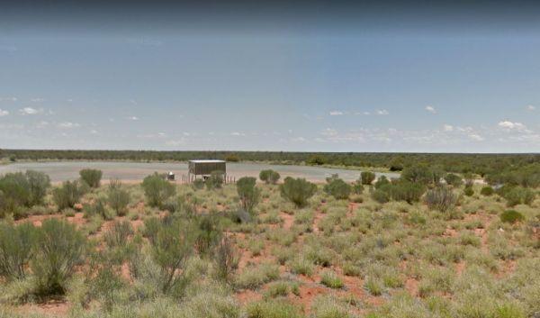
Marryat Creek North Rest Area
The Marryat Creek North Rest Area is Hot, Flat, Dry and desolate, it makes you wonder how anything can live in a place like this. There are undercover picnic tables, rubbish bins, tank water and plenty of off road parking for your caravan or motorhome.
E ...
Read More...
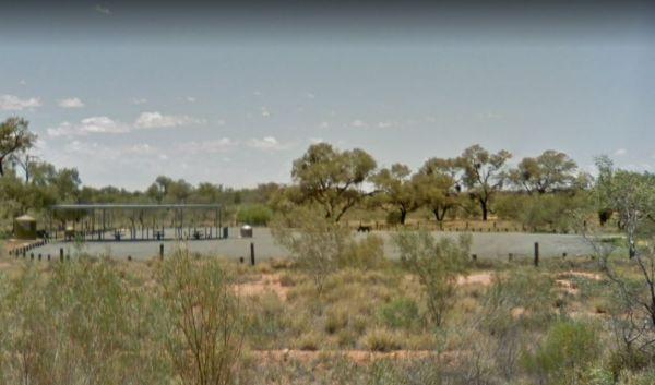
Marryat Creek Rest Area
The Marryat Creek Rest Area has an emergency Phone and emergency rainwater tank to supply of Drinking water. There is lots of space for your caravan, you will find undercover picnic tables, rubbish bins to compliment this rest area.
Entrance to the Marry ...
Read More...
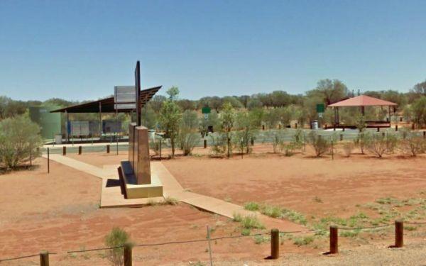
Entrance to the South Australia - Northern Territory Border Rest Area South Australia - Northern Territory Border Rest Area location map
Entrance to the South Australia - Northern Territory Rest Area Location Map of the South Australia - Northern Territory Rest Area
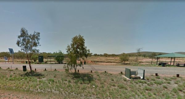
Taylor Creek Rest Area has a mobile-phone signal enhancer that enable your phone to access the network. Plenty of room to park with undercover picnic tables, wood fired bbqs, rubbish bins, tank water and public toilet making this a well equipped rest spot ...
Read More...


