Postcode: 3304
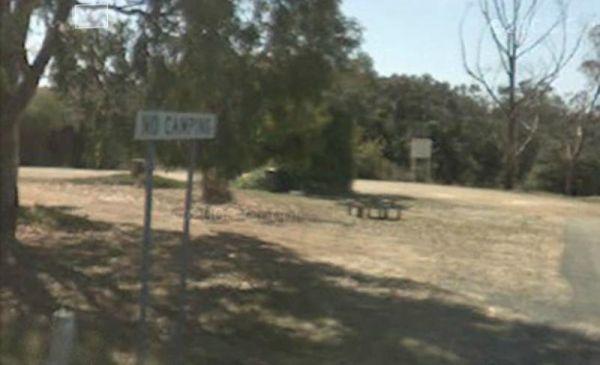
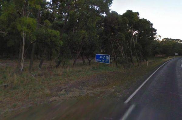
Entrance to the Glenelg River Rest Area Glenelg River Rest Area location map
Hiscocks Crossing Camping Area is situated on the Banks of the Crawford River, with camping permitted only at Hiscocks Crossing, where the public toilets are provided. This is 4x4 country Hiscocks Crossing Camping Area Location Map
The Jackass Fern Gully Camping Area is a peaceful stop off point to for a day or two and nice flat campsites, with a few walking tracks to take your camera along.
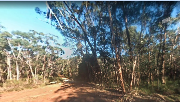
Entrance to the Jackass Fern Gully Camping Area
Jackass Fern Gully Camping Area Location ...
Read More...
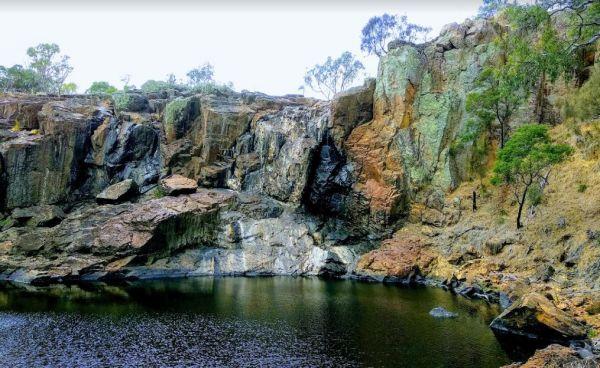
The Nigretta Falls Scenic Reserve were previously known as the Upper Wannon Falls, these waterfalls are located in the Southern Grampians Shire, approximately 16 kilometres west of Hamilton. There are three different viewing areas, one from car park and w ...
Read More...
Entrance to the Pinasters Picnic Rest Area Pinasters Picnic Rest Area location map
The Rennick Plantation - Palpara Camping Area, it's best if you have levelling blocks with you if you intend to camp with your camper here.
Entrance to the Rennick Plantation - Palpara Camping Area
Rennick Plantation - Palpara Camping Area location ma ...
Read More...
To get to the Surry Ridge Picnic and Camping Area you need to travel down narrow dirt roads which means it's more suitable to small campervans and car based camping. Surry Ridge Picnic and Camping Area location map
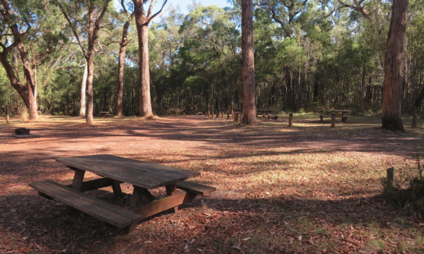
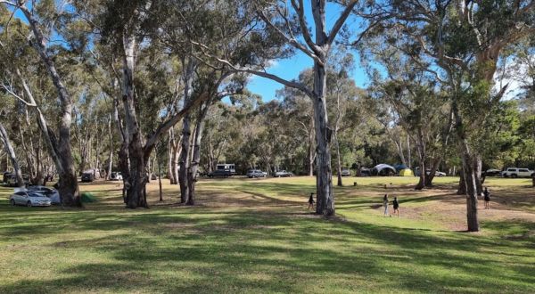
The Fort O'Hare Camping Area has large campsite with built in fire pits with bbq plate, a public drop toilet and picnic tables, located on the banks of the Glenelg River, pet friendly.
You will also find an Honesty box at the local store for camp fees. W ...
Read More...
