Postcode: 3723
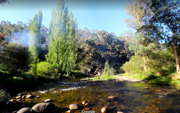
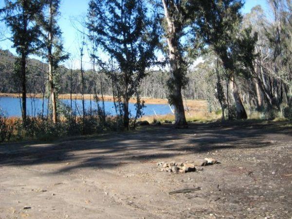
If camping at the Big River Camping Area it's well worth you time to get out your fishing rods and trying your luck at catching dinner. Big River Camping Area location map
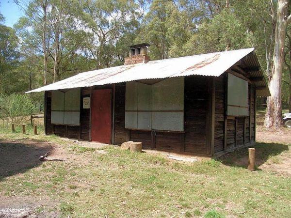
Blackbird Hut (Kelly's Hut) Campground
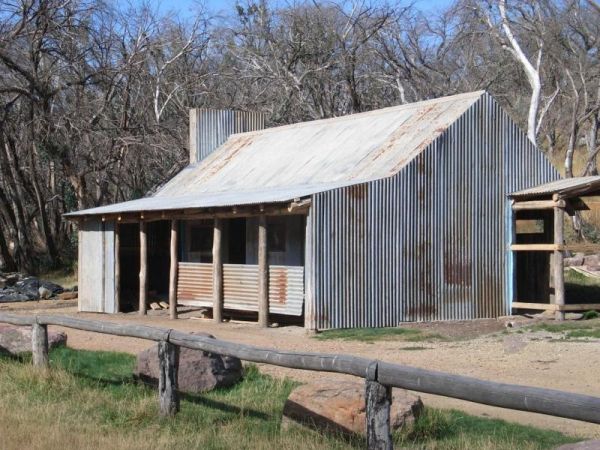
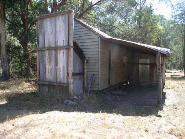
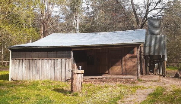
The Pickerings Flat Camping Area still has a historic cattleman's hut in use today by Parks Victoria, it's used to maintain the other huts and parks in the area. This campsite comprises of a large grassy area, with plenty of camp sites to choose from. You ...
Read More...
Blue Range Creek Camping Area
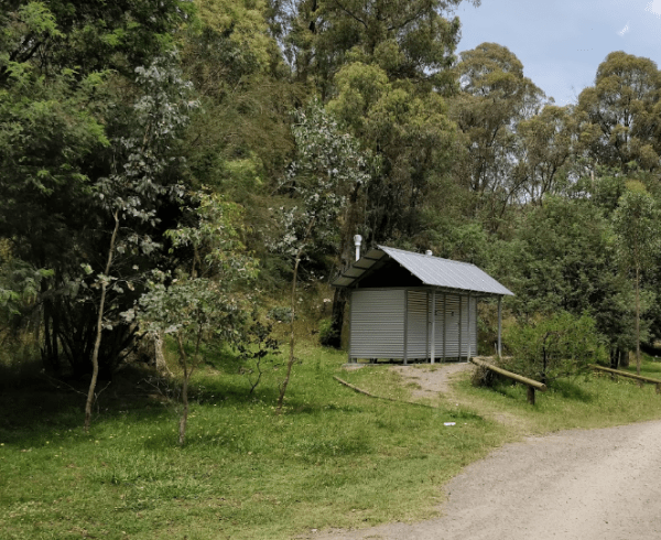
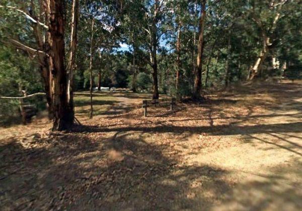
Blue Range Creek Camping Area is nice little campground on the river, with drop toilets located in the day area across the road. This campground is a relatively quiet spot to camp and is 20 min from Mansfield. Its set amongst tall gum trees that offer sha ...
Read More...
Bluff Hut Camping Area
Bluff Hut Camping Area is great for overnight trekkers, or just a stop over for The Bluff summit. There is a drop toilet and a firepit with a water tank nearby. This is a tent based or 4wd vehicle camping spot. From here summit and grab a photo or two of ...
Read More...
The Burnt Bridge Camping Area is an amazing place, with easy access to the river, good for fishing. There are 2 separate drop toilets, one in the main area, and the other further down the towards the end of Burnt Bridge.
Most of the camping areas are of ...
Read More...
Buttercup Creek Camping Areas (Campgrounds 1-5) has 5 different campground locations, ranging from 2 to 20 suitable campsites in each. Plenty of 4x4 driving tracks to explore from your base camp, you can also checkout the numerous walking tracks in the ar ...
Read More...
Carters Mill Camping Area has clean toilets, and it's a quiet spot for a campsite (Not many level spots to choose from). From here, you can walk to waterfalls, you'll find some amazing beautiful views. There are picnic benches and solid fuel fireplaces an ...
Read More...
Chaffe Creek Camping Ground
Chaffe Creek Camping Ground is a great campsite spread across 2 sections, there are long drop toilets and a few fireplaces. This camping area is a bit more open than a few others close to this location. You can also catch a fish dinner if you try hard eno ...
Read More...
Davons Flat Camping Area
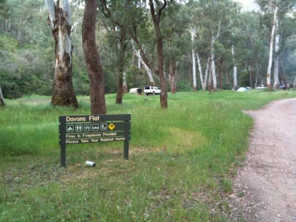
The Davons Flat Camping Area is a beautiful spot alongside the Howqua River and hugely popular. It is part of the Howqua Hills Historic area and just next door to Sheepyard Flats another very popular camping area. This area was used for gold mining, so if ...
Read More...
Frys Flat Camping Area
Frys Flat Camping Area is a picturesque campsite with a long drop toilet, and fire pits with the Howqua Hills Historic Walk on your doorstep and it will take you around 1 1/2 hours to complete. The king parrots and kookaburras are overly friendly, so watc ...
Read More...
Goughs Bay Caravan Park
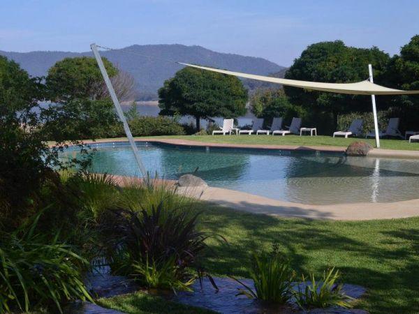
Goughs Bay Caravan Park location map
The Grannys Flat Camping Area has a few 4x4's tracks to check out. There are no built fireplaces at this site, so please use a previous campfire site and clean up afterwards. This is a nice place on the Jamerson River, for those of you who enjoy fishing e ...
Read More...
Entrance to the Howqua Valley Resort Howqua Valley Resort location map
The Jimmy Bullocks Camping Area is close to the Big River that flows around a bend, giving you plenty of river to explore, without walking too far from your tent. Jimmy Bullocks Camping Area location map
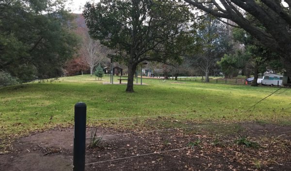
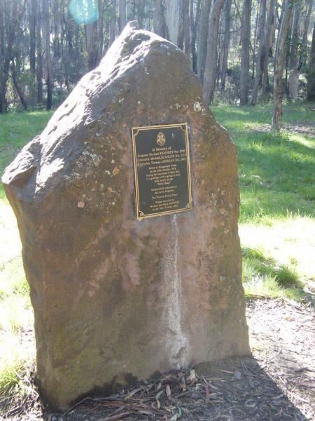
The Kelly Tree Stringybark Creek Camping Area, has public toilets, picnic tables and fire pits, and plenty of space to set up camp. This campground is located where Ned Kelly's gang murdered 3 Police officers.The names of the fallen officers is listed bel ...
Read More...
The King Hut Camping Area has the King River close at hand, for the Trout fishermen out there. A normal 2wd car can get here in the drier months. King Hut Camping Area King Hut Camping Area location map
The Knockwood Reserve Camping Area is a good spot to blow the dust off your kayak and do some exploring. The campground is situated on the banks of the Gaffneys Creek, with plenty of grassy campsites to choose from.
Entrance to the Knockwood Reserve Camp ...
Read More...
The Lake Cobbler Camping Area can be accessed in a conventional 2WD as far as Bennies in dry weather only. Once there you'll find a fairly large gravel surface. Be prepared with warm clothing and sufficient supplies, as the weather conditions rapidly chan ...
Read More...
Noonans Flat Camping Area
If planning on staying at the Noonans Flat Camping Area, has amazing views with good access to the river, and an there's an old mine not far away to explore. It would be a good idea to contact Parks Victoria about prevailing conditions, before heading off ...
Read More...
Pickerings Flat Camping Area
Pickerings Flat Camping Area is a rough bush camp, there are a few Old Mines in the area, so take care if walking off the beaten track. Pickerings Flat Camping Area Location Map
The Picnic Point Camping Area is next to the Goulburn River, with plenty of water activities for you to pursue. Time to see if the Kayak has a leak in it. Entrance to the Picnic Point Camping Area Picnic Point Camping Area location map
Sheepyard Flat Camping Area
The Sheepyard Flat Camping Area is a lovely quiet and relaxing campsite that has plenty of grassy areas to choose from on the banks of the Howqua River. For the fishermen amongst us, the river seems to only hold carp, but I could be wrong. To get to the c ...
Read More...
Entrance to Skipworth Reserve Skipworth Reserve Location Map
Entrance to The Pines Campground The Pines Campground location map
Entrance to Tolmie Rest Area Tolmie Rest Area location map
Tunnel Bend Camping Area
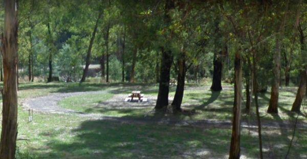
Tunnel Bend Camping Area 360 Tunnel Bend Camping Area location map
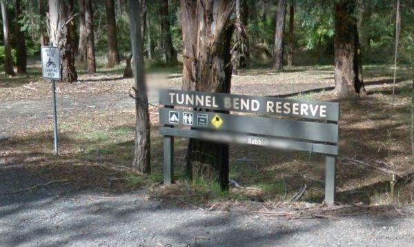
Entrance to the Tunnel Bend Reserv Camping Area Tunnel Bend Reserve Camping Area location map
The Twelve Mile Reserve Camping Area has level camping areas, with long drop toilets and good access to the Goulburn River where it's safe to swim. This is a place to test out the kayak, or have a go at some fishing.
Entrance to the Twelve Mile Reserve C ...
Read More...
