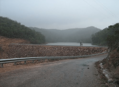
Category: No Camping
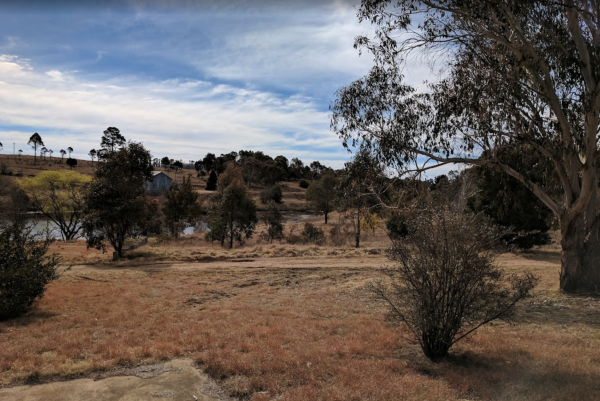
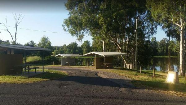
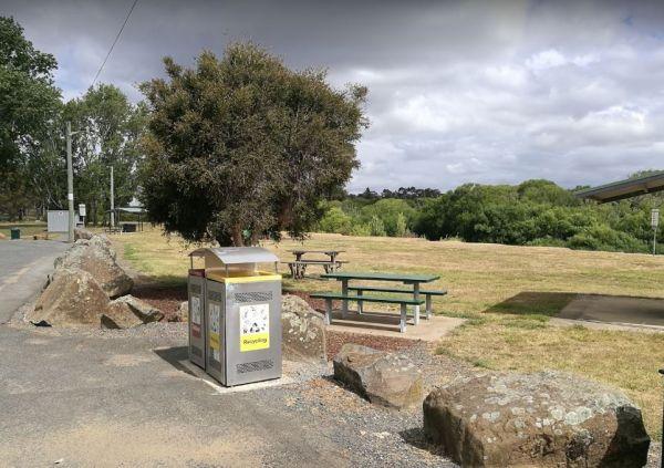
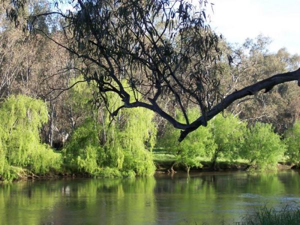
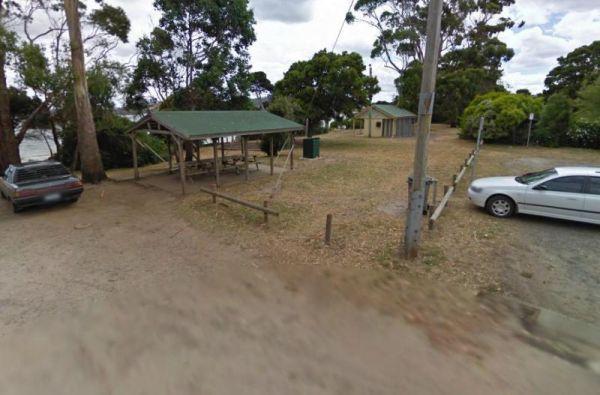
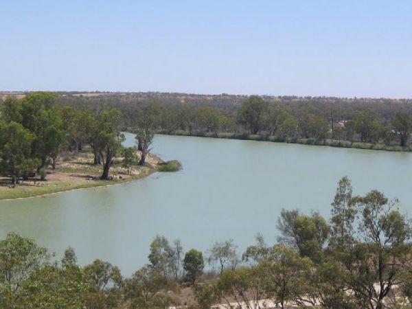
The Alma Reserve Picnic Area is a nice spot for a rest and a picnic, grab your fishing rod and try your luck, or launch your kayak and have a quick exploratory paddle of the waterway.
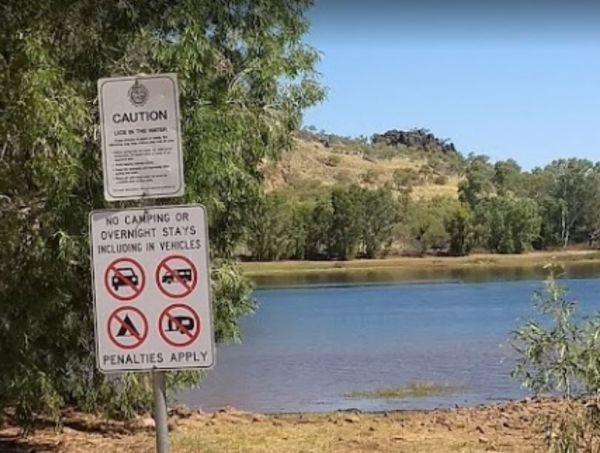
No Camping is permitted here
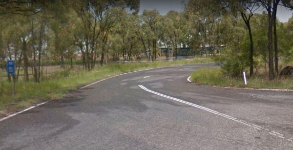
Entrance to the Alma Reserve Picnic Area ...
Read More...
Arrowsmith Rest Area
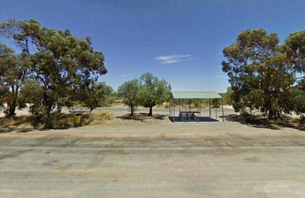
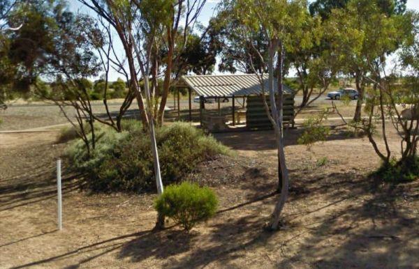
The Arrowsmith Rest Area, has a a few small trees for shade, a public toilet, fireplaces with bbq, undercover picnic tables and rubbish bins. It's located on a gravel surface just off the Brand Highway. No Overnight Camping Permitted This is strictly a Re ...
Read More...
The Bass Valley Reserve Rest Area. This is a nice spot with quite a bit of room to park your caravan. There is an onsite toilet, and a few picnic tables set among the gum trees.
THE LOCAL COUNCIL HAS PERMANENTLY CLOSED THIS REST AREA
Entrance to the ...
Read More...
Beardy Waters Woodland Park Rest Area
Please Note: Beardy Waters Woodland Park is intended to be a Rest Area Only, and strictly day use for picnics, bush walking, fishing, etc.
No Overnight Camping of any type is permitted.
Entrance to the Beardy Waters Woodland Park Rest Area
Beardy Wat ...
Read More...
The Bendemeer Park Rest Area is located next to the Watson Creek quite a nice place to pull over and relax a bit. Note: No Camping Permitted Entrance to the Bendemeer Park Rest Area Bendemeer Park Rest Area location map
The Cane River Rest Area located on the banks of the Cane River, close to the road is level with no shade to park your caravan, but you can go inland a bit further away from the highway, for a bit more privacy. Managed by Parks and Wildlife - NO CAMPING P ...
Read More...
The Cardwell Park Rest Area is a nice place for a break from the road or for a picnic. There is soft grass, shady trees, picnic shelters and tables and you can take a stroll along the beach, and take in the sea air for an hour or two.
Entrance to the Car ...
Read More...
At the Chinaman Creek Dam Recreation Park you should keep an eye open for freshwater crocodiles in the dam, take your kayak for a spin and a camera in case something pops up out of the water with big teeth, or try your hand at fishing.
NO CAMPING PERMITT ...
Read More...
At the Clairview Park Rest Area Fishing is mainly at High Tide, unless you want to walk forever in the mud, and run like hell when the tide turns hahahaha, and when you do catch a fish there are electric and wood-fired BBQs available.
No Camping Permitte ...
Read More...
The Claude Wharton Weir Park is busy in the morning with locals taking a walk, nice boat ramp and plenty of opportunities to get your line wet, it's well worth a peek.
NO CAMPING PERMITTED
Entrance to the Claude Wharton Weir Park
Claude Wharton Weir ...
Read More...
The Dublin Lions Park Rest Area does not offer a lot of shelter from the sun or road traffic noise, but it's a place to pull over and take advantage of the undercover picnic table.
Entrance to the Dublin Lions Park Rest Area
Dublin Lions Park Rest Are ...
Read More...
The Franklin River Reserve is close to the Franklin River, with wood BBQ's and picnic tables scattered around. Entrance to the Franklin River Reserve Campground Franklin River Reserve Campground location map
Franklinford Streamside Reserve
The Franklinford Streamside Reserve, is best suited to vehicle based camping or small camper trailers etc. This is a small Nature preserve that has mobile phone coverage and a fireplace on the banks of the Jim Crow Creek.
Map of the Franklinford Streamsi ...
Read More...
The Hadspen Lions Park Reserve Area is a nice open area with boat ramp, and is a lovely spot for a bbq and picnic. This is a great park on the banks of the South Esk River, with playground and off lead dog area.
Entrance to the Hadspen Lions Park Reserve ...
Read More...
The Howlong Lions Park Rest Area is not a bad spot on the Murray River. There are public toilets, picnic tables, bbqs, and rubbish bins with a lot of level ground to park your caravan, and gum trees for shade.
NOTE: No Camping Allowed
Pop over to the Tr ...
Read More...
Lightning Ridge Turnoff Rest Area
Entrance to the Lightning Ridge Turnoff Rest Area Lightning Ridge Turnoff Rest Area location map
Little River Highway Rest Stop (Southbound)
The Little River Highway Rest Stop (Southbound) now has NO CAMPING signs but it's a nice place to take a break from driving. There is a petrol station next to this rest spot with take away food and an Information Center.
Entrance to the Avalon Rest Area ...
Read More...
Permanently Closed due damage by inconsiderate campers.
The Lumbys Bend Camping Area is a rough bush camp next to the Murray River, water activities including fishing, swimming, kayaking etc. come to mind and photography all available from this campsit ...
Read More...
Manton Dam Recreation Area
The Manton Dam Recreation Area has plenty of places to have a picnic in the shade, and there is a public toilet and rubbish bins present. This is a nice spot to pop your Kayak into and paddle around for a bit, and maybe do some fishing.
Gates are Open: M ...
Read More...
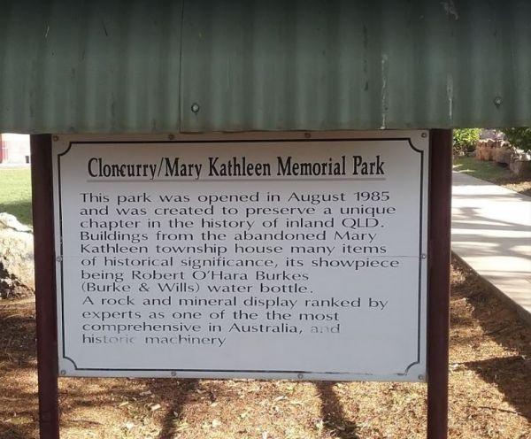
From the Mary Kathleen Memorial Park you can check out the memorial park with associated museum pieces, you can always pop over to the Open Air Theatre to see what’s showing. Also pop into the Visitor Information Centre for more things to do and see in th ...
Read More...
The Mary Lawson wayside Rest Area has an undercover picnic table plus rubbish bins. plus a museum beside this park, it's called the Log Museum. There is no camping allowed at Mary Lawson Wayside. If you want to stay longer, pop over to the Finley Lakeside ...
Read More...
At the Monto Lions Park Rest Area freshen yourself up and take a rest from driving, pop into the main town and restock your larder in Newton Street.
No Overnight Camping Permitted.
Entrance to the Monto Lions Park Rest Area
Monto Lions Park Rest Area ...
Read More...
Murrayville Park Rest Area
The Murrayville Park Rest Area has a phone box and public toilet block, some old farm equipment on display, bbq, picnic tables, some shade spots to park your vehicle, and the Murrayville Hotel is directly across the road.
Entrance to the Murrayville Park ...
Read More...
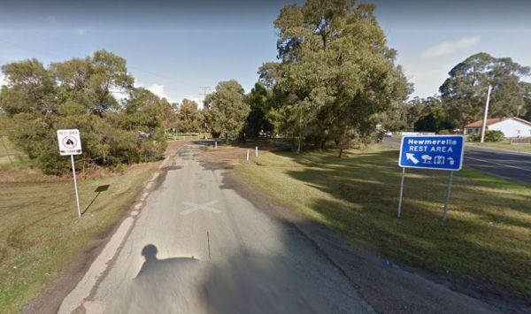
Entrance to the Newmerella Rest Area Newmerella Rest Area location map
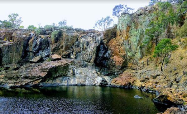
The Nigretta Falls Scenic Reserve were previously known as the Upper Wannon Falls, these waterfalls are located in the Southern Grampians Shire, approximately 16 kilometres west of Hamilton. There are three different viewing areas, one from car park and w ...
Read More...
The Nine Mile Creek Reserve is just off the Sturt Highway with access to the Murrumbidgee River.
Note: No Camping is permitted here, but you might catch a fish if your lucky. Map Info:
Entrance to the Nine Mile Creek Rest Area
Nine Mile Creek Rest Ar ...
Read More...
At the Nyngan Rotary Park Rest Area there is No Camping permitted at this location, it is a rest areas only. Entrance to the Nyngan Rotary Park Rest Area Nyngan Rotary Park Rest Area location map
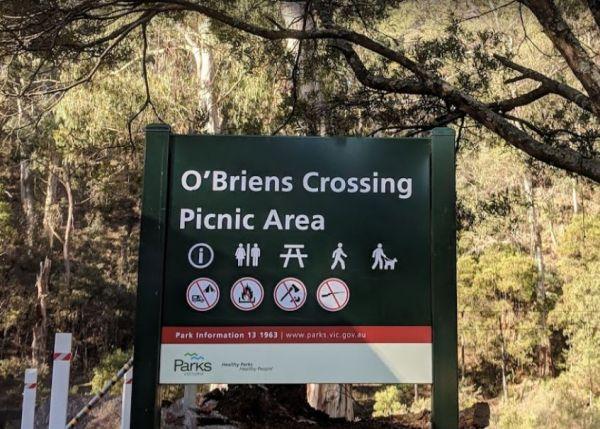
O'Briens Crossing Picnic Area
O'Briens Crossing Picnic Area location map
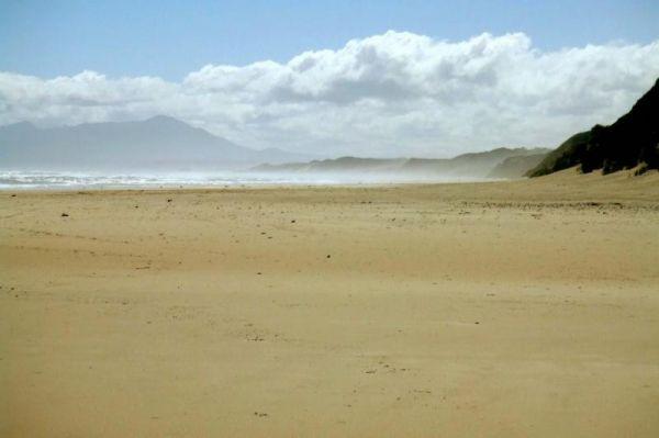
If visiting the Ocean Beach Coastal Reserve Strahan, beach fishing is the main attraction here, and long walks along the sandy shoreline.
NO CAMPING PERMITTED
Entrance to the Ocean Beach Coastal Reserve Strahan
Ocean Beach Coastal Reserve Strahan loc ...
Read More...
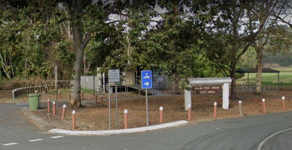
Entrance to the Palm Beach Creek Rest Area Palm Beach Creek Rest Area location map
Paper Beach Reserve Rest Area 12 Hour Limit
At the Paper Beach Reserve Rest Area you can make a call from the phone box, pop over to the water, turn right, and take a walk along the water's edge to the point, and take your camera with you.
Entrance to the Paper Beach Reserve Rest Area
Paper Bea ...
Read More...
Peterborough Park Rest Area
Entrance to the Peterborough Park Rest Area Peterborough Park Rest Area location map
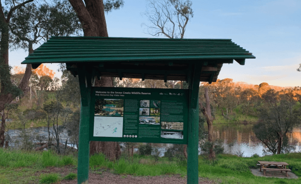
Polly McQuinn Reserve
Polly McQuinn Reserve Location Map
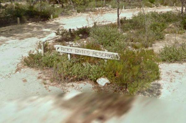
Ricky Bates Reserve
No Camping permitted at the Ricky Bates Reserve NOTE: There are a few low cost camp sites available not far away, my Dutton bay woolshed, Farm beach. Shelly beach. So you can camp legally, and enjoy what the local area has to offer.
Entrance to the Ricky ...
Read More...
Entrance to the Sandbanks Reserve Sandbanks Reserve location map
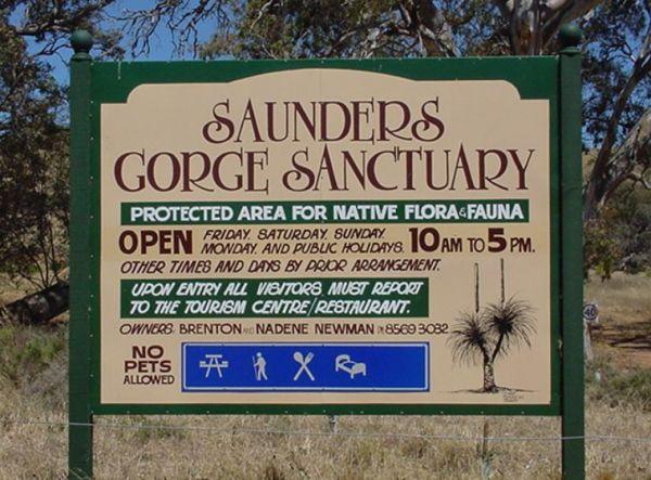
Saunders Gorge Sanctuary - Permanently Closed
Saunders Gorge Sanctuary location map
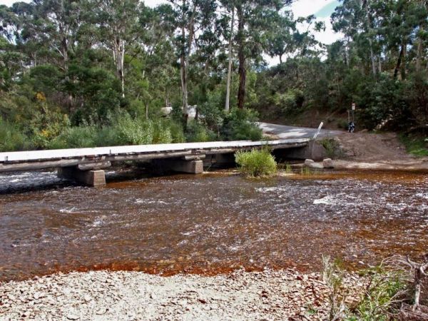
The Shoalhaven River Crossing, is a nice place to take a swim and gold pan. There are no facilities, or camping amenities, but it's a great stretch your legs and maybe catch a fish for dinner, or some gold in your pan after a day of fossicking.
Entrance ...
Read More...
Sisters Beach Foreshore Parking Area
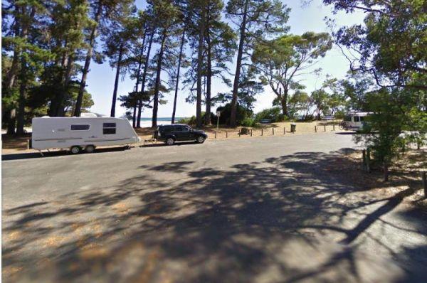
The Sisters Beach Foreshore Parking Area is a pleasant day stopover, with the foreshore only a few steps away from the car park, and a nice place to enjoy a picnic.
No Camping Permitted
Entrance to the Sisters Beach Foreshore Parking Area
Sisters Bea ...
Read More...
Entrance to the Tooradin foreshore camping Tooradin foreshore camping location map
Entrance to the Waikerie Lookout Rest Area Waikerie Lookout Rest Area location map
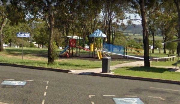
The Warwick Victoria Park Rest Area is on large flat bitumen area with grassy areas and plenty of room to turn around big rigs. There is a wood-fired bbq, public toilet with wheelchair access, and a childrens playground.
Entrance to the Warwick Victoria ...
Read More...
Entrance to the Wood Wood Rest Area Wood Wood Rest Area location map
Yarrawonga - Free Dump Point
Entrance to the Yarrawonga - Free Dump Point Yarrawonga - Free Dump Point location map
Yellow Pinch Dam Rest Area - PERMANENTLY CLOSED
Yellow Pinch Dam Rest Area - PERMANENTLY CLOSED location map
