Directory: A-Z
North Tent Hill Rest Area
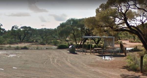
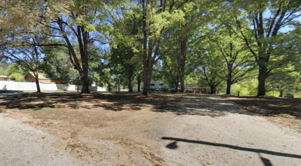
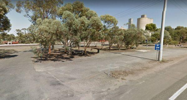
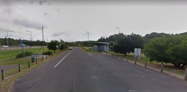
The North Tent Hill Rest Area has an undercover picnic table and a few rubbish bins offering little shade, but has plenty of room to park all sized rigs.
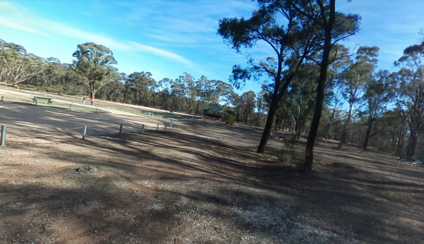
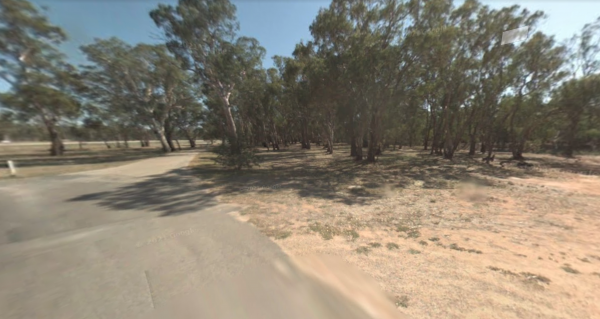
At the Notley Camping Area you can enjoy the serenity of the bush, and take a short stroll along one of the tracks. There are two drop toilets, fire pits and large picnic tables located here at the campground.
NRMA Bairnsdale Riverside Holiday Park
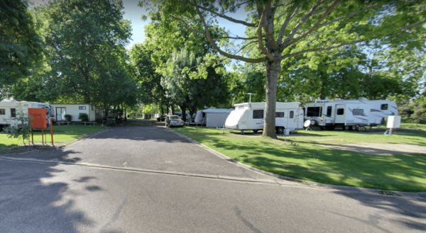
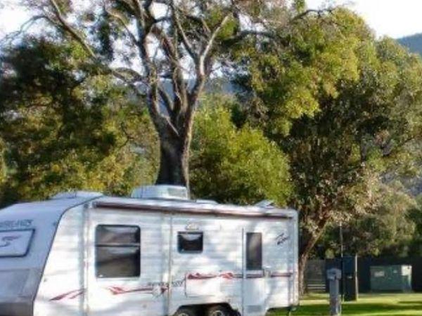
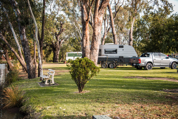
NRMA Bairnsdale Riverside Holiday Park is a peaceful riverside retreat in the heart of East Gippsland. This well-equipped holiday park offers modern conveniences alongside beautiful natural surrounds, making it ideal for families, couples, and solo travel ...
Read More...
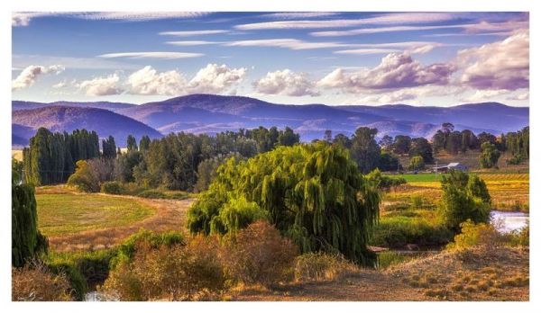
NRMA Bright Holiday Park is a premium holiday destination located in the picturesque alpine town of Bright, renowned for its natural beauty, vibrant seasonal colors, and outdoor lifestyle. Set amongst shady trees and along the banks of Morses Creek, this ...
Read More...
NRMA Halls Gap Holiday Park, part of the BIG4 network, is the ideal base for exploring the stunning natural beauty of the Grampians. Nestled at the foot of dramatic sandstone ranges, the park blends comfort with adventure—offering everything from wildlife ...
Read More...
The Nugan Bend Rest Area is located on the corner of Millis Road and Kidman Way. There are some rubbish bins and undercover picnic tables plus a public toilet, and some shady spots to park your caravan.
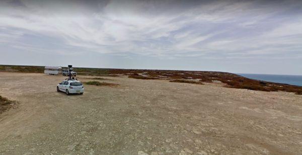
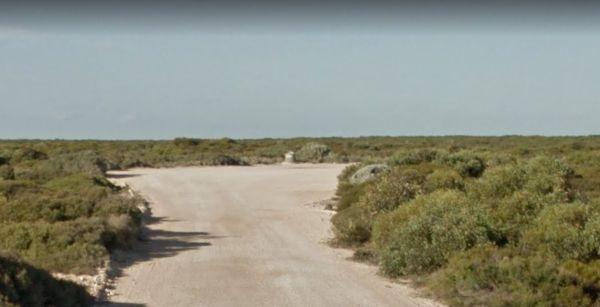
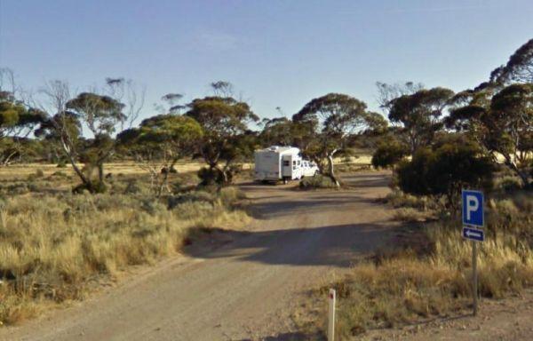
The Nullarbor Rest Area is located on a rough gravel surface with Ocean Views. It's not too far from the Eyre Highway and worth the drive, once there you will find a fair amount of room to park your caravan, and stretch your legs.
The Numeralla River Rest Area has the river close at hand, so it's hard not to try some fishing and a spot of camera work, not to mention a crack at trying to get the kayak on the water.
Numurkah Caravan Park is a peaceful, friendly park set beside the gently flowing Broken Creek in the heart of northern Victoria’s Goulburn Valley. It’s the perfect spot for a quiet getaway, whether you’re caravanning, camping, or enjoying a stay in one of ...
Read More...
Numurkah Visitor Information Centre is a hard place to park for Caravans and Big Rigs, you could try to find a park in Knox Street and walk back.
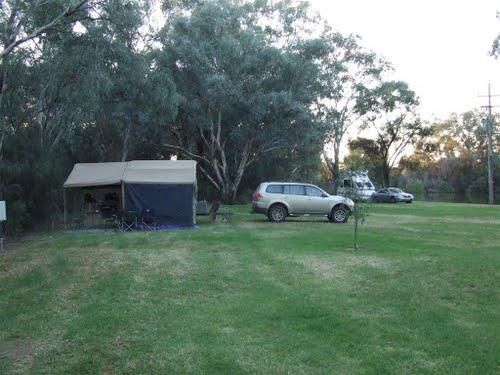
Nyah Lions Club Recreation Reserve Camping Area, is an amazing place to camp at. With plenty of room for any size camper and access to the river, there's a dump point and potable water available, along with rubbish bins, bbqs are provided free for all to ...
Read More...
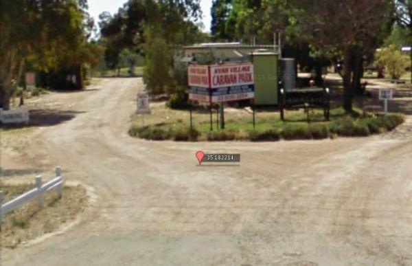
Nyah Village Caravan Park offers a serene, budget-friendly stopover or extended stay along one of Australia’s iconic rivers. Located just a stone’s throw from the banks of the Murray River, this no-fuss park provides a peaceful place to unwind, ideal for ...
Read More...
At the Nyngan Rotary Park Rest Area there is No Camping permitted at this location, it is a rest areas only.
