Directory: A-Z
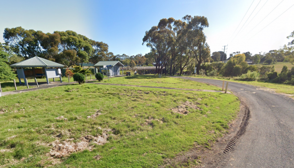
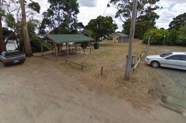
Paper Beach Reserve Rest Area 12 Hour Limit
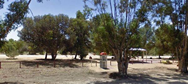
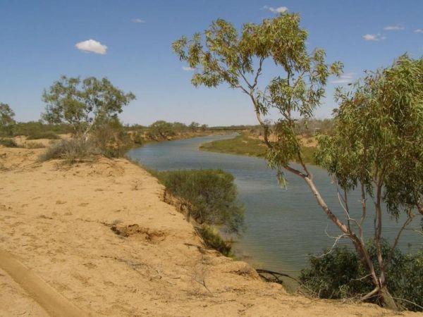
At the Paper Beach Reserve Rest Area you can make a call from the phone box, pop over to the water, turn right, and take a walk along the water's edge to the point, and take your camera with you.
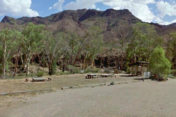
Parachilna Gorge Camping Area
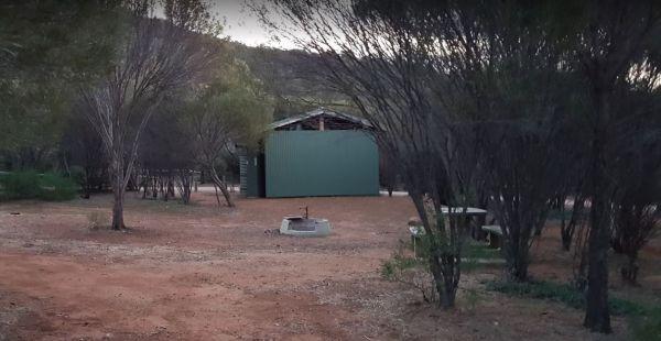
The Parachilna Gorge Camping Area has plenty of spots to use your camera in this location, including a fairly easy walk along the walking track.
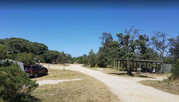
Paradise Beach Camping Area
From Paradise Beach Camping Area you can walk over the sand dunes and take a stroll along the ninety mile beach. If fishing is your thing, wait till close to sundown and into twilight, you can catch Gummy Sharks quit close to the beach. If you are lucky y ...
Read More...
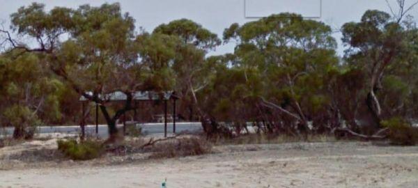
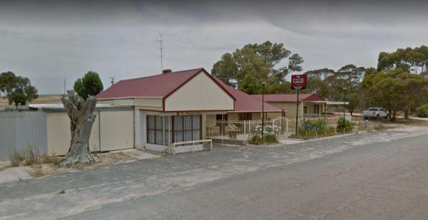
The Parilla Rest Area is in the Parilla township, undercover picnic tables, a few rubbish bins,and public toilets, the Parilla Hotel is directly opposite this rest area.
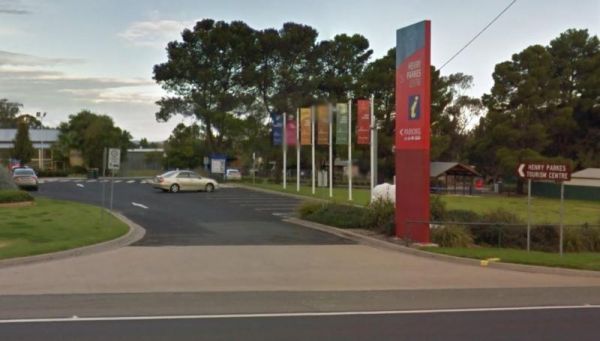
Parkes Visitors Information Centre Open 7 daysWeekdays 9.00am- 5.00pmWeekends/public holidays 10.00am- 4.00pm
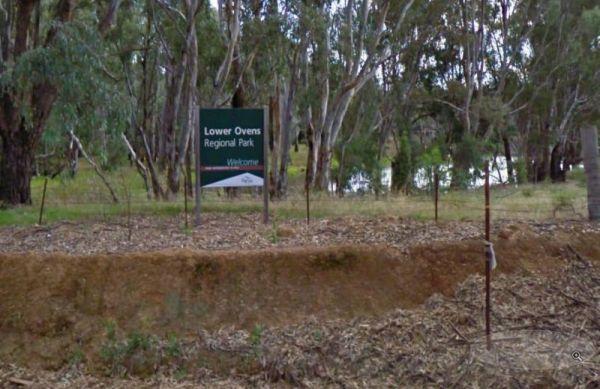
The Parolas Bend Camping Area is a rough bush camp, you might be lucky to catch a fish for dinner from her since your adjacent the Ovens River, or you can also stay at the Bundalong Riverside Caravan Park if you prefer.
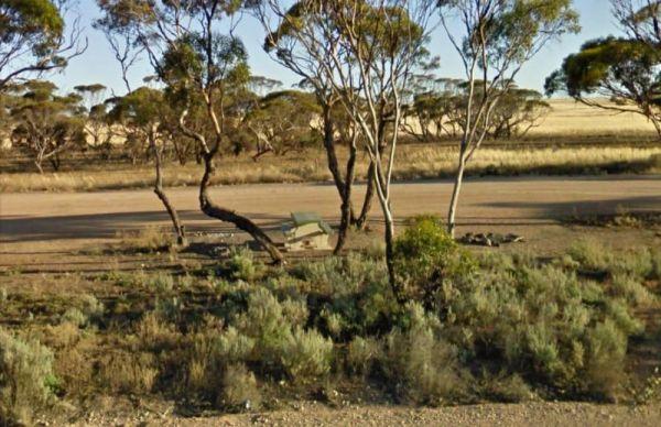
The Parrakie Rest Area is a designated truck rest area, so plenty of room for all sized rigs.
Parramatta Visitor Information Centre
Parramatta Visitor Information Centre Open Hours:9.00am to 5.00pm Daily
Peak Charles National Park Camping Area
The Peak Charles National Park Camping Area is located at the base of the largest granite outcrop in the Great Western Woodlands. The campground is small with some shade available, theres public long drop toilets, fire pits, undercover picnic tables, and ...
Read More...
Peake Creek Siding Rest Area
The Peake Rest Area is OK to take a break from driving and walk over to the Silos and take a photo, this rest area has rubbish bins provided.
Pear Creek Camping Area
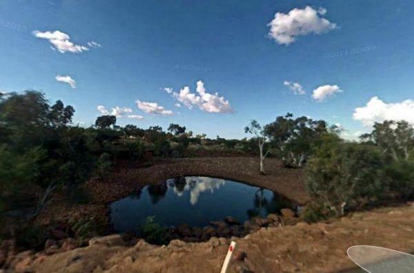
The Pear Creek Camping Area is a small campsite a short distance from the Marble Bar Road. There is a depression in the creek that holds water, but not guaranteed to have any.
Peggs Beach Conservation Area Campgrounds
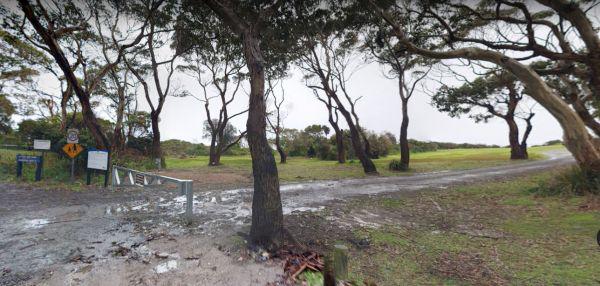
The Peggs Beach Conservation Area Campgrounds has no Power available, Bring your Own Wood for the BBQ's, this campground is controlled by Parks Tasmania. This is a popular spot with easy access to nice sandy beaches.
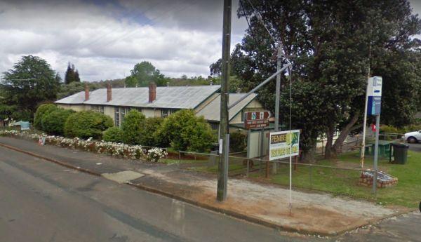
Entrance to the Pemberton Visitor Information Centre Pemberton Visitor Information Centre location map
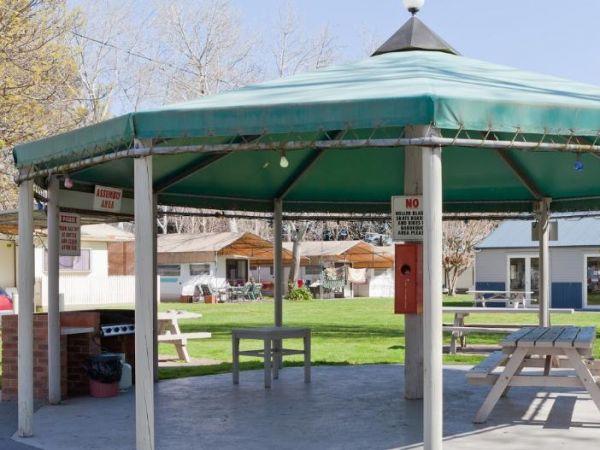
Peninsula Holiday Park offers a laid-back, family-friendly base for exploring the best of the Mornington Peninsula. Set amongst mature trees and landscaped gardens, the park provides a tranquil atmosphere for holidaymakers of all kinds—from couples seekin ...
Read More...
Peppermint Ridge Camping Ground has access to the Big River with two camping areas available. This is a rough bush camp, so you will need to bring everything you need and take your rubbish with you when you leave.
