Directory: A-Z
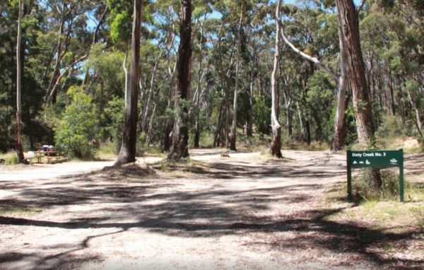
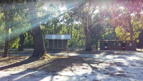
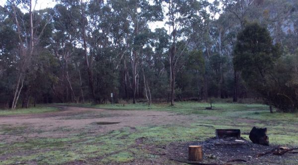
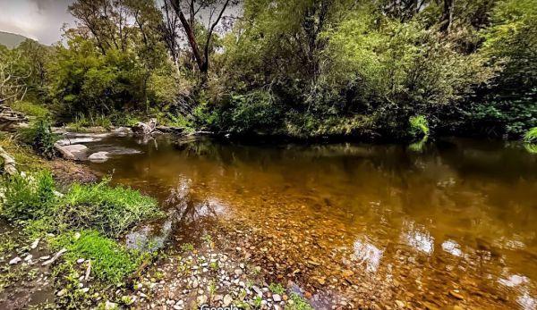
Slaty Creek Campground No3
To get the Slaty Creek Campground No3, it's best to drive in from the slaty creek road end as its an easier road. Some campsites have small concrete slabs for leveling your van. Campground No1 has a public toilet
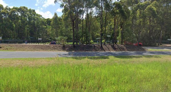
Sleepy Hollow Rest Area (northbound)
Sleepy Hollow Rest Area (northbound) has seperate areas to park trucks and cars with plenty of space to park your caravan. Public toilets with water tap on side of building, undercover picnic tables and rubbish bins.
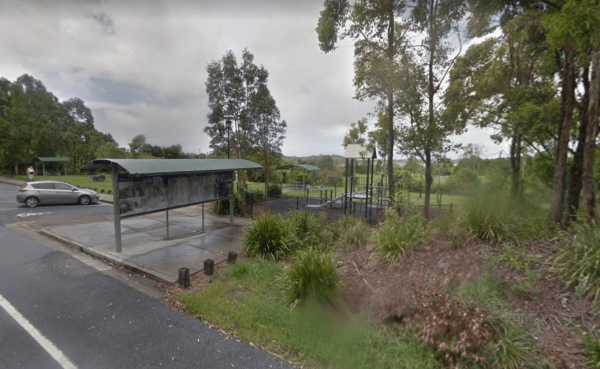
Sleepy Hollow Rest Area (southbound)
Sleepy Hollow Rest Area (southbound) is a nice little shaded rest spot maybe 15 to 20 minutes south of Queensland border, with separate areas for trucks and cars to park. There is ample room for your caravan, a playground for the kids, public toilets with ...
Read More...
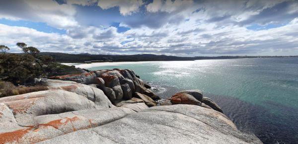
Sloop Reef Camping Area
Sloop Reef Camping Area is a basic bring everything including the kitchen sink and take away your rubbish when you leave place.
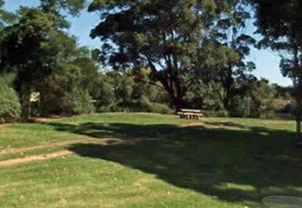
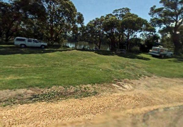
The Smiths Bridge Campground, is fairly close to the main road, but not to many cars at night so you can relax in amongst the tall trees, and take advantage of public toilets and the picnic facilities.
Smythesdale Park Rest Area
The Smythesdale Park Rest Area has room for caravans and motorhomes. There is a small fee charged for those interested in camping at the Park.
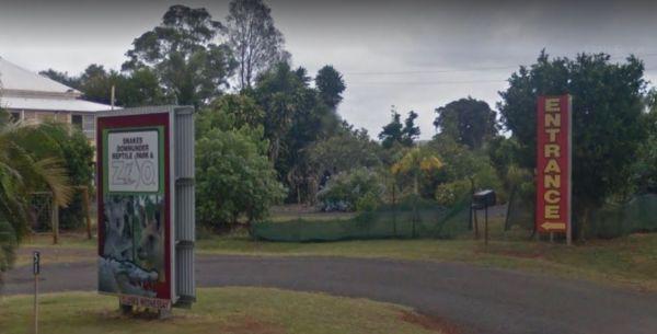
The Snakes Downunder Reptile Park Gates are open from 9:00 am to 3:00 pm The first snake show starts at 10.00amThe main croc show starts at 11.15am The second snake show (different snakes) starts at 12.30pm Note: Closed Wednesday
Snowy Creek Campground
The Snowy Creek Campground is located on the banks of the Snowy, with Brown and Rainbow Trout, Redfin, Yellow Belly, Blackfish.Creek, and Murray Cod waiting to be caught. There is a public toilet and picnic tables at this camp. Other activities include bu ...
Read More...
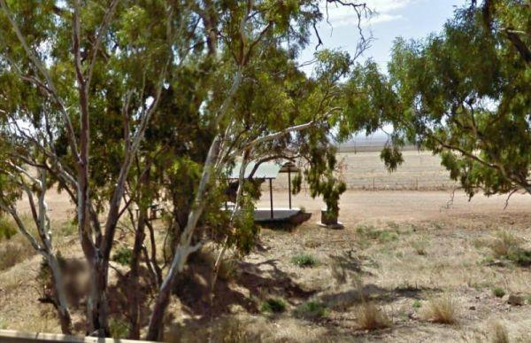
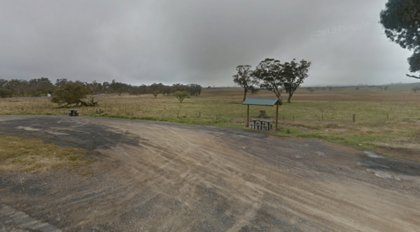
The Snowy Range Rest Area located on a gravel surface near the corner of Waterfall Way and Guyra Road. There is an undercover picnic table and rubbish bins, and room to park your caravan or motorhome, its a spot to have a lunch break, and rest a few minut ...
Read More...
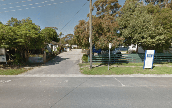
Entrance to the Somers Caravan Park Somers Caravan Park location map
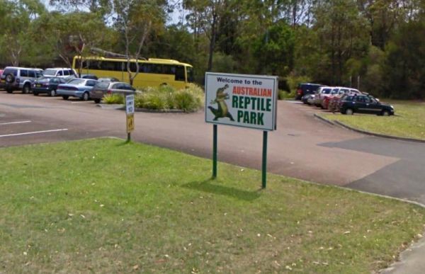
The Australian Reptile Park is located at Somersby on the Central Coast, New South Wales in Australia.
It is about 50 km (a one hour drive) North of Sydney, and is just off the Sydney-Newcastle Freeway. The park is home to a variety of reptiles, includin ...
Read More...
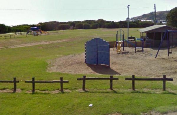
At the Somerset Memorial Park let the kids go wild on the playgrounds, or you can take a short stroll down along the beach, the choice is yours.
The Sorell Council Overnight Stop Area is a simple no frills place where you can empty your Porta Potti, swing a cat and let the dog and kids go crazy for a while. Be sure to stock up on your supplies in the main town before leaving. there is a maximum of ...
Read More...
Small well behaved dogs are welcome here, with Medium to large dogs at the managers discretion.
