Directory: A-Z
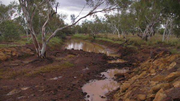
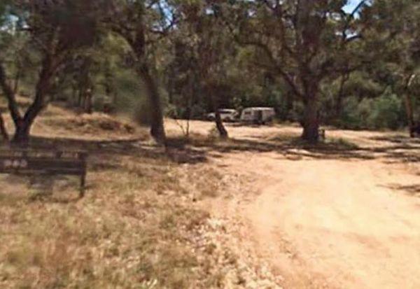
Stockmans Reward Camping Ground is a well set up camp ground with fire pits and a long drop toilet sand good access to water at Arnold Creek. There is a fair amount of suitable areas to camp at. You can get a small camper trailer in, but it's more suited ...
Read More...
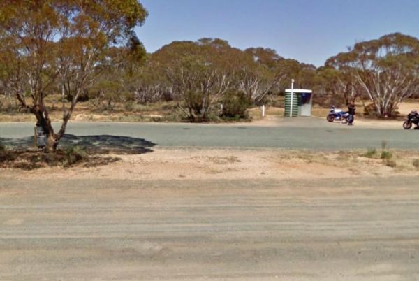
At the Stockwell Rest Area there is not a lot to do apart from take a short break from driving for a few minutes. Entrance to the Stockwell Rest Area Stockwell Rest Area location map
Stockyard Creek Rest Area
The Stockyard Creek Rest Area is located on the corner of Oxley Highway and Stockyard Creek Road, between Port Macquarie to Walcha. Its not the largest place to park your caravan but ample room to turn around if needed. There are public toilets, undercove ...
Read More...
Stockyard Plain Rest Area
The Stockyard Plain Rest Area has an undercover picnic table and rubbish bins, with reasonably level ground to park your caravan but with limited shade. It's a slightly elevated area running alongside the Sturt Highway so you can expect a bit of traffic n ...
Read More...
Entrance to the Stoney Creek Rest Area Stoney Creek Rest Area location map
Stony Point Caravan Park
Stony Point Caravan Park location map. width="100%" height="500" frameborder="0" style="border:0" allowfullscreen>
Straneys Bridge Camping Area
When stopping at the Straneys Bridge Camping Area, apart from fishing or a rest from driving there's not much else to be had here. Entrance to the Straneys Bridge Camping Area Straneys Bridge Camping Area location map
Entrance to the Stratford Rest Area Stratford Rest Area location map
Entrance to the Stratford Top Tourist Park Stratford Top Tourist Park location map
Strathalbyn Visitor Information Centre
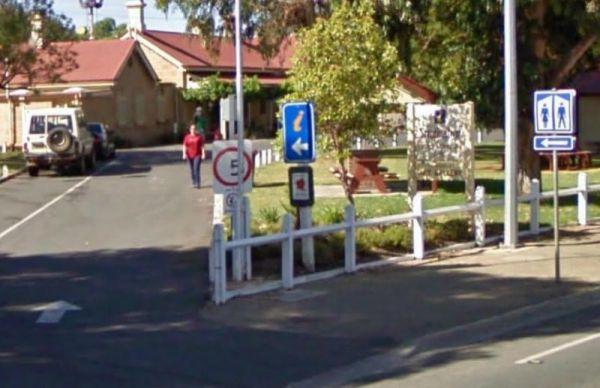
The Strathalbyn Visitor Information Centre is located in the old Railway Station. It's well worth your time to drop in, and get more information as to what there is available to do and see in the local area.
Entrance to the Strathalbyn Visitor Informatio ...
Read More...
Streaky Bay Park Free Dump Point
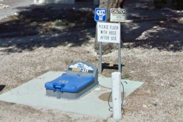
Entrance to the Streaky Bay Park Free Dump Point Streaky Bay Park Free Dump Point location map
Stuart Mill South Rest Area
Entrance to the Stuart Mill South Rest Area Stuart Mill South Rest Area location amp
Sturt Creek Rest Area
Sturt Creek Rest Area location map
At the Sturt Highway Rest Area you can pull off the asphalt onto the gravel area on both sides of the Sturt Highway. There is a public toilet on the eastbound side, and undercover picnic tables and rubbish bins on both sides. So if you are a bit on the t ...
Read More...
Suggan Buggan Campground
When going to Suggan Buggan Campground, be a bit wary if you intend to take a caravan to this place, it is a bit hilly, Once there pop over and have a look at the Old Schoolhouse, remember to take your camera with you.
Entrance to the Suggan Buggan Campg ...
Read More...
Sullivan Rock Rest Area
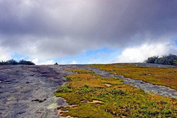
Entrance to the Sullivan Rock Rest Area Sullivan Rock Rest Area location map
Sullivans Lookout Rest Area
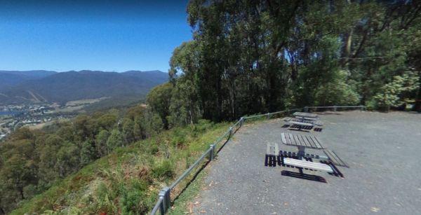
The Sullivans Lookout Rest Area has plenty of parking area to accommodate the largest rigs with a wonderful view of Mt Beauty in the distance. It's well worth the stop if your on the Tawonga Gap Road to Falls Creek.
Entrance to the Sullivans Lookout Rest ...
Read More...
Sun City Caravan Park
Entrance to the Sun City Caravan Park Sun City Caravan Park location map
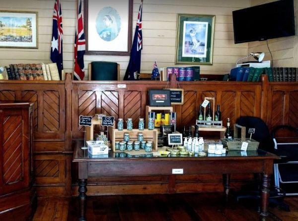
The Sunbury Visitor Information Centre is set up in the old Petty Courts building, so a bit of history associated with the building, the judge's table a witness and accuser box is still there, so this place has a bit of charisma.
Entrance to the Sunbury ...
Read More...
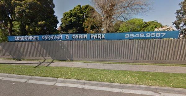
Sundowner Caravan & Cabin Park
Entrance to the Sundowner Caravan & Cabin Park Sundowner Caravan & Cabin Park location map

