Directory: A-Z
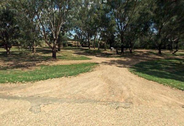
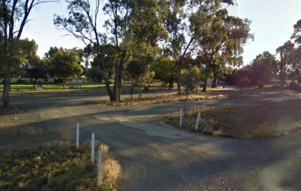
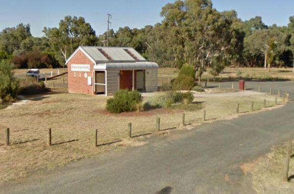
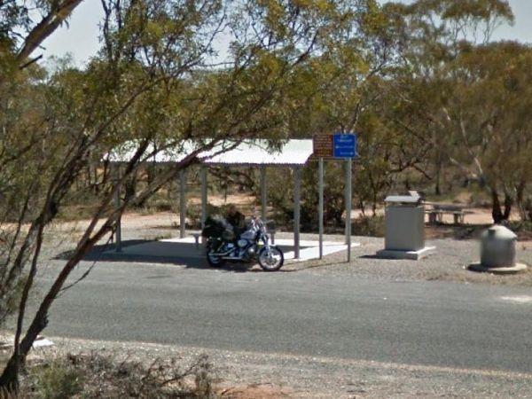
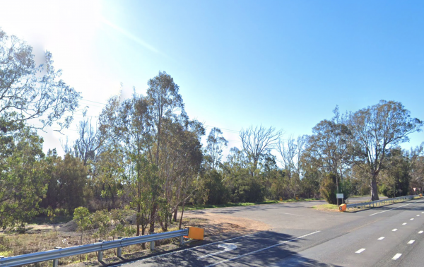
Stanley Rest Area 24 Hour Limit
Starlings Gap Camping Area
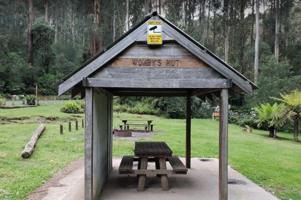
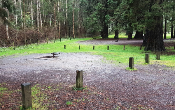
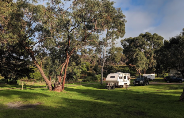
The Starlings Gap Campground has 5 designated fire pits and two long drop toilet, picnic tables and you're surrounded by amazing trees and great views. is a bit of a tight squeeze if a few vehicles are there at the same time. The hardest part is finding a ...
Read More...
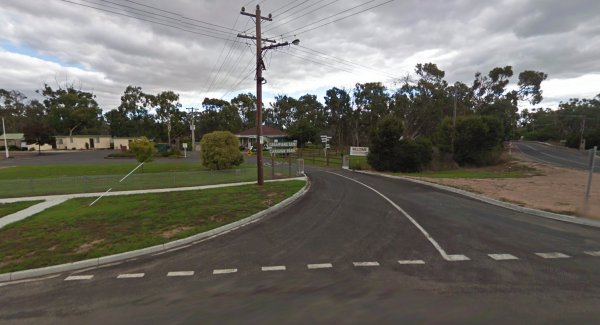
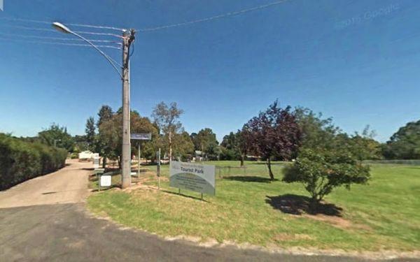
Entrance to the Stawell Grampians Gate Caravan Park
Stawell Park Caravan Park
Entrance to the Stawell Park Caravan Park Stawell Park Caravan Park location map
Stawell Visitor Information Centre
Stawell Visitor Information Centre has angle parking along street makes it illegal for Caravans and Big Rigs, You've been warned.
Stevenson Falls Scenic Reserve Rest Area
The Stewarts Crossing Camping Area is a large camping ground on the Shoalhaven River to the north of Braidwood. There are long drop toilets and lots of spots to camp. This is a rather sandy area so 4x4 if towing a lightweight van is a good idea.
Generall ...
Read More...
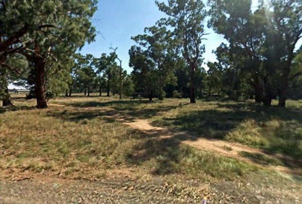
Stockmans Reward Camping Ground is a well set up camp ground with fire pits and a long drop toilet sand good access to water at Arnold Creek. There is a fair amount of suitable areas to camp at. You can get a small camper trailer in, but it's more suited ...
Read More...
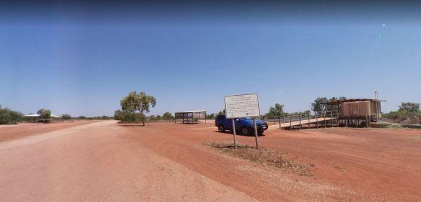
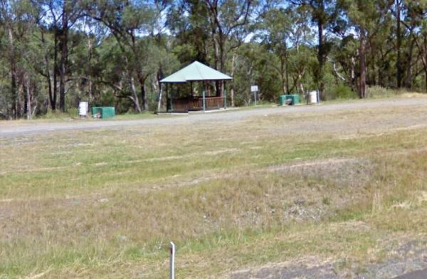
At the Stockwell Rest Area there is not a lot to do apart from take a short break from driving for a few minutes.
Stockyard Creek Rest Area
The Stockyard Creek Rest Area is located on the corner of Oxley Highway and Stockyard Creek Road, between Port Macquarie to Walcha. Its not the largest place to park your caravan but ample room to turn around if needed. There are public toilets, undercove ...
Read More...
Stockyard Plain Rest Area
The Stockyard Plain Rest Area has an undercover picnic table and rubbish bins, with reasonably level ground to park your caravan but with limited shade. It's a slightly elevated area running alongside the Sturt Highway so you can expect a bit of traffic n ...
Read More...
Stony Point Caravan Park
Stony Point Caravan Park location map. width="100%" height="500" frameborder="0" style="border:0" allowfullscreen>
Straneys Bridge Camping Area
When stopping at the Straneys Bridge Camping Area, apart from fishing or a rest from driving there's not much else to be had here.
Entrance to the Stratford Top Tourist Park Stratford Top Tourist Park location map
