Directory: A-Z
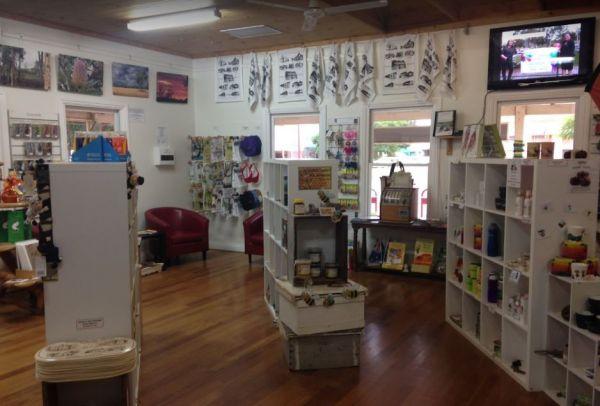
Entrance to the Toodyay Visitor Information Centre Toodyay Visitor Information Centre location map
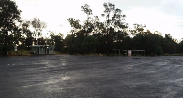
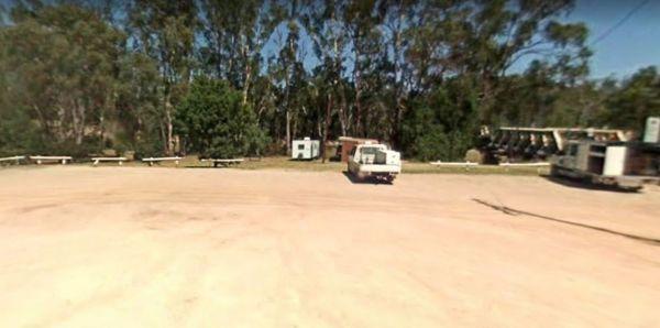
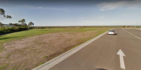
Tookey Creek Rest Area is a large bitumen parking area
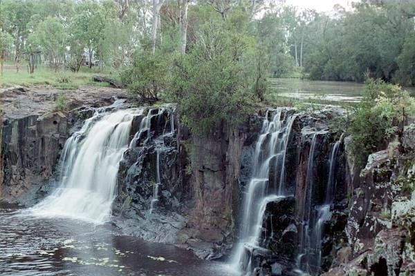
Tooloom Falls Camping Area
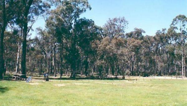
The Tooloom Falls Camping Area has a drop toilet and some basic facilities, with the main attraction being the waterfall. There’s a few picnic benches dotted around (some covered) and also fire pits. Tooloom Falls Camping Area location map
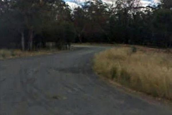
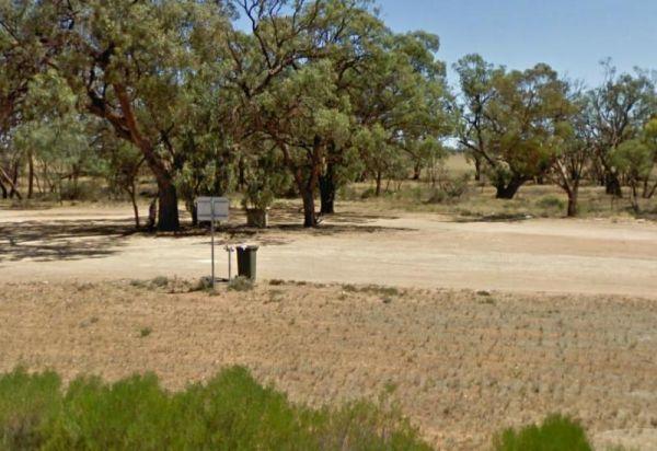
The Toomingley North Rest Area has plenty of spots to park the caravan for an hour or two, and a few trees for shade, there are picnic tables and rubbish bins located along this asphalted area.
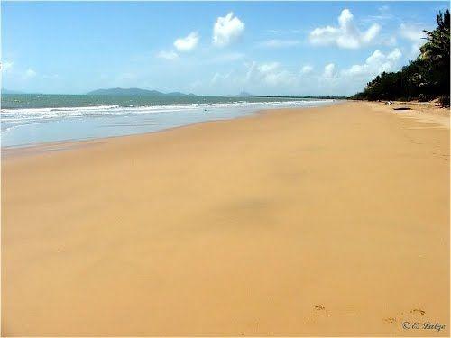
The Toomulla Beach Foreshore Reserve is located in Toomulla which is a small township approximately 47 kilometres north-east of Townsville, Queensland, Australia. At the 2006 Census, the population of Toomulla was 141. Located 2 kilometres north of the Br ...
Read More...
Entrance to the Toora Tourist Park Toora Tourist Park location map
Tooraweenah Rest Area
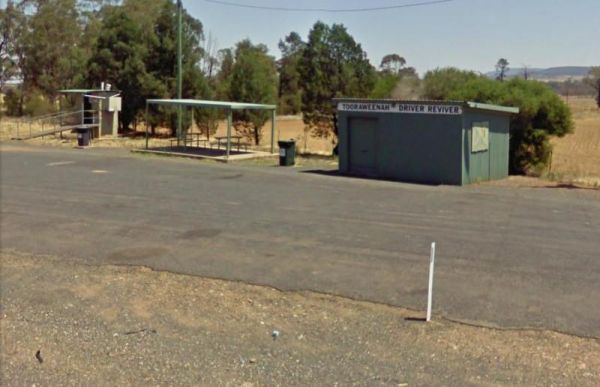
Tooraweenah Rest Area is a strip of asphalt with public toilets, undercover picnic tables and rubbish bins with nice views of the mountains in the distance.
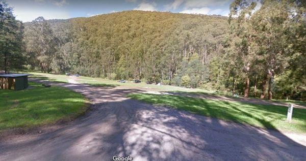
The Toorongo Falls Camping Area provides bush camping sites near the Toorongo River. Camping sites are available on a first come, first served basis and no booking is required.
Directions: From the Noojee Township head east for 4kms, then turn left onto ...
Read More...
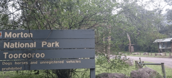
The Toorooroo campground is free to camp in, but require a national parks pass to park vehicles in the national Park. There is a drop toilet a short walk from the camping area.
Note: This is a small campground with 3 camping spots, for tents and RV's und ...
Read More...
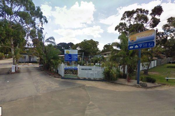
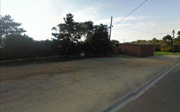
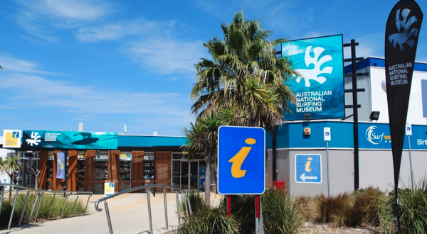
Torquay Visitor Information Centre it's not easy for parking Caravans and Big Rigs, your best bet is to park on Beach Road, and walk over.
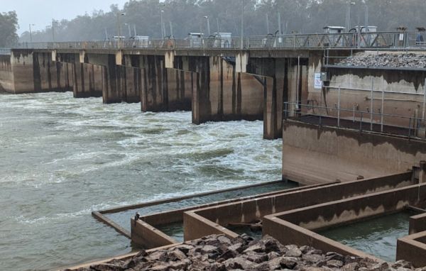
The Torrumbarry Weir Camping Area is a great place for fishing, swimming or boating. This is a bush camp with plenty of spots to choose from, and not far from the Murray River. Be sure to pop over to the Weir gates and learn the history on how the weir wa ...
Read More...
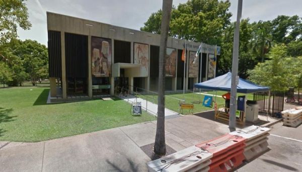
Tourism Top End Open Hours: Weekdays: 8.30am to 5.00pm Weekends: 9.00am to 3.00pm
