Directory: A-Z
Towong Reserve Camping Area
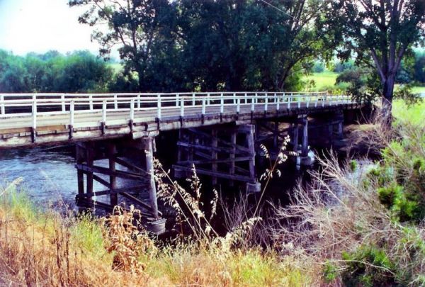
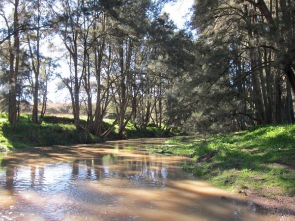
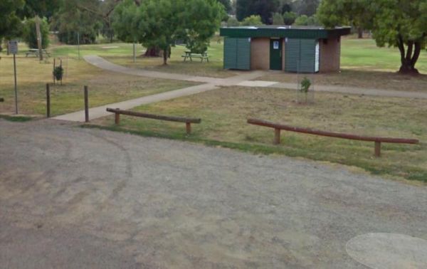
The Towong Reserve Camping Area is located next to the Murray River with some trees for shade and a large grassy area, this a nice spot to try your hands at fishing in the Murray River.
Trial Bay Gaol campground
At Trial Bay Gaol Campground the camp kitchen and toilets were very clean, hot showers are also available but on a timer. The unpowered sites are right on the beachfront, with the occasional kangaroo grazing nearby. There are also a few powered sites avai ...
Read More...
Trowunna Wildlife Park
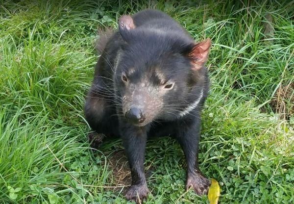
The Trowunna Wildlife Park is a privately owned wildlife sanctuary. Open 9am - 5pm everyday Closed Christmas Day
Tullibigeal Pioneer Park Rest Area
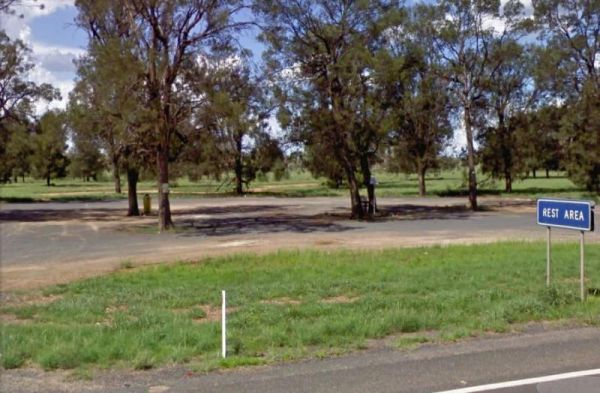
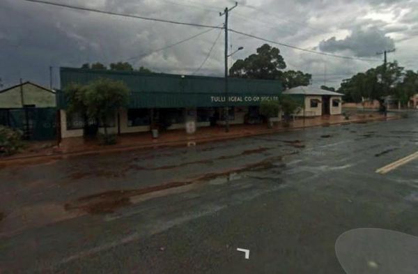
The Tullibigeal Pioneer Park Rest Area is directly opposite the Co Op, so you can stock up on essential supplies, or walk up the road for a take away meal. P.S. You will need a long leads if you intend to use the free power at this site. (30 metre)
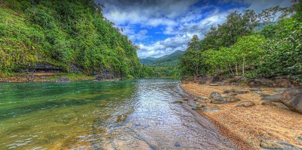
You will need Camping permits to stay at Tully Gorge National Park Camping grounds, they are available both online and at the park. We advise you book in advance to avoid disappointment. Generator use is permitted between 9.00 am and 12.00 noon and only i ...
Read More...
Tumbling Waters Holiday Park
At the Tumut Park Rest Area you can take a short stroll around the Park and stretch your legs. There are plenty of places to pull over and take a break from driving.
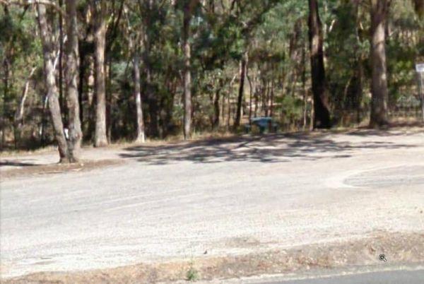
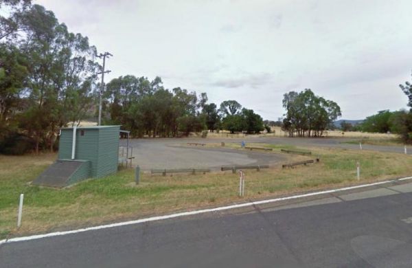
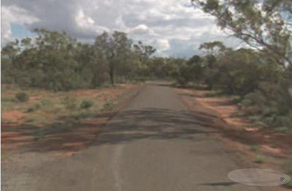
The Tuncoona Rest Area is on the way to Bourke set back a fair distance from the Mitchell Highway. There are some trees for shade and rubbish bins.
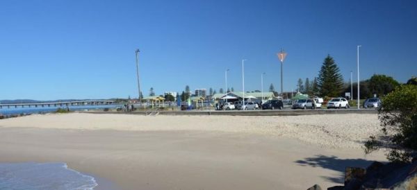
Tuncurry has gone though a few name changes since 1875 when the first land grant was established, and was originally called North Shore, then North Forster, and now its known as "Tuncurry", meaning "plenty of fish"
Tuncurry Chinese Restaurant, 110 Ma ...
Read More...
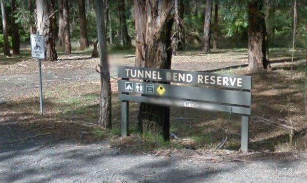
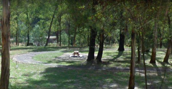
Tunnel Bend Camping Area
The Twelve Mile Reserve Camping Area has level camping areas, with long drop toilets and good access to the Goulburn River where it's safe to swim. This is a place to test out the kayak, or have a go at some fishing.
Twin Dolphins Holiday Park has a nice swimming pool and camp kitchen, new amenities and spacious powered sites. It has lots of cycle paths that take you right to shops, bushland or the beach
Tuncurry Chinese Restaurant, 110 Manning Street
Royal India ...
Read More...
Two Mile Creek camping ground
Two Mile Creek camping ground is 7kms from Dargo, via the Dargo - Omeo Road beside creek and winding dirt road. There is a drop toilet, but you will need to bring everything else you need.
