Directory: A-Z
Visit the National Zoo & Aquarium Canberra
Experience Wildlife Up Close in the Nation’s Capital
Located just minutes from the city centre on the banks of Lake Burley Griffin, the National Zoo & Aquarium offers one of Australia’s most extraordina ...
Read More...
Welcome to the Canberra and Region Visitors Centre
Your Gateway to the Nation's Capital at Regatta Point
Note: The Visitor Centre has relocated from Northbourne Avenue to the Regatta Point precinct.
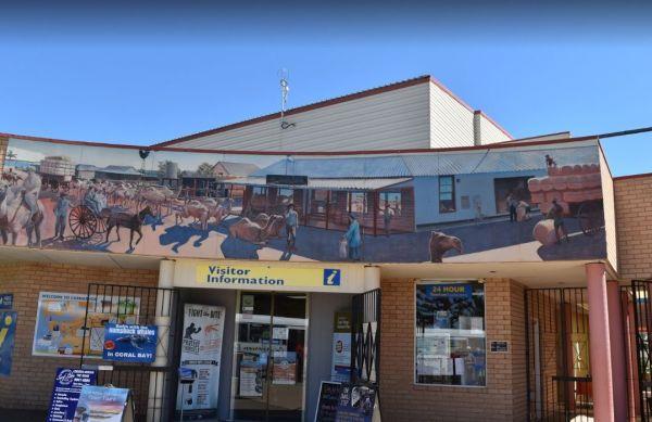
Situated at the picturesque Regatta Point, the Canber ...
Read More...
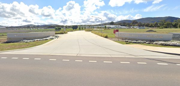
Canberra Park Gungahlin - Modern Gateway to the Capital
Canberra Park, located at 26 Old Well Station Road in Gungahlin, stands as one of the newest and most purpose-built accommodation precincts in the Australian Capital Territory. Strategically p ...
Read More...
Canberra South Motor Park (Southside Village) - Symonston ACT
Canberra South Motor Park, widely known today as Southside Village Caravan Park, offers a convenient and affordable accommodation option for travellers visiting the Australian Capital Te ...
Read More...
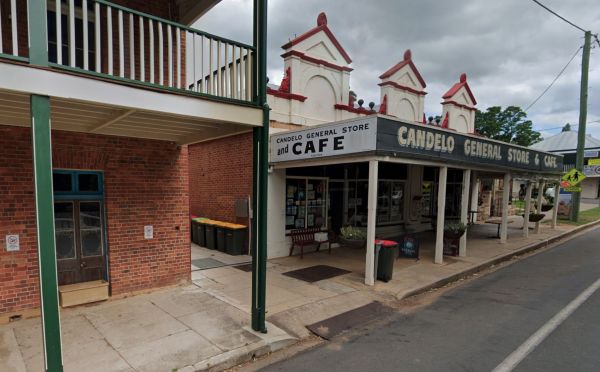
The Candelo Rest Area has a Sunday Market and public toilet close to a children's playground that's worth visiting, plus a good general store and café directly opposite so you can easily restock your pantry, plus a public phone-box.
The Cane River Rest Area located on the banks of the Cane River, close to the road is level with no shade to park your caravan, but you can go inland a bit further away from the highway, for a bit more privacy. Managed by Parks and Wildlife - NO CAMPING P ...
Read More...
Cania Gorge Tourist Retreat do not permit Portable Generators to be used in the Park.
Cann River Rainforest Caravan Park: A Free Stopover in the Wilderness
Cann River Rainforest Caravan Park, also known as Cann River Rainforest Campground, offers a tranquil and free stopover for travellers. Nestled on the banks of the Cann River, right on ...
Read More...
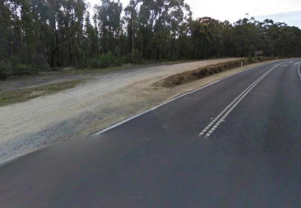
The Cann River Rest Area is a long slightly raised gravel area running alongside the Princes Highway, Not much to do here, apart from take a power nap, and then be on your way again.
Cape Conran Coastal Park
Escape to the natural beauty of Cape Conran Coastal Park, a sprawling coastal wilderness spanning 11,700 hectares in East Gippsland, Victoria. Situated near Marlo, approximately 396 km from Melbourne, this park offers a diverse l ...
Read More...
Cape Liptrap - Bear Gully Camping Area has a long drop toilet, lots of wildlife around, and you can sleep to the sound of waves crashing on the beach. Mostly rock beaches so not ideal for swimming, but there are some nice rock pools to explore.
There are ...
Read More...
The Clarence Pirie Memorial Park has public toilets and rubbish bins and is next door to the Capertee Rest Area, with a children’s playground. You can also take a short stroll around town quite easily and be back in next to no time a all.
The Caragabal Rest Area has a small area to park on with a public toilet and no shade, you can take a walk down the street to stretch your legs and maybe make a phone call from the telephone box.
The Carcoar Dam Water Reserve Camping Area has onsite power is supplied for Hair dryers and Shavers the outlets are in the Amenities Block.
Note: The available showers are not heated, so be forewarned if you intend to have a shower in the middle of winte ...
Read More...
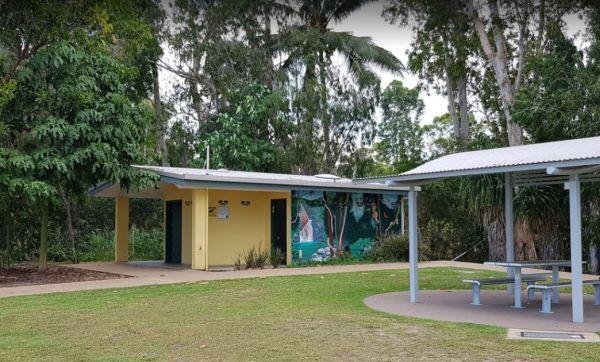
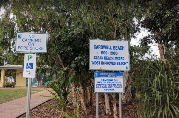
The Cardwell Park Rest Area is a nice place for a break from the road or for a picnic. There is soft grass, shady trees, picnic shelters and tables and you can take a stroll along the beach, and take in the sea air for an hour or two.
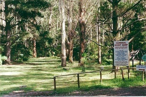
Caringal Scout Camp - Tanjil Tyers State Forest Located 29kms NE Moe or 2kms south of Erica, 7km dirt road.This camp is surrounded by natural bush and is set on the Tyers River.Open to the public year round for camping and day access.Note: A small fee app ...
Read More...
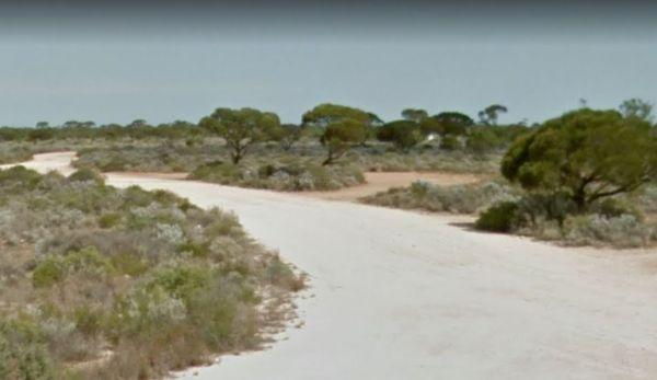
The Carlabeencabba Rockhole Rest Area has no facilities apart from a public phone and picnic tables and reasonably level ground to park your caravan on. This rest area is set back approximately 500 metres from the Eyre Highway.
Open Hours:
JUNE - OCTOBER
Monday to Friday – 9am – 5pm
Saturday – 9am – 12pm
Sunday (June to October only) – 9am to 12pm
NOVEMBER - MAY
Monday to Friday – 9am – 5pm
Saturday – 9am – 12pm
Sunday – Closed
Christmas to New Years - Clos ...
Read More...
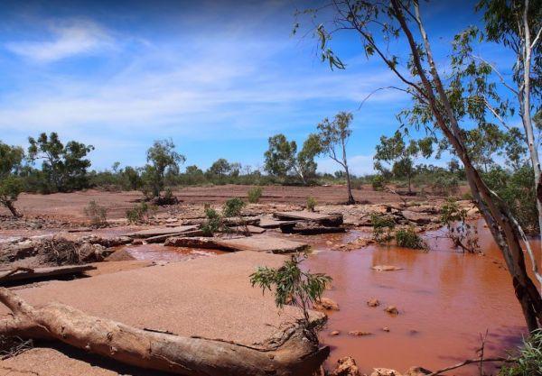
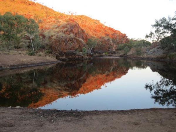
The Caroline Pool Rest Area, is a nice naturally formed water hole, so make sure you have your camera on hand to capture the wildlife at dusk coming to drink. The water level varies depending on drought conditions.
Turn off Duncan Road at GPS -18.240968, ...
Read More...


