Directory: A-Z
The El Arish Rest Area is on the banks of the Digger Creek, you can try your luck at catching a fish in the small creek that runs along the rest area.
Ellenborough Reserve Camping Area 14 Day Limit
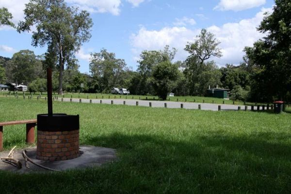
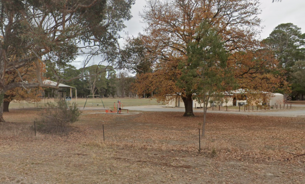
The Ellenborough Reserve Camping Area is a nice grassy area where the Hastings and Ellenborough Rivers meet. It's a rather nice spot to spend a few hours or days simply relaxing.
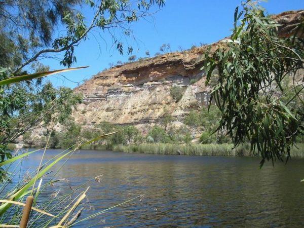
The Ellendale Pool Camping Area is an excellent peaceful camp over well worth the stop, bitumen road for most of the way and approximately 1.3km dirt road. It's incredibly affordable and has flushing toilets a Gas bbq, Rubbish Bins a shaded seating area. ...
Read More...
Ellendale Rest Area 24 Hour Limit
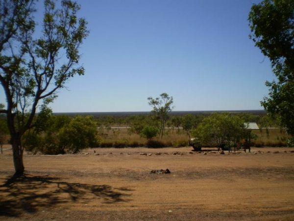
The Ellendale Rest Area is gravel surface with no shade, set back approximately 300 metres from the main road. There are public toilets with a black water dump point, fireplaces, and undercover picnic tables with plenty of room to park your caravan or mot ...
Read More...
Ellis Bridge Rest Area 24 Hour Limit
Ellis Bridge Rest Area is on the banks of the Mitta Mitta River and it's a nice place to take your camera over to the bridge over the King River, and grab a nice photo to remember this place by.
Emmdale Roadhouse Camping Area is an oasis approx 100 k's east of Wilcannia, it's a good place to stop for a break. It's a roadhouse with camping and showers and toilets.
Fuel prices are very competitive
Entrance to the Emmdale Roadhouse Camping Area ...
Read More...
Emu Bight Camping Area - The Lakes National Park
Emu Bight Campground National Park you must bring your own drinking water, there are fireplaces and bbqs. Fires may only be lit in the fireplaces provided and Campers are required to bring their own firewood. Pop your kayak in tho the lake and enjoy the b ...
Read More...
The Endrick River Crossing Rest Area is good for fishing with plenty of images waiting to be captured with your camera.
The English's Bridge Camping Area is a great campsite by the Campaspe River, with good swimming area near bridge boat ramp. There is plenty of level ground for RV's or caravans. It's best to be self contained if camping here as there are no amenities, and ...
Read More...
The Ensay South Rest Area is on the banks of the Tambo River you will pretty much get this place all to yourself.
The Escort Rock Rest Area is a nice little spot off the main road, with plenty of shade to be had. There are undercover picnic tables, fireplaces with bbq facilities, rubbish bins and a few tracks that lead into the scrub, but make sure you know where you ...
Read More...
