Directory: A-Z
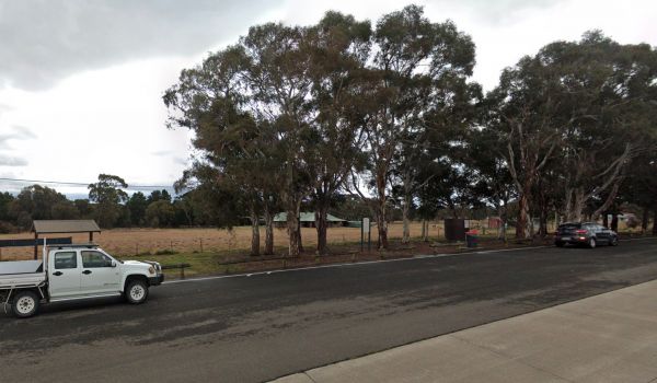
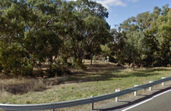
Entrance to the Goulburn River Rest Area Goulburn River Rest Area Location Map
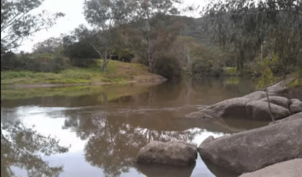
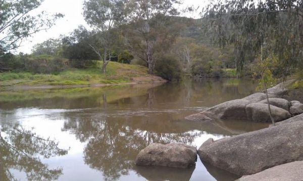
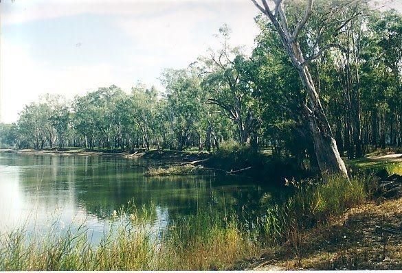
The Goulburn River Rest Area is a place to take a break from driving and maybe catch a fish for dinner. It's a nice spot to have a rest, and take a few photos while exploring the Goulburn River.
Entrance to the Goulburn River Rest Area
Goulburn River ...
Read More...
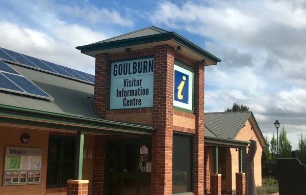
The Goulburn Visitor Information Centre has a Playground in the Park OppositeOpen Hours:Monday to Friday 9am-5pmweekends & public holidays 10am-4pm
Entrance to the Goulburn Visitor Information Centre
Goulburn Visitor Information Centre location ma ...
Read More...
Goulet Bluff Rest Area 24 Hour Limit
The Goulet Bluff Rest Area is a nice open area, with plenty of room for caravans to park here. You need a permit from the discovery centre, or ring the number on the sign. This is a very popular spot, so booking is a must if you intend to stay here.
Entr ...
Read More...
Governors Bend Rest Area
The Governors Bend Rest Area is a bit tight for caravans with not a lot to do apart from taking a break from driving. Entrance to the Governors Bend Rest Area Governors Bend Rest Area location map
The Gowan North Rest Area is on the verge of the Newell Highway with a public toilet, undercover picnic tables with some rubbish bins, and has quite a few spots to pull over along this stretch of road, fishing and dropping the kayak in to the river come t ...
Read More...
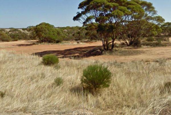
The Goyder's Line Memorial Rest Area, is a gravel area just off the Eyre Highway. The rest area itself is nothing special, but it does have room to park your caravan. There is a memorial plaque dedicated to George Woodgroff Goyder. He surveyed a line on t ...
Read More...
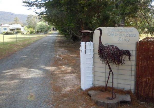
Entrance to the Grampians Old Man Emu Stay Grampians Old Man Emu Stay location map
Grampians Paradise Camping Caravan Parkland location map
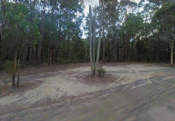
Granite Creek Rest Area is a bit of a squeeze for big rigs so be aware of this if you intend to stop and have a BBQ here. Entrance to the Granite Creek Rest Area Granite Creek Rest Area location map
Entrance to the Granite Creek Rest Area Granite Creek Rest Area location map
The Grannys Flat Camping Area has a few 4x4's tracks to check out. There are no built fireplaces at this site, so please use a previous campfire site and clean up afterwards. This is a nice place on the Jamerson River, for those of you who enjoy fishing e ...
Read More...
The Granthams Bend Camping Area is close to town, you only need to simply cross the bridge over the Murray River into N.S.W. This campsite is a rough Bush camp, where you need to bring everything you need, and take your rubbish with you when you leave.
E ...
Read More...
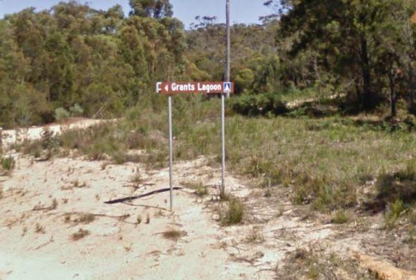
Grants Lagoon Camping Area 30 Day Limit
Grants Lagoon Camping Area is a nice Bush camp with some drop toilets inside the Bay of Fires Conservation Area, with a boat ramp if you need it, plus it's a nice kayaking area as well.
Entrance to the Grants Lagoon Camping Area
Grants Lagoon Camping ...
Read More...
Grantville - Picnic BBQ Area
Entrance to the Grantville - Picnic BBQ Area Grantville - Picnic BBQ Area location map
Grass Trees Rest Area Northbound Entrance to the Grass Trees Rest Area Northbound Grass Trees Rest Area Northbound location map
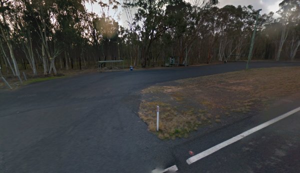
The Gratwick VC Rest Area is on an asphalt surface running adjacent the Federation Highway. There are a few trees for shade, undercover picnic tables and Entrance to the Gratwick VC Rest Area Gratwick VC Rest Area location map
Gre Gre South Rest Area
The Gre Gre South Rest Area has the Avon Creek runs behind this location but hardly any water in it. But worth a look with your camera in hand. Entrance to the Gre Gre South Rest Area Gre Gre South Rest Area location map
Entrance to the Great Aussie Holiday Park Great Aussie Holiday Park location map
Great Western Rest Area
Entrance to the Great Western Rest Area Great Western Rest Area location map
