Directory: A-Z
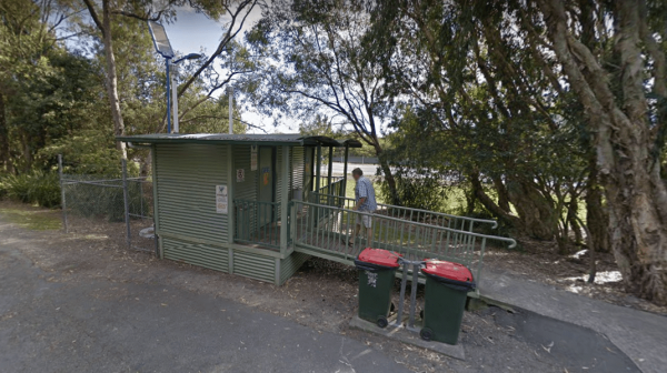
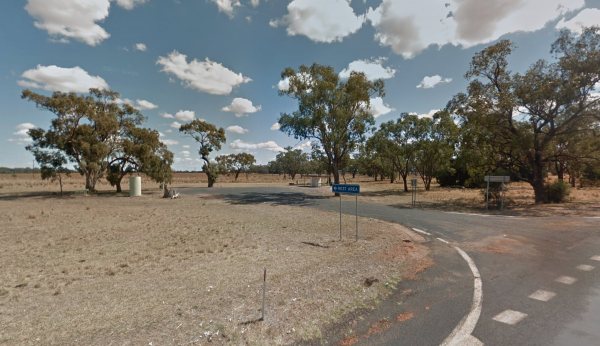
Entrance to the Wardell Rest Area (Southbound) Wardell Rest Area (Southbound) location map
 ,
,  ,
,  ,
, 
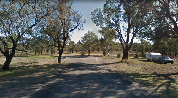
The Warialda Creek Rest Area has a few trees and birds to keep you company, and not much else at this location. Entrance to the Warialda Creek Rest Area location map Warialda Creek Rest Area Location Map
,
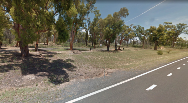
When stopping at the Warialda Rotary Park Rest Area check out the walking tracks and take your camera with you. Entrance to the Warialda Rotary Park Rest Area location map Warialda Rotary Park Rest Area Location Map
,
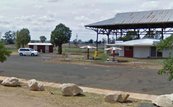
Entrance to the Warra Rest Area Warra Rest Area location map
,  ,
,  ,
,  , ,
, ,
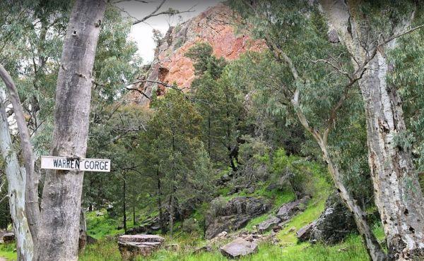
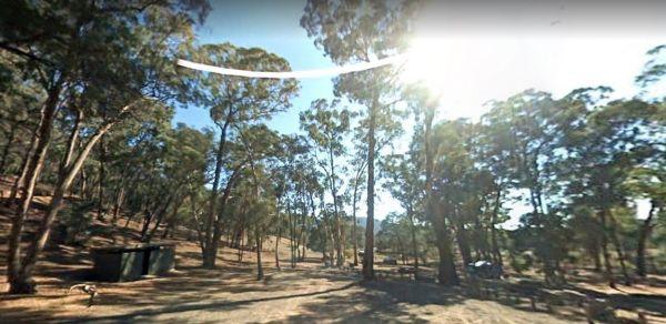
The Warren Gorge Camping Area has public toilets, and fireplace bbqs. and is run by the local council and for a nominal fee placed in the donation box. Warren Gorge Camping Area location map
, , ,
Entrance to the Warren North Rest Area Warren North Rest Area location map
Warren Park Rest Area
Entrance to the Warren Park Rest Area Warren Park Rest Area location map
, ,  ,
,  ,
,  ,
,
The Warri Camping Reserve is a great area to camp close the Shoalhaven River with some road noise during the day but quiet at night.
Access to some sites are better suited to off road setups, but there are plenty of sites accessible for most. The campgro ...
Read More...
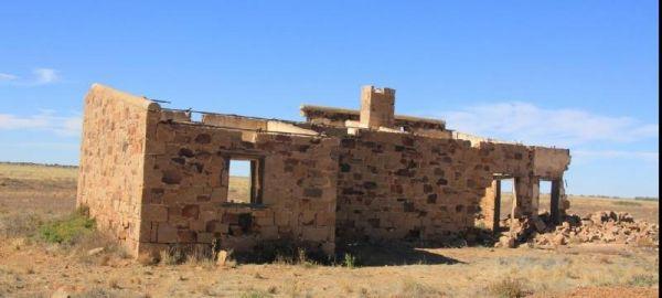
Warrina Siding
The Warrina Siding is an easy walk to the Old Ruins, and this rest area is a short distance from the Oodnadatta Track, but make sure you are well stocked with water, fuel and food, as this is an unforgiving area you are visiting, it's always advisable to ...
Read More...
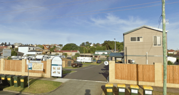
Warrnambool Claremont Holiday Village
Entrance to the Warrnambool Claremont Holiday Village Warrnambool Claremont Holiday Village location map
, ,  ,
,  , ,
, ,  ,
,  ,
, 
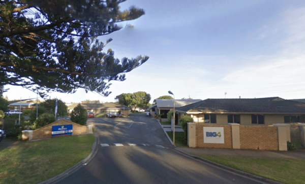
Warrnambool Discovery Holiday Parks
Entrance to the Warrnambool Discovery Holiday Parks Warrnambool Discovery Holiday Parks location map
, , ,  ,
,  ,
,  ,
,  , , , ,
  ,
,
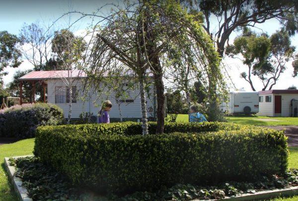
Warrnambool Holiday Park
Entrance to the Warrnambool Holiday Park Warrnambool Holiday Park location map
, , , ,  , ,
, , 
Warrnambool Visitor Information Centre
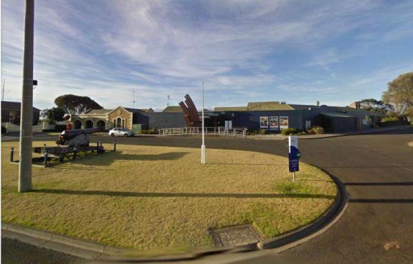
Warrnambool Visitor Information Centre has angle parking for Caravans and Big Rigs available in the adjacent Car Park. Entrance to the Warrnambool Visitor Information Centre Warrnambool Visitor Information Centre location map
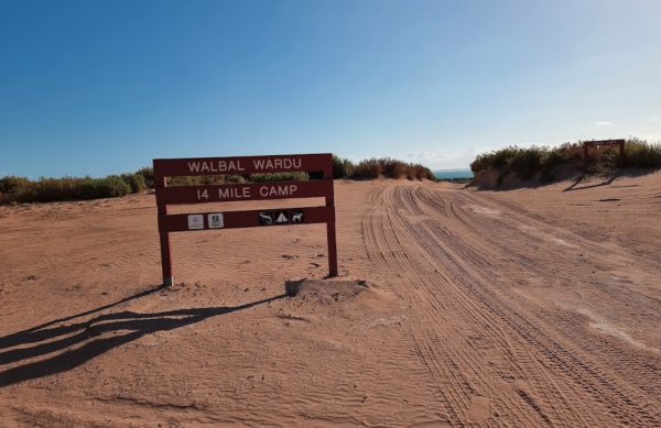
Warroora Station 14 Mile Beach has very reasonable prices to camp directly on the foreshore and there is a boat ramp if you need it. Warroora Station 14 Mile Beach Location Map
Warrow North Rest Area
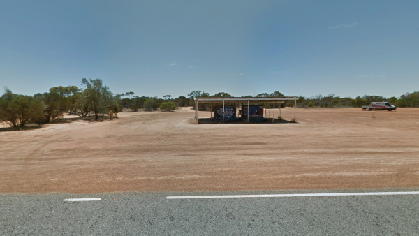
The Warrow North Rest Area has an undercover picnic table, and a few rubbish bins, and room to park your caravan on a large gravel surface, on the corner Ulina Lane and Flinders Highway. There is
Entrance to the Warrow North Rest Area
Warrow North Res ...
Read More...

The Wartook Forest Camping Area has quite a few Rough spots to camp at for the more adventurous out there. BYO Everything and take your rubbish away with you. Entrance to the Wartook Forest Camping Area Wartook Forest Camping Area location map
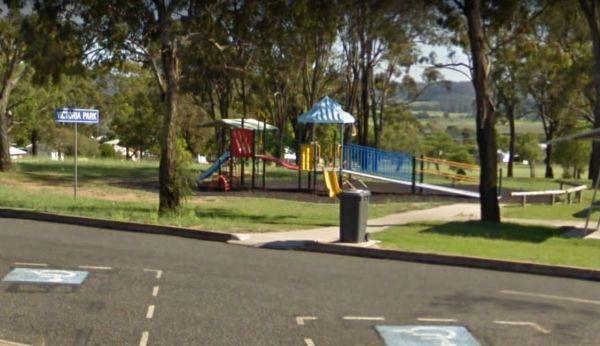
The Warwick Victoria Park Rest Area is on large flat bitumen area with grassy areas and plenty of room to turn around big rigs. There is a wood-fired bbq, public toilet with wheelchair access, and a childrens playground.
Entrance to the Warwick Victoria ...
Read More...
, , , ,
Entrance to Water Tanks Rest Area Water Tanks Rest Area Location Map
, , , ,
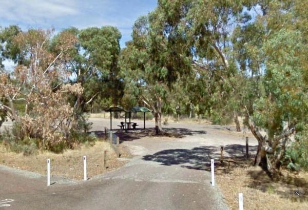
The Waterfalls Picnic and Campground has quite a few hiking tracks to choose from, including an 18 km Pyrenees Endurance Walk for the more energetic amongst us.
Entrance to the Waterfalls Picnic and Campground
Waterfalls Picnic and Campground location ...
Read More...
, , ,
Waterhouse Point Camping Area 30 Hour Limit
At the Waterhouse Point Camping Area, you can relax and listen to the waves break on the sandy shore. Then grab a bite to eat and head off with your beach fishing gear, and camera of cause.
P.S. The water is quite shallow close to shore. So I suggest you ...
Read More...
, ,