Free Camping

List of South Australia Free Camping and Campgrounds
Free camping is an extremely cost effective way to explore the South Australia countryside.
There are so many free camping places to choose your perfect camp from.
Ranging from the very basic rough and ready bare bones camping, perhaps amazing scenery, beautiful riverside camps, right through to flushing public toilets and hot showers, drinking water, free bbqs, undercover picnic tables etc.
Please Add Missing Free Camping Areas 📖
Please Add, any Free Camping Areas in South Australia that we don't already have listed 😉OR, you can Contact Admin and they can Add it for you.
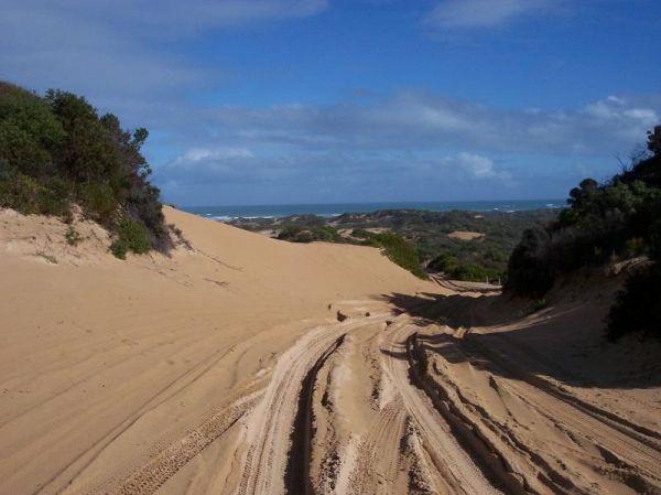
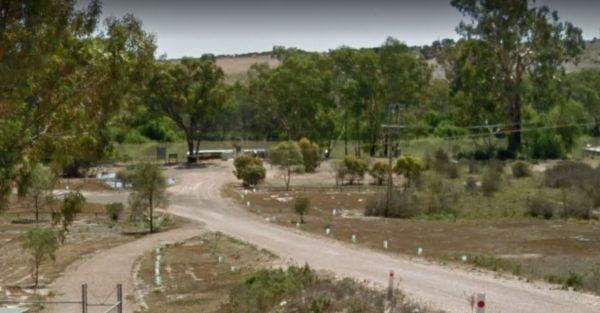
Getting to the 42 Mile Crossing Campground is recommended 4 wheel drive, so don't try to get to this area with a two wheel drive, unless it's a motorbike that is. hahaha
Entrance to the 42 Mile Crossing Campground
42 Mile Crossing Campground location ...
Read More...
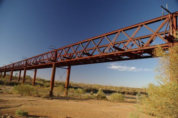
Algebuckina Bridge
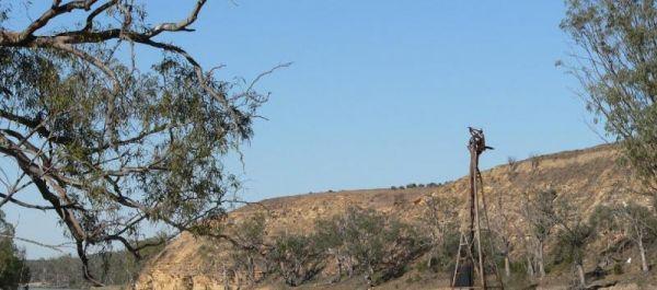
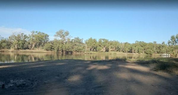
The Algebuckina Bridge has lots of places to select from some with low trees, you will need your levelling blocks for most of the sites. 4X4 vehicle prefered transport for this remote local.
Entrance to the Algebuckina Bridge
Algebuckina Bridge locati ...
Read More...
Anna Creek Siding
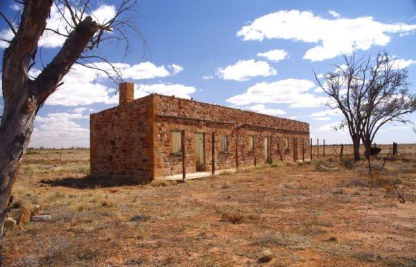
At the Anna Creek Siding you'll see some old buildings that are in quite reasonable shape, and a tent can be pitched inside them as well as the chimney used as a cooking area if needed. Anna Creek Siding location map
The Appealinna Ruins is an interesting spot to spend a few minutes looking over what's left of the foundations. The ruins are on your left hand side when you reach the roundabout at the end of the road.
Appealinna Ruins 360
Entrance to the Appealinna ...
Read More...
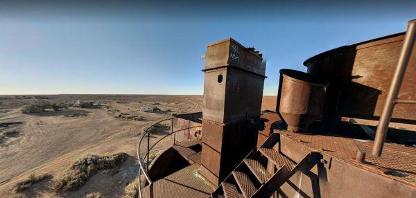
When visiting the Beresford Railway Siding Ruins it is recommended to take extreme care when visiting these places, have plenty of water and spare fuel with you, and let someone know you will be heading in case of an emergency.
Beresford Railway Siding R ...
Read More...
The Big Bend Camping Area has mobile phone coverage, lots of fishing spots and a few level spots along the Murray River to camp at all with rivergums, and a riverfront view. Entrance to the Big Bend Camping Area Big Bend Camping Area location map
Carrow Wells Campground
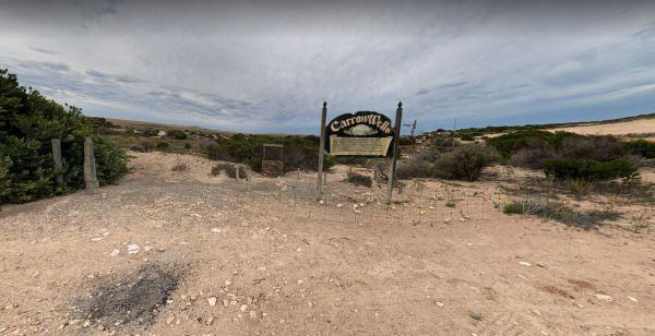
The Carrow Wells Campground is very close to a beautiful beach, with a public toilet, and it's a short distance from the North Coast Road, and is a gravel surface.
There is an interesting sign explaining the history of the site and its link to the Aborig ...
Read More...
Fitzgerald Bay Camping Areas
The Fitzgerald Bay Camping Areas has quite a few spots available in designated areas, look for the signs pointing you in the right direction to the campsites. Fitzgerald Bay Camping Areas location map
Heron Bend Camping Area
At the Heron Bend Camping Area you can pop into the pub while your there, and check out the conditions before you head down the dirt road.
Note: Dogs must under owners control at all times.
Entrance to the Heron Bend Camping Area
Heron Bend Camping A ...
Read More...
Hettner Landing Camping Area
When stopping at the Hettner Landing Camping Area you can pop into the Walker Flat General Store and stock up on food, drinks, and fuel, before popping into this camp site. GPS for store: -34.752985, 139.557238 You will find rock rings for fires & tab ...
Read More...
The Hogwash Bend Conservation Park is a great place to drop the kayak into the Murray River and paddle upstream a bit, or sit on the large sandy beach and try your luck at catching dinner.
Entrance to the Hogwash Bend Conservation Park
Hogwash Bend Co ...
Read More...
The Holder Bend Reserve and Boat Ramp has a nice concrete boat ramp to pop your kayak into the Murray River and remember to take your camera with you. Entrance to the Holder Bend Reserve and Boat Ramp Holder Bend Reserve and Boat Ramp location map
Kroehns Landing
Kroehns Landing is on the banks of the Murray River and a bit on the bumpy side of things, when trying to find level ground. Entrance to the Kroehns Landing Kroehns Landing location map
Martins Bend Riverside Reserve Camping Area
To find the Martins Bend Riverside Reserve Camping Area, follow Riverview Dr then turn onto Unnamed Road. Use GPS to find it more easily
Note: This site is more suited to smaller rigs or Tent Camping.
Martins Bend Riverside Reserve Camping Area location ...
Read More...
The Murtho Forest Landing Campground is very close to the Murray River. This is a basic bush camp and not a bad place to drop a fishing line. Entrance to the Murtho Forest Landing Campground Murtho Forest Landing Campground location map
Plenty of spots at the Narrung Jetty Reserve, all on a nice grassy area within easy walking distance of the waters edge. There are rubbish bins toilets and a water tap for washing dishes etc. NOTE: 72 Hour Limit for camping NOTE: 72 Hour Limit for camping ...
Read More...
North Tent Hill Rest Area
The North Tent Hill Rest Area has a few rubbish bins with plenty of room to park your caravan. This is a large gravel level area just off the Stuart Highway and shade is fairly limited to low shrubs with one covered picnic table.
Entrance to the North Te ...
Read More...
Parachilna Gorge Camping Area
The Parachilna Gorge Camping Area has plenty of spots to use your camera in this location, including a fairly easy walk along the walking track. Entrance to the Parachilna Gorge Camping Area Parachilna Gorge Camping Area location map
Entrance to the Perlubie Beach Camping Area Perlubie Beach Camping Area location map
Entrance to the Ramco Point Camping Area Ramco Point Camping Area location map
