Rest Areas

List of South Australia Rest Areas
South Australia Rest Area Information ℹ️
Rest Areas are not generally used for camping, they are meant for you to take a short break from driving, so you can refresh, and continue on your journey safely.
Please Add Missing Rest Areas 📖
Please Add, any Rest Areas in South Australia that we don't already have listed 😉OR, you can Contact Admin and they can Add it for you.
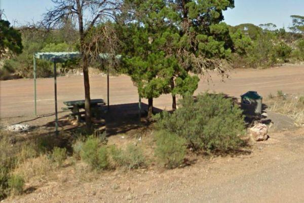
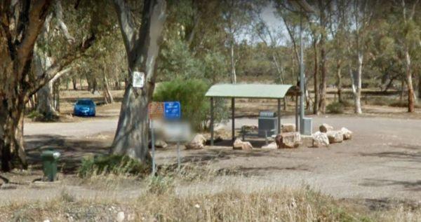
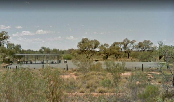
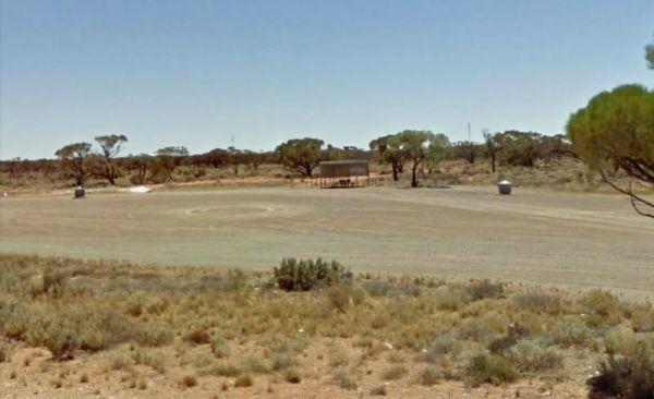
The Koongawa East Rest Area is another level area just off the main road spot, with plenty of room for all sized vans and motorhomes. There are a few tall trees for shade. along with undercover picnic tables and rubbish bins.
Entrance to the Koongawa Eas ...
Read More...
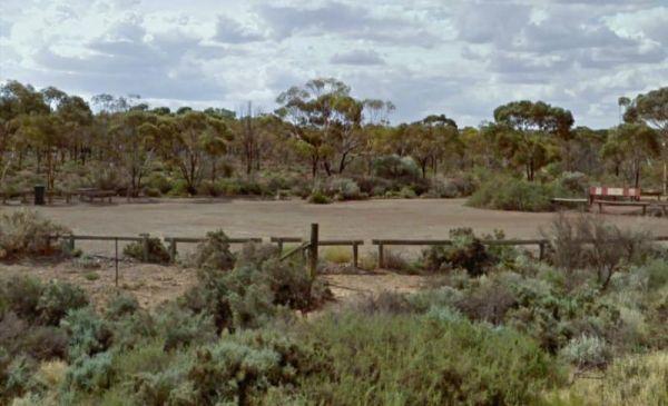
The Koonibba Rest Area has lots of room to park your caravan on a large level gravel area. There are some trees for shade and some rubbish bins and not much else. Entrance to the Koonibba Rest Area Koonibba Rest Area location map
Kromelite Road Rest Area
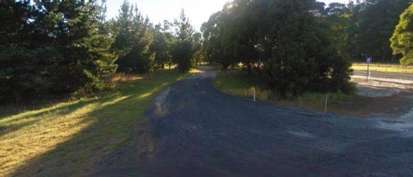
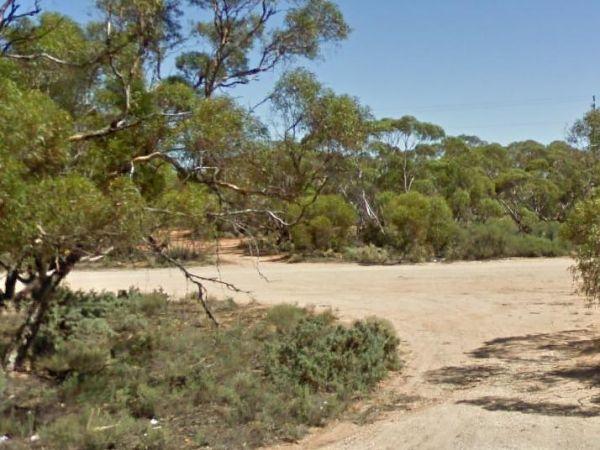
The Kromelite Road Rest Area is surrounded by forest and is a short distance from the the Princes Highway. There are tall trees for shade and a rubbish bin to keep you company.
Entrance to the Kromelite Road Rest Area
Kromelite Road Rest Area location ...
Read More...
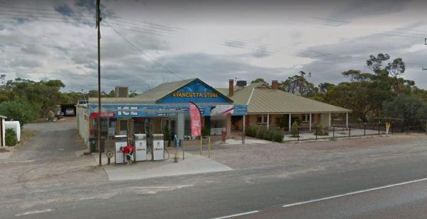
When stopping at the Kyancutta Rest Area you can have a look at the Old World War 2 Artillery Gun, make a call from the Phone box or walk to the General Store and pick up supplies should keep you occupied for a short time.
Entrance to the Kyancutta Rest ...
Read More...
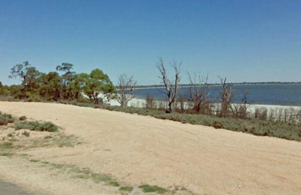
Entrance to the Lake Bonney Rest Area Lake Bonney Rest Area location map
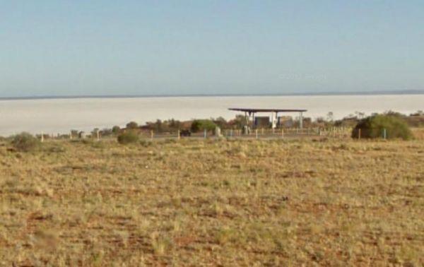
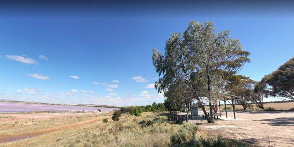
The Lake Hart Rest Area and Lookout is good for a break stop when driving down the Stuart Highway. You can stretch your legs, walking over to the salt pans.
There are picnic tables and rubbish bins here, and Don't get your hopes up if you want to go fish ...
Read More...
Leigh Creek Junction Rest Area
The Leigh Creek Junction Rest Area is located off a gravel road, just off The Outback Way, there are a few trees offering limited shade and rubbish bins and space to park your caravan.
Leigh Creek itself, is a former coal-mining town.
Entrance to the Le ...
Read More...
Lincoln Eyre Highway Junction Rest Area
Entrance to Lincoln Eyre Highway Junction Rest Area Lincoln Eyre Highway Junction Rest Area location map
Little Blue Lake Rest Area
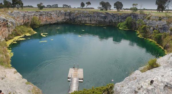
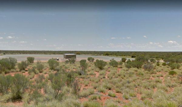
From the Little Blue Lake Rest Area a good path leads down to the water's edge where you will find a pontoon, check the warning sign as there is often a blue green algae growing in this limestone lake.
Entrance to the Little Blue Lake Rest Area
Little ...
Read More...
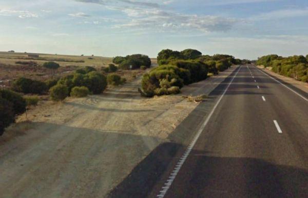
The Lochiel South Rest Area is reasonably level with a few trees offering limited shade, and no sound barrier between you and the Princess Highway.
P.S. Don't waste your time to go fishing, as there is nothing to catch here, and water levels vary dependi ...
Read More...
The Lyrup Turn Off Rest Area is right next to the Sturt Highway, you will hear all the road noise from passing cars and trucks. Entrance to the Lyrup Turn Off Rest Area Lyrup Turn Off Rest Area location map
Mambray Creek Rest Area
From the Mambray Creek Rest Area check out the Old rail bridge while your there, you'll find plenty of parking on both sides of the road. Entrance to the Mambray Creek Rest Area Mambray Creek Rest Area location map
Manna Hill Park Rest Area
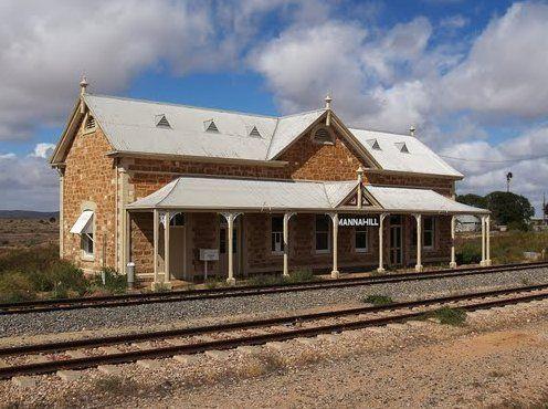
From the Manna Hill Park Rest Area pop over and take a photo of the railway station, it's a nice old stone building and take a look at the local museum its located in the Hotel Building.
Entrance to the Manna Hill Park Rest Area
Manna Hill Park Rest A ...
Read More...
The Marla South Rest Area has lots of nothing in every direction, but at least its level ground for the caravan. Entrance to the Marla South Rest Area Marla South Rest Area location map
Marryat Creek North Rest Area
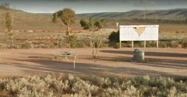
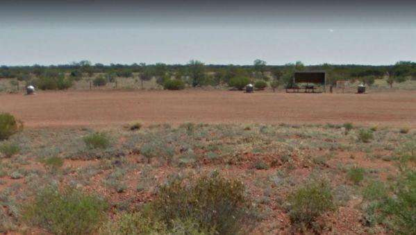
The Marryat Creek North Rest Area is Hot, Flat, Dry and desolate, it makes you wonder how anything can live in a place like this. There are undercover picnic tables, rubbish bins, tank water and plenty of off road parking for your caravan or motorhome.
E ...
Read More...
Marryat Creek Rest Area
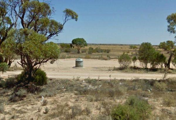
The Marryat Creek Rest Area has an emergency Phone and emergency rainwater tank to supply of Drinking water. There is lots of space for your caravan, you will find undercover picnic tables, rubbish bins to compliment this rest area.
Entrance to the Marry ...
Read More...
Maslin Rest Area
The Maslin Rest Area is a large dusty open flat area with limited shade, suitable for all sized caravans and motorhomes. This spot is just off the Stuart Highway with an undercover picnic table and a few rubbish bins.
Entrance to the Maslin Rest Area ...
Read More...
Mathesons Bore Rest Area
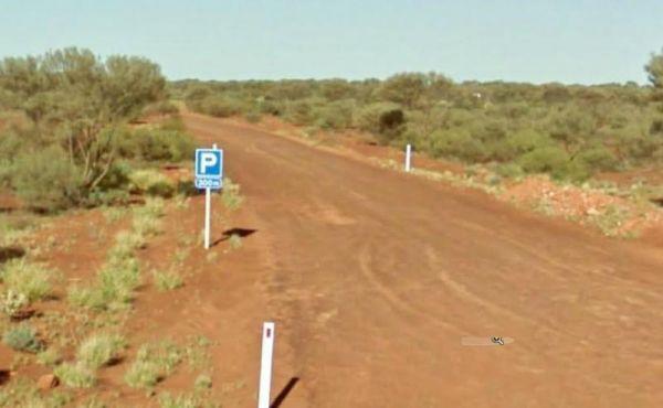
The Mathesons Bore Rest Area is a popular spot with plenty of room to cater for rigs of all sizes, the rest area is about 300 metres from the main road. Entrance to the Mathesons Bore Rest Area Mathesons Bore Rest Area location map
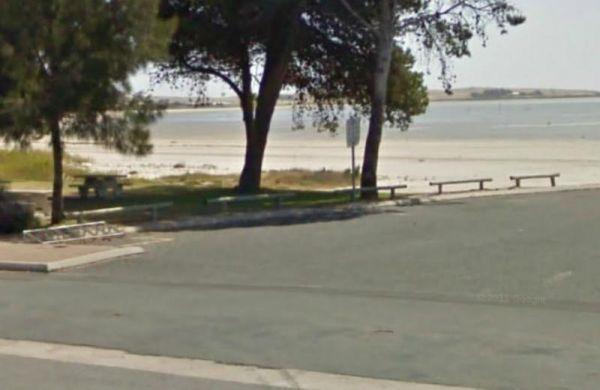
The Meningie Lions Jubilee Park has shops within walking distance. You can fish from the beach or from the small jetty at high tide, or take a nice walk along the sandy shoreline.
Entrance to the Meningie Lions Jubilee Park
Meningie Lions Jubilee Park ...
Read More...
The Meningie South Rest Area is very easy to miss use the supplied GPS coordinates to locate this rest stop, it seems like it's seldom used so use at your own peril. Entrance to the Meningie South Rest Area Meningie South Rest Area location map
