Tags: River Camping
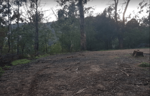
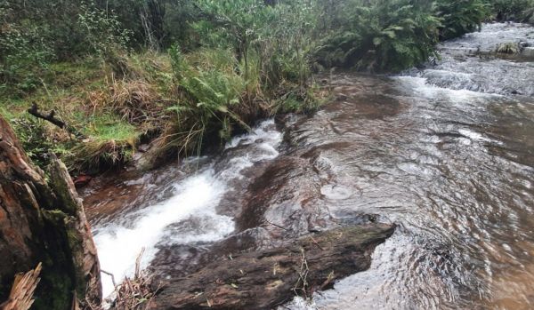
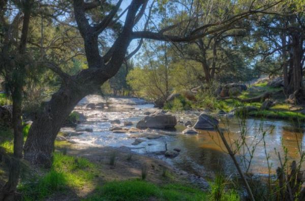
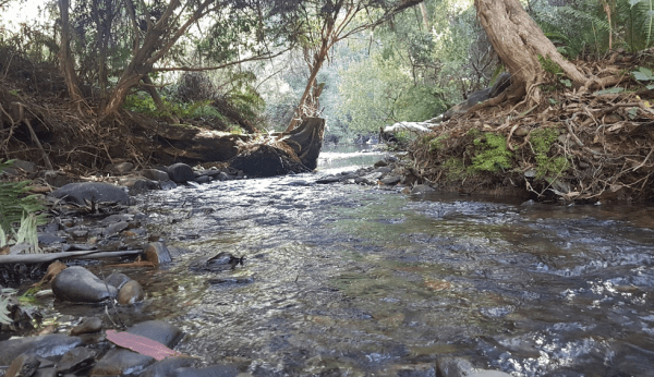
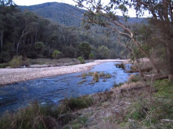
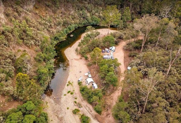
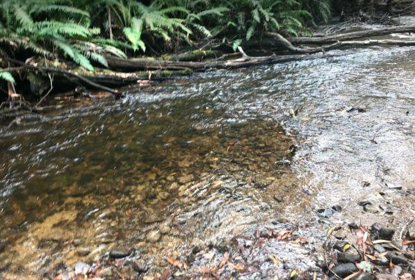
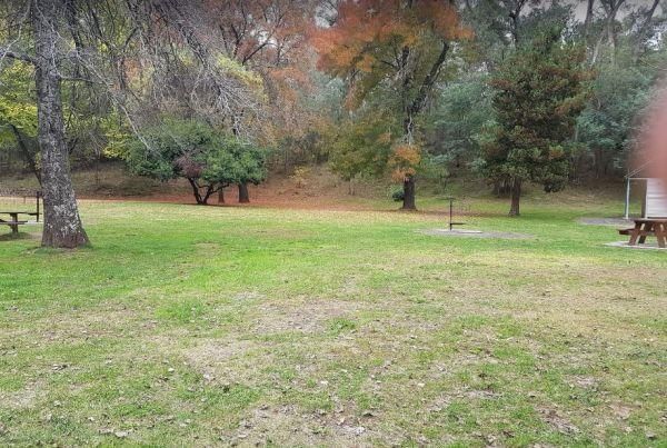
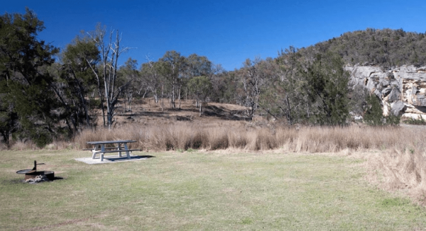
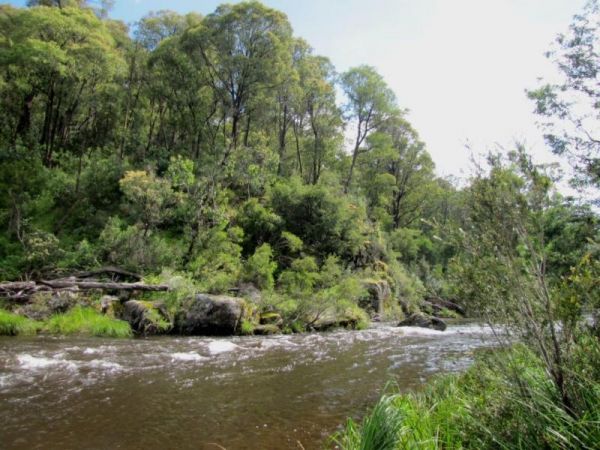
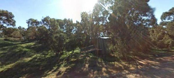
From the 25 Mile Creek Camping Ground, it's a steep walk to get to the Big River, with dinner waiting to be caught if your a fisherman, otherwise it's another rough bush campsite. 25 Mile Creek Camping Ground
Ada River Camping Area
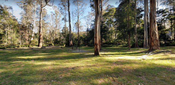
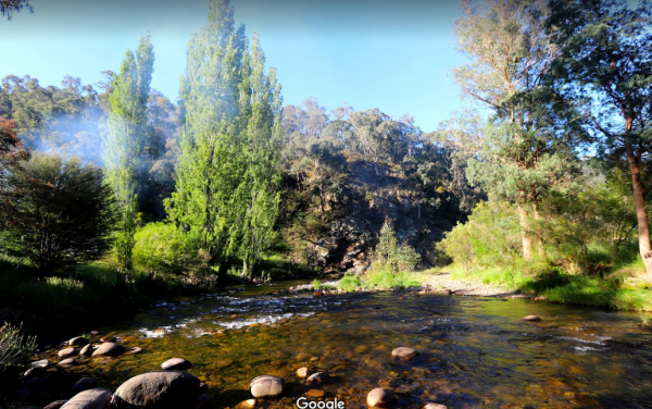
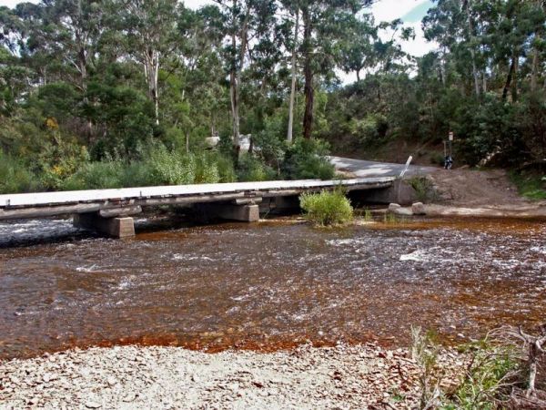
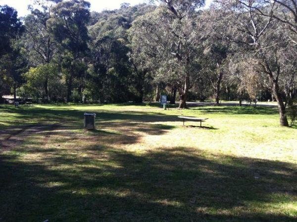
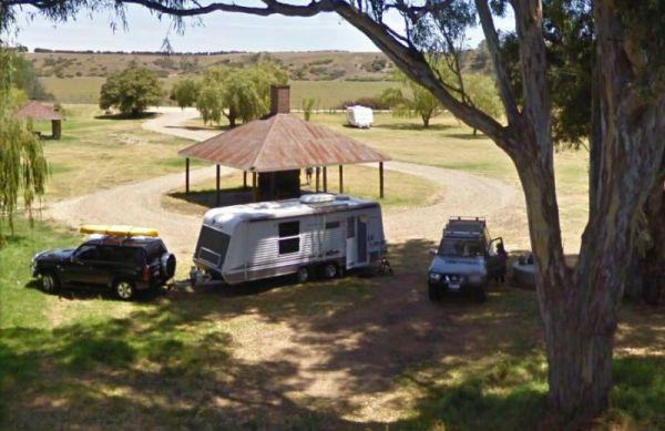
The Ada River Campground is isolated and quiet, and it's distance from the Princes Highway deters most overnight travellers. This campsite is set among tall gum trees with plenty of room for your caravan to spend a pleasant day or two. You have drop toile ...
Read More...
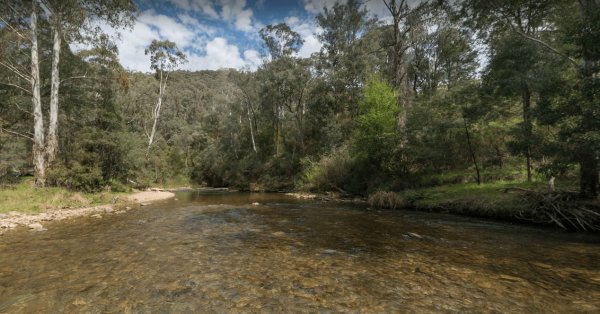
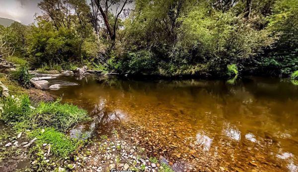
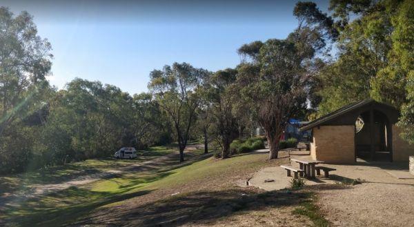
The AH Youngs Camping Area has long drop toilets, and the Buckland River water is clear with plenty of places to swim. The campsite has large grassy areas to park your caravan, or pitch a tent. AH Youngs Camping Area location map
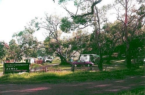
Aire River East Campground - Otway National Park
When camping at Aire River East Campground - Otway National Park.
For permits and information, contact Parks Victoria: 13 19 63 (within Australia)
Entrance to the Aire River East Campground - Otway National Park
Aire River East Campground - Otway Nat ...
Read More...
Aire River West Campground - Otway National Park
When camping at Aire River West Campground - Otway National Park, remember to Bring your own water & firewood.
For permits and information contact Parks Victoria: 13 19 63 (within Australia)
Entrance to the Aire River West Campground - Otway Nationa ...
Read More...
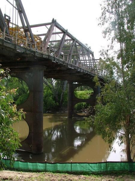
Algebuckina Bridge
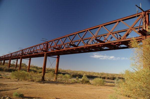
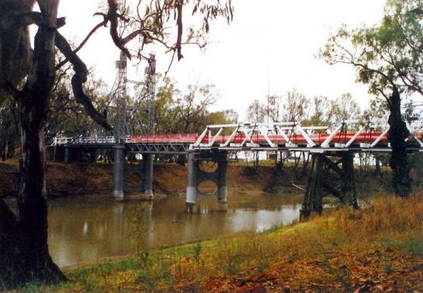
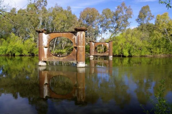
The Algebuckina Bridge has lots of places to select from some with low trees, you will need your levelling blocks for most of the sites. 4X4 vehicle prefered transport for this remote local.
Entrance to the Algebuckina Bridge
Algebuckina Bridge locati ...
Read More...
Andersons Camping Area
Andersons Garden Camping Area is located within the Mount Disappointment State Forest, with the Sunday Creek running along this campground, it's a nice place for a tent camping adventure.
Entrance to the Andersons Camping Area
Andersons Camping Area l ...
Read More...
Andersons Garden Camping Area
The Andersons Garden Camping Area, the toilets are as clean as a drop toilet can be. There are a lot of mud tracks and roads to explore. There is a nice little creek for the kids to paddle in. The campground is now boarded off so you won't be able to get ...
Read More...
Anglers Rest Campground Area
When stopping at the Anglers Rest Camping Area, is the first of many river access areas from Anglers Rest. There is a drop toilet, with not a lot of level ground to camp at, but you can walk over to the Blue Duck Inn for a bite to eat.
Entrance to the An ...
Read More...
Angusvale Camping Area has plenty of places for your camper trailer plus, there is a Ranger on duty in the area also, you can ask about some of the Old Gold Mining ventures that took place not too far away from here.
Angusvale Camping Area
Angusvale C ...
Read More...
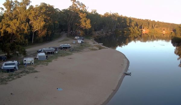
The Apex Beach Camping Area has good fishing right next to your campsite on the banks of the mighty Murray River Victoria side, and opposite the NSW town of Tocumwal. Apex Beach Camping Area location map
Avoca Lions Park has free Camping overlooking the Avoca River its a beautiful place to stop and unwind. The kids can play on the playground and you can sit by and cook dinner on the Barby, or have a crack at fishing in the nearby Avoca River.
Entrance to ...
Read More...
Baileys Rocks Camping Area is a great camping spot, it's isolated and secluded, with a very rough corrugated road leading in. There are picnic tables and some fire pits plus public drop toilets. This is a shady forest campsite, amongst huge trees and inte ...
Read More...
Barmah Lakes Camping Area is close to the Murray River and is great for Kayaking, Photography, Fishing, Swimming, and there is a boat ramp as well. Barmah Lakes Camping Area location map
Baw Baw National Park - Aberfeldy River Camping Area is within easy walking distance to the Aberfeldy River where you can catch a trout for dinner, or try your hand at panning for gold. This campsite set amongst gumtrees and not a bad place to camp for a ...
Read More...
The Beggs Bend State Forest Camping Area has quite a few places to camp at, all along this stretch of dirt road which follows the Murray River for a bit.
Entrance to the Beggs Bend State Forest Camping Area
Beggs Bend State Forest Camping Area locatio ...
Read More...
Bendeela Reserve Camping Area
The Bendeela Reserve Camping Area is a nice spot on banks of the Kangaroo River. Turn left just before the power station. Note: The dump point is located at the first toilet block. Bendeela Reserve Camping Area location map
The Bendemeer Apex Park Rest Area is a nice spot near to local services, with lots of picnic tables both under shade and under cover. Garbage bins and toilets are there, along with picnic tables and a bbq, plus a completely fenced children playground. The ...
Read More...
The Bendemeer Park Rest Area is located next to the Watson Creek quite a nice place to pull over and relax a bit. Note: No Camping Permitted Entrance to the Bendemeer Park Rest Area Bendemeer Park Rest Area location map
Bendethera Valley Camping Area you can test out your 4x4 on some of the tracks or simply enjoy the river and the activities available on it.
Bring your own firewood, and check the water levels before crossing the creeks.
Bendethera Valley Camping Area l ...
Read More...
The Big Bend Camping Area has mobile phone coverage, lots of fishing spots and a few level spots along the Murray River to camp at all with rivergums, and a riverfront view. Entrance to the Big Bend Camping Area Big Bend Camping Area location map
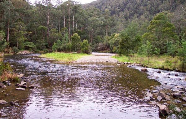
If camping at the Big River Camping Area it's well worth you time to get out your fishing rods and trying your luck at catching dinner. Big River Camping Area location map
Big Toms Beach Camping Area is just a few Kilometres from Cobram and on a nice sandy bank of the Murray River which is good for swimming. This is a lovely open area, with lots of room for several vans. Big Toms Beach Camping Area location map
Blackbird Hut (Kelly's Hut) Campground
The Pickerings Flat Camping Area still has a historic cattleman's hut in use today by Parks Victoria, it's used to maintain the other huts and parks in the area. This campsite comprises of a large grassy area, with plenty of camp sites to choose from. You ...
Read More...
Blue Pools Camping Area
Blue Pools Camping Area, as the name suggests, a nice pool of water set in the Briagolong State Forest. There is a public toilet onsite and the Freestone Creek runs close by for those interested in fishing or exploring.
Blue Pools Camping Area
Blue Po ...
Read More...
Blue Range Creek Camping Area
Blue Range Creek Camping Area is nice little campground on the river, with drop toilets located in the day area across the road. This campground is a relatively quiet spot to camp and is 20 min from Mansfield. Its set amongst tall gum trees that offer sha ...
Read More...
Visiting Bluff Creek Camping Area during springtime, is a great time to take the walking trail to see the Bluff Falls, there is only 5 suitable spots for caravans. Bluff Creek Camping Area location map
At the Bombay Reserve Camping Area, small caravans or camper trailers are best suited for this spot. It's about 100 metres or so to the Shoalhaven river for those fishing enthusiasts out there, which is a bit too far and difficult to carry the kayak.
It' ...
Read More...
The Bonshaw Weir Camping Area does not allow fishing and swimming within 200m of weir is prohibited, but is OK once you pass the 200 metre mark in either direction. Entrance to the Bonshaw Weir Camping Area Bonshaw Weir Camping Area location map
The Booberoi Weir in on the Lachlan River offering a nice place to stop at and test your kayak and fishing gear, and trusty camera. Booberoi Weir Camping Area location map
To camp at the Boreang Camping Area you need to contact Brambuk the National Park & Cultural Centre in Halls Gap on ph: (03) 5361 4000. NOTE: 15 sites available The Boreang Camping Area Boreang Camping Area location map
Bourkes Bend State Forest Camping Area
Bourkes Bend State Forest Camping Area location map
At the Brentnalls Beach Camping Area, you will need to bring everything you need for your stay, and take away your rubbish with you when you leave. This is a real bush camp with fishing available from your doorstep.
Brentnalls Beach Camping Area location ...
Read More...
The Bretti Reserve Camping Area is an open area with plenty of space to set-up camp next to the Barnard River, so catching dinner will be on your agenda. Entrance to the Bretti Reserve Camping Area Bretti Reserve Camping Area location map
Brodies Camping Area has plenty of places to camp and it's for the kayak to be taken off the roof rack, and explore some of the lake, take your camera and fishing gear with you to capture that Giant Redfin. Brodies Corner Camping Area location map
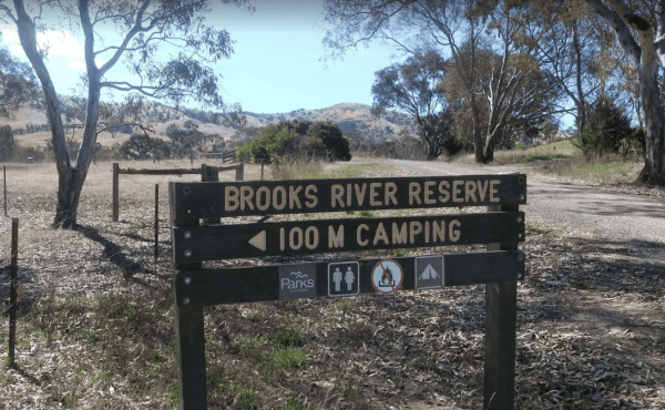
The Brooks River Reserve Camping Area can be dusty during the summer months and very quiet and peaceful, it's a lovely spot with a long drop toilet. It's a bit of a steep 200 metre walk down to the Goulburn River, but not bad one there.
Brooks River Rese ...
Read More...
Bruces Beach Camping Area is another secluded rough bush camp with a nice waterfront view, from the campsite you choose. Bruce's Beach Camping Area location map
The Bruces Bend Camping Area has Non-flush toilets and picnic tables and a boat ramp all close to the Murray River. Bruces Bend Camping Area location map
The Buckland River Camping Area has plenty of fishing spots to choose from along it's banks, and for those with kayaks you will have a bit of fun also. There are a few camping areas along the Buckland River, it's best to Boil the River water before drinki ...
Read More...
Bummaroo Ford Campground
When stopping at the Bummaroo Ford Campground you can hike along the Abercrombie River, check out a few swimming holes and fishing spots, drop your kayak in and take a paddle along the river.
Generators are not permitted in this campground. Bring your ow ...
Read More...
Bunyip Hole Reserve Camping Area
The Bunyip Hole Reserve Camping Area is a bush camp on the banks of the Murrumbidgee River with plenty of shade and fishing opportunities to catch Yellowbelly and Murray Cod. Bunyip Hole Reserve Camping Area location map
The Burnt Bridge Camping Area is an amazing place, with easy access to the river, good for fishing. There are 2 separate drop toilets, one in the main area, and the other further down the towards the end of Burnt Bridge.
Most of the camping areas are of ...
Read More...
At the Burraga Dam Camping Area you can take a walk around, and you will find some old fish hatchery ponds, and a few other things of interest, so take your camera with you.
P.S. The Burraga Dam is a great place to catch a fish or two while your there. ...
Read More...
Buttercup Creek Camping Areas (Campgrounds 1-5) has 5 different campground locations, ranging from 2 to 20 suitable campsites in each. Plenty of 4x4 driving tracks to explore from your base camp, you can also checkout the numerous walking tracks in the ar ...
Read More...
Campbells Reserve Camping Area
The Campbells Reserve Camping Area is a genuine bush camp where you bring and take everything with you, located on the banks of the Murrumbidgee River, fishing at your doorstep, and generally your on your own as these sites are hardly ever marked with cle ...
Read More...
Carrathool Bridge Camping Area
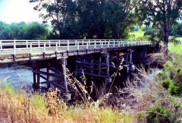
The Carrathool Bridge Camping Area is close to the historic Bridge which has a width restriction of 3.2 metres, so keep that in mind if you intended to cross it to the campsite on the north side of the bridge.
Entrance to the Carrathool Bridge Camping Ar ...
Read More...
Carters Mill Camping Area has clean toilets, and it's a quiet spot for a campsite (Not many level spots to choose from). From here, you can walk to waterfalls, you'll find some amazing beautiful views. There are picnic benches and solid fuel fireplaces an ...
Read More...
The Casuarina Sands Reserve is a really great place to swim in freshwater then have a bbq, and undercover picnic tables, then use the public toilets. This picnic area is located on the banks of the mighty Murrumbidgee River.
Entrance to the Casuarina San ...
Read More...
Caurnamont Reserve Rest Area
From the Caurnamont Reserve Rest Area you can take the ferry across the Murray River to Purnong Landing. Entrance to the Caurnamont Reserve Rest Area Caurnamont Reserve Rest Area location map
Cavendish Recreation Reserve Camping Area has Power available along with Hot Showers. (Thanks goes to Mike Wright for this updated information.) Important: Due to Covid-19 All campers must be fully self contained (Toilet, Shower, cooking etc) until furthe ...
Read More...
Chaffe Creek Camping Ground
Chaffe Creek Camping Ground is a great campsite spread across 2 sections, there are long drop toilets and a few fireplaces. This camping area is a bit more open than a few others close to this location. You can also catch a fish dinner if you try hard eno ...
Read More...
Charlton Gordon Park has the Avocca River running alongside the park area To camp here your rig must have it's own toilet facilities, as you cannot use the park amenities. Entrance to the Charlton Gordon Park Charlton Gordon Park location map
Cobrawonga Island Camping Area
Cobrawonga Island Camping Area location map
Coopers Creek Reserve Campground
Coopers Creek Coopers Creek Reserve Campground location map
CRB Camping Area
CRB Camping Area is close to the Cobungra River, so have a go at fishing or swimming, and for the more adventurous, grab your kayak and navigate upstream a bit. h3>CRB Camping Area location map
Dando's Camping Area
The Dando's Camping Area is well set up campsite with lots of camping areas and relatively easy access by car. The river is very close and easily accessible. There's 2 clean drop toilets, and some fire pits with bbq swing plates. The Dando's Camping Area ...
Read More...
Davons Flat Camping Area
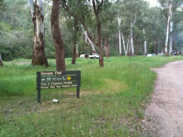
The Davons Flat Camping Area is a beautiful spot alongside the Howqua River and hugely popular. It is part of the Howqua Hills Historic area and just next door to Sheepyard Flats another very popular camping area. This area was used for gold mining, so if ...
Read More...
Dead River Beach Camping Area is great when it's not raining, if you're unfortunate and it dos rain, the whole camp gets flooded. Apart from that it's a nice place to stay for an hour or two on the banks of the Murray River.
Dead River Beach Camping Area ...
Read More...
The Delegate River Camping Area and is a beautiful little campground with approximately 6 suitable areas to camp at. There are fire pits with bbq plates, a long drop toilet. As the name suggests, this camping ground is next to the Delegate River, so don't ...
Read More...
Dicks Bend Camping Area
If going to the Dicks Bend Camping Area, you should bring everything you need to make life comfortable, and take away your rubbish when you leave. Dicks Bend Camping Area location map
Doolans Bend Camping Area
The Doolans Bend Camping Area has the Murray River at your doorstep, and all associated water activities at your pleasure are available here. Doolans Bend Camping Area Doolans Bend Camping Area location map
Edi Cutting Camping Area has crystal clear water in the King River, and plenty space for camping. There’s two toilets available and this place gets very busy over holidays. This campsite is really a nice place for the kayak, and a bit of fishing or simply ...
Read More...
From the Edward River Camping Area you can catch dinner from the Edward River or test your kayak skills, or simply take a dip in the water with your GoPro Camera. This is a very well set up place to camp. Edward River Camping Area location map
Ellenborough Reserve Camping Area 14 Day Limit
The Ellenborough Reserve Camping Area is a nice grassy area where the Hastings and Ellenborough Rivers meet.
It's a rather nice spot to spend a few hours or days simply relaxing.
Entrance to the Ellenborough Reserve Camping Area 14 Day Limit
Ellenbor ...
Read More...
The English's Bridge Camping Area is a great campsite by the Campaspe River, with good swimming area near bridge boat ramp. There is plenty of level ground for RV's or caravans. It's best to be self contained if camping here as there are no amenities, and ...
Read More...
Entrance to the Finlays Beach Camping Area Finlays Beach Camping Area location map
To get to the Finley Beach Camping Area, turn onto an unnamed Dirt Road at GPS -35.821054,145.554872, Nice spot on the Murray River Entrance to the Finley Beach Camping Area Finley Beach Camping Area lcation map
Fishbone Flat Camping Area is a nice spot along the Arnold Creek, with a few fireplaces and no other facilities to grace this campsite. Fishbone Flat Camping Area location map
Flat Rock Camping Area is a nice spot with a decent amount of wildlife. Watch out for wallabies, roos and wombats on the side of the road if driving In the evening or night. Great campsite with lots of camping space to base yourself and go exploring from ...
Read More...
Forges Beach No 1
Forges Beach No 1 can accommodate large vans, and provides excellent camping right on the Murray River. This campsite is a safe place for the kids to swim and is very popular during public holidays. There are long drop toilets at the campground.
Forges B ...
Read More...
Four Mile Reserve Camping Area
The Four Mile Reserve Camping Area is a great spot on the Barwon River, with flushing toilets, cold water showers and bbqs. This is a large campground with plenty of flat spots to park your caravan. There is a Jetty and a Boat Ramp, for those who like fis ...
Read More...
Frank Potts Reserve
The Frank Potts Reserve has quite a few places amongst the trees to pull into and have a picnic and a few hundred metres from a wine tasting centre. Entrance to the Frank Potts Reserve Frank Potts Reserve location map
Freds Landing Rest Area
From the Freds Landing Rest Area you can launch your Kayak and go for a paddle up or down the Murray River, or try your hand at catching dinner. Entrance to the Freds Landing Rest Area Freds Landing Rest Area location map
The Frenchmans Creek Camping Area is a really nice peaceful and quiet camping ground next to the Big River for fishing. There are lots of tracks to explore and heaps of spots to camp and the campsites are better suited to vehicle based camping rather than ...
Read More...
Frys Flat Camping Area
Frys Flat Camping Area is a picturesque campsite with a long drop toilet, and fire pits with the Howqua Hills Historic Walk on your doorstep and it will take you around 1 1/2 hours to complete. The king parrots and kookaburras are overly friendly, so watc ...
Read More...
The Gang Gang Gully Camping Area has no rubbish bins onsite, you should take your rubbish home with you. If you want to light a fire, gather only dead wood and don't cut down any trees. Gang Gang Gully Camping Area location map
Geehi Flats Camping Area is a beautiful riverside campsite with public toilets, fire places, shelter and loads of space, and the campground is accessible with a 2WD vehicle if you drive through the Geehi rest area. This is a great spot to camp plenty of r ...
Read More...
Entrance to the Glenelg River Rest Area Glenelg River Rest Area location map
The Grannys Flat Camping Area has a few 4x4's tracks to check out. There are no built fireplaces at this site, so please use a previous campfire site and clean up afterwards. This is a nice place on the Jamerson River, for those of you who enjoy fishing e ...
Read More...
The Granthams Bend Camping Area is close to town, you only need to simply cross the bridge over the Murray River into N.S.W. This campsite is a rough Bush camp, where you need to bring everything you need, and take your rubbish with you when you leave.
E ...
Read More...
When visiting the Greens Point Camping Area you can pop over to the historic old township of Sofala, it's well worth the short drive from your campsite. Greens Point Camping Area location map
Gulpa Island Precinct Camping Area has plenty of places to pull over and enjoy the scenery.
You might want to check this location first before committing to taking a large caravan in, as the road can be a bit difficult in places.
Gulpa Island Precinct C ...
Read More...
Guttram State Forest Camping Area
The Guttram State Forest Camping Area is on the banks of the Murray River with all water activities at your doorstep. It's a bit on the bumpy side to get their so take care. Guttram State Forest Camping Area location map
The Gwydir River Camping Area is very relaxing and peaceful, with large open areas to park your caravan for a few days, and the Gwydir River at your doorstep asking to be explored. There is an introduced plant you need to keep an eye open for, it's the ti ...
Read More...
The Hattah-Kulkyne National Park Camping Area has lovely walks through the Mallee with plenty of bird life and gorgeous flora. It's a semi-desert national park, and very flat with lots of Emus, Kangaroos, Possums etc. There are a a few separate Camping ar ...
Read More...
The Haythorpe Reserve Camping Area has plenty of places to choose from, and you are right on the banks of the Murray River. Entrance to the Haythorpe Reserve Camping Area Haythorpe Reserve Camping Area location map
Heron Bend Camping Area
At the Heron Bend Camping Area you can pop into the pub while your there, and check out the conditions before you head down the dirt road.
Note: Dogs must under owners control at all times.
Entrance to the Heron Bend Camping Area
Heron Bend Camping A ...
Read More...
Hettner Landing Camping Area
When stopping at the Hettner Landing Camping Area you can pop into the Walker Flat General Store and stock up on food, drinks, and fuel, before popping into this camp site. GPS for store: -34.752985, 139.557238 You will find rock rings for fires & tab ...
Read More...
The Hogwash Bend Conservation Park is a great place to drop the kayak into the Murray River and paddle upstream a bit, or sit on the large sandy beach and try your luck at catching dinner.
Entrance to the Hogwash Bend Conservation Park
Hogwash Bend Co ...
Read More...
The Holder Bend Reserve and Boat Ramp has a nice concrete boat ramp to pop your kayak into the Murray River and remember to take your camera with you. Entrance to the Holder Bend Reserve and Boat Ramp Holder Bend Reserve and Boat Ramp location map
The Horseshoe Bend Camping Area has one long drop toilet, and lots of level ground to park your caravan next to the Murray River. This campsite is good for boating, skiing, and fishing or just plain relaxing. Plenty of spots along the Murray and not too f ...
Read More...
The Horseyard Flat Camping Area has a nice and the stunning walk to the Falls and gorge. There are lots of 4x4 tracks to explore, the lower campgrounds back right onto the Moroka River. Horseyard Flat Camping Area location map
The Hunts Bridge Camping Area has plenty of space and shade next to the Moorabool River West Branch with a deep water hole for good swimming. It's recommended to get there early, as the best camping spots go fast.
Entrance to the Hunts Bridge Camping Are ...
Read More...
Indi Bridge Reserve Camping Area
The Indi Bridge Reserve Camping Area is an absolutely awesome campground with a long drop toilet. This is a nice place for fishing, relaxing and the occasional photograph of the one that got away.
Note: There is an irrigation pump that starts up in dry p ...
Read More...
The Jimmy Bullocks Camping Area is close to the Big River that flows around a bend, giving you plenty of river to explore, without walking too far from your tent. Jimmy Bullocks Camping Area location map
Jingellic Reserve Camping Area is a beautiful spot right on the Murray River, free camp, with gumtrees offering shade and quite a few spots to camp at there are some rubbish bins, the toilets and showers are available at the back of the pub across the roa ...
Read More...
John S Christian Reserve
The John S Christian Reserve is a reasonably level area and a public toilet with a few spots to park your caravan at. You. have mobile phone signal here and your dog can get a break from the backseat of your car.
Entrance to the John S Christian Reserve ...
Read More...
Jokers Flat Camping Area
The Jokers Flat Camping Area is a nice campground next to the Big River, time to take the kayak off the roof and dip it in some water. Entrance to the Jokers Flat Camping Area Jokers Flat Camping Area location map
The Jones Camping Area has a public toilet, and some fireplaces, and is located next to the Holland Creek, so fishing for trout is a possibility, and there are plenty of photographs waiting to be taken here. Jones Camping Area location map
The Jounama Creek Camping Area, has plenty of riverbank areas for camping on with your caravan. There is a long drop toilet, fire pits and the Jounama Creek has crystal clear water, with Rainbow and Brown Trout waiting to be caught. You will also see cock ...
Read More...
The King Hut Camping Area has the King River close at hand, for the Trout fishermen out there. A normal 2wd car can get here in the drier months. King Hut Camping Area King Hut Camping Area location map
The King River Rest Area is close to the road so expect some noise, two large tanks with some potable water is onsite, undercover picnic tables and fireplaces available, and for the more adventurous, you can take a short walk to Leech Lagoon.
Entrance to ...
Read More...
The Knockwood Reserve Camping Area is a good spot to blow the dust off your kayak and do some exploring. The campground is situated on the banks of the Gaffneys Creek, with plenty of grassy campsites to choose from.
Entrance to the Knockwood Reserve Camp ...
Read More...
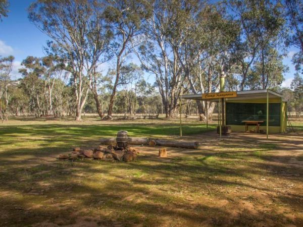
Kooyoora Park Retreat has pet friendly camping and it's only 15 minutes from the Melville Caves with magnificent views of Mt Kooyoora. Camping with all the features of an outdoor kitchen, large fire pit, 80 acres of beautiful private bushland plus thousan ...
Read More...
Kroehns Landing
Kroehns Landing is on the banks of the Murray River and a bit on the bumpy side of things, when trying to find level ground. Entrance to the Kroehns Landing Kroehns Landing location map
Kurrajongs Camping Area
From the Kurrajongs Camping Area, you can walk to the Mt Lawson Summit (1,041m) and generally enjoy the area. Entrance to the Kurrajongs Camping Area Kurrajongs Camping Area location map
The Kurth Kiln Picnic and Camping Ground is a place for you to chill and relax, walk around the nature along one of the walking tracks found here. There are plenty of good flat spots to pitch tents. this is a lovely little spot close to Melbourne, with go ...
Read More...
Kyffins Reserve Camping Area is a great place to unwind, and use your kayak for a paddle around, or fishing for Yellow Belly and Murray Cod. From your campsite you will get to see lots of birdlife and great views of Lake Mulwala. You're going to be spoilt ...
Read More...
Lake Elingamite Camping Area
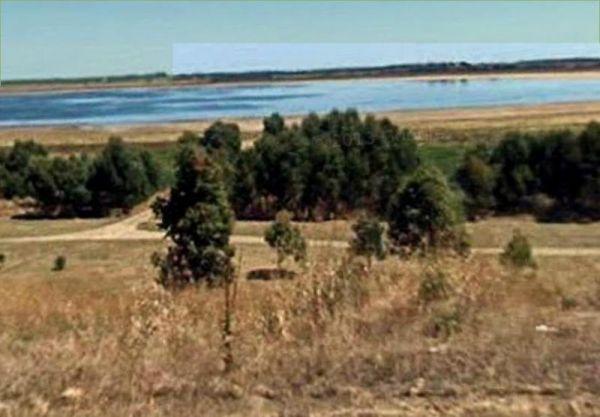
The Lake Elingamite Camping Area is a fantastic campground on the lake of Elingamite. There is plenty of slightly sloped land and some levelled spots suitable for RV’s and caravans under shady and mature cypress pines plus some native trees.
The public ...
Read More...
Latrobe River Camping Area
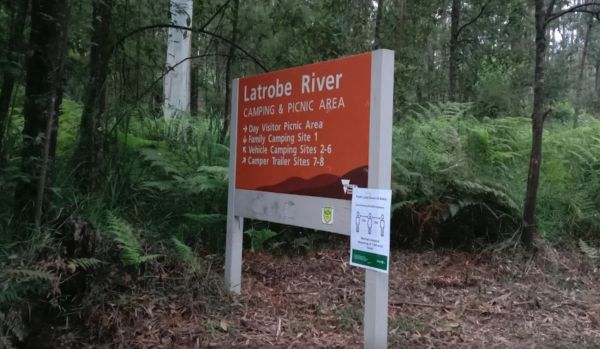
The Latrobe River Camping Area is a great forest campground with some level areas to camp on. There are 2 long drop toilets available and fire pits with bbqs are. This campground is located close to where the La Trobe River and Ada River join. I would not ...
Read More...
Lemon Tree Flat Camping Area is next to the Severn River. There is one free gas BBQ in a shelter, toilets, and some fireplaces. You will find a few walking tracks here. You'll find lots of wildlife, including Kangaroos echidnas goannas possums platypus et ...
Read More...
Lightning Creek Camping Area
The Lightning Creek Camping Area is a large level and well grassed area with beautiful mountain scenery to set up camp in. There is plenty of room for caravans, clean long drop toilets with wheelchair access, bbqs, picnic tables, large grassy areas with s ...
Read More...
Little Bruces Track Camping Area
Little Bruces Track Camping Area can be hard to find the correct road to turn onto another Dirt road, thats running off the Murray Valley Highway.😂
There are 3 general camping sites, Forges 1, Forges 2, and Little Bruce itself.
Turn Off GPS -35.998578, ...
Read More...
Little River Highway Rest Stop (Northbound)
Entrance to the Little River Highway Rest Stop (Northbound) Little River Highway Rest Stop (Northbound) location map
Little River Highway Rest Stop (Southbound)
The Little River Highway Rest Stop (Southbound) now has NO CAMPING signs but it's a nice place to take a break from driving. There is a petrol station next to this rest spot with take away food and an Information Center.
Entrance to the Avalon Rest Area ...
Read More...
The Little Styx River Camping Area is a beautiful spot near a small trickling river and is a nice restful place to share with a few other travellers. There is a composting toilet and a few fireplaces come bbqs, and plenty of shady trees to park your carav ...
Read More...
Loch Luna Game Reserve Camping Area 2
The Loch Luna Game Reserve Camping Area 2 is a basic campsite suited to those of you who are self contained, there is a public toilet, and quite a few campsites along the Murray River and Dogs must be on a leash at all times.
Entrance to the Loch Luna Ga ...
Read More...
Long Beach Camping Area is best suited to vehicle based camping and I'd think twice before committing a large caravan to this spot on the Murrumbidgee River, as it might be a bit difficult to maneuver. Long Beach Camping Area location map
Louth Bay is a lovely seaside town located approximately 24km from Port Lincoln.Entrance to the campground is off Louth Terrace.The campground has 5 unpowered sites, camping outside these designated sites is strictly not permitted.
Bookings are not taken ...
Read More...
Permanently Closed due damage by inconsiderate campers.
The Lumbys Bend Camping Area is a rough bush camp next to the Murray River, water activities including fishing, swimming, kayaking etc. come to mind and photography all available from this campsit ...
Read More...
Major Creek Reserve Camping Area
The Major Creek Reserve Camping Area, is a great camp spot if you can get near the water ...it's a bit dusty otherwise with good access for caravans, and depending on what time of the year you stay here especially around Easter, you might hear the scare g ...
Read More...
Mannus Camping Area
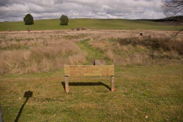
The Mannus Creek runs next to this site, this is a great base-camp for hiking into the surrounding mountains. Entrance to the Mannus Camping Area Mannus Camping Area location map
The Markeys Beach Camping Area is beautiful and isolated with great campsites with a very isolated beach. This is an awesome place to get away and it's so quiet, and is the sort of location where you really need to use GPS navigation to find your campsite ...
Read More...
The Married Mens Camping Area has a nice new long drop toilet and room for 10+ cars, with good access to running water and dead wood everywhere goes not a lot of tent space available and best suited to 4x4's Married Mens Camping Area location map
At the Martin's Bend Reserve Campground riverside camping is not permitted, you now have dedicated areas set aside at reasonable prices. Entrance to the Martin's Bend Reserve Campground Martin's Bend Reserve Campground location map
The Maude Camping Area is located just South of the bridge, about 200 mtr off Maude Rd on Nap Nap Rd on dirt road. This is a rough bush camp area on the Murrumbidgee River with enough space for about 6 or so caravans. You are within walking distance to th ...
Read More...
The McClelland Camping Area is a great spot by the river and accessible by 2wd, but best accessed with 4x4's with vehicle based tent camping. You will need to bring everything, and take your rubbish with you, water is available from the Big River, but mak ...
Read More...
McKillops Bridge Camping Area
The McKillops Bridge Camping Area has walking tracks, a public toilet and quite limited facilities. The campground is within easy walking distance to the Snowy River, for fishing or swimming over the small rocks.
Entrance to the McKillops Bridge Camping ...
Read More...
McKinnon Point Camping Area
The Mckinnon Point Camping Area is a lovely secluded flat free campsite close to the Freestone Creek, the only downside is that the sunsets early in the afternoon due to the surrounding cliffs. There is easy access from this campsite to river during the s ...
Read More...
The Melville Caves Camping Area, campground needs a little work for when it rains, water run-offs are a problem and travel through every site. There are fire pits, and long drop toilets here. This is a wonderful large gravel campsite, with its natural sur ...
Read More...
The Miners Flat Camping Area has some fireplace bbqs, and parking space mainly for 4x4 vehicle based camping and a few tents. Miners Flat Camping Area location map
Morwell River Free Camping site 1 location map
Mountain Dam Camping Area has lots of wildlife photography opportunities. There is a boat ramp, a drop toilet and a few fire pits with picnic tables at this campground. You can launch your kayak with ease, but do take it carefully, as there are lots of de ...
Read More...
The Murchison State Forest - McMillans Camping Area you need to bring everything you need with you, and remember to take your rubbish to keep this site pristine, and ready for the next camper to enjoy. This is a rough bush camp with a few campsites to cho ...
Read More...
The Murtho Forest Landing Campground is very close to the Murray River. This is a basic bush camp and not a bad place to drop a fishing line. Entrance to the Murtho Forest Landing Campground Murtho Forest Landing Campground location map
Nariel Creek Recreation Reserve Camping Area 48 Hour Li...
The Nariel Creek Recreation Reserve Camping Area is a beautiful spot, with public long drop toilets, a lovely babbling river, green grass for camping on. is on the grassy banks of the creek, lots of spots to choose from for an overnight stay. Please note ...
Read More...
Neils Reserve Camping Area
The Neils Reserve Camping Area Well away from the main road and on the Banks of the Murray River. This is a fantastic reserve, and very popular during peak holiday periods, there are plenty of camping areas close to the water. It's a bring everything you ...
Read More...
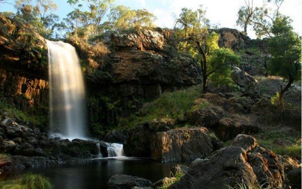
The Nigretta Falls Scenic Reserve were previously known as the Upper Wannon Falls, these waterfalls are located in the Southern Grampians Shire, approximately 16 kilometres west of Hamilton. There are three different viewing areas, one from car park and w ...
Read More...
Entrance to the Nitmiluk Gorge Caravan Park Nitmiluk Gorge Caravan Park Location Map
Nobles Beach Camping Area
The Nobles Beach Camping Area has a few good camping spots to stop at, along the Murrumbidgee River, and make camp for a few days. Nobles Beach Camping Area location map
Noonans Flat Camping Area
If planning on staying at the Noonans Flat Camping Area, has amazing views with good access to the river, and an there's an old mine not far away to explore. It would be a good idea to contact Parks Victoria about prevailing conditions, before heading off ...
Read More...
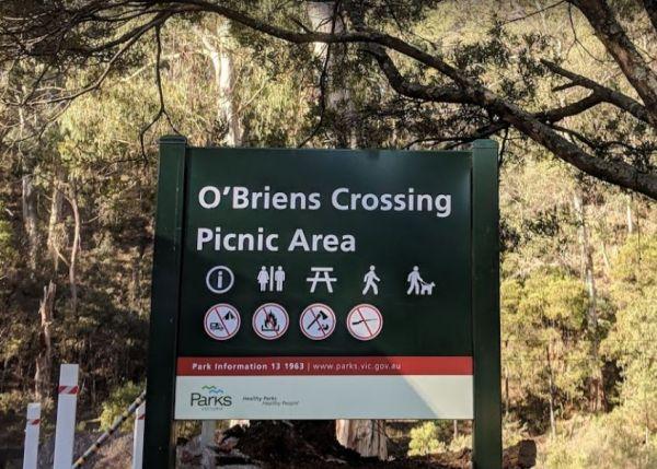
O'Briens Crossing Picnic Area
O'Briens Crossing Picnic Area location map
Ovens River Frosts Camping Area
The Ovens River Frosts Camping Area is a rough bush camp that has a few camping spots along the Boundary Creek. Camping here will give you a chance to catch lunch if your into fishing. Ovens River Frosts Camping Area location map
The Paddys River Falls Camping Area is a nice quiet and not so rough bush camp, with hiking, swimming, fishing and fishing all within easy reach of your campsite.
Note: There is a 4 Week camping limit in place.
Entrance to the Paddys River Falls Camping ...
Read More...
When at the Pamamaroo Lake Camping Area is a huge space to camp, either along the lake shore where there are no toilets, or adjacent to the historical Burke and Wills campsite where there's toilets.
Note: The Menindee sports ground has a tap for water. ...
Read More...
The Parolas Bend Camping Area is a rough bush camp, you might be lucky to catch a fish for dinner from her since your adjacent the Ovens River, or you can also stay at the Bundalong Riverside Caravan Park if you prefer.
Entrance to the Parolas Bend Campi ...
Read More...
Peppermint Ridge Camping Ground has access to the Big River with two camping areas available. This is a rough bush camp, so you will need to bring everything you need and take your rubbish with you when you leave.
Peppermint Ridge Camping Ground location ...
Read More...
The Picnic Point Camping Area is next to the Goulburn River, with plenty of water activities for you to pursue. Time to see if the Kayak has a leak in it. Entrance to the Picnic Point Camping Area Picnic Point Camping Area location map
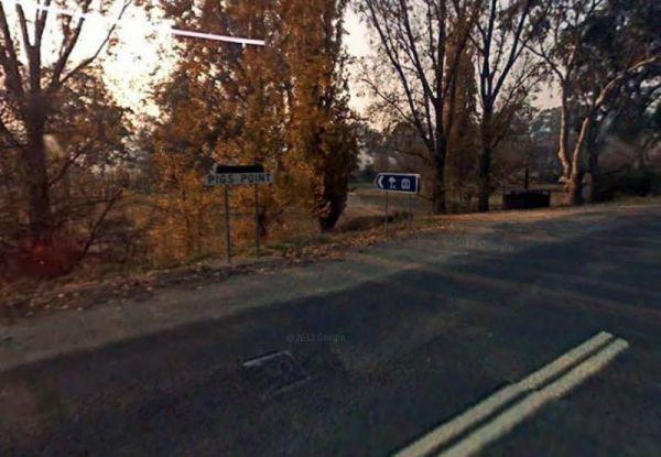
Pigs Point Reserve Camping Area
The Pigs Point Reserve Camping Area is a great spot the Mitta River on the omeo highway about 14 km from Tallangatta. It has mobile phone reception, clean long drop toilets, large well maintained camping areas and fire pits. Great area for fishing, trout, ...
Read More...
Pinch River Camping Area
When stopping at the Pinch River Camping Area is split into two camping grounds on both sides of the Pinch River. This is a nice spot to stay along the Barry way. with some long drop toilets, picnic shelters and fire rings. The pinch river is a small cree ...
Read More...
The Pipers Reserve Camping Area has plenty of shade and near the Murrumbidgee River for those fishing people who insist on trying to catch dinner. Pipers Reserve Camping Area location map
The Plushes Bend Camping Area now requires booking your site in advance for self contained RV's and caravans. The toilet block within walking distance of the designated and numbered campsites.
Entrance to the Plushes Bend Camping Area
Plushes Bend Cam ...
Read More...
You will arrive at the Ponto Falls Reserve Camping Area is next to the quiet and gentle flowing water on the Macquarie River with lots of bird life. This is a beautiful place and easily accessible for a normal 2wd vehicle but will change rapidly in wet co ...
Read More...
The Psyche Bend Camping Area is a place you can take your dog popular spot during public holidays. There is a historic pumping station nearby, which is open, and run by local enthusiasts.
Psyche Bend Pumping Station 360
Psyche Bend Camping Area locati ...
Read More...
This Quicks Beach Camping Area is a beautiful, clean and quiet spot on the banks of the Murray River with sandy beach areas, and lovely clear water. There are grass areas sloping down to a sandy beach, which is ideal for kayaks and fishing.
Note: Check t ...
Read More...
Entrance to the Ramco Point Camping Area Ramco Point Camping Area location map
The Ration Point Camping Area is a nice spot to spend some time on the river and its interesting to see both sides of the river here have been worked for alluvial gold during the gold rush days. This campite is not far from the historic mining township of ...
Read More...
The Reedy Creek Camping Area is a basic bush camp, that you need a permit to fly a Quadcopter here. I personally have found quite a few specks of gold along this old alluvial mining area. So grab your Miners licence, and have a go at panning in the creek. ...
Read More...
The Reids Campground is a bare bones back to basic bush campsite, you need to bring everything you need, and is best suited to vehicle based camping. The Arnold Creek runs nearby, so you will be able to get some nice photos of your stay here.
Reids Campi ...
Read More...
Entrance to the Riverton South Rest Area Riverton South Rest Area location map
Rock Flat Camping Area
To find the Rock Flat Camping Area is an awesome place to go camping with family. There are long drop toilets, picnic tables and fireplaces with large grassy areas to camp on, use your GPS to navigate to this nice camping area. If you intend to use the fi ...
Read More...
Rocky Creek Glacial Camping Area
To find the Rocky Creek Glacial Camping Area, is an amazing place with great views and it's an ancient geological glacial area, so take s stroll over the rocks lining the river banks. To get here you follow a rough dirt track that leads to a rough bush ca ...
Read More...
The Rubicon State forest, Kendalls Camping Area A is close to the Rubicon River and a great free camping site. There are lots of space and choices for campsites that are separated by wooden fences. You'll find undercover picnic tables, fire pits there's a ...
Read More...
Rudds Point Reserve Camping Area
Rudds Point Reserve Camping Area has some picnic tables, and fireplaces and plenty of places to park your caravan close to the Murrumbidgee River. The turn off can be easily missed, so use your GPS and you’ll be OK finding this place.
Entrance to the Rud ...
Read More...
The Running Creek Camping Area has no built fireplaces at this site, so please use a previous campfire site where possible and clean up afterwards please. Running Creek Camping Area location map
Running Waters Camping Area
At the Running Waters Camping Area you just have to love the experience of camping beside the Snowy River. There is a long drop toilet and a couple of picnic tables and fireplaces with plenty of cut logs. There are plenty of things to capture within the c ...
Read More...
Saddleworth Rest Area
The Saddleworth Rest Area backs onto the Gilbert River, this gravel area is reasonably flat to park your caravan on. There are some fireplaces, picnic tables and rubbish bins here.
Entrance to the Saddleworth Rest Area
Saddleworth Rest Area location m ...
Read More...
Entrance to the Sandbanks Reserve Sandbanks Reserve location map
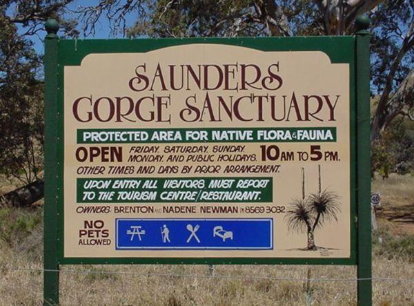
Saunders Gorge Sanctuary - Permanently Closed
Saunders Gorge Sanctuary location map
Scotchies Yard Camping Area - Permanently Closed
Permanently Closed Scotchies Yard Camping Area is another great spot for your camera, with plenty of walks and spots to drop the kayak on the water and lots of fishing spots as well. Scotchies Yard Camping Area location map
Sheepyard Flat Camping Area
The Sheepyard Flat Camping Area is a lovely quiet and relaxing campsite that has plenty of grassy areas to choose from on the banks of the Howqua River. For the fishermen amongst us, the river seems to only hold carp, but I could be wrong. To get to the c ...
Read More...
The Shoalhaven River Crossing, is a nice place to take a swim and gold pan. There are no facilities, or camping amenities, but it's a great stretch your legs and maybe catch a fish for dinner, or some gold in your pan after a day of fossicking.
Entrance ...
Read More...
Snowy Creek Campground
The Snowy Creek Campground is located on the banks of the Snowy, with Brown and Rainbow Trout, Redfin, Yellow Belly, Blackfish.Creek, and Murray Cod waiting to be caught. There is a public toilet and picnic tables at this camp. Other activities include bu ...
Read More...
The Specimen Creek Camping Ground is a 4x4 enthusiasts with and tent based camping, so you need to bring everything you need for this rough bush campsite. Specimen Creek Camping Ground location map
The Spencers Bend Camping Area is a tight squeeze for caravans, and more suited to camper trailers and tents. Spencers Bend Camping Area location map
Stacey Bridge Camping Area
The Stacey Bridge Camping Area is next to the beautiful Wheeler Creek, there's two sites on either side of the road, with plenty of space your caravan. There's well maintained long drop toilets, fire pits, picnic tables. The Wheeler Creek is good for fly ...
Read More...
The Stewarts Crossing Camping Area is a large camping ground on the Shoalhaven River to the north of Braidwood. There are long drop toilets and lots of spots to camp. This is a rather sandy area so 4x4 if towing a lightweight van is a good idea.
Generall ...
Read More...
Straneys Bridge Camping Area
When stopping at the Straneys Bridge Camping Area, apart from fishing or a rest from driving there's not much else to be had here. Entrance to the Straneys Bridge Camping Area Straneys Bridge Camping Area location map
Suggan Buggan Campground
When going to Suggan Buggan Campground, be a bit wary if you intend to take a caravan to this place, it is a bit hilly, Once there pop over and have a look at the Old Schoolhouse, remember to take your camera with you.
Entrance to the Suggan Buggan Campg ...
Read More...
To get to the Surry Ridge Picnic and Camping Area you need to travel down narrow dirt roads which means it's more suitable to small campervans and car based camping. Surry Ridge Picnic and Camping Area location map
Swaggies Beach Camping Area
The Swaggies Beach Camping Area can be a bit hard to find unless you use GPS with off road maps is a great help in finding camping spots like this one. Swaggies Beach Camping Area location map
Tenbury Hunter Reserve
The Tenbury Hunter Reserve has public toilets, fire pits & ferry to Swan Reach. It appears this is no longer a Free Campsite, and fees now apply if you intend to stay here.
Could someone please confirm that a small fee now applies to stay here?
Entr ...
Read More...
Entrance to the The Bert Dix Memorial Park The Bert Dix Memorial Park location map
The Fort O'Hare Camping Area has large campsite with built in fire pits with bbq plate, a public drop toilet and picnic tables, located on the banks of the Glenelg River, pet friendly.
You will also find an Honesty box at the local store for camp fees. W ...
Read More...
The Poplars Camping Ground
The Poplars Camping Ground is only 15 mins from Noojee Town centre. The rangers come regularly to top up toilet paper a,d give them a clean. You'll find some campsites have fire pits, level ground wiand easy accessible, and the Loch River runs next to the ...
Read More...
The Thiele's Sandbar Camping Area is a great free camping spot with sandy river access and easy canoe launching, and popular with locals and visitors. Better to keep back a bit in the scrub if you have a van.
Thiele's Sandbar Camping Area location map ...
Read More...
Tocumwal Regional Park Apex Beach Camping Area location map
Tom Groggin Camping Area
Tom Groggin Camping Area, is a lovely location nestled right on the Murray River, NSW side and a great place to camp with toilets and lots of room to spread out on level ground. You will share your camp with eastern grey kangaroos. Emus, echidnas, brush-t ...
Read More...
Tooloom Falls Camping Area
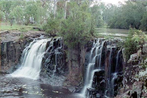
The Tooloom Falls Camping Area has a drop toilet and some basic facilities, with the main attraction being the waterfall. There’s a few picnic benches dotted around (some covered) and also fire pits. Tooloom Falls Camping Area location map
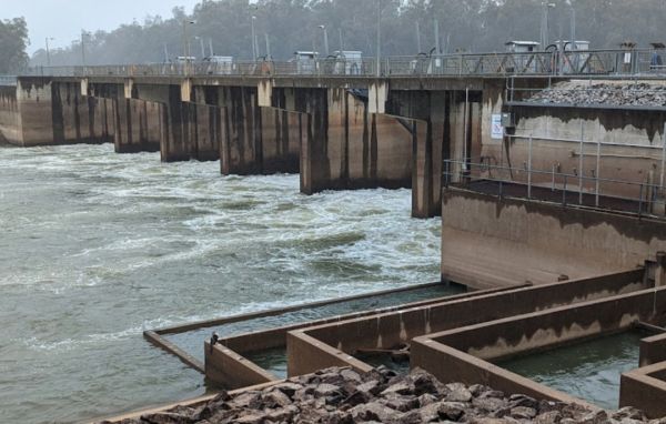
The Torrumbarry Weir Camping Area is a great place for fishing, swimming or boating. This is a bush camp with plenty of spots to choose from, and not far from the Murray River. Be sure to pop over to the Weir gates and learn the history on how the weir wa ...
Read More...
Towong Reserve Camping Area
The Towong Reserve Camping Area is located next to the Murray River with some trees for shade and a large grassy area, this a nice spot to try your hands at fishing in the Murray River. Towong Reserve Camping Area location map
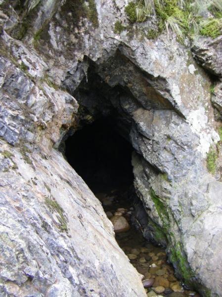
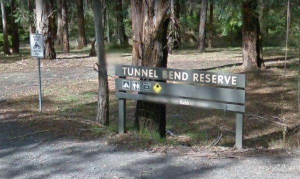
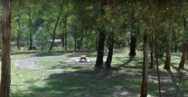
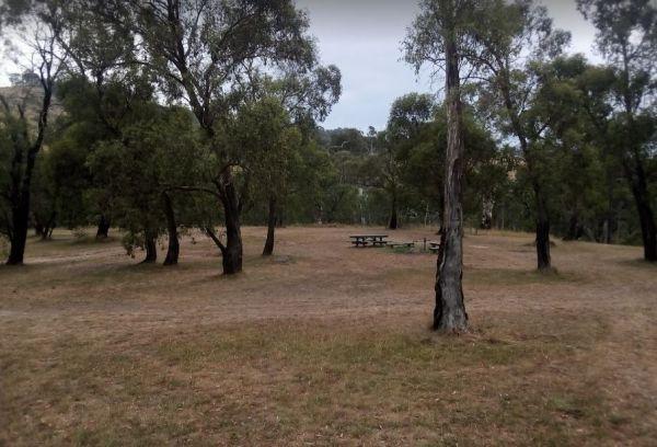
Tunnel Bend Camping Area
Tunnel Bend Camping Area 360 Tunnel Bend Camping Area location map
Entrance to the Tunnel Bend Reserv Camping Area Tunnel Bend Reserve Camping Area location map
The Twelve Mile Reserve Camping Area has level camping areas, with long drop toilets and good access to the Goulburn River where it's safe to swim. This is a place to test out the kayak, or have a go at some fishing.
Entrance to the Twelve Mile Reserve C ...
Read More...
Two Mile Creek camping ground
Two Mile Creek camping ground is 7kms from Dargo, via the Dargo - Omeo Road beside creek and winding dirt road. There is a drop toilet, but you will need to bring everything else you need. Two Mile Creek camping ground location map
The Vennells Camping Area Upper is a nice campsite, but be warned, there is some broken glass in the river. There is not a lot of tent space available and best suited to 4x4's vehicle camping. Vennells Camping Area Upper location map
Vennells Camping Ground Lower location map
The Victoria Falls Campground is a beautiful little sheltered campground, with a public long drop toilet and good grassy areas. It has a lovely bubbling creek with small trout to be caught. There are large areas to park your caravan, with fire pits and pi ...
Read More...
Entrance to the Waikerie Lookout Rest Area Waikerie Lookout Rest Area location map
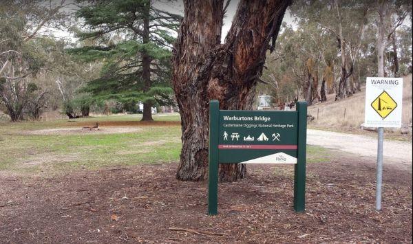
The Warburtons Bridge is a nice spot with Loddon River running at the back of it. It's mainly a level camping area with a few large river gum trees, and a long drop toilet and lots of picnic tables and fire pits. There are a few walking goldfield tracks t ...
Read More...
The Warri Camping Reserve is a great area to camp close the Shoalhaven River with some road noise during the day but quiet at night.
Access to some sites are better suited to off road setups, but there are plenty of sites accessible for most. The campgro ...
Read More...
The Watts Bend Camping Area has quite a few places to choose from, but remember to bring everything you need, and take away your rubbish. Watts Bend Camping Area location map
The Whitecliff Reserve Camping Area is a great little camping area with drop toilet and rubbish bins with shady campsites by a river that has a swimming hole.
Entrance to the Whitecliff Reserve Camping Area
Whitecliff Reserve Camping Area location map ...
Read More...
Wilks Park Rest Area 72 Hour Limit
The Wilks Park Rest Area is a lovely camping spot within walking distance to shopping centres. There are flushing public toilets with a hair dryer, and dump point, rubbish bins, potable water, there is also a bicycle way through the park with camping with ...
Read More...
The Willow Park Free Camping area is located approximately 1km North of Rosedale alongside Latrobe River, undercover picnic tables, bbq, and public toilets, with lots or room to park motorhomes and caravans.
There is a 24 Hour Limit imposed to camp here. ...
Read More...
Winchelsea Park Rest Area
Entrance to the Winchelsea Park Rest Area Winchelsea Park Rest Area location map
Wingan Inlet Campground
Wingan Inlet Campground is a beautiful place, with not many people, and sensational walks, plus great camping spots, and two public toilets. It's a fair walk to the beach, approx 1.5km, but well worth it when you get there, with good fishing. for flathead ...
Read More...
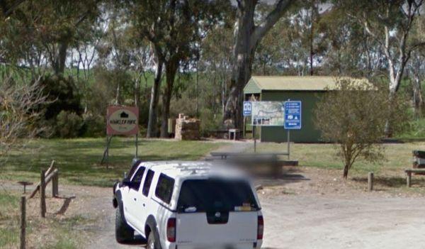
Winkler Park Rest Area
Entrance to the Winkler Park Rest Area Winkler Park Rest Area location map
Wonnangatta Valley Camping Area
The Wonnangatta Valley Camping Area has river access and large flat areas to camp, and quite a bit to see here. Pop over to the small Cemetery and pay your respects to some of the districts Pioneers. Wonnangatta Valley Camping Area location map
Entrance to the Wood Wood Rest Area Wood Wood Rest Area location map
Woods Reserve
To camp at the Woods Reserve camping area, you must pre-book online first, otherwise you will not be able to stay here.
There are some fire pits, bbqs, and public toilets and showers with hot water available and a sink is provided for washing up, and thi ...
Read More...
Woolridge Fossicking Camping Area
The Woolridge Fossicking Camping Area is a nice scenic and peaceful stop to try your hand at finding gold or gems near the Rocky River. This is a popular spot and, not a lot of level parking available, so make sure you have some levelling blocks with you. ...
Read More...
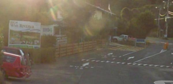
Entrance to the Wye River Holiday Park BIG4 Wye River Holiday Park BIG4 location map
Entrance to the Wyuna Rest Area Wyuna Rest Area location map
Yarrangobilly Village Camping Area
The Yarrangobilly Village Camping Area is a nice nice place for camping along the Yarrangobilly River. Long drop toilets, with lots of room to choose a campsite, there are picnic tables, fireplaces, flat mown grass, a clean creek and Brumbies roaming thro ...
Read More...
Entrance to the Yea Riverside Caravan Park Yea Riverside Caravan Park location map
