New South Wales: A-Z
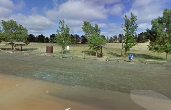
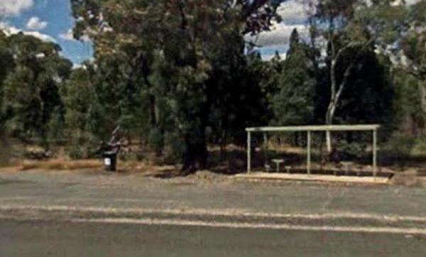
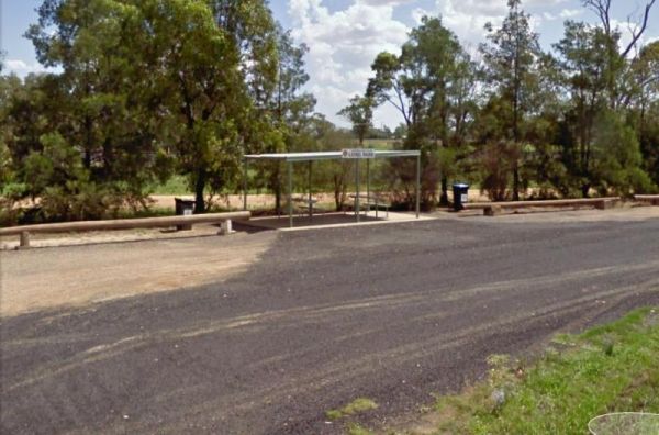
The Middleton VC Rest Area is located on the Remembrance Driveway it's a place to stop for a rest and a bite to eat before continuing on your way. There are undercover picnic tables, rubbish bins and tank water located here.
Entrance to the Middleton VC ...
Read More...
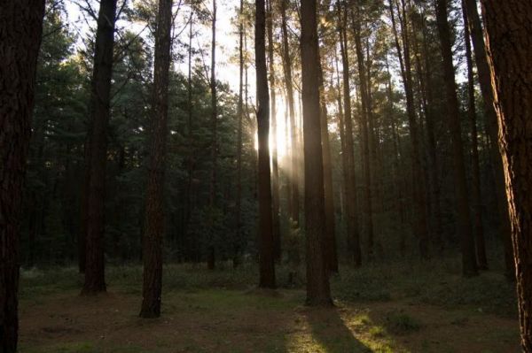
In 1970 the Millionth Acre Park was created as a symbol to represent the one million acres mark of planted radiata pine trees throughout Australia. Entrance to the MIllionth Acre Picnic Area MIllionth Acre Picnic Area location map
Minnie Water Holiday Park
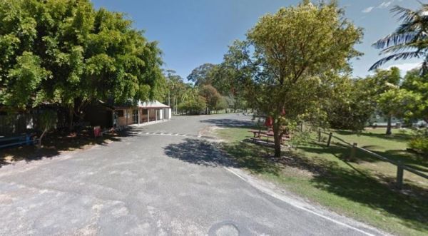
Entrance to the Minnie Water Holiday Park Minnie Water Holiday Park location map
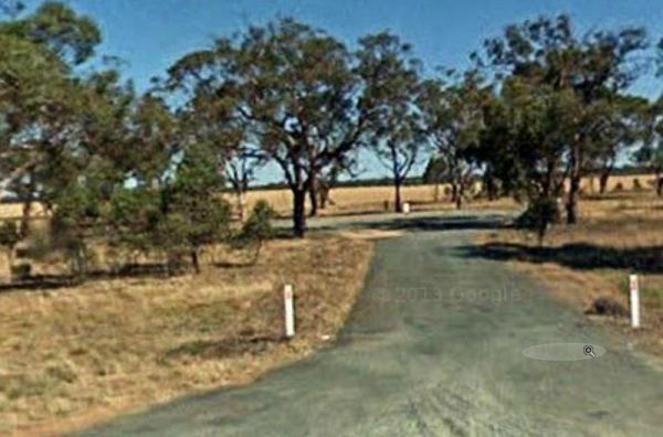
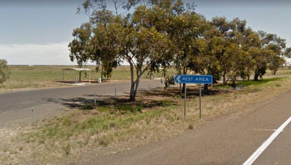
The Moama North Rest Area is set back approximately 60 metres from the Cobb Highway, with plenty of shady trees and a rubbish bin and not much else to do, sums up this location.
Entrance to the Moama North Rest Area
Moama North Rest Area location map ...
Read More...
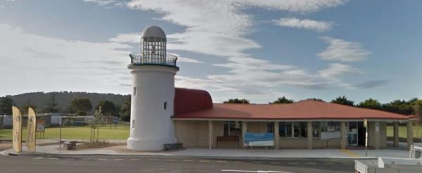
Mogo Zoo is a privately owned zoo situated 10km south of Batemans Bay in the picturesque and historic gold mining village of Mogo. Entrance to the Mogo Zoo Mogo Zoo location map
The Mororo Rest Area is a tree lined strip of asphalt that runs along the Pacific Highway. There is plenty of room to park your caravan, but only two rubbish bins here. Entrance to the Mororo Rest Area Mororo Rest Area location map
The Mount Gladstone Lookout Rest Area has nice views available from the lookout platform remember to take your camera and not your fishing line. (A bit of humor, Oh Well, sometimes it works hahaha) Mount Gladstone Lookout Rest Area location map
Mount Wingen Burning Mountain Nature Reserve, which is administered by the NSW National Parks and Wildlife Service A trail runs from the Park carpark to the site where smoke emanates from the ground and includes information panels. The scientific estimate ...
Read More...
Mountain Creek Rest Area
At the Mountain Creek Rest Area you can stretch your legs and have a look at a few of the tracks into the trees if you want. Entrance to the Mountain Creek Rest Area Mountain Creek Rest Area location map
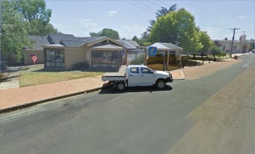
Entrance to the Mudgee Visitor Information Centre Mudgee Visitor Information Centre location map
Mulberrygong Rest Area
Entrance to the Mulberrygong Rest Area Mulberrygong Rest Area location map
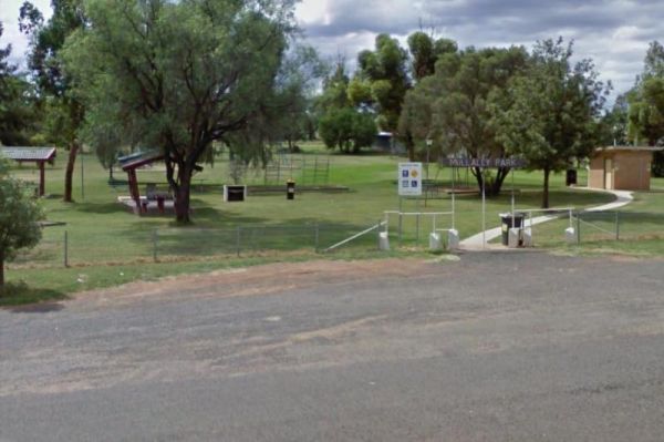
The Mullaley Park Rest Area has a Post Office across the road with a public phone booth if your mobile has died on you. Entrance to the Mullaley Park Rest Area Mullaley Park Rest Area location map
Mullengandra Creek Rest Area
Entrance to the Mullengandra Creek Rest Area Mullengandra Creek Rest Area location map
The Mundoonan Rest Area is an extremely well appointed rest area and accessible to northbound traffic on the Hume Highway. There are modern public toilets, undercover parking for cars, undercover picnic tables and free electric bbqs rubbish bins and emerg ...
Read More...
Murrurundi Caravan Park
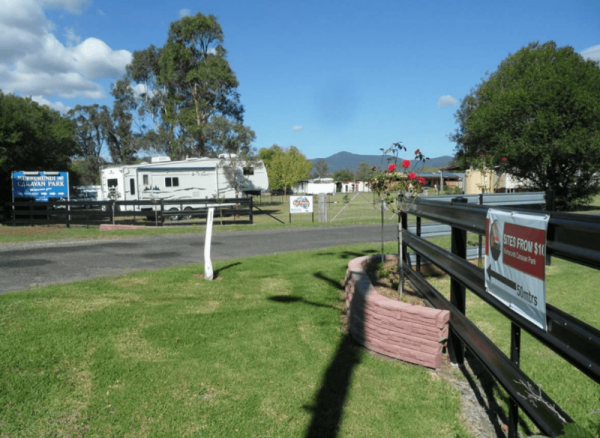
Entrance to the Murrurundi Caravan Park Murrurundi Caravan Park location map
Myall Creek Rest Area
The Myall Creek Rest Area is a shady spot set back from the main road in amongst some tall trees that offer some nice shade. Entrance to the Myall Creek Rest Area Myall Creek Rest Area location map
Nambucca Valley Visitor Information Centre
The Nambucca Valley Visitor Information Centre is a good place to catch a fish or stretch your legs Open Hours:9.00am to 5.00pm Daily Entrance to the Nambucca Valley Visitor Information Centre Nambucca Valley Visitor Information Centre location map
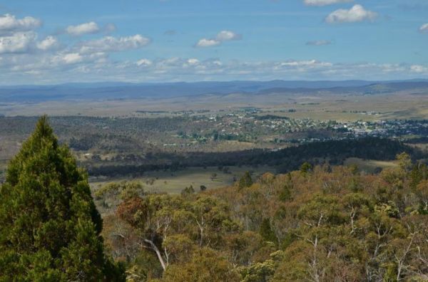
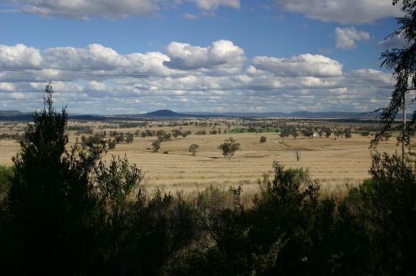
Stop for rest at the Nancy Coulton Lookout Rest Area and enjoy the elevated view of the surrounding countryside. Entrance to the Nancy Coulton Lookout Rest Area Nancy Coulton Lookout Rest Area location map
Narooma Visitors Centre Open Hours:9.00am to 5.00pm Daily Entrance to the Narooma Visitors Centre Narooma Visitors Centre location map
Entrance to the Narromine East Lions Park Rest Area Narromine East Lions Park Rest Area location map
