New South Wales: A-Z
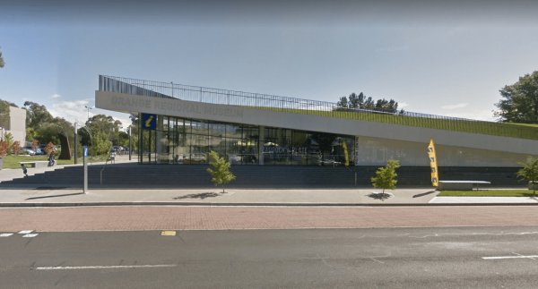
Entrance to the Orange Visitors Information Centre Orange Visitors Information Centre location map Orange Visitors Information Centre 3D View
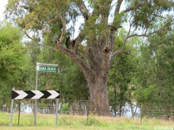
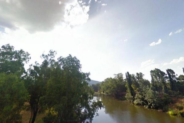
The Oura Beach Reserve is a huge area so you should always find a nice grassy site with access to the Murrumbidgee River on your doorstep, drop a line in or try out your Kayak and remember to take your camera.
Entrance to the Oura Beach Reserve
Oura B ...
Read More...
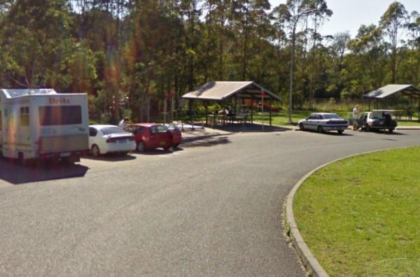
Entrance to the Ourimbah Exit Rest Area Ourimbah Exit Rest Area location map
Oxley's Crossing Rest Area
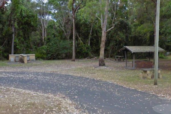
The Ourimbah Exit Rest Area is a popular spot, there is a public toilet, water taps, plus quite a few undercover picnic tables, and rubbish bins. Parking can be a bit tricky with caravans on public holidays, but you can drive through if you don't find a s ...
Read More...
Paddy's Rest Area
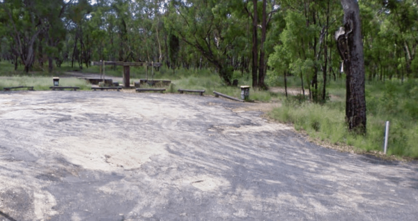
Entrance to the Paddy's Rest Area Paddy's Rest Area location map
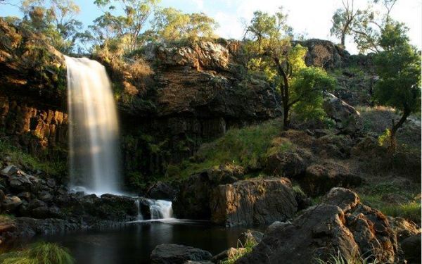
The Paddys River Falls Camping Area is a nice quiet and not so rough bush camp, with hiking, swimming, fishing and fishing all within easy reach of your campsite.
Note: There is a 4 Week camping limit in place.
Entrance to the Paddys River Falls Camping ...
Read More...
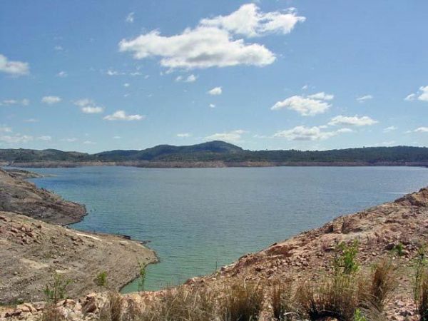
When at the Pamamaroo Lake Camping Area is a huge space to camp, either along the lake shore where there are no toilets, or adjacent to the historical Burke and Wills campsite where there's toilets.
Note: The Menindee sports ground has a tap for water. ...
Read More...
Parkes Visitors Information Centre Open 7 daysWeekdays 9.00am- 5.00pmWeekends/public holidays 10.00am- 4.00pm Entrance to the Parkes Visitors Information Centre Parkes Visitors Information Centre location map
Parramatta Visitor Information Centre
Parramatta Visitor Information Centre Open Hours:9.00am to 5.00pm Daily Entrance to the Parramatta Visitor Information Centre Parramatta Visitor Information Centre location map
Pilgrim Memorial Park Rest Area
The Pilgrim Memorial Park Rest Area is just outside Brunswick on Tweed Street, there is room to park your caravan, a public toilet, some picnic tables and rubbish bins, and a wood fired bbq. With the Simpsons Creek on the other side of Tweed Street, grab ...
Read More...
Pilliga Rest Area
Entrance to the Pilliga Rest Area Pilliga Rest Area location map
Pinch River Camping Area
When stopping at the Pinch River Camping Area is split into two camping grounds on both sides of the Pinch River. This is a nice spot to stay along the Barry way. with some long drop toilets, picnic shelters and fire rings. The pinch river is a small cree ...
Read More...
The Pindari Dam Camping Area is utopia if you enjoy fishing and camping and has a boat ramp available if needed. There is plenty of shoreline fishing spots available, great place for a kayak and camera , undercover picnic tables, public long drop toilets, ...
Read More...
Entrance to the Pine View Camp & Farmstay Pine View Camp & Farmstay location map
The Pipers Reserve Camping Area has plenty of shade and near the Murrumbidgee River for those fishing people who insist on trying to catch dinner. Pipers Reserve Camping Area location map
Entrance to the Pocock Park Rest Area Pocock Park Rest Area location amp
You will arrive at the Ponto Falls Reserve Camping Area is next to the quiet and gentle flowing water on the Macquarie River with lots of bird life. This is a beautiful place and easily accessible for a normal 2wd vehicle but will change rapidly in wet co ...
Read More...
The Popiltah Rest Area is a great spot for overnight stop in the middle of nowhere, there is a little road noise but quietens down at night. There is a bit of a change with tall trees giving shade, and nice picnic facilities available overlooking the Popi ...
Read More...
Port Stephens Treescape Camping and Accommodation
Entrance to the Port Stephens Treescape Camping and Accommodation Port Stephens Treescape Camping and Accommodation location map
Port Stephens Visitor Information Centre
Port Stephens Visitor Information Centre Open Hours:Weekdays 9.00am to 5.00pmSaturday 9.00am to 5.00pmSunday 9.00am to 4.00pm Port Stephens Visitor Information Centre location map
