New South Wales: A-Z
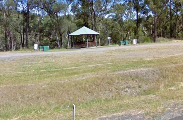
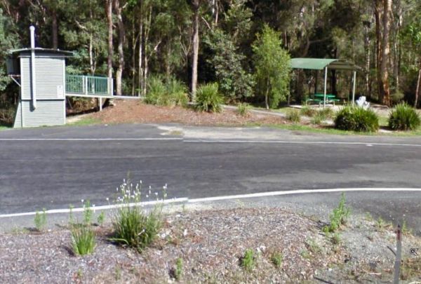
The Springfield Rest Area is right on the doorstep of Springfield Orchard so you can stock up on some fresh fruit from the shop. Entrance to the Springfield Rest Area Springfield Rest Area location map
At the Square Bush Rest Area the picnic table and wood fired bbq that is under the shade of a large gum tree, and set well back from the main road, but you will still hear every road noise.
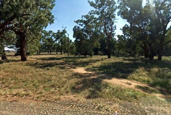
Entrance to the Square Bush Rest Area
Square Bush Rest Area l ...
Read More...
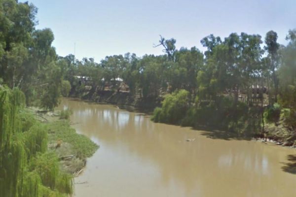
The Stewarts Crossing Camping Area is a large camping ground on the Shoalhaven River to the north of Braidwood. There are long drop toilets and lots of spots to camp. This is a rather sandy area so 4x4 if towing a lightweight van is a good idea.
Generall ...
Read More...
Stockyard Creek Rest Area
The Stockyard Creek Rest Area is located on the corner of Oxley Highway and Stockyard Creek Road, between Port Macquarie to Walcha. Its not the largest place to park your caravan but ample room to turn around if needed. There are public toilets, undercove ...
Read More...
Entrance to the Stoney Creek Rest Area Stoney Creek Rest Area location map
Straneys Bridge Camping Area
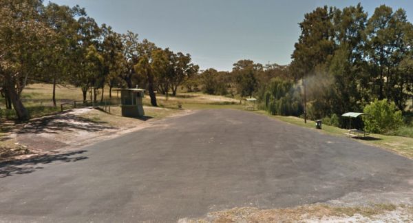
When stopping at the Straneys Bridge Camping Area, apart from fishing or a rest from driving there's not much else to be had here. Entrance to the Straneys Bridge Camping Area Straneys Bridge Camping Area location map
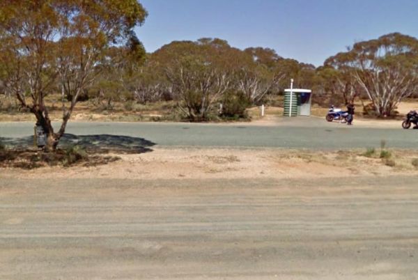
At the Sturt Highway Rest Area you can pull off the asphalt onto the gravel area on both sides of the Sturt Highway. There is a public toilet on the eastbound side, and undercover picnic tables and rubbish bins on both sides. So if you are a bit on the t ...
Read More...
Sunny Corner Recreation Reserve
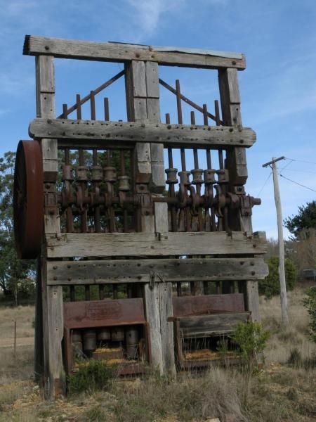
The Sunny Corner Recreation Reserve is a great place to go and get away from it all, and there is some interesting mining relics to be found here. is located in an Old mining area (GPS Location for the Stamper Battery below -33.38315,149.887969)
Entrance ...
Read More...
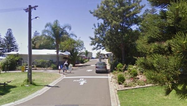
Entrance to the Surf Beach Holiday Park Surf Beach Holiday Park location map
Swaggies Beach Camping Area
The Swaggies Beach Camping Area can be a bit hard to find unless you use GPS with off road maps is a great help in finding camping spots like this one. Swaggies Beach Camping Area location map
The Swan Brook Rest Area is a nice location next to a small creek, no large truck access but ample room for large rigs. With a public toilet with wheelchair access, undercover picnic table, wood fired bbq and rubbish bins next to the Swan Brook for fishin ...
Read More...
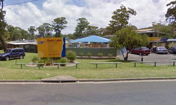
Entrance to the Swan Lake Holiday Park Swan Lake Holiday Park location map
Taronga Zoo is the city zoo of Sydney, New South Wales, Australia. Officially opened on 7 October 1916, it is located on the shores of Sydney Harbour in the suburb of Mosman.
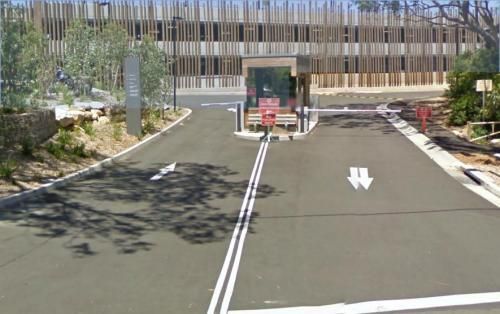
Taronga Zoo is managed by the Zoological Parks Board of New South Wales under t ...
Read More...
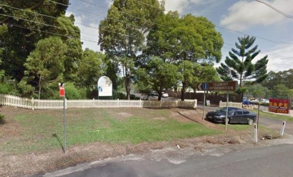
Sydney Hills Tourist Information Centre Open Hours:10.00am to 5.00pm Daily Entrance to the Sydney Hills Tourist Information Centre Sydney Hills Tourist Information Centre location map
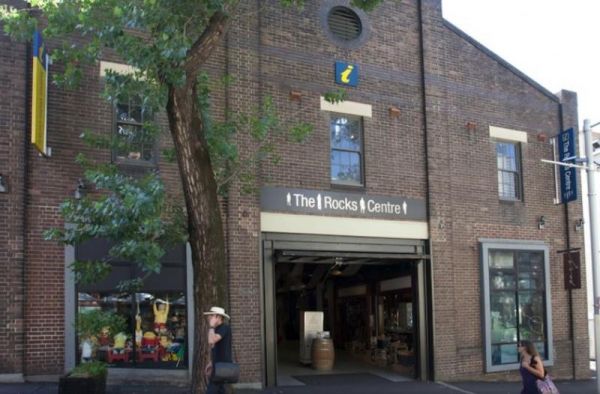
Sydney Visitor Centre - The Rocks Open Hours:9.30am to 5.30pm Daily Entrance to the Sydney Visitor Centre - The Rocks Sydney Visitor Centre - The Rocks location map
Symbio Wildlife Park
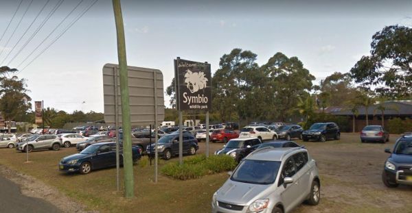
Symbio was established in 1975 as a small wildlife park and has become an award winning zoo and tourist attraction. Bordering Australia’s World historic Royal National Park, the Sutherland Shire, Cronulla Coast and Wollongong City.
Entrance to the Symbio ...
Read More...
Tabbimoble Rest Area (Northbound Only)
The Tabbimoble Rest Area (Northbound Only) is surrounded by the Doubleduke State Forest, be careful if you decide to explore on foot, as it is quite easy to get lost.
Entrance to the Tabbimoble Rest Area (Northbound Only)
Tabbimoble Rest Area (Northbo ...
Read More...
Talawahl Creek Rest Area
Entrance to the Talawahl Creek Rest Area Talawahl Creek Rest Area location map
Entrance to the Tallawang Rest Area Tallawang Rest Area location map
The Tarcutta Rest Area has some shade and 2 picnic tables, but no toilets on both Northbound and Southbound side. There is enough room for large rigs to maneuver, and is located near the junction of the Keajura and Kilgowla Creek, so yabbies might be avai ...
Read More...
