South Australia: A-Z
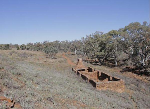
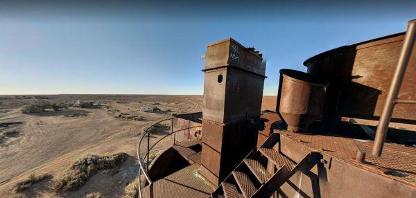
The Appealinna Ruins is an interesting spot to spend a few minutes looking over what's left of the foundations. The ruins are on your left hand side when you reach the roundabout at the end of the road.
Appealinna Ruins 360
Entrance to the Appealinna ...
Read More...
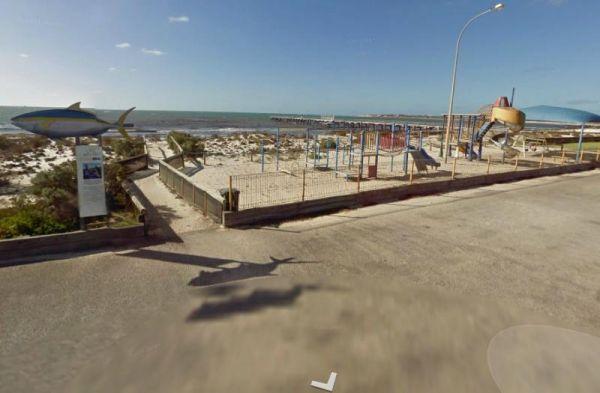
The Arno Bay Park Rest Area is a nice place for a stroll along the beach or have a bite to eat at one of the picnic tables, then use the public toilets and rubbish bins. Entrance to the Arno Bay Park Rest Area Arno Bay Park Rest Area location map
The Baan Hill Reserve Picnic Area is a popular spot for the 4x4 enthusiasts not far from the Ngarkat Conservation Park HIstoric site. Baan Hill Reserve Picnic Area location map
The Ocean is within a hop skip and a jump from the Barkers Rocks Camping Area.
Note: The Yorke Peninsula Council are now charging fees to stay here from the 24 January 2021
Entrance to the Barkers Rocks Camping Area
Barkers Rocks Camping Area locatio ...
Read More...
Entrance to the Barmera Apex Park Rest Area Barmera Apex Park Rest Area location map
Barossa Reservoir Whispering Wall
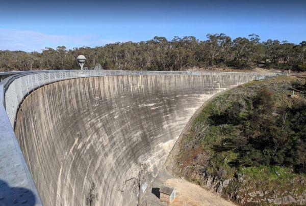
You will find the Barossa Reservoir Whispering Wall (Dam wall) was built between 1899 and 1903 its almost a perfect acoustic wall, with sound travelling along its full length using your normal voice levels. Free Entry
Entrance to the Barossa Reservoir Wh ...
Read More...
When visiting the Beresford Railway Siding Ruins it is recommended to take extreme care when visiting these places, have plenty of water and spare fuel with you, and let someone know you will be heading in case of an emergency.
Beresford Railway Siding R ...
Read More...
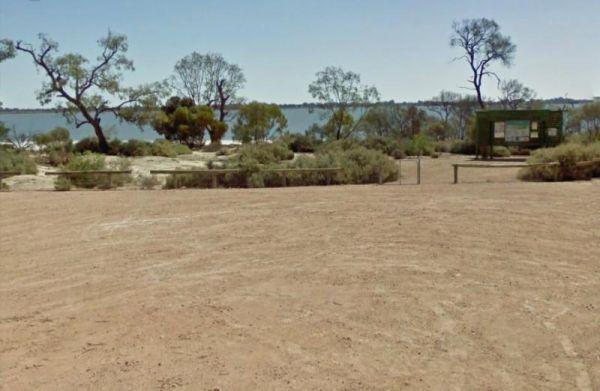
The Big Bend Camping Area has mobile phone coverage, lots of fishing spots and a few level spots along the Murray River to camp at all with rivergums, and a riverfront view. Entrance to the Big Bend Camping Area Big Bend Camping Area location map
Entrance to the Black Rock South Rest Area Black Rock South Rest Area location map
The Bon Bon Rest Area is set back from the Stuart Hwy this rest stop has a public telephone, toilets, an undercover picnic table, rubbish bins and an emergency supply of drinking water, as with all tank water, its best to boil your water first before drin ...
Read More...
Bookaloo Rest Area
Entrance to the Bookaloo Rest Area Bookaloo Rest Area location map
The Bool Lagoon Turnoff Rest Area is reasonably level with an information wall and an undercover picnic table. Entrance to the Bool Lagoon Turnoff Rest Area Bool Lagoon Turnoff Rest Area location map
The Border East Rest Area is a large area with plenty of spots to choose from plus a few tracks into the bush for the more adventurous. Entrance to the Border East Rest Area Border East Rest Area location map
Entrance to the Boston Bay Rest Area Boston Bay Rest Area location map
The Bower Rest Area is located next to tennis courts and town hall. A public toilet is onsite and some tank water. Entrance to the Bower Rest Area Bower Rest Area location map
Brachina Creek Rest Area
The Brachina Creek Rest Area is not so level area, but a reasonable distance away from the main road, not really suitable for large rigs. Entrance to the Brachina Creek Rest Area Brachina Creek Rest Area location map
Carrow Wells Campground
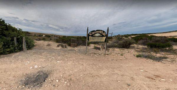
The Carrow Wells Campground is very close to a beautiful beach, with a public toilet, and it's a short distance from the North Coast Road, and is a gravel surface.
There is an interesting sign explaining the history of the site and its link to the Aborig ...
Read More...
Caurnamont Reserve Rest Area
From the Caurnamont Reserve Rest Area you can take the ferry across the Murray River to Purnong Landing. Entrance to the Caurnamont Reserve Rest Area Caurnamont Reserve Rest Area location map
The Chandada Pioneer Park runs alongside the main highway, level area and OK for a break from driving and a picnic using the table provided. Entrance to the Chandada Pioneer Park Chandada Pioneer Park location map
The Clay Wells Rest Area is a level area that runs parallel to the Princes Highway with not a lot between you and the road. Entrance to the Clay Wells Rest Area Clay Wells Rest Area location map
