South Australia: A-Z
Loch Luna Game Reserve Camping Area 2
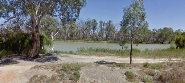
The Loch Luna Game Reserve Camping Area 2 is a basic campsite suited to those of you who are self contained, there is a public toilet, and quite a few campsites along the Murray River and Dogs must be on a leash at all times.
Entrance to the Loch Luna Ga ...
Read More...
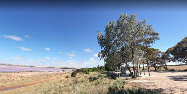
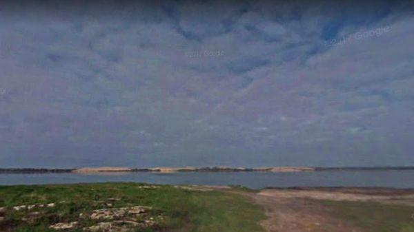
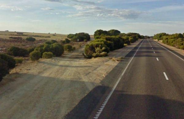
The Lochiel South Rest Area is reasonably level with a few trees offering limited shade, and no sound barrier between you and the Princess Highway.
P.S. Don't waste your time to go fishing, as there is nothing to catch here, and water levels vary dependi ...
Read More...
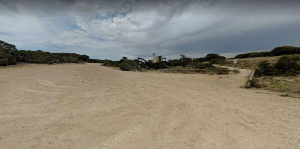
The Long Point Campground has plenty of room for all sized caravans and motorhomes. This campsite has some picnic tables, and a public toilet, please remember to buy your camping ticket at the gate entrance.
Entrance to the Long Point Campground
Long ...
Read More...
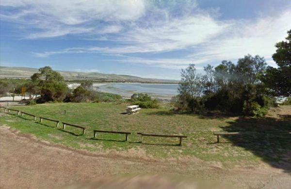
Louth Bay is a lovely seaside town located approximately 24km from Port Lincoln.Entrance to the campground is off Louth Terrace.The campground has 5 unpowered sites, camping outside these designated sites is strictly not permitted.
Bookings are not taken ...
Read More...
The Lyrup Turn Off Rest Area is right next to the Sturt Highway, you will hear all the road noise from passing cars and trucks. Entrance to the Lyrup Turn Off Rest Area Lyrup Turn Off Rest Area location map
No camping is allowed within the Mallala Oval camping area itself, only outside the Mallala Oval Rest Area.Hot showers are available are coin operated. Why not Pop into town and spend some money at the IGA or the Take away next door on Wasleys Road. near ...
Read More...
Mambray Creek Rest Area
From the Mambray Creek Rest Area check out the Old rail bridge while your there, you'll find plenty of parking on both sides of the road. Entrance to the Mambray Creek Rest Area Mambray Creek Rest Area location map
Manna Hill Park Rest Area
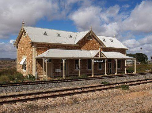
From the Manna Hill Park Rest Area pop over and take a photo of the railway station, it's a nice old stone building and take a look at the local museum its located in the Hotel Building.
Entrance to the Manna Hill Park Rest Area
Manna Hill Park Rest A ...
Read More...
Entrance to the Mark Point Campground Mark Point Campground location map
The Marla South Rest Area has lots of nothing in every direction, but at least its level ground for the caravan. Entrance to the Marla South Rest Area Marla South Rest Area location map
Marryat Creek North Rest Area
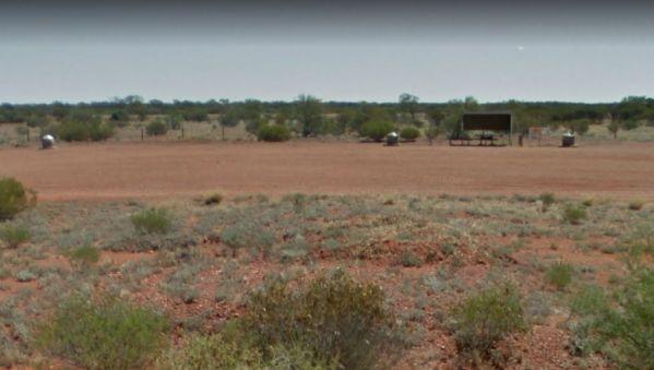
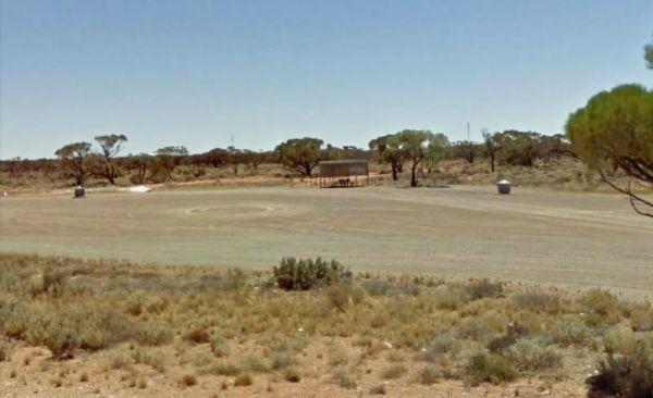
The Marryat Creek North Rest Area is Hot, Flat, Dry and desolate, it makes you wonder how anything can live in a place like this. There are undercover picnic tables, rubbish bins, tank water and plenty of off road parking for your caravan or motorhome.
E ...
Read More...
Marryat Creek Rest Area
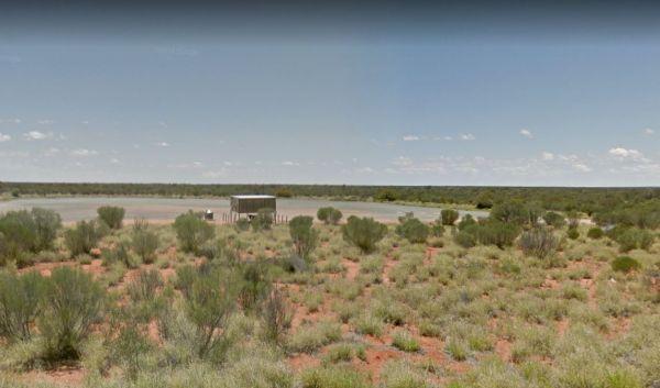
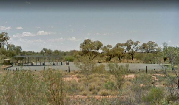
The Marryat Creek Rest Area has an emergency Phone and emergency rainwater tank to supply of Drinking water. There is lots of space for your caravan, you will find undercover picnic tables, rubbish bins to compliment this rest area.
Entrance to the Marry ...
Read More...
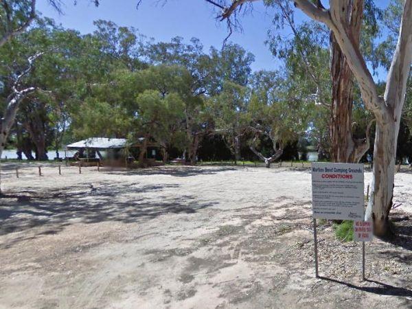
At the Martin's Bend Reserve Campground riverside camping is not permitted, you now have dedicated areas set aside at reasonable prices. Entrance to the Martin's Bend Reserve Campground Martin's Bend Reserve Campground location map
Martins Bend Riverside Reserve Camping Area
To find the Martins Bend Riverside Reserve Camping Area, follow Riverview Dr then turn onto Unnamed Road. Use GPS to find it more easily
Note: This site is more suited to smaller rigs or Tent Camping.
Martins Bend Riverside Reserve Camping Area location ...
Read More...
Maslin Rest Area
The Maslin Rest Area is a large dusty open flat area with limited shade, suitable for all sized caravans and motorhomes. This spot is just off the Stuart Highway with an undercover picnic table and a few rubbish bins.
Entrance to the Maslin Rest Area ...
Read More...
Mathesons Bore Rest Area
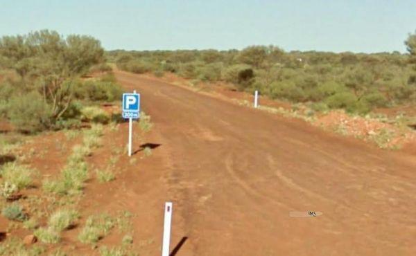
The Mathesons Bore Rest Area is a popular spot with plenty of room to cater for rigs of all sizes, the rest area is about 300 metres from the main road. Entrance to the Mathesons Bore Rest Area Mathesons Bore Rest Area location map
McLaren Vale and Fleurieu Visitor Centre
McLaren Vale and Fleurieu Visitor Centre
Open 7 days a weekexcluding Good Friday and Christmas DayMonday to Friday 9–5pmWeekends and public holidays 10–4pm
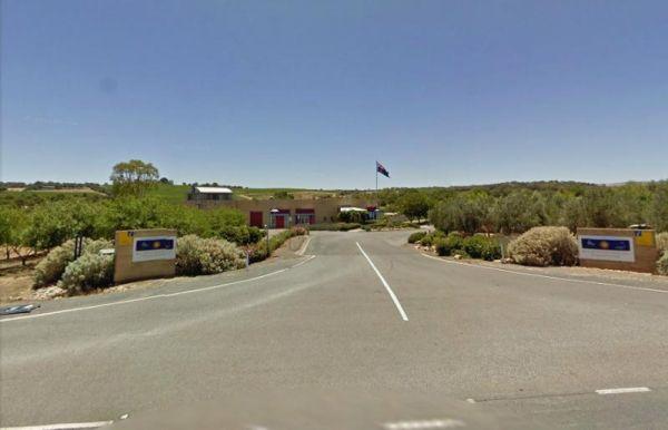
Entrance to the McLaren Vale and Fleurieu Visitor Centre
McLaren Vale and Fleurieu Visitor Cen ...
Read More...
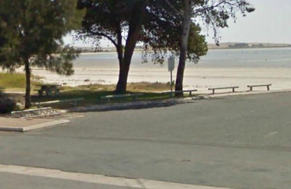
The Meningie Lions Jubilee Park has shops within walking distance. You can fish from the beach or from the small jetty at high tide, or take a nice walk along the sandy shoreline.
Entrance to the Meningie Lions Jubilee Park
Meningie Lions Jubilee Park ...
Read More...
The Meningie South Rest Area is very easy to miss use the supplied GPS coordinates to locate this rest stop, it seems like it's seldom used so use at your own peril. Entrance to the Meningie South Rest Area Meningie South Rest Area location map
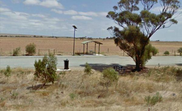
The Merriton North Rest Area is quite a long flat area with a few tall trees for shade, There are rubbish bins and undercover picnic tables, running alongside the Augusta Highway, so you will get road noise from the passing traffic.
Entrance to the Merri ...
Read More...
