List Categories and Listings by M
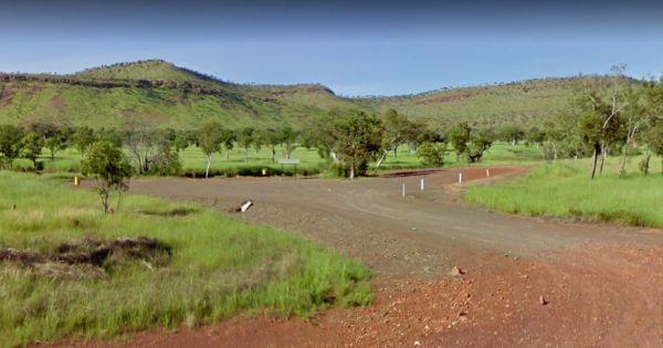
Entrance to the Maggie Creek Rest Area Maggie Creek Rest Area location map
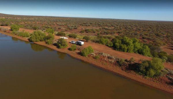
Entrance to the Malcolm Dam Nature Reserve Malcolm Dam Nature Reserve location map
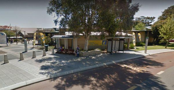
Entrance to the Mandurah Visitor Information Centre Mandurah Visitor Information Centre location map
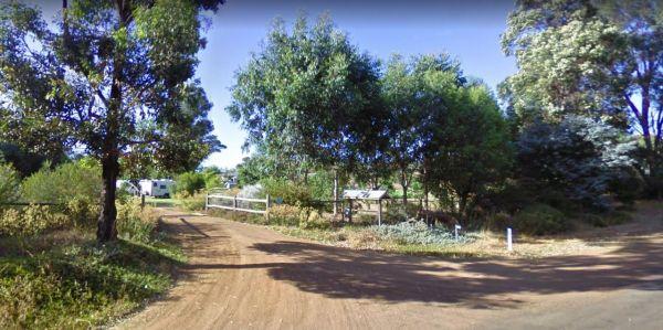
Entrance to the Maranup Ford Caravan Park Maranup Ford Caravan Park location map
March Fly Glen Rest Area
March Fly Glen Rest Area location map
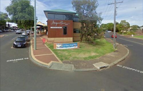
Margaret River Visitor Information Centre
Entrance to the Margaret River Visitor Information Centre Margaret River Visitor Information Centre location map
The Marrinup Townsite Camping Area road in is a bit rough and corrugated, so adjust your speed accordingly. This is a popular campground that fills up quickly on long weekends, there is a long drop toilet, fireplaces and a few picnic tables. There are ple ...
Read More...
Mary Pool Rest Area
Mary Pool Rest Area location map
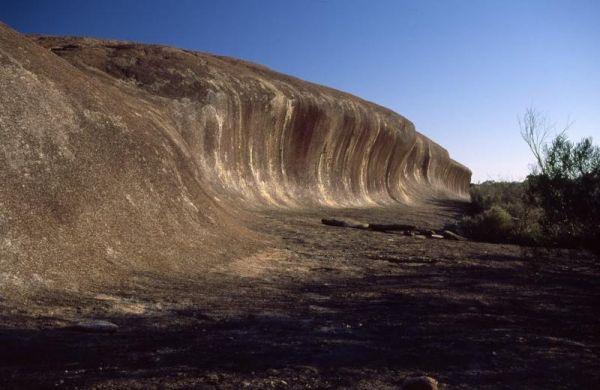
The McDermid Rock Camping Area is an excellent small campground with beautiful walks on McDermid Rock. This rock is a smaller Wave Rock, with an interesting trail to follow when you climb it.
It's an easy road for a single axle caravan making it a perfec ...
Read More...
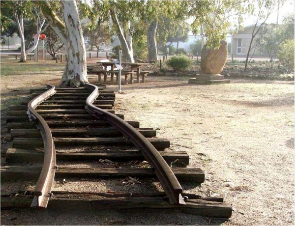
Entrance to the Meckering Memorial Park Meckering Memorial Park location map
Meridian Rest Area
Entrance to the Meridian Rest Area Meridian Rest Area location map
Entrance to the Miaree Pool Rest Area Miaree Pool Rest Area location map
The Miners Campground Creek dry except for salt encrusted pools. Interesting geology/topography and it's hard to imagine the people who worked here having to dig for coal. This campground has two drop toilets, and a communal fire in the evening.
During w ...
Read More...
Entrance to the Minnivale Rest Area Minnivale Rest Area location map
Entrance to the Moodini Bluff Rest Area Moodini Bluff Rest Area location map
Entrance to the Moonera Tank Rest Area Moonera Tank Rest Area location map
Entrance to the Moore River Bridge Rest Area Moore River Bridge Rest Area location map
Mt Pleasant Rest Area
Entrance to the Mt Pleasant Rest Area Mt Pleasant Rest Area location map
