Western Australia: A-Z
Overshot Hill Nature Reserve 24 Hour Limit - PERMANENTL...
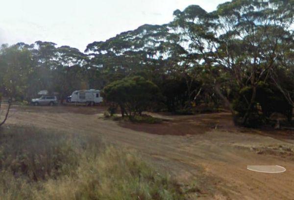
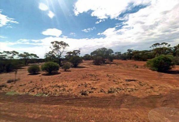
Entrance to the Overshot Hill Nature Reserve Overshot Hill Nature Reserve location map
Palm Springs Rest Area
Palm Springs Rest Area location map
Peak Charles National Park Camping Area
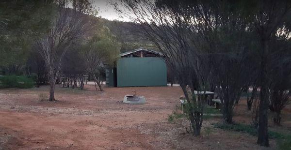
The Peak Charles National Park Camping Area is located at the base of the largest granite outcrop in the Great Western Woodlands. The campground is small with some shade available, theres public long drop toilets, fire pits, undercover picnic tables, and ...
Read More...
Pear Creek Camping Area
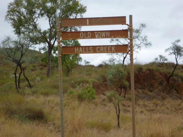
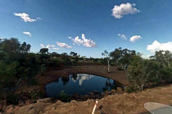
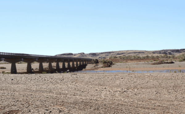
The Pear Creek Camping Area is a small campsite a short distance from the Marble Bar Road. There is a depression in the creek that holds water, but not guaranteed to have any.
Entrance to the Pear Creek Camping Area
Pear Creek Camping Area location ma ...
Read More...
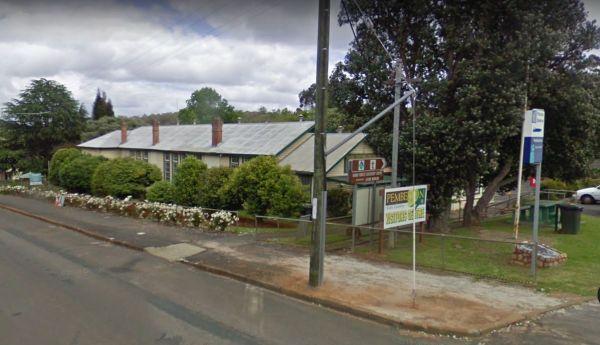
Entrance to the Pemberton Visitor Information Centre Pemberton Visitor Information Centre location map
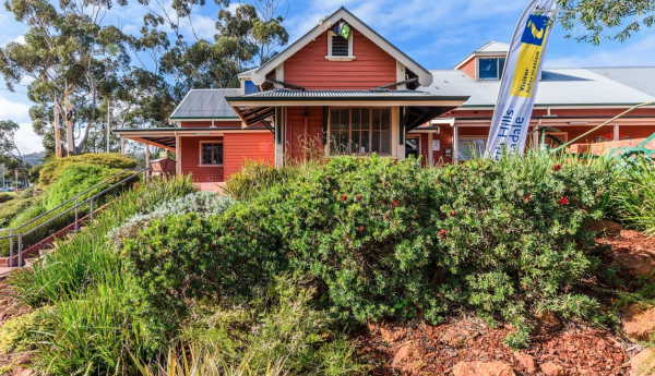
Armadale Visitor Information Centre Armadale Visitor Information Centre location map
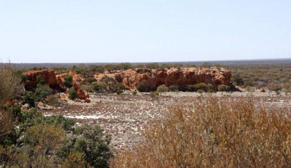
Entrance to the Peter Denny Lookout Peter Denny Lookout location map
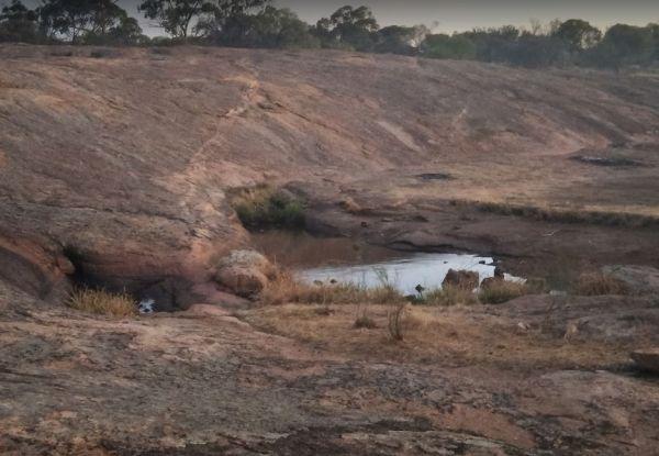
The Petrudor Rock Camping Area has plenty of space for a caravan, there is a long drop toilet and some picnic tables, plus a few walking tracks. It's a nice spot to enjoy the wildflowers when there in season, and a large expanse of granite, with flowing w ...
Read More...
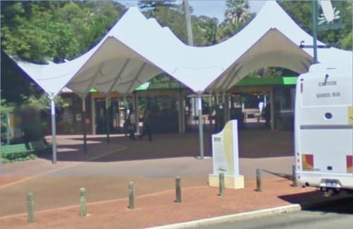
Entrance to the Pinjarra Visitors Information Centre Pinjarra Visitors Information Centre location map
Entrance to the Pinnacles Visitor Information Centre Pinnacles Visitor Information Centre location map
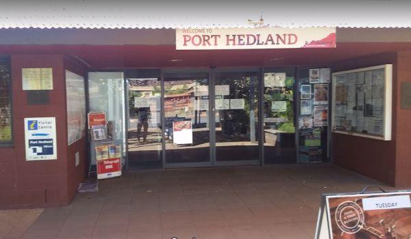
Port Hedland Visitors Information Centre
Entrance to the Port Hedland Visitors Information Centre Port Hedland Visitors Information Centre location map
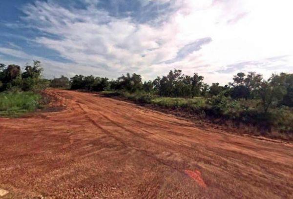
Getting to the Quandong Camping Area is a rough bush camp, so you need to bring everything you need and it's a rough ride getting in here. So make sure all your equipment is working correctly, but once there you will have a choice of a few different camps ...
Read More...
Entrance to the RAC Cervantes Holiday Park RAC Cervantes Holiday Park location map
Ravensthorpe East Rest Area
Entrance to the Ravensthorpe East Rest Area Ravensthorpe East Rest Area location map
Entrance to the Repeater Station Rest Area Repeater Station Rest Area location map
Entrance to the Robe River Rest Area Robe River Rest Area location map
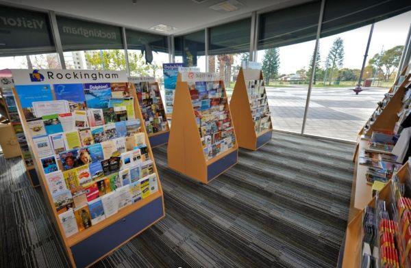
Rockingham Visitor Information Centre
Entrance to the Rockingham Visitor Information Centre Rockingham Visitor Information Centre location map
Entrance to the Roebuck Plains Rest Area Roebuck Plains Rest Area location map
Entrance to the Ross Road Rest Area Ross Road Rest Area location map
