Western Australia: A-Z
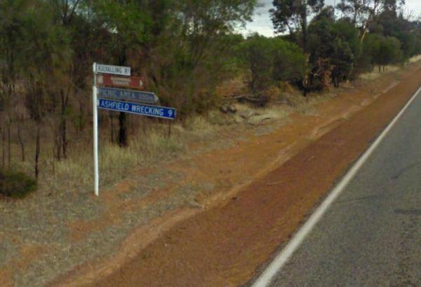
The Kulyaling Park Picnic Ground is off Kulyaling Road with plenty of space for caravans to pop in and have a picnic. There are some shady trees here and room for your dog to have a run, and this spot is approximately 200 metres from the Great Southern Hi ...
Read More...
Kumarl Siding Rest Area 24 Hour Limit
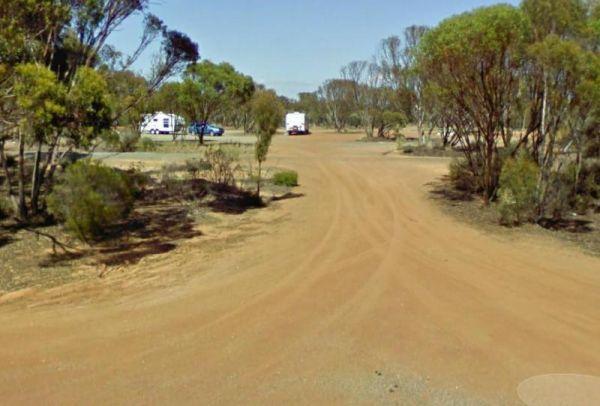
The Kumarl Siding Rest Area is a large area with some small trees offering some shade to park your caravan. There are picnic tables, fireplaces with bbq facilities, and rubbish bins so it's not a bad place for an overnighter, but you will be quite close a ...
Read More...
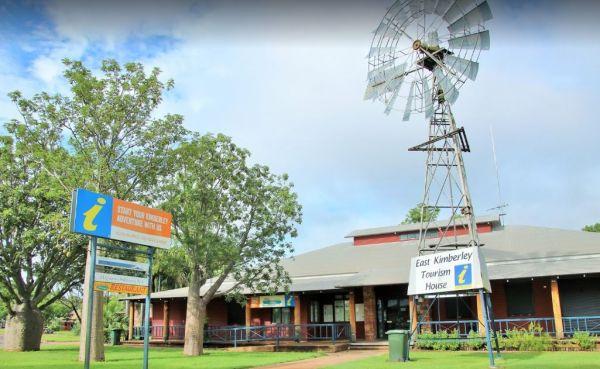
Entrance to the Kununurra Visitor Information Centre Kununurra Visitor Information Centre location map
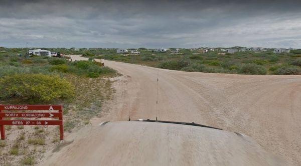
The Kurrajong (Cape Range) Campground is a beautiful campground on the Ningaloo Coast World Heritage Area, at Cape Range NP. There are drop toilets and some shaded benches.
You must book in advance if you intend to stay here. You can stay a maximum of 28 ...
Read More...
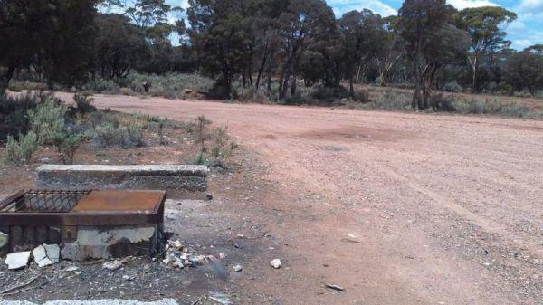
The Lake Cowan Rest Area is very close to the Coolgardie-Esperance Highway with level gravel surfaces with a few small trees for shade to park your caravan under. There are rubbish bins, fireplace with bbq facilities and for the more adventurous, you can ...
Read More...
The Lake Douglas Recreation Reserve road in, past the quarry is very corrugated that leads to a large camping area. The camping area is suitable for caravans that have levelling blocks with them. There is one long-drop toilet, picnic tables and fire pits ...
Read More...
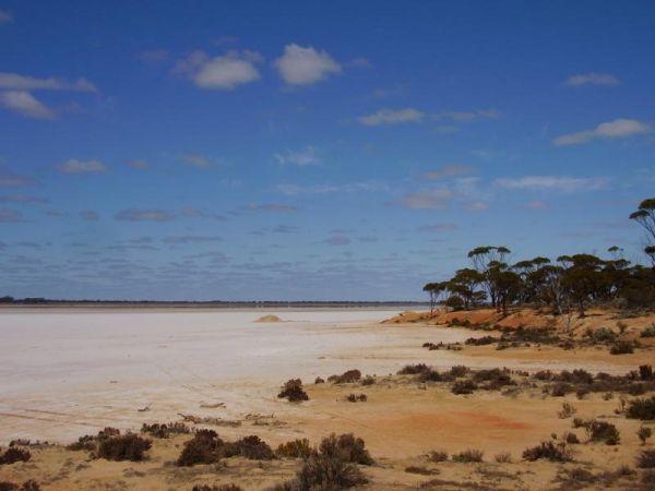
The Lake Johnston Camping Area camping ground is reasonable level for your caravan. There are fireplaces with bbq plates and a few trees for shade and quite close the salt lake itself.
Entrance to the Lake Johnston Camping Area
Lake Johnston Camping A ...
Read More...
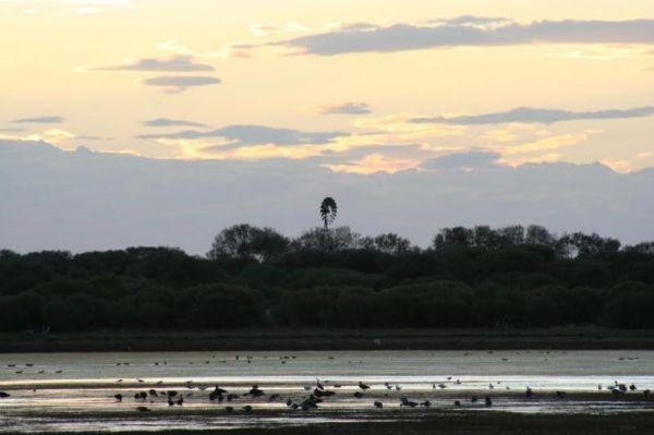
The Lake Nallan Rest Area is set back a bit from the main road on a level area of natural dirt area. There's not much to do here as this lake is often dry during drought times, so this is just a place to take a break from driving.
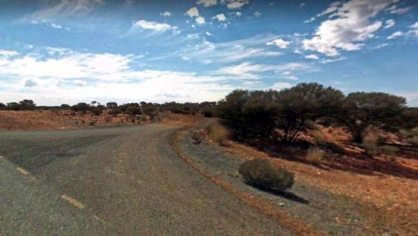
Lake Nallan Rest Area l ...
Read More...
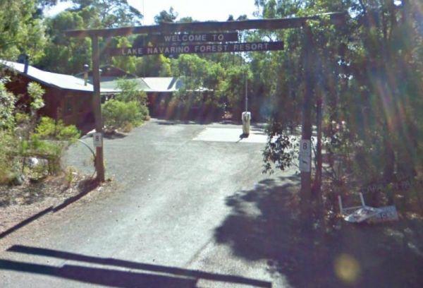
Entrance to the Lake Navarino Holiday Park Lake Navarino Holiday Park location map
Lake Towerrinning Lakeside Camping
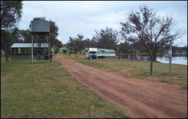
Entrance to the Lake Towerrinning Lakeside Camping Lake Towerrinning Lakeside Camping location map
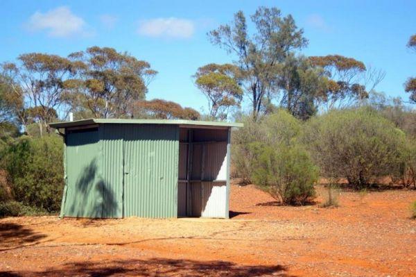
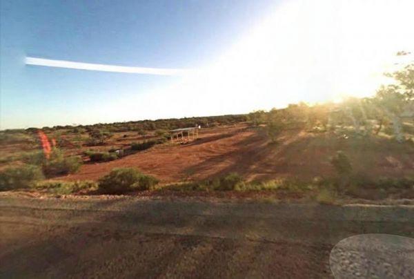
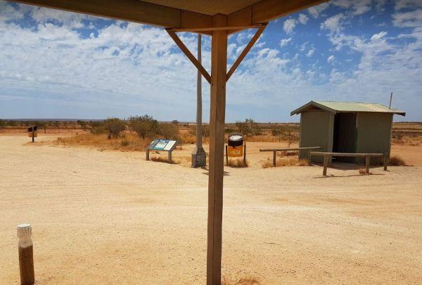
The Lake Way Rest Area is about 150 metres from the Goldfields Highway on a reasonable level surface for caravans. There is an undercover picnic table and seating, nothing you can really call shade so this is a place to pull over if your tired, rest a bit ...
Read More...
The Leinster South Rest Area is a long gravel area running about 40 meters in and parallel with the Goldfields Highway. There is plenty of space to park your caravan on level ground, with some small shrubs for shade, if you can it that.
Entrance to the L ...
Read More...
Lennard River Rest Area
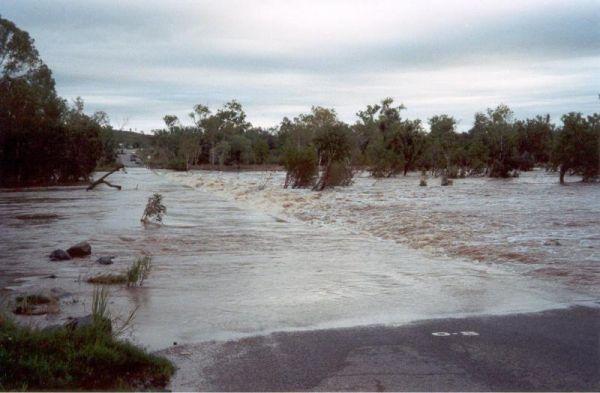
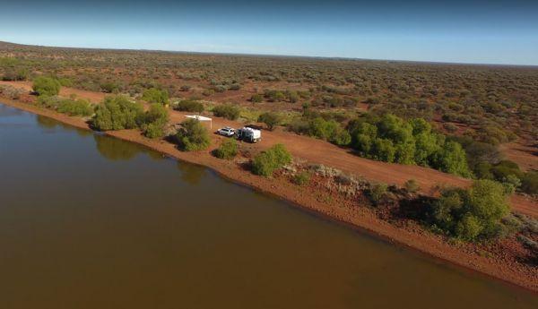
The Lennard River Rest Area is along the banks of the Lennard River, so you might be able to catch a fish here. The campsite is reasonably level and approximately 100 metres of the main road with some small trees for shade.
Entrance to the Lennard River ...
Read More...
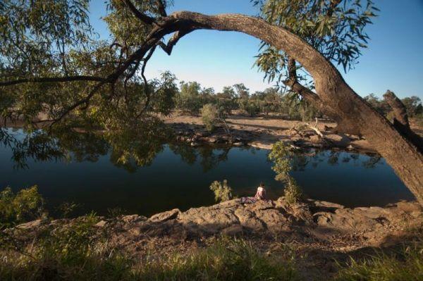
The Leycesters Rest Area has plenty of room with some sites shaded while the others are in full sun. There is a public toilet with a black water dump point, undercover picnic tables, and a rubbish bin just a short distance from the Ord River. The river is ...
Read More...
Little Freshwater Point Rest Area
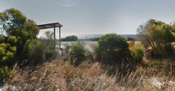
The Little Freshwater Point Rest Area is a strip of asphalt running approximately 20 meters parallel with the Indian Ocean Drive offering nice views of the Indian Ocean with a public toilet block, some rubbish bins and a nice view of the with plenty of ro ...
Read More...
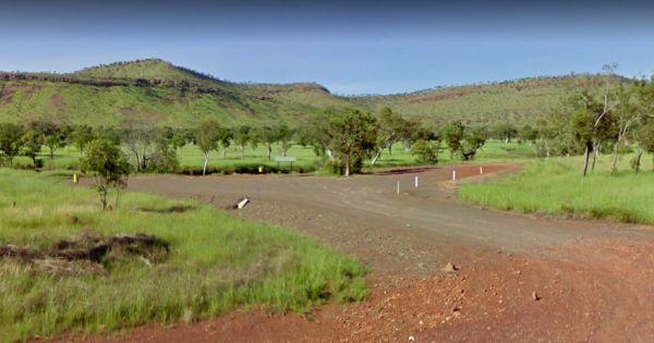
Entrance to the Lyndon River East Rest Area Lyndon River East Rest Area location map
Entrance to the Lyndon River West Rest Area Lyndon River West Rest Area location map
Entrance to the Maggie Creek Rest Area Maggie Creek Rest Area location map
Entrance to the Malcolm Dam Nature Reserve Malcolm Dam Nature Reserve location map
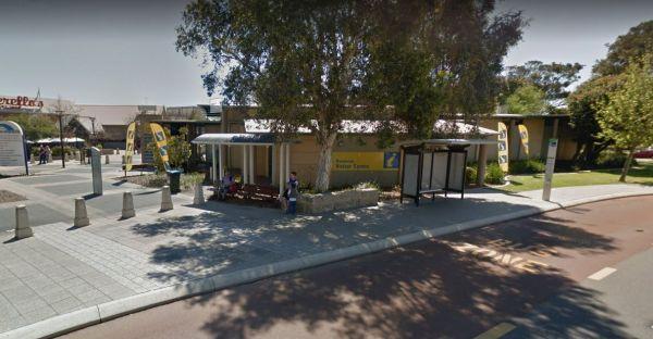
Entrance to the Mandurah Visitor Information Centre Mandurah Visitor Information Centre location map
