Western Australia: A-Z
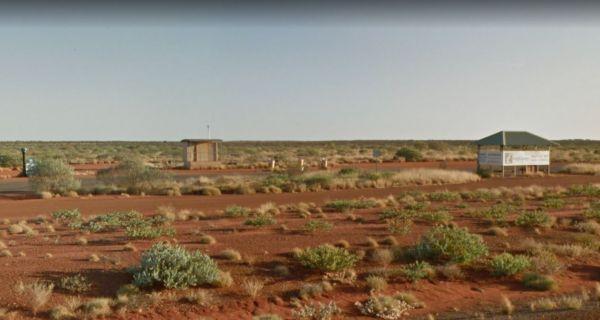
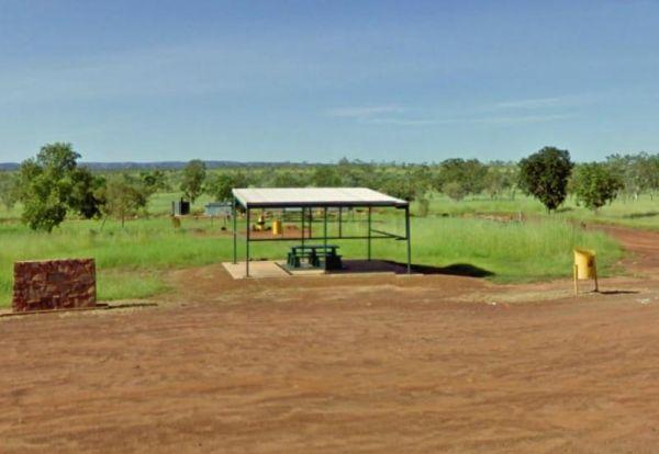
The Burkett Road Rest Area has no shade trees, a public toilet, rubbish bins, undercover picnic table with an information board, all located on a large gravel area just off the North West Coastal Highway with room to park all sized rigs. There is
Entranc ...
Read More...
Burra Rock Nature Reserve Camping Area
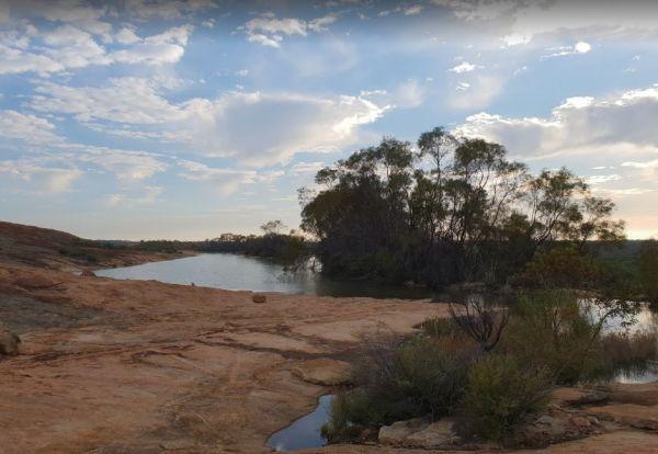
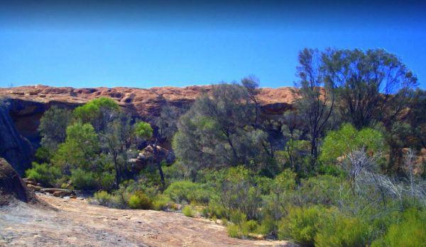
The Burra Rock Nature Reserve Camping Area is a day use area with camping allowed. There are some picnic tables, fireplace and a public toilet, and at the base of the Burra Rock is a dam, once used to water the steam trains used for carrying wood back to ...
Read More...
Burracoppin Centenary Park
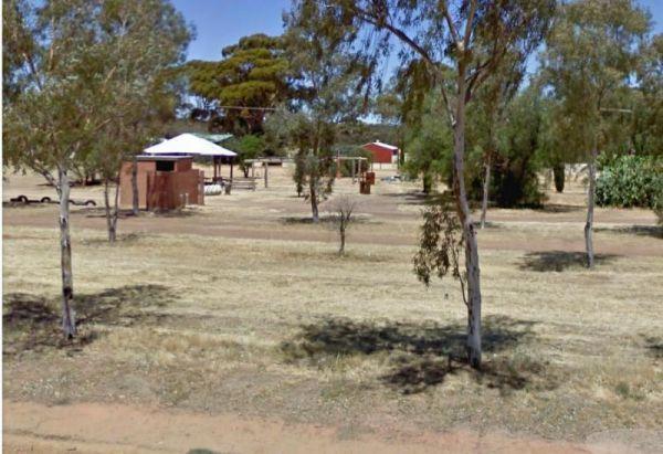
The Burracoppin Centenary Park has flushing public toilets, some shade trees, undercover picnic tables, bbqs, water taps and just across from the Tavern where you can grab a cold drink to help wash away the dust. This park is on the corner of Great Easter ...
Read More...
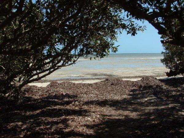
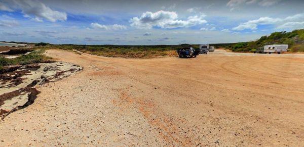
The Bush Bay Camping Area, is another easy to miss turn from the main road to the camping area. Follow the dirt road to a T junction, then turn right to the camping area right on the ocean. This campsite is very close to the ocean, and is no longer a free ...
Read More...
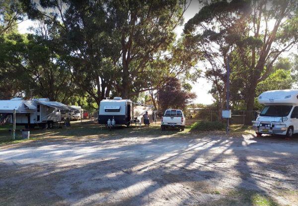
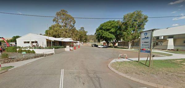
Entrance to the Bushlands Holiday Village and Caravan Park Bushlands Holiday Village and Caravan Park location map
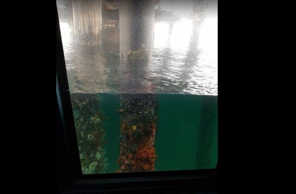
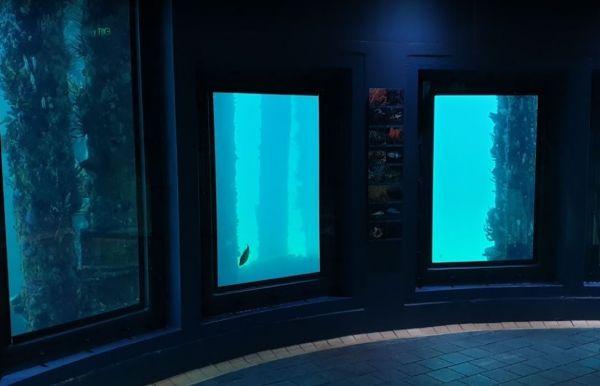
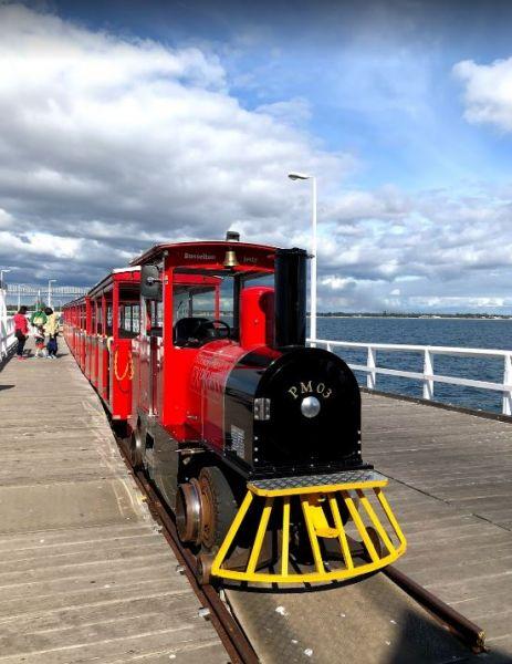
Entrance to the Busselton Underwater Observatory Busselton Underwater Observatory location map
Busselton Underwater Observatory location map
Entrance to the Busselton Visitor Information Centre Busselton Visitor Information Centre location map
The Cane River Rest Area located on the banks of the Cane River, close to the road is level with no shade to park your caravan, but you can go inland a bit further away from the highway, for a bit more privacy. Managed by Parks and Wildlife - NO CAMPING P ...
Read More...
Carlabeencabba Rockhole Rest Area
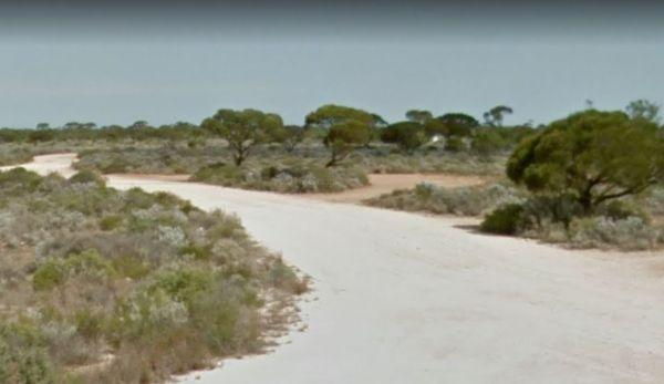
The Carlabeencabba Rockhole Rest Area has no facilities apart from a public phone and picnic tables and reasonably level ground to park your caravan on. This rest area is set back approximately 500 metres from the Eyre Highway.
Entrance to the Carlabeenc ...
Read More...
Open Hours:
JUNE - OCTOBER
Monday to Friday – 9am – 5pm
Saturday – 9am – 12pm
Sunday (June to October only) – 9am to 12pm
NOVEMBER - MAY
Monday to Friday – 9am – 5pm
Saturday – 9am – 12pm
Sunday – Closed
Christmas to New Years - Clos ...
Read More...
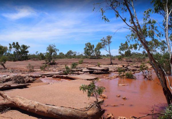
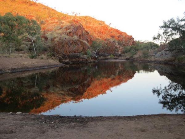
The Caroline Pool Rest Area, is a nice naturally formed water hole, so make sure you have your camera on hand to capture the wildlife at dusk coming to drink. The water level varies depending on drought conditions.
Turn off Duncan Road at GPS -18.240968, ...
Read More...
Cave Hill Camping Area
The Cave Hill Camping Area has a public toilet, fireplaces with bbq, picnic tables and some nice shady spots to camp. I would recommend a 4x4 if you wish to visit this natural rock feature, it's located approximately 90 kilometres south of Coolgardie, and ...
Read More...
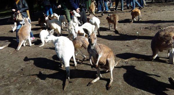
Entrance to the Caversham Wildlife Park Caversham Wildlife Park location map
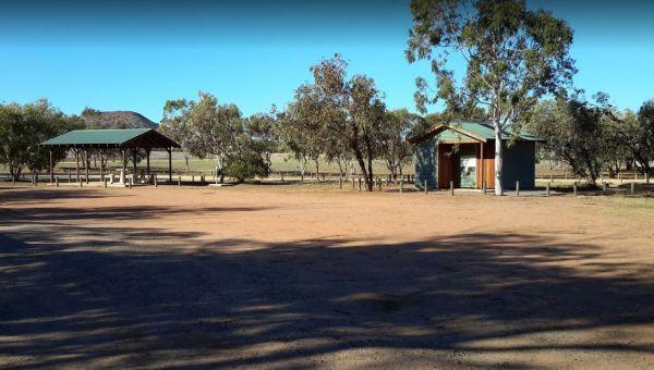
The Chapman Valley Rest Area has a few trees for shade, undercover picnic tables, undercover bbq facilities, public toilet block, rubbish bins, and it's set back on a large gravel surface, with plenty of space to park the largest caravan.
Entrance to the ...
Read More...
Entrance to the Chittering Tourist Promotion Centre Chittering Tourist Promotion Centre location map
Cliff Head North Rest Area 72 Hour LImit
The Cliff Head North Rest Area as long as you are self sufficient this is a great place for you. There are three public toilets and undercover picnic tables and rubbish bins. There is plenty of turning area for big rigs. Shade from trees for your campsite ...
Read More...
Cockburn Rest Area
Entrance to the Cockburn Rest Area Cockburn Rest Area location map
Entrance to the Cockburn South Rest Area Cockburn South Rest Area location map
Entrance to the Cohunu Koala Park Cohunu Koala Park location map https://goo.gl/maps/2pMxfstfkZVYVH7J7
