List Categories and Listings by A
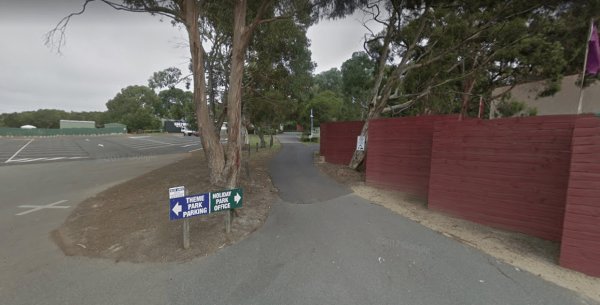
Entrance to the A Maze'N Things Holiday Park A Maze'N Things Holiday Park location map <
A-Line Holiday Park
{tab title="Local Places to Eat" class="grey"}
Red Pepper Cafe - Lansell Square, 267 High St, Kangaroo Flat
Jin Yang Chinese Restaurant, 180 High St, Kangaroo Flat
McDonald's Kangaroo Flat, 166-170 High St, Kangaroo Flat
Bee Yua ...
Read More...
A'wangralea Caravan Park
Entrance to the A'wangralea Caravan Park A'wangralea Caravan Park location map
Local weather forecast for Ararat, Victoria: Weather report Ararat
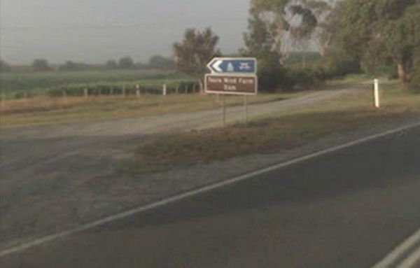
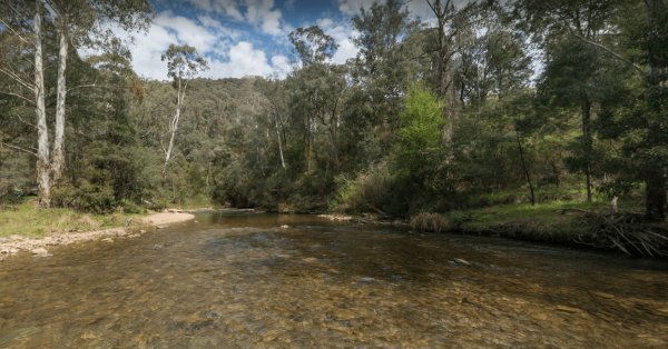
Ada River Camping Area
The Ada River Campground is isolated and quiet, and it's distance from the Princes Highway deters most overnight travellers. This campsite is set among tall gum trees with plenty of room for your caravan to spend a pleasant day or two. You have drop toile ...
Read More...
Entrance to the Agnes River Rest Area Agnes River Rest Area location map
The AH Youngs Camping Area has long drop toilets, and the Buckland River water is clear with plenty of places to swim. The campsite has large grassy areas to park your caravan, or pitch a tent. AH Youngs Camping Area location map
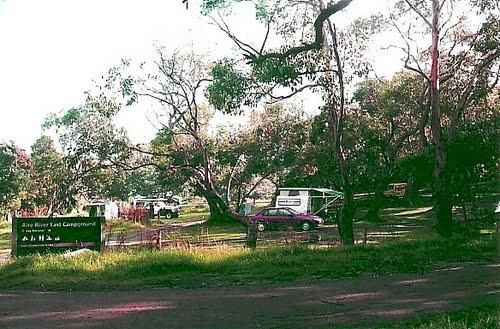
Aire River East Campground - Otway National Park
When camping at Aire River East Campground - Otway National Park.
For permits and information, contact Parks Victoria: 13 19 63 (within Australia)
Entrance to the Aire River East Campground - Otway National Park
Aire River East Campground - Otway Nat ...
Read More...
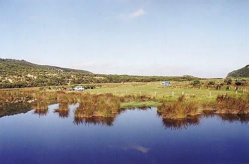
Aire River West Campground - Otway National Park
When camping at Aire River West Campground - Otway National Park, remember to Bring your own water & firewood.
For permits and information contact Parks Victoria: 13 19 63 (within Australia)
Entrance to the Aire River West Campground - Otway Nationa ...
Read More...
Aireys Inlet Holiday Park
Entrance to the Aireys Inlet Holiday Park Aireys Inlet Holiday Park location map
Entry from Cardinia Street (Gate 5) Please book ahead Entrance to Akoonah Park Camping & Caravan Park Akoonah Park Camping & Caravan Park location map
The Albury Visitor Information Centre is a well laid out Information Centre has everything you need to know about Albury, Wodonga Entrance to the Albury Visitor Information Centre Albury Visitor Information Centre location map
There is a Market on 2nd Saturday of Every Month Entrance to Alexandra Showgrounds Caravan Park Alexandra Showgrounds Caravan Park location map
Entrance to the Alexandra Tourist Park Alexandra Tourist Park location map
Alexandra Visitor Information Centre is next to the Rotary Park that has free electric bbq's, picnic tables, rubbish bins, children's playground etc.
Open 7 Days: 9.00 to 5.00pm daily
Entrance to the Alexandra Visitor Information Centre
Alexandra Vis ...
Read More...
Allans Flat Reserve
Allans Flat Reserve is just a short distance off the main road. The turn-off is easy to miss. Walk around the lake, enjoy the surrounding countryside' sit back and Relax.This lake was created by barge mining during the 1850s to 1890's in the quest for Gol ...
Read More...
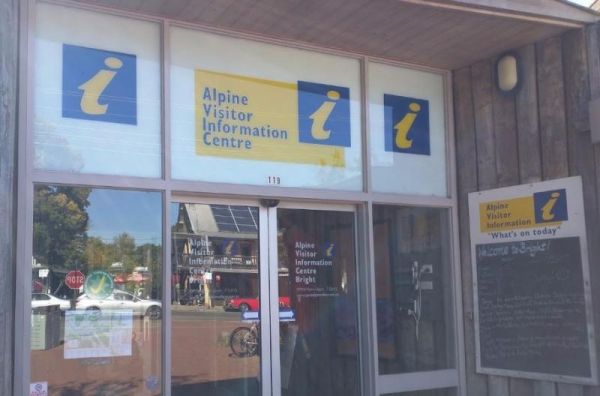
The Alpine Visitor Information Centre is located in the township of Bright and open seven days a week (excluding Christmas day). Entrance to the Alpine Visitor Information Centre Alpine Visitor Information Centre location map
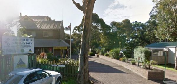
Entrance to the Anchor Belle Holiday Park Anchor Belle Holiday Park location map
Andersons Camping Area
Andersons Garden Camping Area is located within the Mount Disappointment State Forest, with the Sunday Creek running along this campground, it's a nice place for a tent camping adventure.
Entrance to the Andersons Camping Area
Andersons Camping Area l ...
Read More...
