List Categories and Listings by P
Painters Island Caravan Park
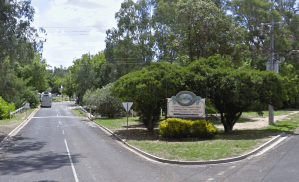
Entrance to the Painters Island Caravan Park Painters Island Caravan Park location map
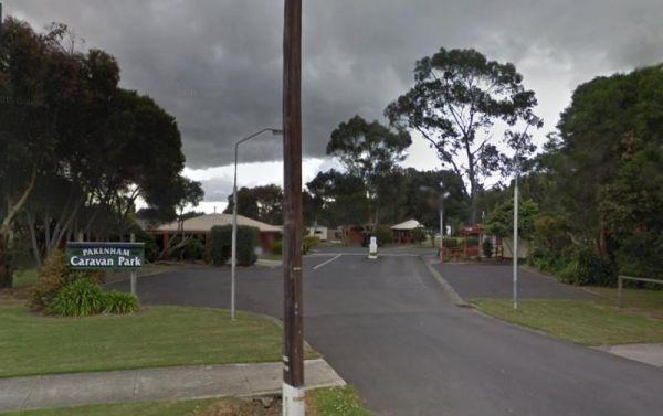
Entrance to the Pakenham Caravan Park Pakenham Caravan Park location map
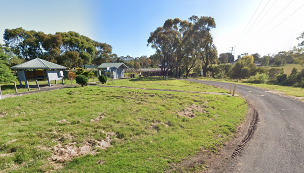
Entrance is from Harris Street. Panmure Campgroundlocation map
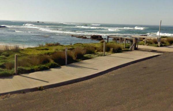
Paradise Beach Camping Area
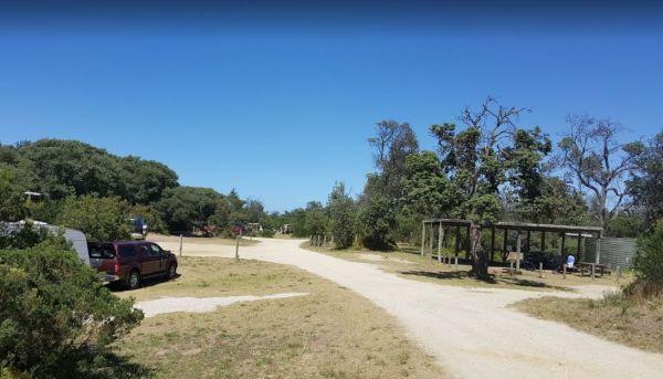
From Paradise Beach Camping Area you can walk over the sand dunes and take a stroll along the ninety mile beach. If fishing is your thing, wait till close to sundown and into twilight, you can catch Gummy Sharks quit close to the beach. If you are lucky y ...
Read More...
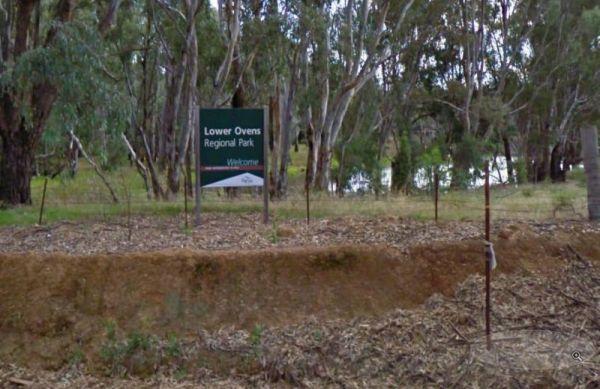
The Parolas Bend Camping Area is a rough bush camp, you might be lucky to catch a fish for dinner from her since your adjacent the Ovens River, or you can also stay at the Bundalong Riverside Caravan Park if you prefer.
Entrance to the Parolas Bend Campi ...
Read More...
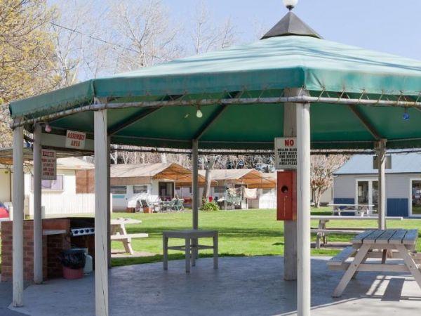
Entrance to the Peninsula Holiday Park Peninsula Holiday Park location map
Peppermint Ridge Camping Ground has access to the Big River with two camping areas available. This is a rough bush camp, so you will need to bring everything you need and take your rubbish with you when you leave.
Peppermint Ridge Camping Ground location ...
Read More...
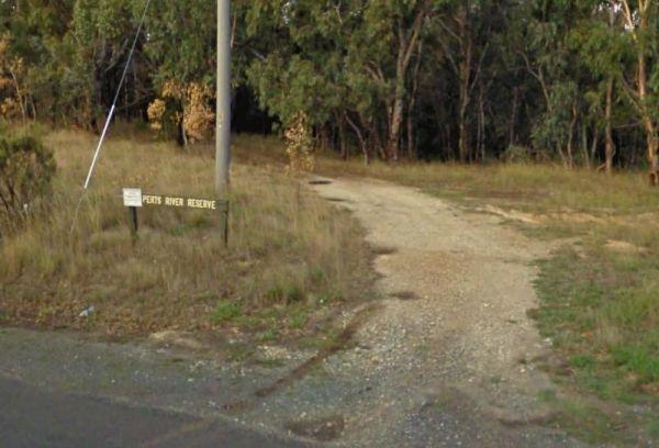
Entrance to the Perts River Reserve Perts River Reserve location map
Peterborough Park Rest Area
Entrance to the Peterborough Park Rest Area Peterborough Park Rest Area location map
Peters Bridge Rest Area
The Peters Bridge Rest Area is a large grassy area next to the Mitta Mitta River. This is a nice rest spot to try your kayak out, and maybe a bit of fishing also. Entrance to the Peters Bridge Rest Area Peters Bridge Rest Area location map
Entrance to the Pheasant Creek Flora Reserve Pheasant Creek Flora Reserve location map
Entrance to the Phillip Island Caravan Park Big4 Phillip Island Caravan Park Big4 location map
The Phillip Island Information Centre has lots of information available, and you can purchase tickets for the penguin parade from here also. Entrance to the Phillip Island Information Centre Phillip Island Information Centre location map
Entrance to the Piangil Memorial Park Rest Area Piangil Memorial Park Rest Area location map
Entrance to the Piangil North Rest Area Piangil North Rest Area location map
The Piangil West Rest Area is set well back from the Mallee Highway, and is a truck stop, so expect some company if you pop in here. Entrance to the Piangil West Rest Area Piangil West Rest Area location map
Pickerings Flat Camping Area
Pickerings Flat Camping Area is a rough bush camp, there are a few Old Mines in the area, so take care if walking off the beaten track. Pickerings Flat Camping Area Location Map
The Picnic Point Camping Area is next to the Goulburn River, with plenty of water activities for you to pursue. Time to see if the Kayak has a leak in it. Entrance to the Picnic Point Camping Area Picnic Point Camping Area location map
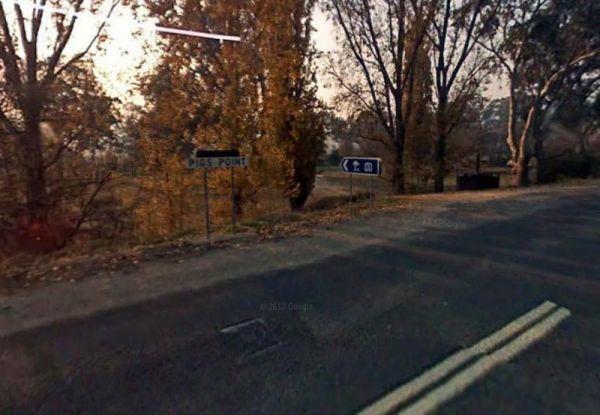
Pigs Point Reserve Camping Area
The Pigs Point Reserve Camping Area is a great spot the Mitta River on the omeo highway about 14 km from Tallangatta. It has mobile phone reception, clean long drop toilets, large well maintained camping areas and fire pits. Great area for fishing, trout, ...
Read More...
Entrance to the Pinasters Picnic Rest Area Pinasters Picnic Rest Area location map
