Victoria: A-Z
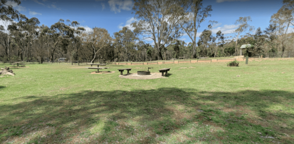
To camp at the Boreang Camping Area you need to contact Brambuk the National Park & Cultural Centre in Halls Gap on ph: (03) 5361 4000. NOTE: 15 sites available The Boreang Camping Area Boreang Camping Area location map
Boundary Bend East Park Rest Area
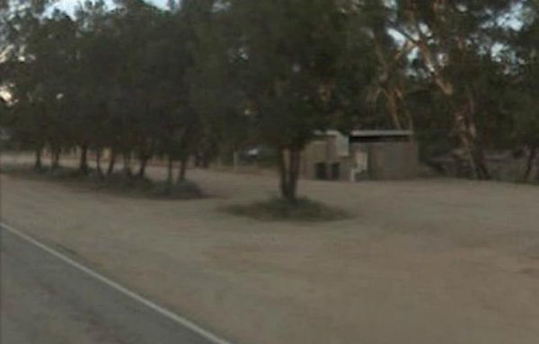
Boundary Bend East Park Rest Area has a public toilet and is a nice spot alongside the Murray River to kill a few hours. Entrance to the Boundary Bend East Park Rest Area Boundary Bend East Park Rest Area location map
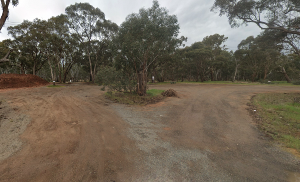
From the Bourkes Bridge Rest Area you can walk over to the bridge and take some fishing tackle with you. Entrance to the Bourkes Bridge Rest Area Bourkes Bridge Rest Area Location Map
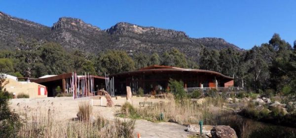
The Brambuk the National Park & Cultural Centre is a fascinating place for people to go to understand about our first peoples connection to the mountains the rivers and the region. There is a Cafe onsite, and some of its menu items include, Kangaroo, ...
Read More...
Branxholme Rest Area
The Branxholme Rest Area is an ideal rest area, with excellent shady areas on the highway. The shady parking bay on the highway has been developed as a commemorative area for soldiers lost during World War One. Byaduk is home to the magnificent Byaduk cav ...
Read More...
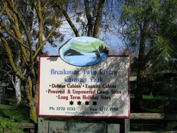
Breakaway Twin Rivers Caravan Park location map
At the Brentnalls Beach Camping Area, you will need to bring everything you need for your stay, and take away your rubbish with you when you leave. This is a real bush camp with fishing available from your doorstep.
Brentnalls Beach Camping Area location ...
Read More...
Bridgewater on Loddon Rest Area
The Bridgewater on Loddon Rest Area has a public toilet, and plenty of room to park your camping rigs. When reasonable water levels flow, the Mill Rapid downstream of the Calder Hwy bridge provides technical whitewater kayaking of Grade 3 standard featuri ...
Read More...
Bridgewater on Loddon Tourist Park
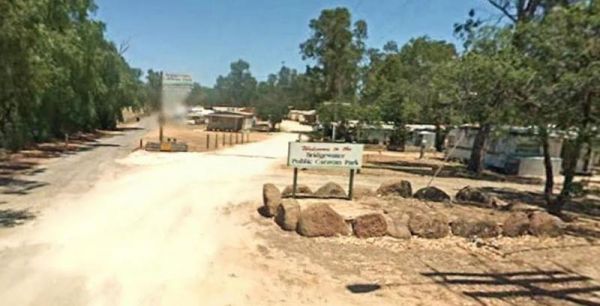
Entrance to the Bridgewater on Loddon Tourist Park Bridgewater on Loddon Tourist Park location map
Entrance to the Bright Accommodation Park Bright Accommodation Park location map
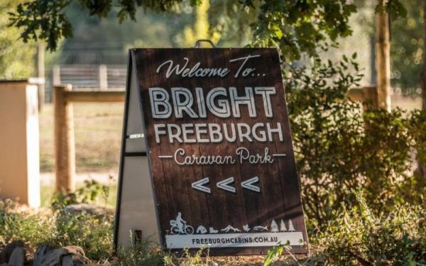
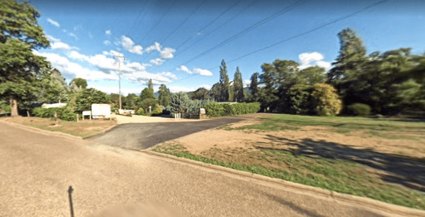
Entrance to the Bright Freeburgh Caravan Park Bright Freeburgh Caravan Park location map
Entrance to the Bright Pine Valley Tourist Park Bright Pine Valley Tourist Park location map
The Bright Riverside Holiday Park is located on right the banks of the Ovens River, with plenty of poewed and unpowered sites with riverfront views, the only drawback is it close proximity to HT powerlines buzzing overhead.
Entrance to the Bright Riversi ...
Read More...
Brightlight Saddle Rest Area
The Brightlight Saddle Rest Area is on the edge of the Princes Highway, with plenty of room to park your caravan. There are a few picnic tables and a rubbish bin, and plenty of trees for shade.
Entrance to the Brightlight Saddle Rest Area
Brightlight ...
Read More...
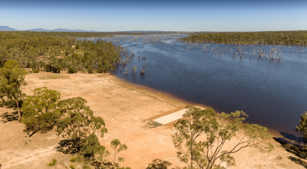
Brodies Camping Area has plenty of places to camp and it's for the kayak to be taken off the roof rack, and explore some of the lake, take your camera and fishing gear with you to capture that Giant Redfin. Brodies Corner Camping Area location map
Broken Creek Bush Camp
Entrance to Broken Creek Bush Camp Broken Creek Bush Camp Location Map
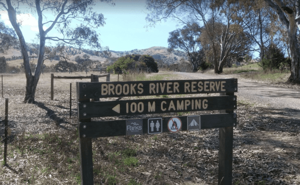
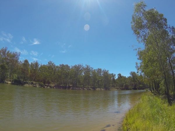
The Brooks River Reserve Camping Area can be dusty during the summer months and very quiet and peaceful, it's a lovely spot with a long drop toilet. It's a bit of a steep 200 metre walk down to the Goulburn River, but not bad one there.
Brooks River Rese ...
Read More...
Bruces Beach Camping Area is another secluded rough bush camp with a nice waterfront view, from the campsite you choose. Bruce's Beach Camping Area location map
The Bruces Bend Camping Area has Non-flush toilets and picnic tables and a boat ramp all close to the Murray River. Bruces Bend Camping Area location map
Buckety Plain Camping Area is a great campsite and not far from the Bogong High Plains road. There is abundant open space where you can pitch tents, or set up a camper trailer. At this campsite you'll find picnic tables and fireplaces along with a single ...
Read More...
