Victoria: A-Z
Entrance to the Cowes Caravan Park Cowes Caravan Park location map
CRB Camping Area
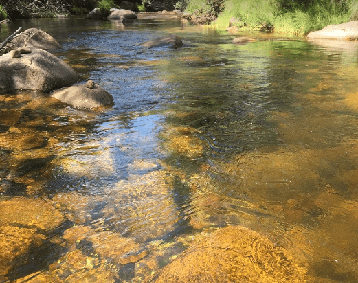
CRB Camping Area is close to the Cobungra River, so have a go at fishing or swimming, and for the more adventurous, grab your kayak and navigate upstream a bit. h3>CRB Camping Area location map
Entrance to the Creswick Calembeen Lake Caravan Park Creswick Calembeen Lake Caravan Park location map
Crystal Brook Holiday Centre
Entrance to the Crystal Brook Holiday Centre Crystal Brook Holiday Centre location map
Entrance to the Culgoa South Rest Area Culgoa South Rest Area location map
Cullulleraine Rest Area
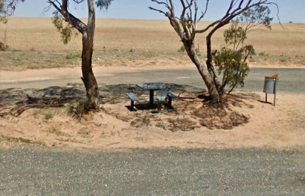
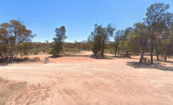
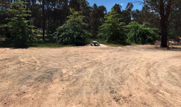
At the Cullulleraine Rest Area there is not a lot to do, apart from sitting down at the picnic tables, and watch the traffic go by. A couple of rubbish bins are also provided.
Entrance to the Cullulleraine Rest Area
Cullulleraine Rest Area location ma ...
Read More...
Entrance to the Cumberland River Holiday Park Cumberland River Holiday Park location map
The Dadswells Bridge South Rest Area, has a few trees for shade, a couple of picnic tables and rubbish bins. This is a place to pull over when feeling like you need a break from driving.
Entrance to the Dadswells Bridge South Rest Area
Dadswells Bridg ...
Read More...
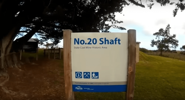
The Dalyston No 20 Shaft Historical site is the site of Australia's works underground coal mining disaster. the events that occured here changed all underground mining in Australia forever, with improved safety conditions, and making them mandatory across ...
Read More...
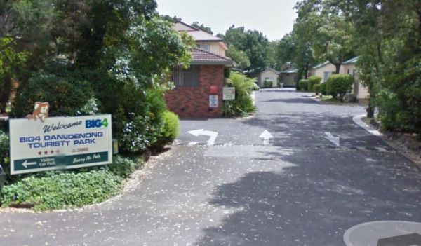
Dandenong Tourist Park Big4
Entrance to the Dandenong Tourist Park Big4 Dandenong Tourist Park Big4 location map
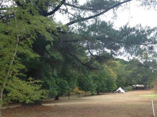
Dando's Camping Area
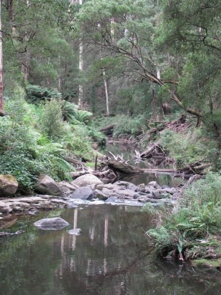
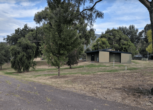
The Dando's Camping Area is well set up campsite with lots of camping areas and relatively easy access by car. The river is very close and easily accessible. There's 2 clean drop toilets, and some fire pits with bbq swing plates. The Dando's Camping Area ...
Read More...
Danyo Rest Area
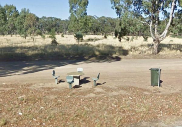
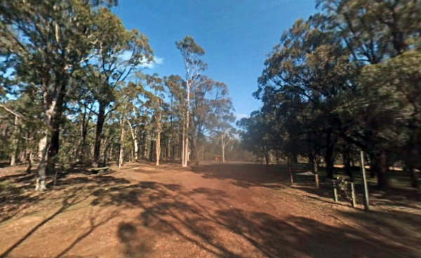
Danyo Rest Area has a picnic table and seats shaded by some trees. it's a handy place to pull over and take a break from driving. Entrance to the Danyo Rest Area Danyo Rest Area location map
Entrance to the Dargile Plantation Camping Area location map Dargile Plantation Camping Area Location Map
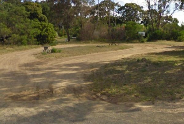
The Dartmoor Turnoff Rest Area has plenty of room to park your caravan for the night. Shade is fairly limited and there are two picnic tables at your disposal here. Entrance to the Dartmoor Turnoff Rest Area Dartmoor Turnoff Rest Area location map
Entrance to the Dartmouth Alpine Caravan Park Dartmouth Alpine Caravan Park location map
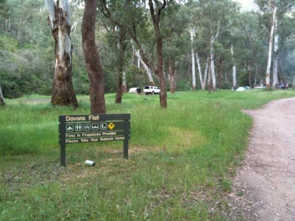
Davons Flat Camping Area
The Davons Flat Camping Area is a beautiful spot alongside the Howqua River and hugely popular. It is part of the Howqua Hills Historic area and just next door to Sheepyard Flats another very popular camping area. This area was used for gold mining, so if ...
Read More...
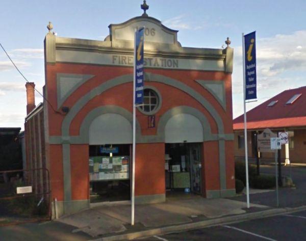
Daylesford Regional Visitor Information Centre
Daylesford Regional Visitor Information Centre, has the best information so you can plan which sights to visit first. There are plenty of information pamphlets to peruse.
Entrance to the Daylesford Regional Visitor Information Centre
Daylesford Region ...
Read More...
Daylesford Victoria Caravan Park
Entrance to the Daylesford Victoria Caravan Park Daylesford Victoria Caravan Park location map
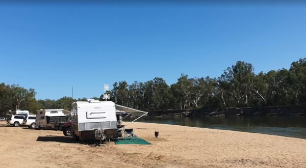
Dead River Beach Camping Area is great when it's not raining, if you're unfortunate and it dos rain, the whole camp gets flooded. Apart from that it's a nice place to stay for an hour or two on the banks of the Murray River.
Dead River Beach Camping Area ...
Read More...
The Dederang North Rest Area is a nice place to pull over if you are feeling tired, grab a bite to eat, then on your way again. Entrance to the Dederang North Rest Area Dederang North Rest Area location map
