Victoria: A-Z
Forges Beach No 1
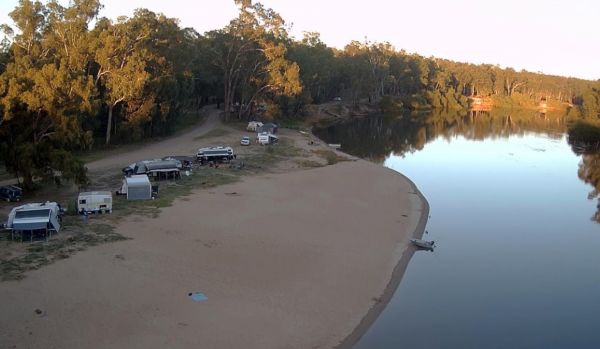
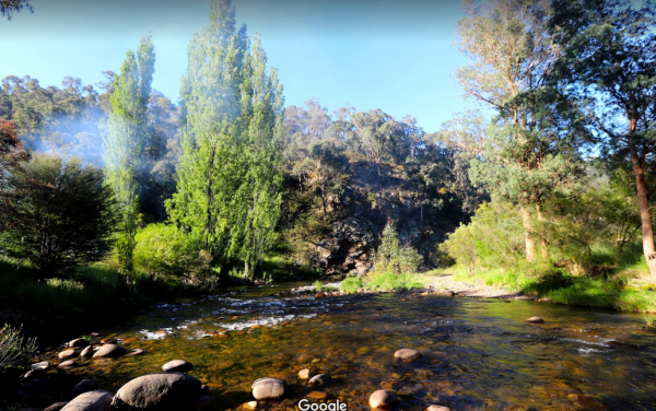
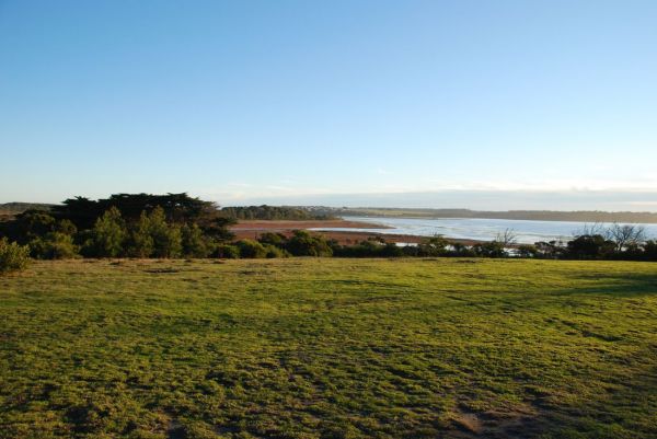
Forges Beach No 1 can accommodate large vans, and provides excellent camping right on the Murray River. This campsite is a safe place for the kids to swim and is very popular during public holidays. There are long drop toilets at the campground.
Forges B ...
Read More...
Foster North Scenic Lookout
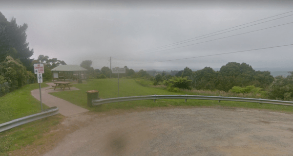
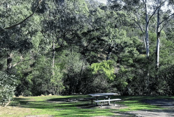
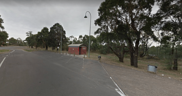
The Foster North Scenic Lookout, there are undercover picnic tables and a few rubbish bins to make your break from driving rather pleasant. Entrance to the Foster North Scenic Lookout Foster North Scenic Lookout location map
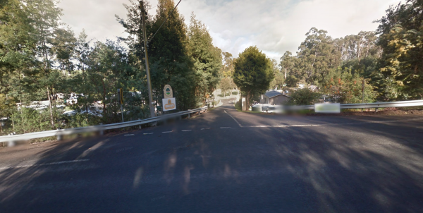
The Franklin River Reserve is close to the Franklin River, with wood BBQ's and picnic tables scattered around. Entrance to the Franklin River Reserve Campground Franklin River Reserve Campground location map
Franklinford Streamside Reserve
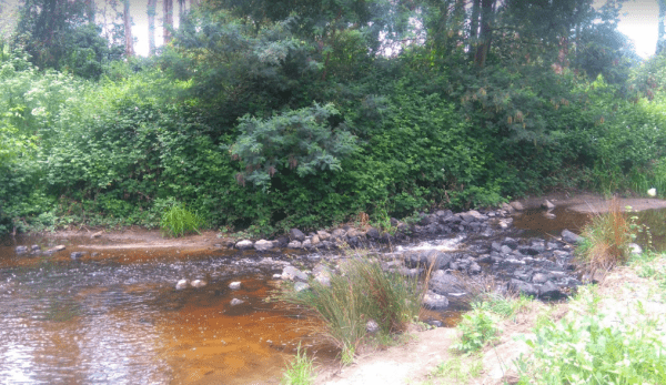
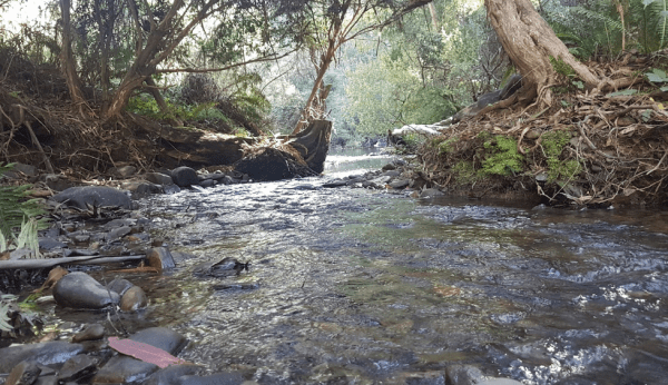
The Franklinford Streamside Reserve, is best suited to vehicle based camping or small camper trailers etc. This is a small Nature preserve that has mobile phone coverage and a fireplace on the banks of the Jim Crow Creek.
Map of the Franklinford Streamsi ...
Read More...
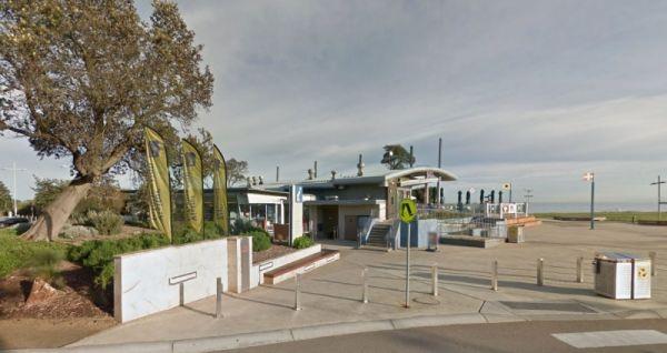
The Frankston Visitor centre is next to an Award winning beach, located on Port Phillip Bay, and the Frankston pier is within easy walking distance for those who like fishing.Be sure to check out the locally made gifts and Souvenirs while your in the Fran ...
Read More...
The Frenchmans Creek Camping Area is a really nice peaceful and quiet camping ground next to the Big River for fishing. There are lots of tracks to explore and heaps of spots to camp and the campsites are better suited to vehicle based camping rather than ...
Read More...
Freshwater Lake Rest Area
Entrance to the Freshwater Lake Rest Area Freshwater Lake Rest Area location map
Froam Campground
Froam Campground is a small camping and picnic area on the banks of the Freestone Creek. Visitors can gain access to Blue Pool via the Freestone Creek Walking Track, here you will find a nice swimming hole. Additional campsites are located further along F ...
Read More...
Frys Flat Camping Area
Frys Flat Camping Area is a picturesque campsite with a long drop toilet, and fire pits with the Howqua Hills Historic Walk on your doorstep and it will take you around 1 1/2 hours to complete. The king parrots and kookaburras are overly friendly, so watc ...
Read More...
The Gang Gang Gully Camping Area has no rubbish bins onsite, you should take your rubbish home with you. If you want to light a fire, gather only dead wood and don't cut down any trees. Gang Gang Gully Camping Area location map
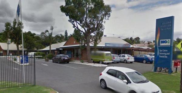
Entrance to the Geelong Discovery Park Geelong Discovery Park location map
Entrance to the Geelong Visitor Information Centre Geelong Visitor Information Centre location map
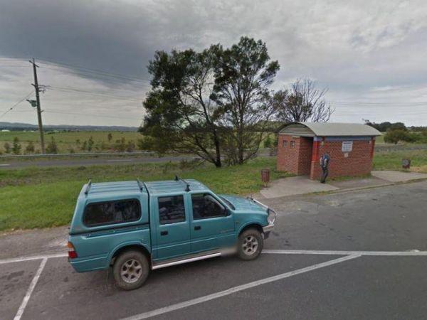
The Genoa Rest Area has a General store just over the footbridge, so you can stock up your larders, and access to a public phone box if needed. Entrance to the Genoa Rest Area Genoa Rest Area location map
The Girgarre Dump Point is Behind the Memorial Hall, with easy access. Enquire at Post Office for access.
The Gisborne Northbound Rest Area is a popular Truck stop with plenty of parking for large Caravans and RV's. Entrance to the Gisborne Northbound Rest Area Gisborne Northbound Rest Area location map
Entrance to the Gisborne Southbound Rest Area Gisborne Southbound Rest Area location map
Glasshouse Camping Area
The Glasshouse Camping Area is a nice free camp with no amenities. Grab your camera and capture what you see. P.S. No Camping is permitted closer than 50 meters to the water.
Entrance to the Glasshouse Camping Area
Glasshouse Camping Area location map ...
Read More...
Glen Cromie Reserve
Entrance to the the Glen Cromie Reserve
Glen Road Recreation Reserve Rest Area
Entrance to the Glen Road Recreation Reserve Rest Area Glen Road Recreation Reserve Rest Area location map
Glendinning Camping Area has plenty of space for you to find that perfect spot to setup camp. There are long drop toilets, views of grampians, and good fishing spots. Entrance to Glendinning Camping Area Glendinning Camping Area Location Map
