Victoria: A-Z
Healesville Sanctuary
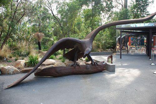
The Healesville Sanctuary is a Wonderful Sanctuary set in a bush environment. There are plenty of native animals to view in a well laid out zoo suitable for all ages. Entrance to the Healesville Sanctuary Healesville Sanctuary location map
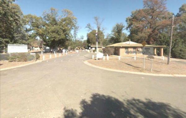
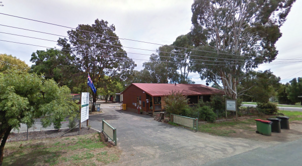
Heathcote Queen Meadow Caravan Park Entrance to the Heathcote Queen Meadow Caravan Park <h3>Heathcote Queen Meadow Caravan Park location map
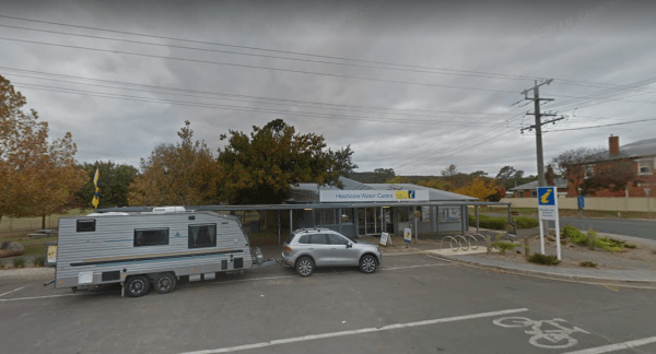
Heathcote Visitor Information Centre Open Hours:9.00am to 5.00pm everyday Entrance to the Heathcote Visitor Information Centre Heathcote Visitor Information Centre location map
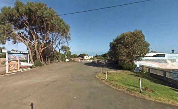
Entrance to the Henty Bay Beach Front Van & Cabin Park Henty Bay Beach Front Van & Cabin Park location map
Heritage Park
Heritage Park location map
Entrance to the the High Country Holiday Par.
Hiscocks Crossing Camping Area is situated on the Banks of the Crawford River, with camping permitted only at Hiscocks Crossing, where the public toilets are provided. This is 4x4 country Hiscocks Crossing Camping Area Location Map
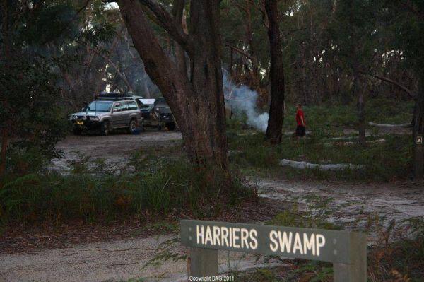
The Holey Plains State Park - Harriers Swamp Campground is 10kms south east of Rosedale. The park is situated south of the Princes Highway between Rosedale and Sale. The main access is from Rosedale, via the Rosedale Willung Road and Recreation Racecourse ...
Read More...
Honey Hush Caravan Park
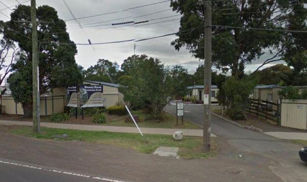
Entrance to the Honey Hush Caravan Park Honey Hush Caravan Park location map
Hopetoun Rest Area
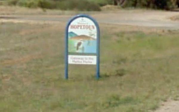
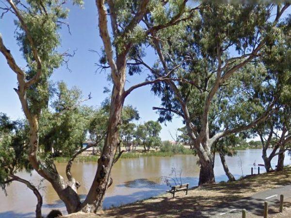
The Hopetoun Free Dump Point has now been installed into the rest area, you can take some time off driving, and stroll around the lake if your up to it. Entrance to the Hopetoun - Free Dump Point Hopetoun - Free Dump Point location map
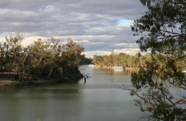
The Horseshoe Bend Camping Area has one long drop toilet, and lots of level ground to park your caravan next to the Murray River. This campsite is good for boating, skiing, and fishing or just plain relaxing. Plenty of spots along the Murray and not too f ...
Read More...
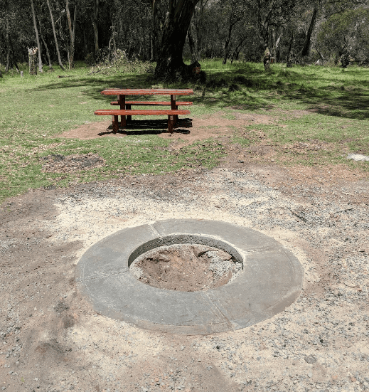
The Horseyard Flat Camping Area has a nice and the stunning walk to the Falls and gorge. There are lots of 4x4 tracks to explore, the lower campgrounds back right onto the Moroka River. Horseyard Flat Camping Area location map
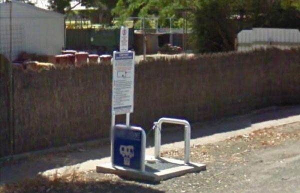
The Horsham - Free Dump Point is located in Firebrace Street just outside the Horsham Caravan Park and not far from the Wimmera River. Entrance to the Horsham - Free Dump Point Horsham - Free Dump Point location map
Entrance to the Horsham Riverside Caravan Park Horsham Riverside Caravan Park location map
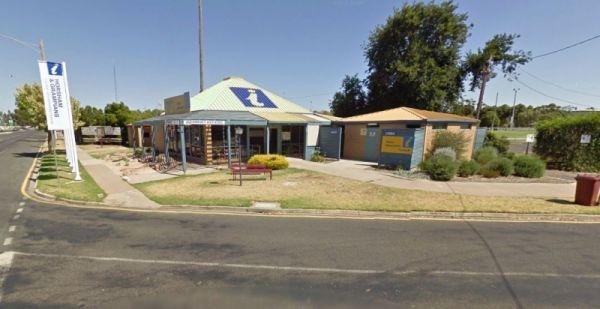
The Horsham Visitor Information Centre is well worth a visit if you intend to spend a couple of days in the region, and especially if it's your first visit to Horsham.
Entrance to the Horsham Visitor Information Centre
Horsham Visitor Information Cent ...
Read More...
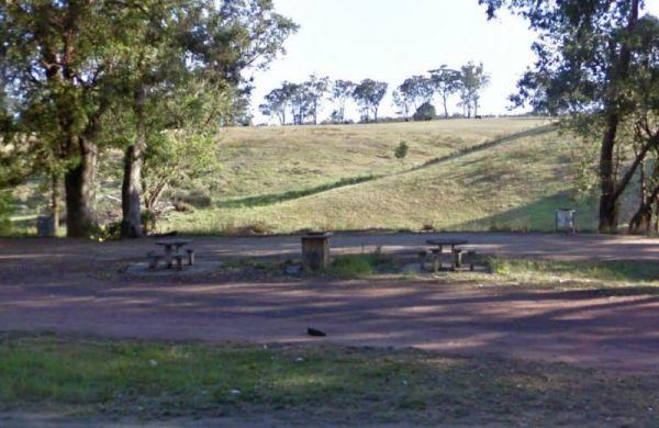
Set next to the Hospital Creek and just off the Princess Highway, Its a place to stop and have a BBQ at. Entrance to the Hospital Creek Rest Area Hospital Creek Rest Area location map
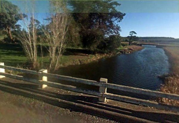
The Hotspur Bridge has a few good fishing spots, and it's on the banks of the Crawford River, with plenty of room to turn around. Bear in mind this place can get very boggy if it rains. Entrance to the Hotspur Bridge Hotspur Bridge location map
Howitt Park
Entrance to the Howitt Park Howitt Park location map
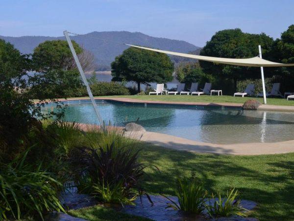
Entrance to the Howqua Valley Resort Howqua Valley Resort location map
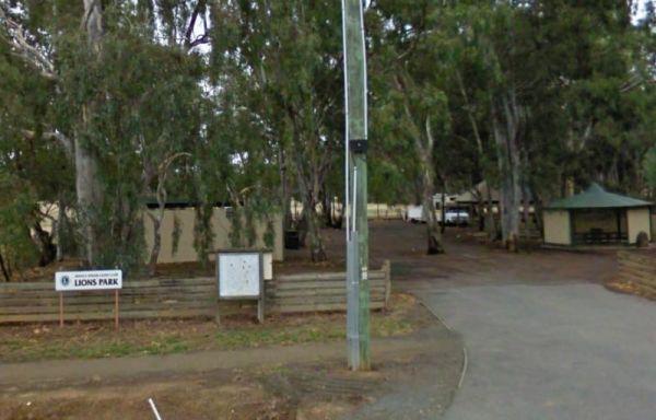
Entrance to the Huntly Lions Park Rest Area Huntly Lions Park Rest Area location map
