Victoria: A-Z
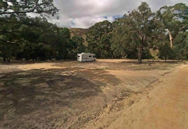
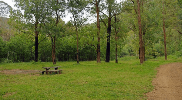
The Hunts Bridge Camping Area has plenty of space and shade next to the Moorabool River West Branch with a deep water hole for good swimming. It's recommended to get there early, as the best camping spots go fast.
Entrance to the Hunts Bridge Camping Are ...
Read More...
Entrance to the Hynes Reserve - Water Reserve Camping Area Hynes Reserve - Water Reserve Camping Area location map
Idleours Caravan Park
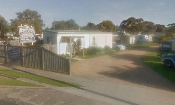
Entrance to the Idleours Caravan Park Idleours Caravan Park location map
Indented Head Bellarine Bayside Holiday Parks
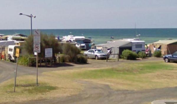
Entrance to the Indented Head Bellarine Bayside Holiday Parks Indented Head Bellarine Bayside Holiday Parks location map
Indi Bridge Reserve Camping Area
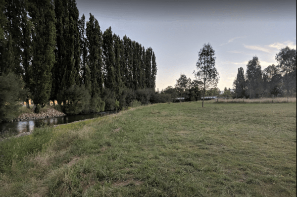
The Indi Bridge Reserve Camping Area is an absolutely awesome campground with a long drop toilet. This is a nice place for fishing, relaxing and the occasional photograph of the one that got away.
Note: There is an irrigation pump that starts up in dry p ...
Read More...
Indigo Creek Rest Area
Entrance to the Indigo Creek Rest Area Indigo Creek Rest Area location map
Entrance to the Inglewood East Rest Area Inglewood East Rest Area location map
Entrance to the Inverloch Foreshore Camping Inverloch Foreshore Camping location map
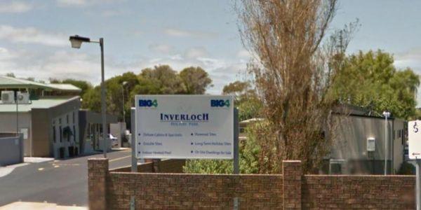
Entrance to the Inverloch Holiday Park BIG4 Inverloch Holiday Park BIG4 location map
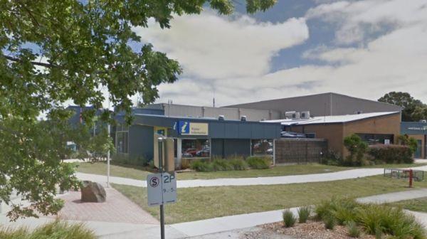
The Inverloch Visitor Information Centre is located in the center of Inverloch and has plenty of information about the local places of interest, including wineries etc.
Open Hours:9.00am to 5.00pm everyday
Entrance to the Inverloch Visitor Information C ...
Read More...
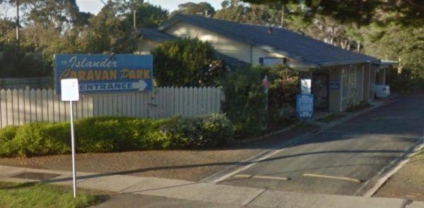
Entrance to the Islander Caravan Park Islander Caravan Park location map
Italian Flat is a large flat campsite, with one toilet located on the banks of the Upper Dargo River. You will find a couple of small shallow swimming holes on the river and this camp is only 10 min from Dargo. Italian Flat Campground location map
Entrance to the J.Sloane Park Rest Area J.Sloane Park Rest Area location map
Jacka Park Rest Area
Entrance to the Jacka Park Rest Area
Jacka Park Rest Area location map
Wedderburn is a rural town located in Victoria, Australia on the Calder Highway, 214 kilometres north of Victoria's capital city, Melbourne. At the 2006 census, Wedderburn ...
Read More...
The Jackass Fern Gully Camping Area is a peaceful stop off point to for a day or two and nice flat campsites, with a few walking tracks to take your camera along.
Entrance to the Jackass Fern Gully Camping Area
Jackass Fern Gully Camping Area Location ...
Read More...
James Camping Area is quite close to the Moonee Creek is quite close to this spot. There are fire pits with swinging hot plate and long drop toilets with plenty of shade to park. James Camping Area Location Map
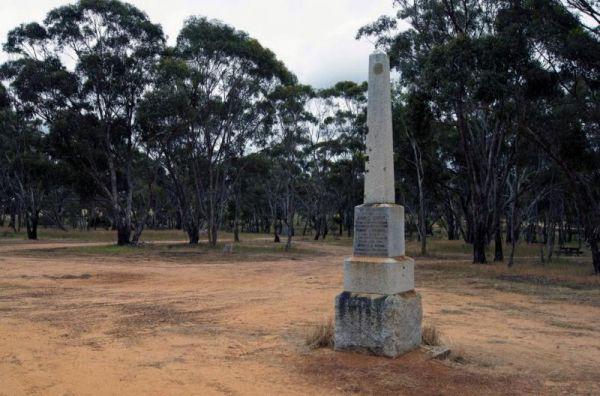
The Jane Duff Highway Park Rest Area has a historical marker dedicated to Jane Duff, one of three Duff children who in 1864 that was found by an Aboriginal tracker, after being lost for nine days in the bush.
There is also a small lake nearby if you fanc ...
Read More...
Entrance to the JC Stretch Memorial Park Rest Area JC Stretch Memorial Park Rest Area location map
Jessie Kennedy Reserve Rest Area
The Jessie Kennedy Reserve Rest Area is not the most quietest of places to rest at with the Midland Hwy running past. Entrance to the Jessie Kennedy Reserve Rest Area Jessie Kennedy Reserve Rest Area location map
