Victoria: A-Z
Skenes Creek Beachfront Park
Entrance to the Skenes Creek Beachfront Park Skenes Creek Beachfront Park location map
Skinners Flat Rest Area
Skinners Flat Rest Area 360 Skinners Flat Rest Area location map
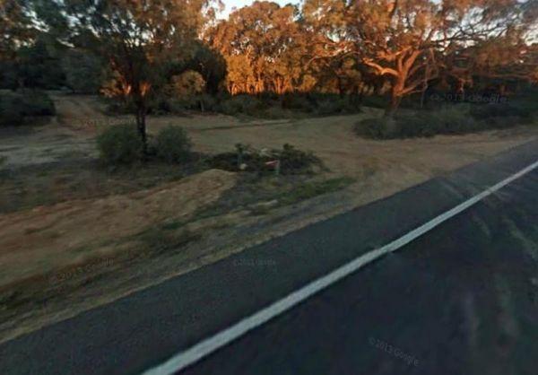
Entrance to Skipworth Reserve Skipworth Reserve Location Map
Slaty Creek Campground No1
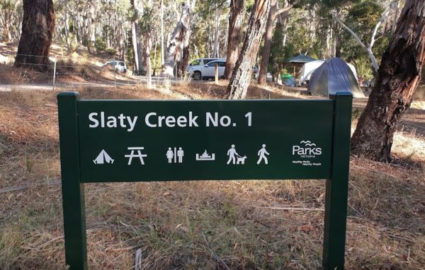
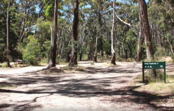
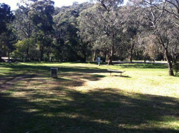
The Slaty Creek Campground No1 has a public long drop toilet, fire pits with bbq, picnic tables and quite a few places to camp at with your caravan. You will share this place with a few gold prospectors and a few motorbikes.
Entrance to the Slaty Creek C ...
Read More...
Slaty Creek Campground No2
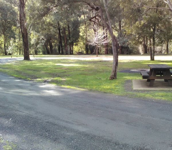
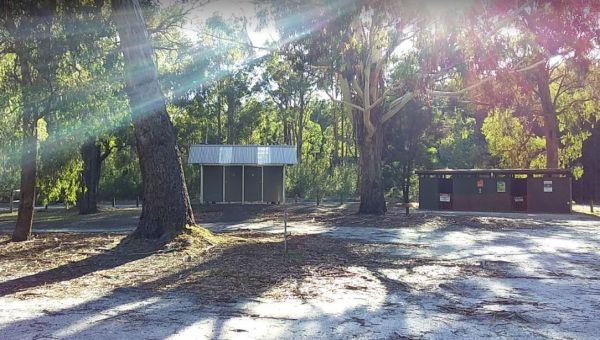
The Slaty Creek Campground No2 is a nice place for an overnight camp, and it's only a 5 minutes walk to the toilets at Campground No1. This cam is best suited to tents and camper trailers, or small campervans.
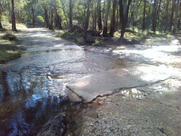
Note: The small creek has no water flowing i ...
Read More...
Slaty Creek Campground No3
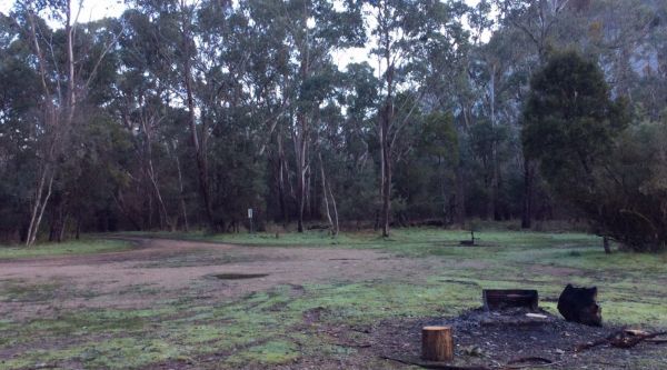
To get the Slaty Creek Campground No3, it's best to drive in from the slaty creek road end as its an easier road. Some campsites have small concrete slabs for leveling your van. Campground No1 has a public toilet
Entrance to the Slaty Creek Campground No ...
Read More...
The Smiths Bridge Campground, is fairly close to the main road, but not to many cars at night so you can relax in amongst the tall trees, and take advantage of public toilets and the picnic facilities.
Entrance to the Smiths Bridge Campground
Smiths B ...
Read More...
Smythesdale Park Rest Area
The Smythesdale Park Rest Area has room for caravans and motorhomes. There is a small fee charged for those interested in camping at the Park. Entrance to the Smythesdale Park Rest Area Smythesdale Park Rest Area location map
Snowy Creek Campground
The Snowy Creek Campground is located on the banks of the Snowy, with Brown and Rainbow Trout, Redfin, Yellow Belly, Blackfish.Creek, and Murray Cod waiting to be caught. There is a public toilet and picnic tables at this camp. Other activities include bu ...
Read More...
Entrance to the Snowy River Rest Area No 1 Snowy River Rest Area No 1 location map
Entrance to the Snowy River Rest Area No 2 Snowy River Rest Area No 2 location map
Entrance to the Somers Caravan Park Somers Caravan Park location map
The Specimen Creek Camping Ground is a 4x4 enthusiasts with and tent based camping, so you need to bring everything you need for this rough bush campsite. Specimen Creek Camping Ground location map
The Spencers Bend Camping Area is a tight squeeze for caravans, and more suited to camper trailers and tents. Spencers Bend Camping Area location map
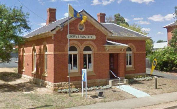
The St Arnaud Visitor Information Centre is located Directly Opposite the Queen Mary Gardens. The garden is a nice place to have a stroll around. Entrance to the St Arnaud Visitor Information Centre St. Arnaud Tourism location map
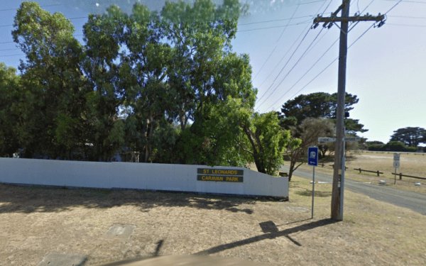
St Leonards Caravan Park
Entrance to the St Leonards Caravan Park St Leonards Caravan Park location map
Stacey Bridge Camping Area
The Stacey Bridge Camping Area is next to the beautiful Wheeler Creek, there's two sites on either side of the road, with plenty of space your caravan. There's well maintained long drop toilets, fire pits, picnic tables. The Wheeler Creek is good for fly ...
Read More...
Staghorn Flat Rest Area
Entrance to the Staghorn Flat Rest Area Staghorn Flat Rest Area location map
Entrance to the Stan Allen Reserve Rest Area Stan Allen Reserve Rest Area location map
