Victoria: A-Z
Willis Campground Area
Willis Campground location map
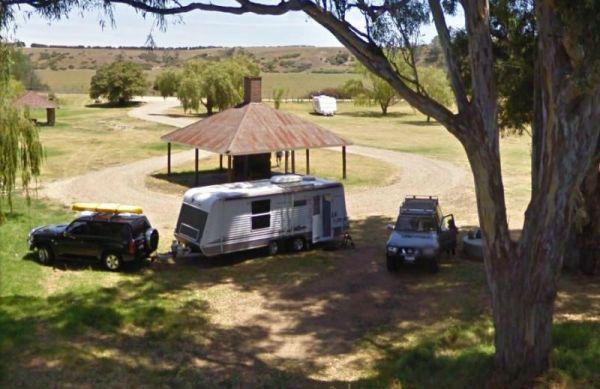
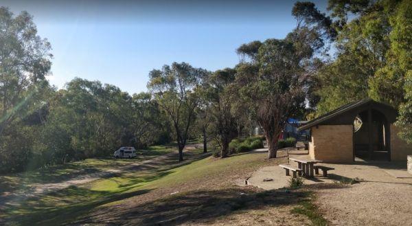
The Willow Park Free Camping area is located approximately 1km North of Rosedale alongside Latrobe River, undercover picnic tables, bbq, and public toilets, with lots or room to park motorhomes and caravans.
There is a 24 Hour Limit imposed to camp here. ...
Read More...
Entrance to the Wimmera Lakes Caravan Resort Wimmera Lakes Caravan Resort location map
Winchelsea Park Rest Area
Entrance to the Winchelsea Park Rest Area Winchelsea Park Rest Area location map
Wingan Inlet Campground
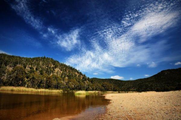
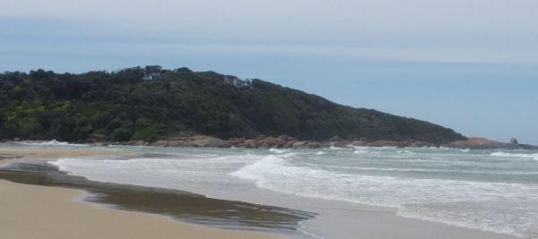
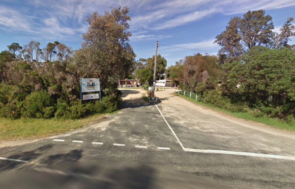
Wingan Inlet Campground is a beautiful place, with not many people, and sensational walks, plus great camping spots, and two public toilets. It's a fair walk to the beach, approx 1.5km, but well worth it when you get there, with good fishing. for flathead ...
Read More...
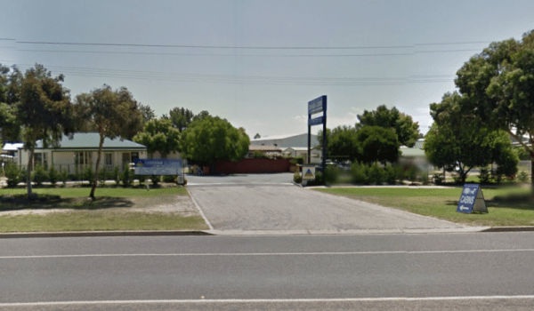
Entrance to the Wodonga Caravan & Cabin Park Wodonga Caravan & Cabin Park location map
Entrance to the Won Wron North Rest Area Won Wron North Rest Area location map
Wonnangatta Valley Camping Area
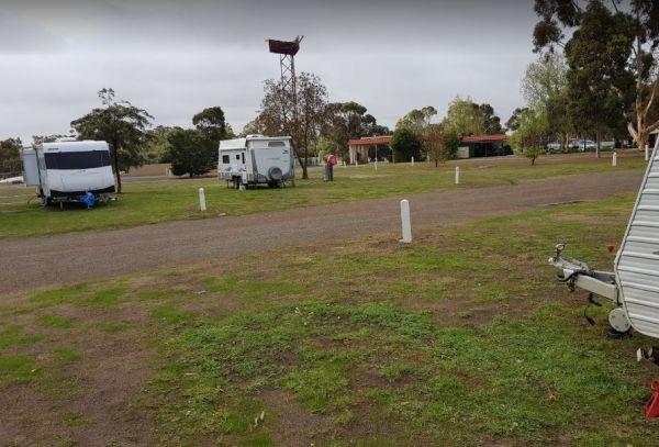
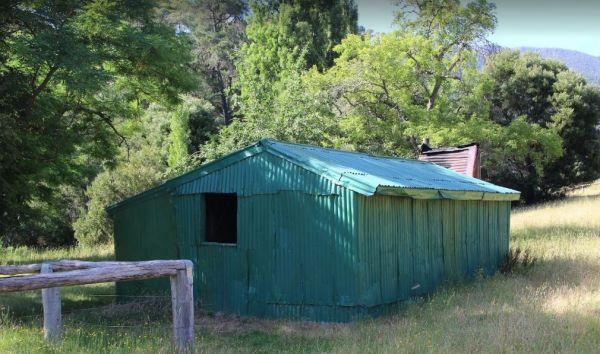
The Wonnangatta Valley Camping Area has river access and large flat areas to camp, and quite a bit to see here. Pop over to the small Cemetery and pay your respects to some of the districts Pioneers. Wonnangatta Valley Camping Area location map
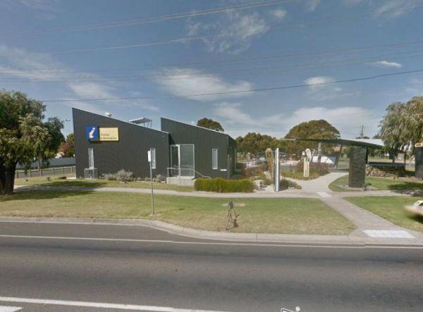
The Wonthaggi Visitor Information Centre is also a an Art Gallery, and a Gift shop, showing creative works from some of the local artists. It's worth stopping simply to check out the artwork, and get some expert advice on thing to see and do in Wonthaggi. ...
Read More...
Entrance to the Wood Wood Rest Area Wood Wood Rest Area location map
To enter the Woodend Visitor Information Centre enter from Calder highway onto Margery Crescent. Woodend Visitor Information Centre Woodend Visitor Information Centre location map
Entrance to Woodside Beach Caravan Park. Woodside Beach Caravan Park location map.
Wulgulmeran Recreation Reserve
Entrance to the Wulgulmeran Recreation Reserve - Free Dump Point Wulgulmeran Recreation Reserve - Free Dump Point location map
Wycheproof Caravan Park
Entrance to Wycheproof Caravan Park Wycheproof Caravan Park Location Map
Wycheproof North Rest Area 1
Entrance to the Wycheproof North Rest Area 1 Wycheproof North Rest Area 1 location map
Wycheproof North Rest Area 2
Entrance to the Wycheproof North Rest Area 2 Wycheproof North Rest Area 2 location map
Wycheproof South Rest Area
The Wycheproof South Rest Area Entrance to the Wycheproof South Rest Area Wycheproof South Rest Area location map
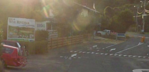
Entrance to the Wye River Holiday Park BIG4 Wye River Holiday Park BIG4 location map
Entrance to the Wyuna Rest Area Wyuna Rest Area location map
The Yaapeet Beach Camping Area on average the lake fills every twenty years or so. Make sure you bring plenty of drinking water with you. Yaapeet Beach Camping Area location map
