Free Camping

Victoria Free Camping and Campgrounds List
Free camping is an extremely cost effective way to explore the Victorian countryside.
There are so many free camping places to choose your perfect camp from.
Ranging from the very basic rough and ready bare bones camping, perhaps amazing scenery, beautiful riverside camps, right through to flushing public toilets and hot showers, drinking water, free bbqs, undercover picnic tables etc.
Please Add Missing Free Camping Areas 📖
Please Add, any Free Camping Areas in Victoria that we don't already have listed 😉OR, you can Contact Admin and they can Add it for you.
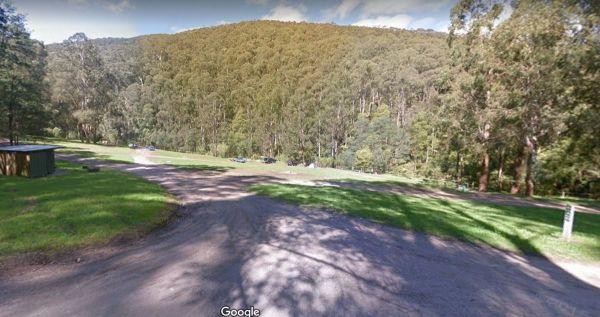
The Toorongo Falls Camping Area provides bush camping sites near the Toorongo River. Camping sites are available on a first come, first served basis and no booking is required.
Directions: From the Noojee Township head east for 4kms, then turn left onto ...
Read More...
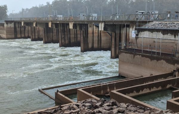
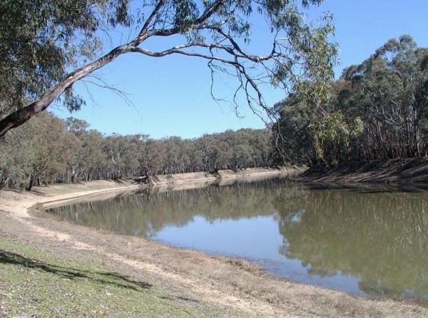
The Torrumbarry Weir Camping Area is a great place for fishing, swimming or boating. This is a bush camp with plenty of spots to choose from, and not far from the Murray River. Be sure to pop over to the Weir gates and learn the history on how the weir wa ...
Read More...
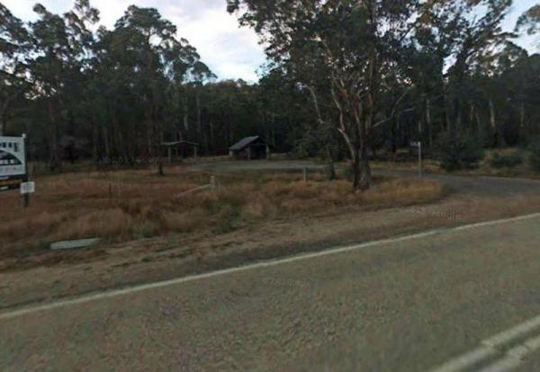
The Twelve Mile Reserve Camping Area has level camping areas, with long drop toilets and good access to the Goulburn River where it's safe to swim. This is a place to test out the kayak, or have a go at some fishing.
Entrance to the Twelve Mile Reserve C ...
Read More...
Two Mile Creek camping ground
Two Mile Creek camping ground is 7kms from Dargo, via the Dargo - Omeo Road beside creek and winding dirt road. There is a drop toilet, but you will need to bring everything else you need. Two Mile Creek camping ground location map
The Vennells Camping Area Upper is a nice campsite, but be warned, there is some broken glass in the river. There is not a lot of tent space available and best suited to 4x4's vehicle camping. Vennells Camping Area Upper location map
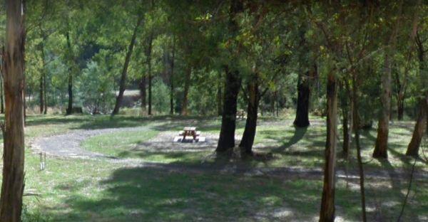
The Victoria Falls Campground is a beautiful little sheltered campground, with a public long drop toilet and good grassy areas. It has a lovely bubbling creek with small trout to be caught. There are large areas to park your caravan, with fire pits and pi ...
Read More...
The Vinifera State Forest Camping Area does not have a lot of places that you can turn around, when towing your caravan into this site. Vinifera State Forest Camping Area location map
The Waanyarra Camping Grounds is situated in the Waanyarra/Dunolly state forest. There are long drop toilets, a shade hut with seating, and tank water but not suitable for drinking. The campground is quite large and is accessible for all vehicles includin ...
Read More...
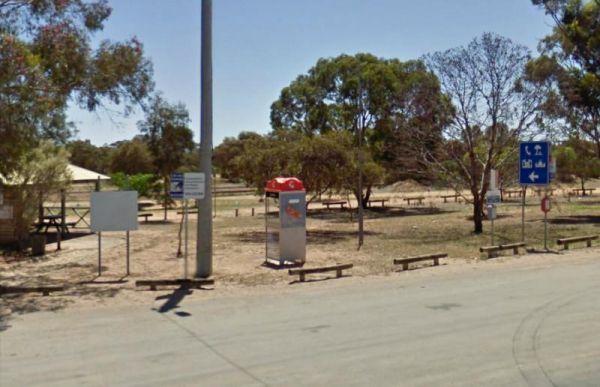
The Wail Rest Area is a fairly open area with plenty of room for the largest rigs to manoeuvre. Entrance to the Wail Rest Area Wail Rest Area location map
The Walhalla North Gardens is located next to the absolutely stunning town full of history. There picnic tables, running water taps, a public toilet, fire pits and your campsite is right next to a small stream. Walhalla can be linked back to the gold rush ...
Read More...
Walpeup Lake Camping Area is a great spot to camp, with some picnic tables and hot showers plus flushing toilets. The lake was constructed from a swamp in the 1930s but millennium drought and GWM pipeline put an end to it.
Walpeup Lake Camping Area locat ...
Read More...
The Wannon Falls is situated between Hamilton and Coleraine. It's a bush setting and is accessible for all on and off road caravanners. Bring your own wood and build fires only in constructed fireplaces. The available Drinking Water is Tank Water. Boiling ...
Read More...
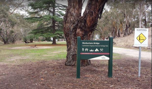
The Warburtons Bridge is a nice spot with Loddon River running at the back of it. It's mainly a level camping area with a few large river gum trees, and a long drop toilet and lots of picnic tables and fire pits. There are a few walking goldfield tracks t ...
Read More...
The Wartook Forest Camping Area has quite a few Rough spots to camp at for the more adventurous out there. BYO Everything and take your rubbish away with you. Entrance to the Wartook Forest Camping Area Wartook Forest Camping Area location map
The Waterfalls Picnic and Campground has quite a few hiking tracks to choose from, including an 18 km Pyrenees Endurance Walk for the more energetic amongst us.
Entrance to the Waterfalls Picnic and Campground
Waterfalls Picnic and Campground location ...
Read More...
The Watts Bend Camping Area has quite a few places to choose from, but remember to bring everything you need, and take away your rubbish. Watts Bend Camping Area location map
The Western Beach Camping Area has excellent toilets and cold showers with lighting, and tank water on tap. Fishing is not an option here as the lake has been dry for many years, and fills approx every 20 years or so.
Western Beach Camping Area location ...
Read More...
