Free Camping

Victoria Free Camping and Campgrounds List
Free camping is an extremely cost effective way to explore the Victorian countryside.
There are so many free camping places to choose your perfect camp from.
Ranging from the very basic rough and ready bare bones camping, perhaps amazing scenery, beautiful riverside camps, right through to flushing public toilets and hot showers, drinking water, free bbqs, undercover picnic tables etc.
Please Add Missing Free Camping Areas 📖
Please Add, any Free Camping Areas in Victoria that we don't already have listed 😉OR, you can Contact Admin and they can Add it for you.
The Horseyard Flat Camping Area has a nice and the stunning walk to the Falls and gorge. There are lots of 4x4 tracks to explore, the lower campgrounds back right onto the Moroka River. Horseyard Flat Camping Area location map
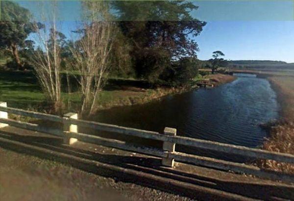
The Hotspur Bridge has a few good fishing spots, and it's on the banks of the Crawford River, with plenty of room to turn around. Bear in mind this place can get very boggy if it rains. Entrance to the Hotspur Bridge Hotspur Bridge location map
The Hunts Bridge Camping Area has plenty of space and shade next to the Moorabool River West Branch with a deep water hole for good swimming. It's recommended to get there early, as the best camping spots go fast.
Entrance to the Hunts Bridge Camping Are ...
Read More...
Indi Bridge Reserve Camping Area
The Indi Bridge Reserve Camping Area is an absolutely awesome campground with a long drop toilet. This is a nice place for fishing, relaxing and the occasional photograph of the one that got away.
Note: There is an irrigation pump that starts up in dry p ...
Read More...
Italian Flat is a large flat campsite, with one toilet located on the banks of the Upper Dargo River. You will find a couple of small shallow swimming holes on the river and this camp is only 10 min from Dargo. Italian Flat Campground location map
The Jackass Fern Gully Camping Area is a peaceful stop off point to for a day or two and nice flat campsites, with a few walking tracks to take your camera along.
Entrance to the Jackass Fern Gully Camping Area
Jackass Fern Gully Camping Area Location ...
Read More...
James Camping Area is quite close to the Moonee Creek is quite close to this spot. There are fire pits with swinging hot plate and long drop toilets with plenty of shade to park. James Camping Area Location Map
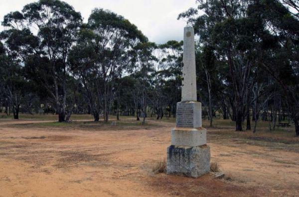
The Jane Duff Highway Park Rest Area has a historical marker dedicated to Jane Duff, one of three Duff children who in 1864 that was found by an Aboriginal tracker, after being lost for nine days in the bush.
There is also a small lake nearby if you fanc ...
Read More...
Entrance to the JC Stretch Memorial Park Rest Area JC Stretch Memorial Park Rest Area location map
The Jimmy Bullocks Camping Area is close to the Big River that flows around a bend, giving you plenty of river to explore, without walking too far from your tent. Jimmy Bullocks Camping Area location map
Jokers Flat Camping Area
The Jokers Flat Camping Area is a nice campground next to the Big River, time to take the kayak off the roof and dip it in some water. Entrance to the Jokers Flat Camping Area Jokers Flat Camping Area location map
The Jones Camping Area has a public toilet, and some fireplaces, and is located next to the Holland Creek, so fishing for trout is a possibility, and there are plenty of photographs waiting to be taken here. Jones Camping Area location map
Karri Track Camping Area
The Karri Track Camping Area, there is a drop toilet and a few picnic tables and fireplaces provided.No bookings are required here and the camping area is off Old Avoca Road on the Karri Track, it's a well-graded unsealed road.
Note: This is a first in g ...
Read More...
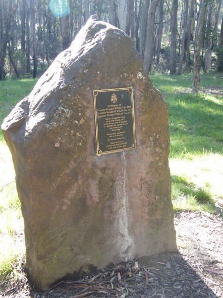
The Kelly Tree Stringybark Creek Camping Area, has public toilets, picnic tables and fire pits, and plenty of space to set up camp. This campground is located where Ned Kelly's gang murdered 3 Police officers.The names of the fallen officers is listed bel ...
Read More...
Kennedys Reserve
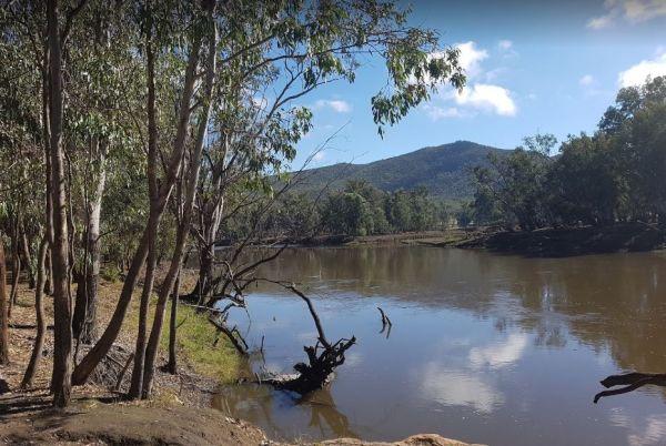
The Kennedys Reserve is next the Murray River with plenty of campsite opportunities. You can drop your kayak into the river and go for a paddle, or try out some riverbank fishing, or simply kick back and relax.
Entrance to the Kennedys Reserve
Kennedy ...
Read More...
The King Hut Camping Area has the King River close at hand, for the Trout fishermen out there. A normal 2wd car can get here in the drier months. King Hut Camping Area King Hut Camping Area location map
Kings Billabong Lookout has a loop track for you to stretch your legs, it's roughly a 200 meter walk to the lake. There are some undercover picnic tables here. Entrance to the Kings Billabong Lookout Kings Billabong Lookout location map
At the Kings Billabong Rest Area camping is permitted around the reserve, when backpacking in, you will find plenty of bush camping spots. Entrance to the Kings Billabong Rest Area Kings Billabong Rest Area location map
The Knockwood Reserve Camping Area is a good spot to blow the dust off your kayak and do some exploring. The campground is situated on the banks of the Gaffneys Creek, with plenty of grassy campsites to choose from.
Entrance to the Knockwood Reserve Camp ...
Read More...
Kurrajongs Camping Area
From the Kurrajongs Camping Area, you can walk to the Mt Lawson Summit (1,041m) and generally enjoy the area. Entrance to the Kurrajongs Camping Area Kurrajongs Camping Area location map
